Zumbrota is a city in Goodhue County, Minnesota, United States, along the North Fork of the Zumbro River. The population was 3,252 at the 2010 census. It promotes itself as “the only Zumbrota in the world.”
| Name: | Zumbrota city |
|---|---|
| LSAD Code: | 25 |
| LSAD Description: | city (suffix) |
| State: | Minnesota |
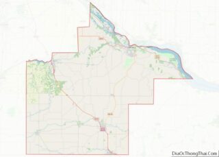
| County: | Goodhue County |
| Elevation: | 991 ft (302 m) |
| Total Area: | 2.83 sq mi (7.33 km²) |
| Land Area: | 2.82 sq mi (7.31 km²) |
| Water Area: | 0.01 sq mi (0.02 km²) |
| Total Population: | 3,726 |
| Population Density: | 1,319.87/sq mi (509.69/km²) |
| ZIP code: | 55992 |
| Area code: | 507 |
| FIPS code: | 2772328 |
| Website: | ci.zumbrota.mn.us |
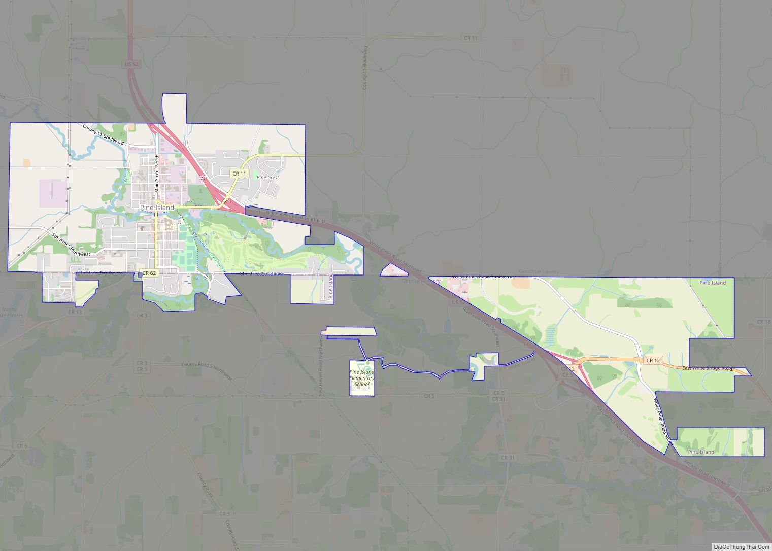
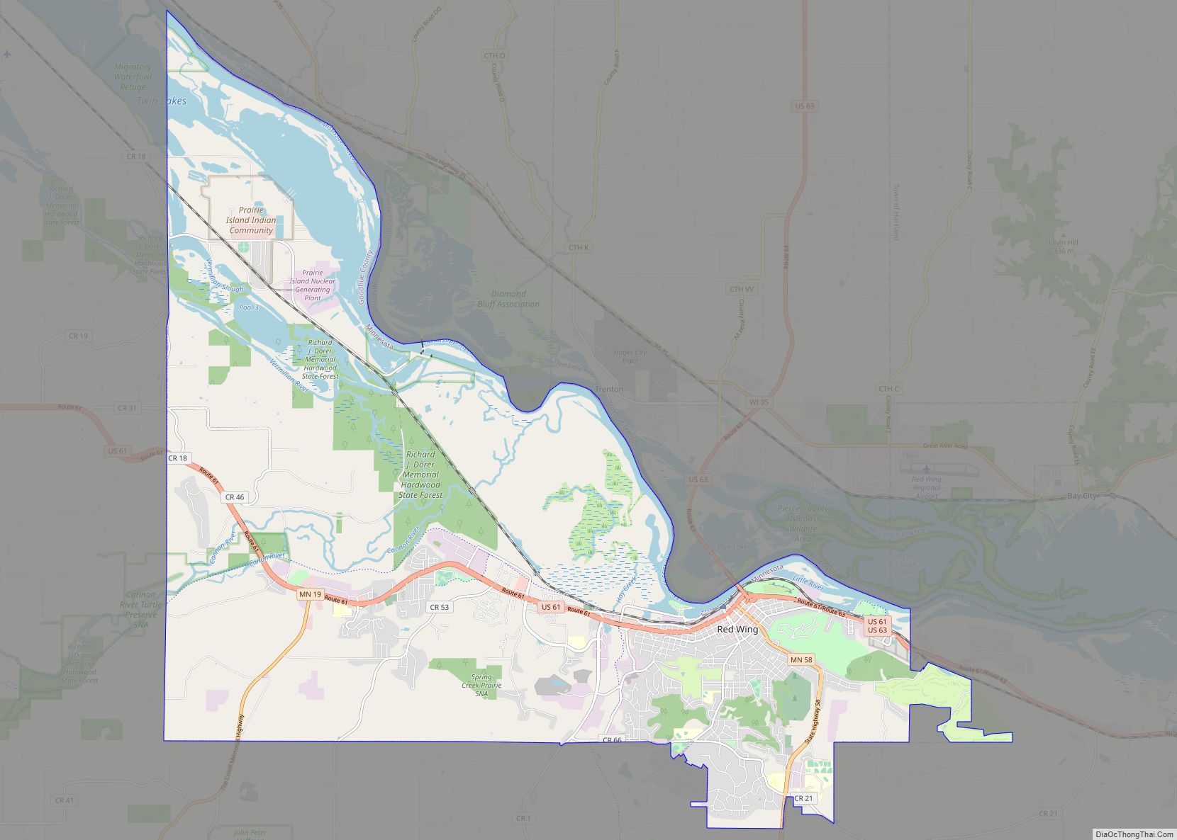
Online Interactive Map
Click on ![]() to view map in "full screen" mode.
to view map in "full screen" mode.
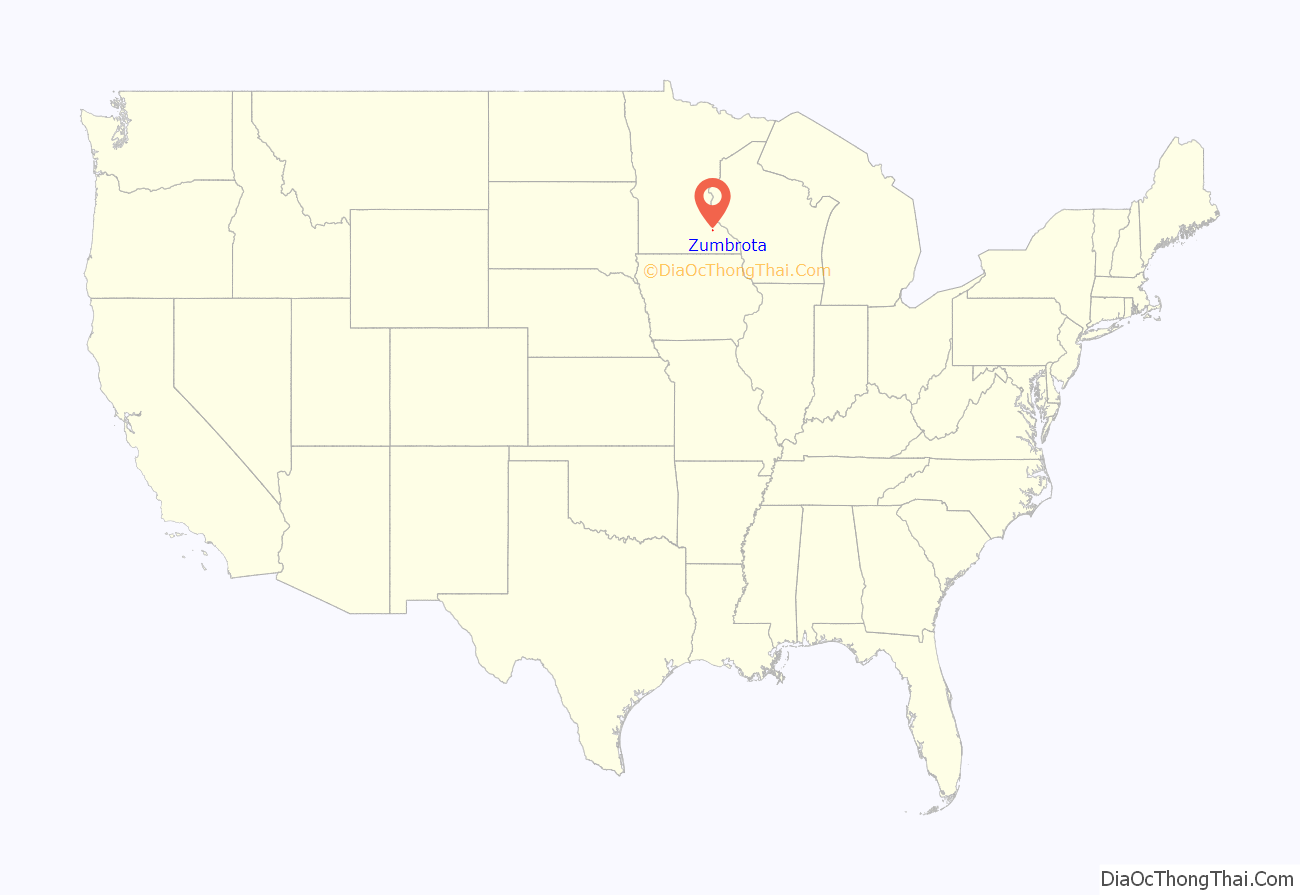
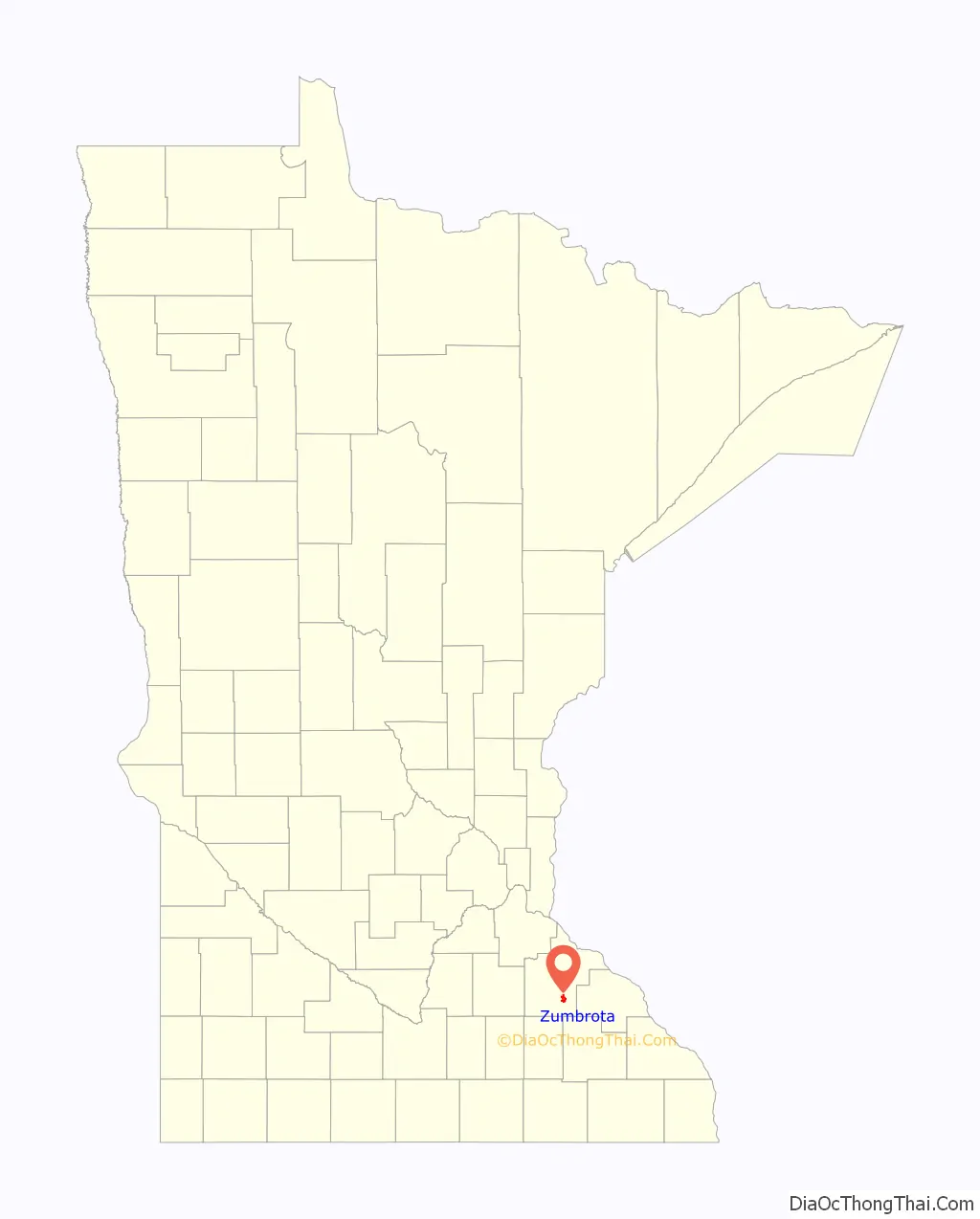
Zumbrota location map. Where is Zumbrota city?
History
Zumbrota was claimed as a town in 1856 by Joseph Bailey and D.B. Goddard. The name Zumbrota appears to have resulted from a corruption of the French name for the local Zumbro River, Rivière des Embarras (Obstruction River), coupled with the Dakota toŋ (village).
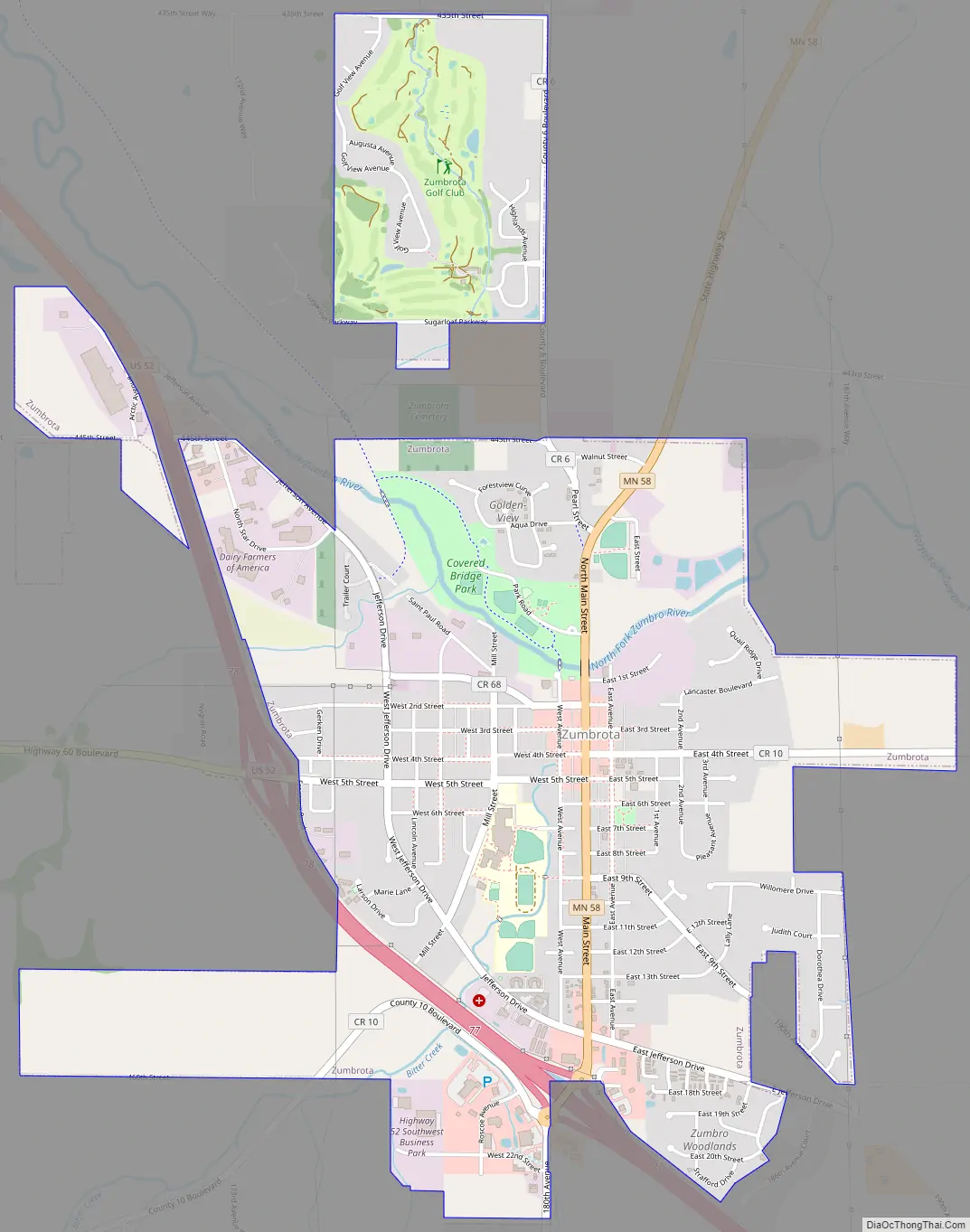
Zumbrota is home to the Zumbrota Covered Bridge, the last functioning covered bridge in the state of Minnesota. It was originally installed in 1869, one year before the arrival of railroads to the area. The bridge is listed on the National Register of Historic Places.
The Zumbrota Public Library was the first tax-supported library in Minnesota.
The city of Zumbrota celebrated its sesquicentennial in 2006.
Zumbrota Road Map
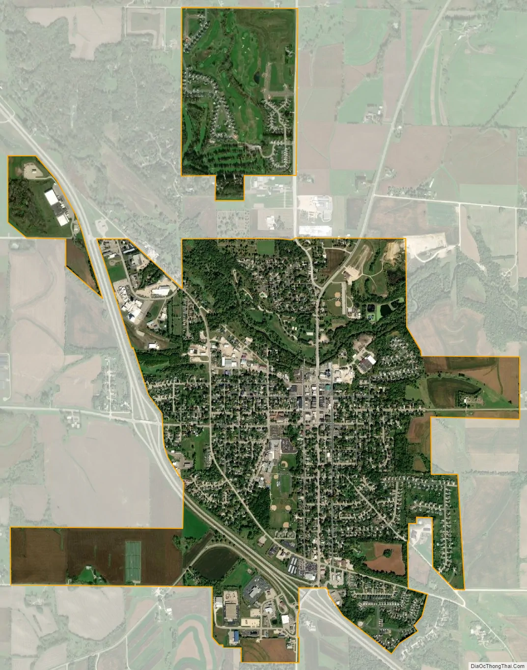
Zumbrota city Satellite Map
Geography
According to the United States Census Bureau, the city has an area of 2.68 square miles (6.94 km), of which 2.67 square miles (6.92 km) is land and 0.01 square miles (0.03 km) is water.
U.S. Route 52 and Minnesota State Highways 58 and 60 are the three main highways in the city.
Climate
See also
Map of Minnesota State and its subdivision:- Aitkin
- Anoka
- Becker
- Beltrami
- Benton
- Big Stone
- Blue Earth
- Brown
- Carlton
- Carver
- Cass
- Chippewa
- Chisago
- Clay
- Clearwater
- Cook
- Cottonwood
- Crow Wing
- Dakota
- Dodge
- Douglas
- Faribault
- Fillmore
- Freeborn
- Goodhue
- Grant
- Hennepin
- Houston
- Hubbard
- Isanti
- Itasca
- Jackson
- Kanabec
- Kandiyohi
- Kittson
- Koochiching
- Lac qui Parle
- Lake
- Lake of the Woods
- Lake Superior
- Le Sueur
- Lincoln
- Lyon
- Mahnomen
- Marshall
- Martin
- McLeod
- Meeker
- Mille Lacs
- Morrison
- Mower
- Murray
- Nicollet
- Nobles
- Norman
- Olmsted
- Otter Tail
- Pennington
- Pine
- Pipestone
- Polk
- Pope
- Ramsey
- Red Lake
- Redwood
- Renville
- Rice
- Rock
- Roseau
- Saint Louis
- Scott
- Sherburne
- Sibley
- Stearns
- Steele
- Stevens
- Swift
- Todd
- Traverse
- Wabasha
- Wadena
- Waseca
- Washington
- Watonwan
- Wilkin
- Winona
- Wright
- Yellow Medicine
- Alabama
- Alaska
- Arizona
- Arkansas
- California
- Colorado
- Connecticut
- Delaware
- District of Columbia
- Florida
- Georgia
- Hawaii
- Idaho
- Illinois
- Indiana
- Iowa
- Kansas
- Kentucky
- Louisiana
- Maine
- Maryland
- Massachusetts
- Michigan
- Minnesota
- Mississippi
- Missouri
- Montana
- Nebraska
- Nevada
- New Hampshire
- New Jersey
- New Mexico
- New York
- North Carolina
- North Dakota
- Ohio
- Oklahoma
- Oregon
- Pennsylvania
- Rhode Island
- South Carolina
- South Dakota
- Tennessee
- Texas
- Utah
- Vermont
- Virginia
- Washington
- West Virginia
- Wisconsin
- Wyoming