St. Johnsville is a village in Montgomery County, New York, United States. The population was 1,732 at the 2010 census. Accounts vary as to the etymology of the name, but most of these credit Alexander St. John, an early surveyor and commissioner, while still others credit an early name for the area, St. John’s Church.
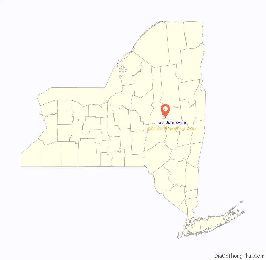
The Village of St. Johnsville is in the southern part of the Town of St. Johnsville and lies between Utica and Amsterdam. In 2019, almost the entire village was listed on the National Register of Historic Places as the St. Johnsville Historic District.
| Name: | St. Johnsville village |
|---|---|
| LSAD Code: | 47 |
| LSAD Description: | village (suffix) |
| State: | New York |
| County: | Montgomery County |
| Elevation: | 328 ft (100 m) |
| Total Area: | 0.88 sq mi (2.28 km²) |
| Land Area: | 0.88 sq mi (2.27 km²) |
| Water Area: | 0.00 sq mi (0.00 km²) |
| Total Population: | 1,643 |
| Population Density: | 1,871.30/sq mi (722.90/km²) |
| FIPS code: | 3664639 |
| GNISfeature ID: | 0963694 |
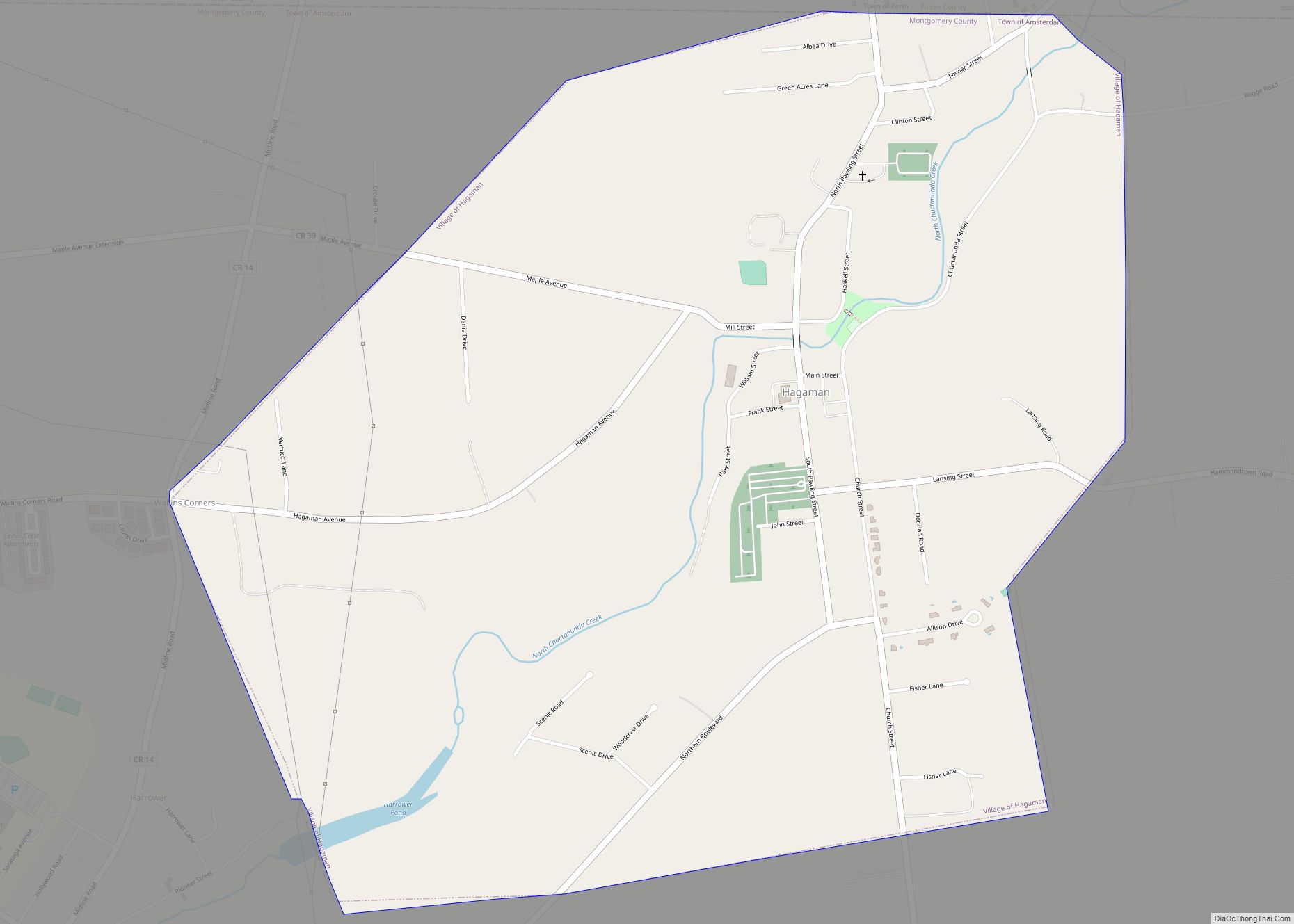
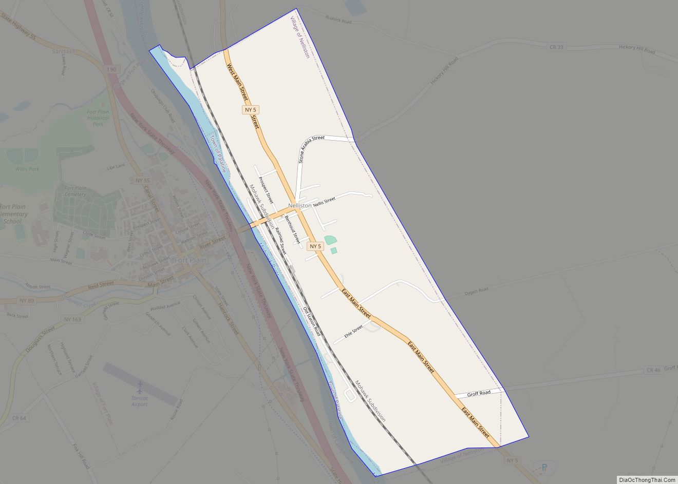
Online Interactive Map
Click on ![]() to view map in "full screen" mode.
to view map in "full screen" mode.
St. Johnsville location map. Where is St. Johnsville village?

History
The area was within the territory of the Mohawk tribe when Europeans first entered the Mohawk Valley. Palatine Germans began settling the area in the early 18th century.
The community was first settled circa 1775.
A small battle was fought during the American Revolution in 1780 near Fort Klock, which lies to the east of St. Johnsville.
St. Johnsville village was incorporated in 1857.
On October 12, 1914, former President Theodore Roosevelt arrived from the west by auto caravan at Allter’s corner in St. Johnsville (where Stewart’s is today). He spoke from an auto on behalf of the candidacy of Progressive Party candidate for governor, Frederick Davenport. Local residents surrounded his car on all sides. Roosevelt’s theme was that people should be wary of the old political parties and get rid of Albany party bosses Barnes and Murphy, who were in collusion with one another. The Enterprise said that Davenport was the more impressive speaker as Roosevelt “is evidently unable to cope with outdoor activities at the present time.” The auto caravan moved on, heading for Albany. Davenport lost in November, Roosevelt chose not to run for President in 1916, and the Progressive Party faded away. Governor Franklin D. Roosevelt stopped his car there (the old store had been razed by then) in the fall of 1930 and made a brief address about farm relief and the need for a $50 million bond issue for prisons and to care for the insane. Future Governor Herbert Lehman also spoke to the crowd. Future Governor Thomas Dewey stopped at the Shell station in June, 1941, and then visited Pietrocini’s barber shop.
On June 28, 2006, St. Johnsville faced its worst flood in one hundred years.
The Bates-Englehardt Mansion, Stone Grist Mill Complex, and United States Post Office are listed on the National Register of Historic Places. The Margaret Reaney Memorial Library was added in 2012.
In 2016, St. Johnsville’s first organic chicken farm, Simple Coop Organics, opened. Simple Coop invested in the community with scenic rental properties.
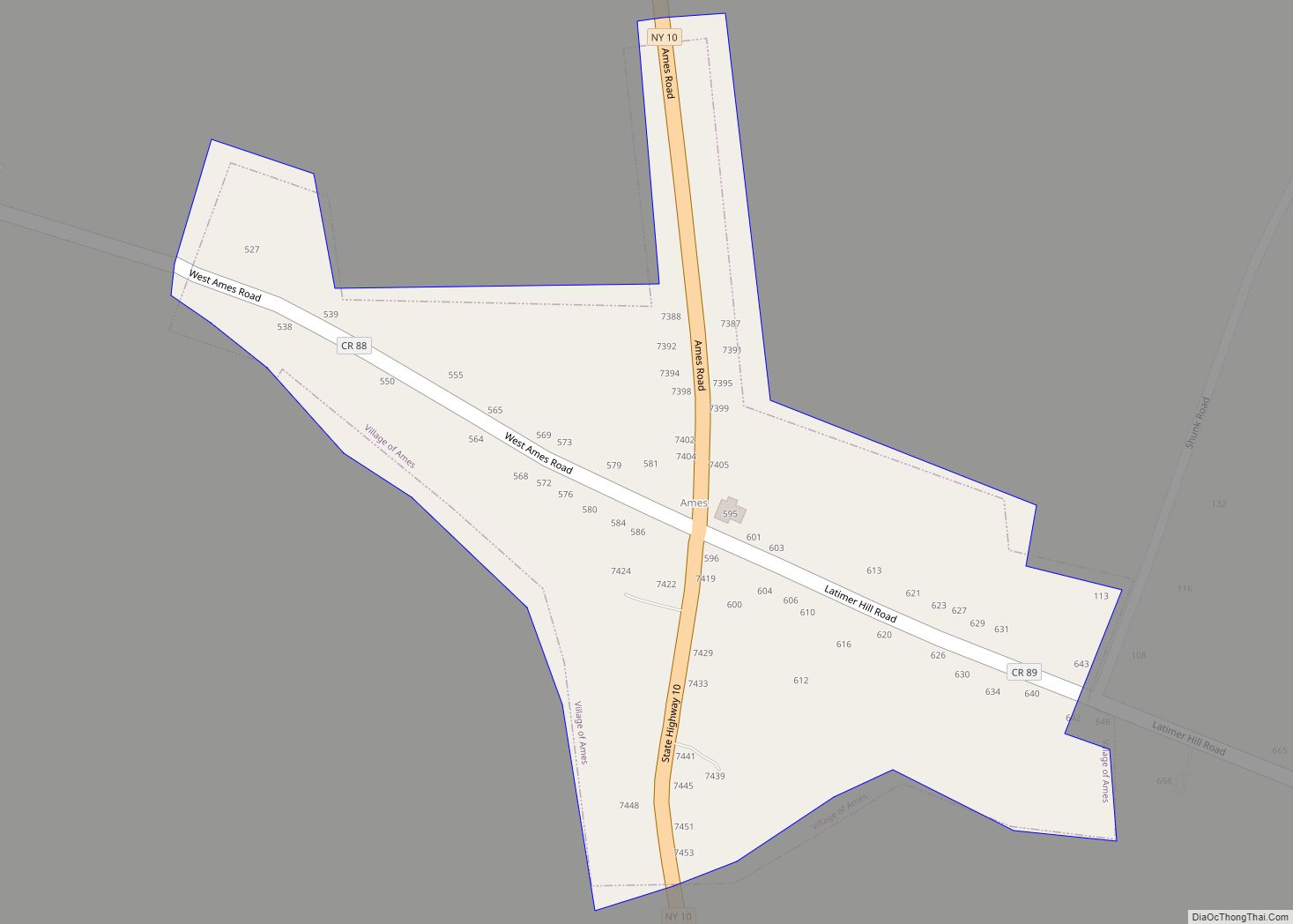
St. Johnsville Road Map

St. Johnsville city Satellite Map

Geography
St. Johnsville is located at 42°59′58″N 74°40′42″W / 42.99944°N 74.67833°W / 42.99944; -74.67833 (42.999674, -74.678386).
According to the United States Census Bureau, the village has a total area of 0.9 square mile (2.2 km), all land.
The village is on the north bank of the Mohawk River and the Erie Canal. Zimmermann Creek, a tributary of the Mohawk, flows through the village.
New York State Route 5 passes through the village as Main Street.
See also
Map of New York State and its subdivision:- Albany
- Allegany
- Bronx
- Broome
- Cattaraugus
- Cayuga
- Chautauqua
- Chemung
- Chenango
- Clinton
- Columbia
- Cortland
- Delaware
- Dutchess
- Erie
- Essex
- Franklin
- Fulton
- Genesee
- Greene
- Hamilton
- Herkimer
- Jefferson
- Kings
- Lake Ontario
- Lewis
- Livingston
- Madison
- Monroe
- Montgomery
- Nassau
- New York
- Niagara
- Oneida
- Onondaga
- Ontario
- Orange
- Orleans
- Oswego
- Otsego
- Putnam
- Queens
- Rensselaer
- Richmond
- Rockland
- Saint Lawrence
- Saratoga
- Schenectady
- Schoharie
- Schuyler
- Seneca
- Steuben
- Suffolk
- Sullivan
- Tioga
- Tompkins
- Ulster
- Warren
- Washington
- Wayne
- Westchester
- Wyoming
- Yates
- Alabama
- Alaska
- Arizona
- Arkansas
- California
- Colorado
- Connecticut
- Delaware
- District of Columbia
- Florida
- Georgia
- Hawaii
- Idaho
- Illinois
- Indiana
- Iowa
- Kansas
- Kentucky
- Louisiana
- Maine
- Maryland
- Massachusetts
- Michigan
- Minnesota
- Mississippi
- Missouri
- Montana
- Nebraska
- Nevada
- New Hampshire
- New Jersey
- New Mexico
- New York
- North Carolina
- North Dakota
- Ohio
- Oklahoma
- Oregon
- Pennsylvania
- Rhode Island
- South Carolina
- South Dakota
- Tennessee
- Texas
- Utah
- Vermont
- Virginia
- Washington
- West Virginia
- Wisconsin
- Wyoming