Tarrytown is a village in the town of Greenburgh in Westchester County, New York. It is located on the eastern bank of the Hudson River, approximately 25 miles (40 km) north of Midtown Manhattan in New York City, and is served by a stop on the Metro-North Hudson Line. To the north of Tarrytown is the village of Sleepy Hollow (formerly “North Tarrytown”), to the south the village of Irvington and to the east unincorporated parts of Greenburgh. The Tappan Zee Bridge crosses the Hudson at Tarrytown, carrying the New York State Thruway (Interstates 87 and 287) to South Nyack, Rockland County and points in Upstate New York. The population was 11,860 at the 2020 census.
| Name: | Tarrytown village |
|---|---|
| LSAD Code: | 47 |
| LSAD Description: | village (suffix) |
| State: | New York |
| County: | Westchester County |
| Incorporated: | 1870 |
| Elevation: | 121 ft (37 m) |
| Total Area: | 5.69 sq mi (14.73 km²) |
| Land Area: | 2.94 sq mi (7.60 km²) |
| Water Area: | 2.75 sq mi (7.13 km²) |
| Total Population: | 11,860 |
| Population Density: | 4,039.51/sq mi (1,559.82/km²) |
| ZIP code: | 10591 |
| Area code: | 914 |
| FIPS code: | 3673176 |
| GNISfeature ID: | 0967065 |
| Website: | www.tarrytowngov.com |
Online Interactive Map
Click on ![]() to view map in "full screen" mode.
to view map in "full screen" mode.
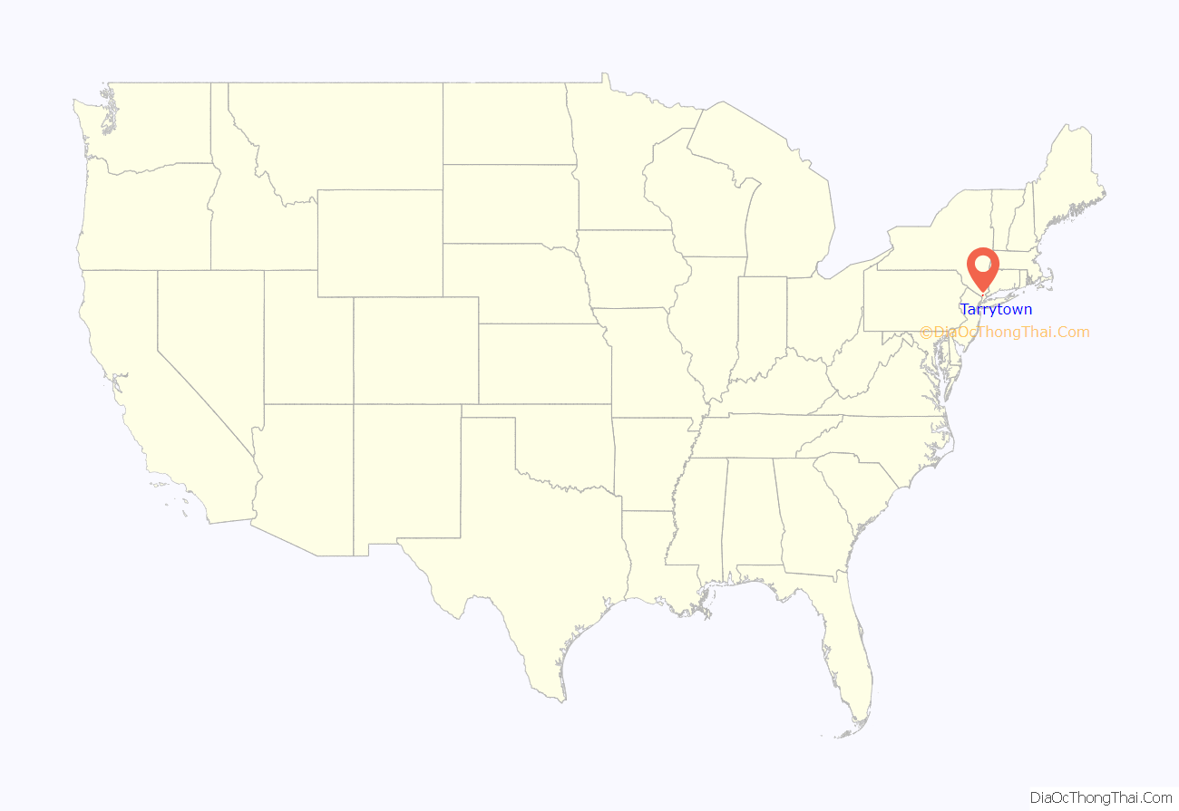
Tarrytown location map. Where is Tarrytown village?
History
The Native American Weckquaesgeek tribe, who were closely related to the Wappinger Confederacy and further related to the Mohicans, lived in the area prior to European settlement. They fished the Hudson River for shad, oysters and other shellfish. Their principal settlement was at what is now the foot of Church Street near the Hudson River shore, between the current location of Losee Park and the Tappan Zee Bridge, at a place they called Alipconk, or the “Place of Elms”.
The first European settlers of Tarrytown were Dutch farmers, fur trappers, and fishermen. Records show that the first Dutch residence in Tarrytown was built in 1645; however, the exact location of this residence is not known. Tarrytown sits within the lands of the former Dutch Colony of New Netherland which became English territory in 1674 with the signing of the Treaty of Westminster. The name may come from the Dutch tarwe, meaning “wheat”.
In 1780, in a famous Revolutionary War incident, Major John André was arrested as a spy in Tarrytown, which exposed the plans of his associate Benedict Arnold. André, a British army officer, was traveling south through the village on the Albany Post Road when he was stopped and searched by three local militiamen. When suspicious papers were found in his boot, he was arrested as a spy, later convicted, and hanged. A circumstantial account of André’s capture by militiamen David Williams, John Paulding, and Isaac Van Wart was written in 1903 by the owner and publisher of the Tarrytown Argus, Marcius D. Raymond.
The writer Washington Irving described Tarrytown in “The Legend of Sleepy Hollow” (1820). Irving began his story, “In the bosom of one of those spacious coves which indent the eastern shore of the Hudson, at that broad expansion of the river denominated by the ancient Dutch navigators of the Tappan Zee, and where they always prudently shortened sail and implored the protection of St. Nicholas when they crossed, there lies a small market town or rural port which by some is called Greenburgh, but which is more generally and properly known by the name of Tarry Town.” The Underground Railroad ran through Tarrytown prior to the end of the U.S. Civil War.
Tarrytown later became a favorite residence for many rich New Yorkers, including John D. Rockefeller, who first moved to Tarrytown in 1893. Kykuit, Rockefeller’s elaborate mansion, was completed in 1906. In 1914, Kykuit became the site of numerous labor protests by radical anarchists, which protests were broken up by police in a series of violent clashes. Kykuit was the intended target of at least two bombing attacks planned by anarchists associated with the radical journalists Alexander Berkman and Luigi Galleani.
On November 19, 1915, a powerful dynamite bomb was discovered at Cedar Cliff, the Tarrytown estate of John D. Archbold, President of the Standard Oil Company. Police theorized the bomb was planted by anarchists and Industrial Workers of the World (IWW) radicals as a protest against the execution of IWW member Joe Hill in Salt Lake City. The bomb was discovered by a gardener, John Walquist, who found four sticks of dynamite, weighing a pound each, half hidden in a rut in a driveway 50 feet from the front entrance of the residence. The dynamite sticks were bound together by a length of wire, fitted with percussion caps, and wrapped with a piece of paper matching the color of the driveway, a path used by Archbold when going to or from his home by automobile. The bomb was later defused by police.
The Christ Episcopal Church, First Baptist Church of Tarrytown, Foster Memorial AME Zion Church, Washington Irving High School, North Grove Street Historic District, Patriot’s Park, and Tarrytown Music Hall are listed on the National Register of Historic Places. Lyndhurst and Sunnyside are listed as National Historic Landmarks.
The General Motors car manufacturing plant North Tarrytown Assembly was located in North Tarrytown until 1996. Today’s Metro-North Railroad’s Hudson Line runs through the abandoned property.
Sleepy Hollow Mayor Philip Zegarelli, in March 2007, met with Tarrytown Mayor Drew Fixell and district superintendent Howard Smith to discuss forming a blue-ribbon panel that would explore the pros and cons of an intermunicipal agreement. The two villages have shared a school district for 55 years. The villages already shared some services, as well, to lower their expenses, but the greatest reductions, especially in school and property taxes, would come from merging the two villages. However, each village has its own assessment roll. Zegarelli, who led an unsuccessful attempt in the mid-1970s to disaffiliate Sleepy Hollow from the town of Mount Pleasant, continues to advocate for secession – Sleepy Hollow from Mount Pleasant and Tarrytown from Greenburgh – as another way to save money. “If the idea is to save money, why have two levels of government?” he asked. The town of Mount Pleasant blocked Sleepy Hollow’s effort to secede, largely because it did not want to lose tax revenue from General Motors, Zegarelli said.
In 2014, Tarrytown was ranked second in the list of the top 10 places to live in New York, according to the national online real estate brokerage Movoto.
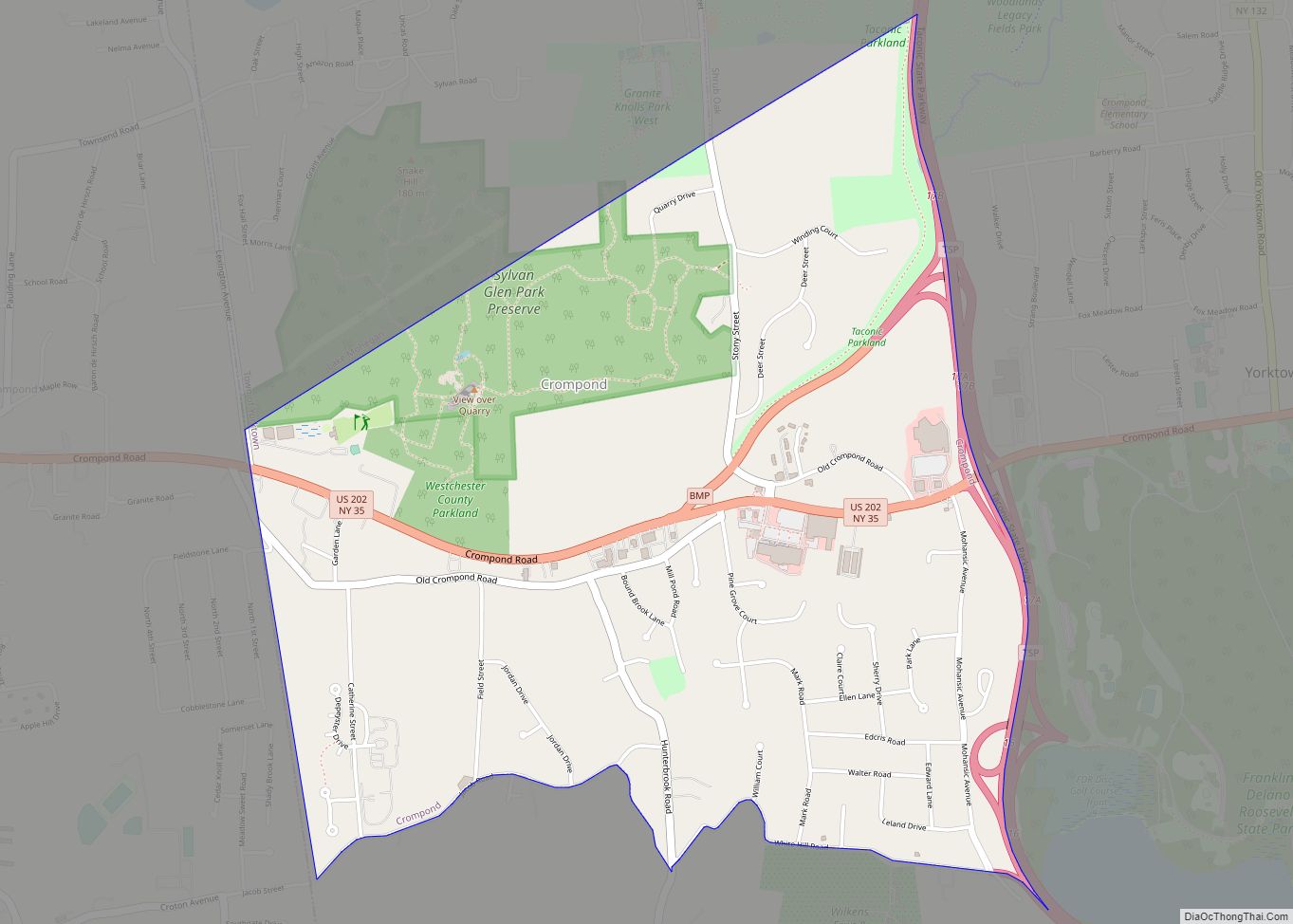
Tarrytown Road Map
Tarrytown city Satellite Map
Geography
According to the United States Census Bureau, the village has a total area of 5.7 square miles (15 km), of which 3.0 square miles (7.8 km) is land and 2.7 square miles (7.0 km) (47.54%) is water.
See also
Map of New York State and its subdivision:- Albany
- Allegany
- Bronx
- Broome
- Cattaraugus
- Cayuga
- Chautauqua
- Chemung
- Chenango
- Clinton
- Columbia
- Cortland
- Delaware
- Dutchess
- Erie
- Essex
- Franklin
- Fulton
- Genesee
- Greene
- Hamilton
- Herkimer
- Jefferson
- Kings
- Lake Ontario
- Lewis
- Livingston
- Madison
- Monroe
- Montgomery
- Nassau
- New York
- Niagara
- Oneida
- Onondaga
- Ontario
- Orange
- Orleans
- Oswego
- Otsego
- Putnam
- Queens
- Rensselaer
- Richmond
- Rockland
- Saint Lawrence
- Saratoga
- Schenectady
- Schoharie
- Schuyler
- Seneca
- Steuben
- Suffolk
- Sullivan
- Tioga
- Tompkins
- Ulster
- Warren
- Washington
- Wayne
- Westchester
- Wyoming
- Yates
- Alabama
- Alaska
- Arizona
- Arkansas
- California
- Colorado
- Connecticut
- Delaware
- District of Columbia
- Florida
- Georgia
- Hawaii
- Idaho
- Illinois
- Indiana
- Iowa
- Kansas
- Kentucky
- Louisiana
- Maine
- Maryland
- Massachusetts
- Michigan
- Minnesota
- Mississippi
- Missouri
- Montana
- Nebraska
- Nevada
- New Hampshire
- New Jersey
- New Mexico
- New York
- North Carolina
- North Dakota
- Ohio
- Oklahoma
- Oregon
- Pennsylvania
- Rhode Island
- South Carolina
- South Dakota
- Tennessee
- Texas
- Utah
- Vermont
- Virginia
- Washington
- West Virginia
- Wisconsin
- Wyoming
