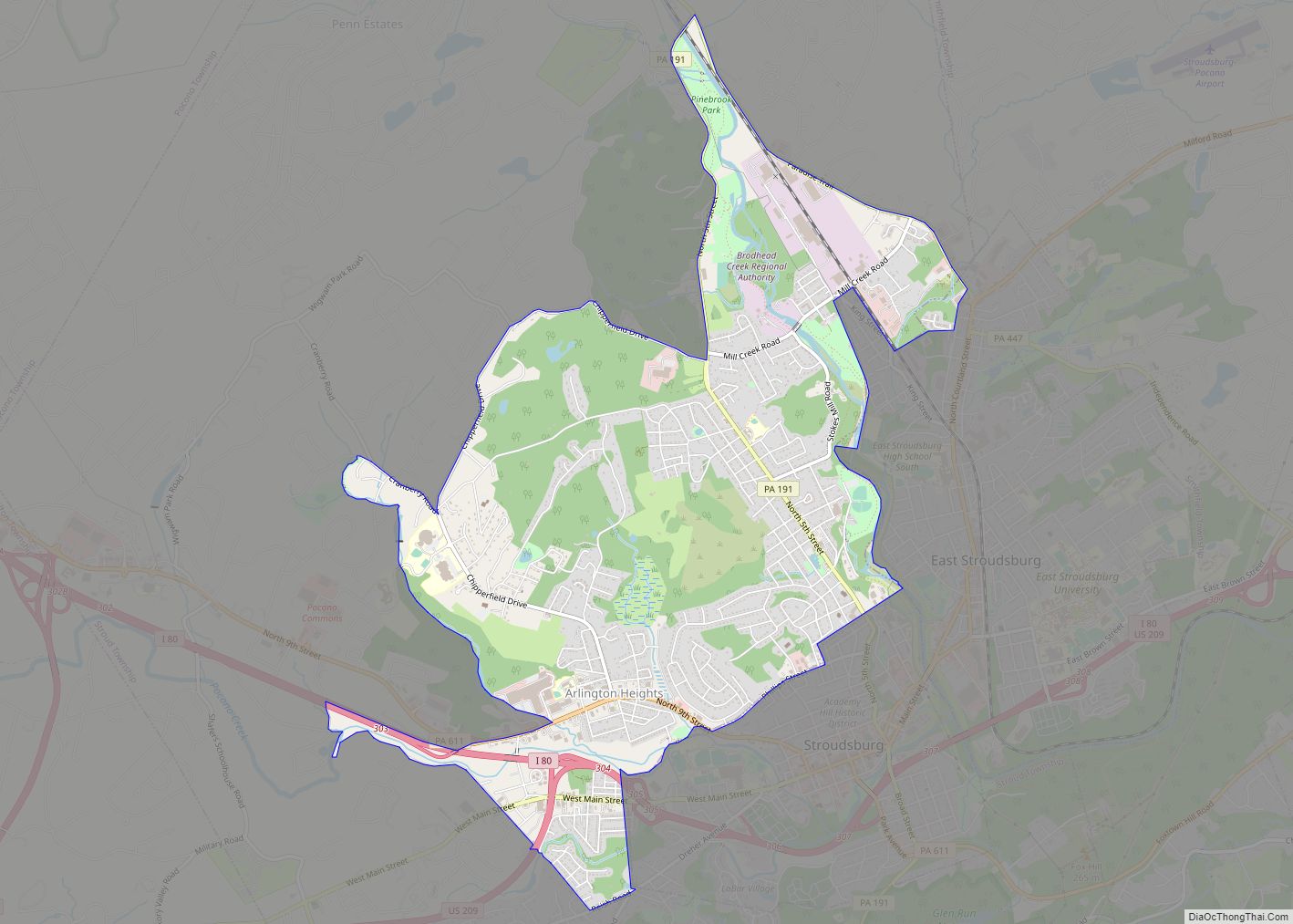
Arlington Heights is a census-designated place (CDP) in Monroe County, Pennsylvania, United States. The population was 6,331 at the 2020 census. One notable location in Arlington Heights is the Stroud Mall.
Arlington Heights is 38.7 miles (62.3 km) northeast of Allentown and 76.7 miles (123.4 km) northwest of New York City.
| Name: | Arlington Heights CDP |
|---|---|
| LSAD Code: | 57 |
| LSAD Description: | CDP (suffix) |
| State: | Pennsylvania |
| County: | Monroe County |
| Elevation: | 509 ft (155 m) |
| Total Area: | 5.32 sq mi (13.77 km²) |
| Land Area: | 5.31 sq mi (13.74 km²) |
| Water Area: | 0.01 sq mi (0.03 km²) |
| Total Population: | 6,331 |
| Population Density: | 1,193.18/sq mi (460.67/km²) |
| Area code: | 570 |
| FIPS code: | 4203008 |
Online Interactive Map
Click on ![]() to view map in "full screen" mode.
to view map in "full screen" mode.
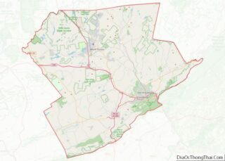
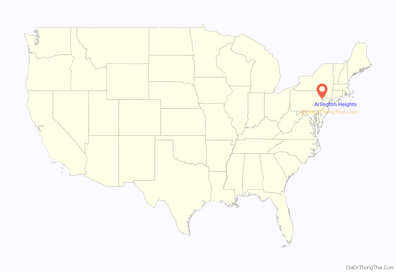
Arlington Heights location map. Where is Arlington Heights CDP?
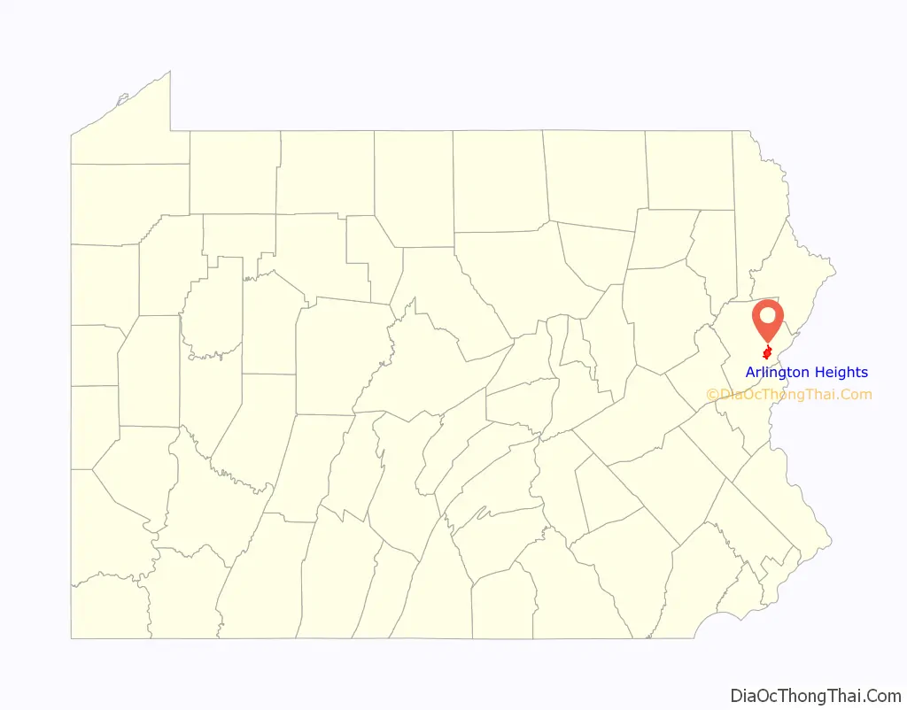
Arlington Heights Road Map
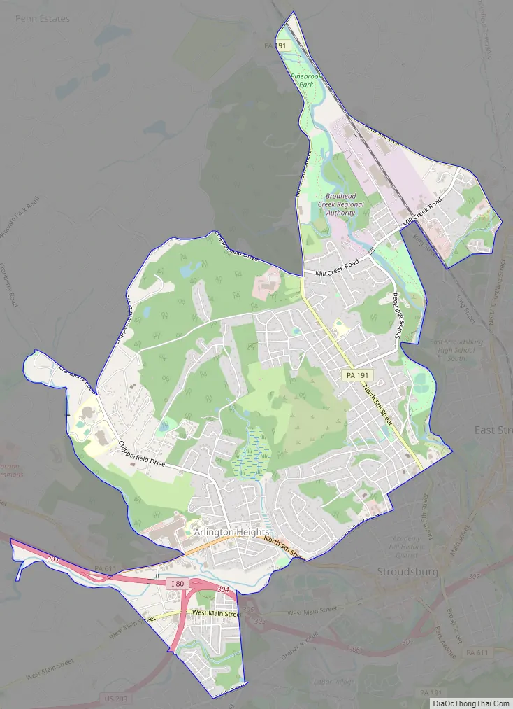
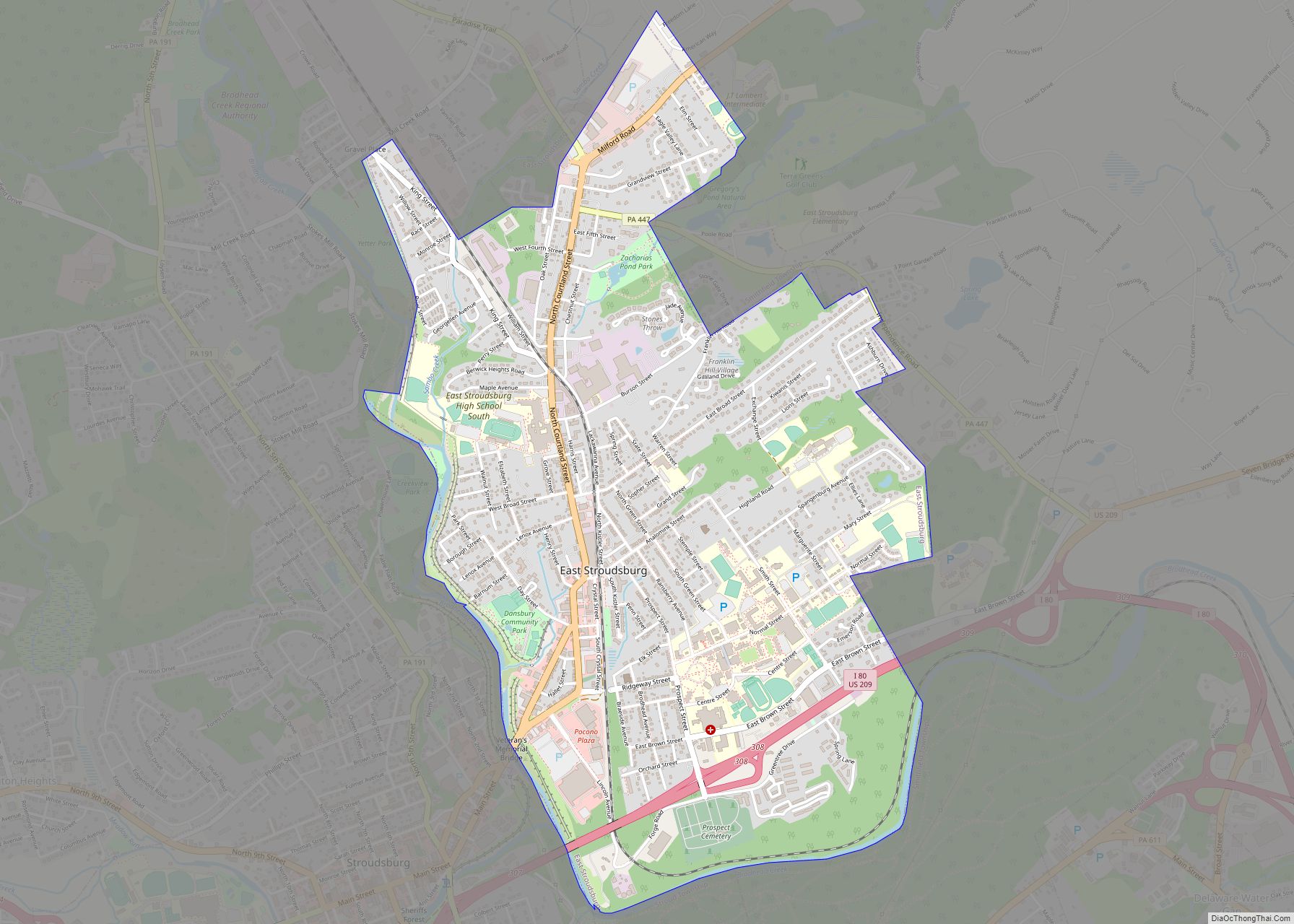
Arlington Heights city Satellite Map

Geography
Arlington Heights is located at 41°0′7″N 75°12′28″W / 41.00194°N 75.20778°W / 41.00194; -75.20778 (41.002024, -75.207766).
According to the United States Census Bureau, the CDP has a total area of 5.3 square miles (14 km), of which 5.3 square miles (14 km) is land and 0.04 square miles (0.10 km) (0.38%) is water.
Arlington Heights is served by exit 303 on Interstate 80. PA 611 serves as the main thoroughfare in the community.
See also
Map of Pennsylvania State and its subdivision:- Adams
- Allegheny
- Armstrong
- Beaver
- Bedford
- Berks
- Blair
- Bradford
- Bucks
- Butler
- Cambria
- Cameron
- Carbon
- Centre
- Chester
- Clarion
- Clearfield
- Clinton
- Columbia
- Crawford
- Cumberland
- Dauphin
- Delaware
- Elk
- Erie
- Fayette
- Forest
- Franklin
- Fulton
- Greene
- Huntingdon
- Indiana
- Jefferson
- Juniata
- Lackawanna
- Lancaster
- Lawrence
- Lebanon
- Lehigh
- Luzerne
- Lycoming
- Mc Kean
- Mercer
- Mifflin
- Monroe
- Montgomery
- Montour
- Northampton
- Northumberland
- Perry
- Philadelphia
- Pike
- Potter
- Schuylkill
- Snyder
- Somerset
- Sullivan
- Susquehanna
- Tioga
- Union
- Venango
- Warren
- Washington
- Wayne
- Westmoreland
- Wyoming
- York
- Alabama
- Alaska
- Arizona
- Arkansas
- California
- Colorado
- Connecticut
- Delaware
- District of Columbia
- Florida
- Georgia
- Hawaii
- Idaho
- Illinois
- Indiana
- Iowa
- Kansas
- Kentucky
- Louisiana
- Maine
- Maryland
- Massachusetts
- Michigan
- Minnesota
- Mississippi
- Missouri
- Montana
- Nebraska
- Nevada
- New Hampshire
- New Jersey
- New Mexico
- New York
- North Carolina
- North Dakota
- Ohio
- Oklahoma
- Oregon
- Pennsylvania
- Rhode Island
- South Carolina
- South Dakota
- Tennessee
- Texas
- Utah
- Vermont
- Virginia
- Washington
- West Virginia
- Wisconsin
- Wyoming