Armagh is a borough in Indiana County in the U.S. state of Pennsylvania. The population was 103 at the 2020 census.
| Name: | Armagh borough |
|---|---|
| LSAD Code: | 21 |
| LSAD Description: | borough (suffix) |
| State: | Pennsylvania |
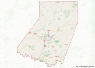
| County: | Indiana County |
| Incorporated: | 1824 |
| Total Area: | 0.06 sq mi (0.15 km²) |
| Land Area: | 0.06 sq mi (0.15 km²) |
| Water Area: | 0.00 sq mi (0.00 km²) |
| Total Population: | 102 |
| Population Density: | 1,789.47/sq mi (686.19/km²) |
| FIPS code: | 4203032 |
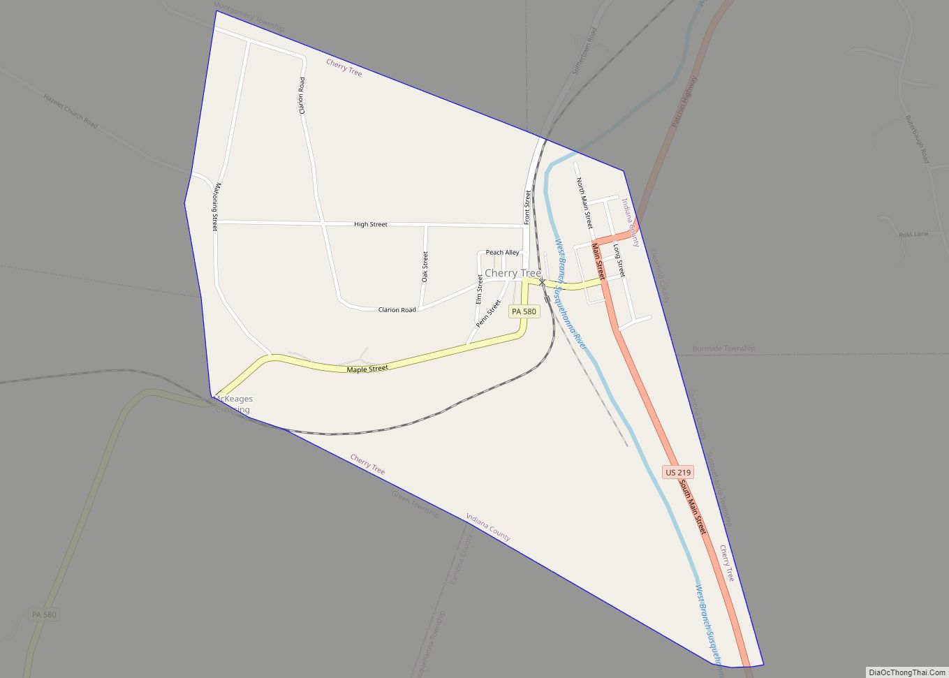
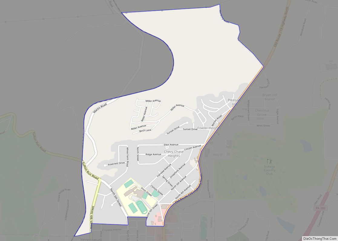
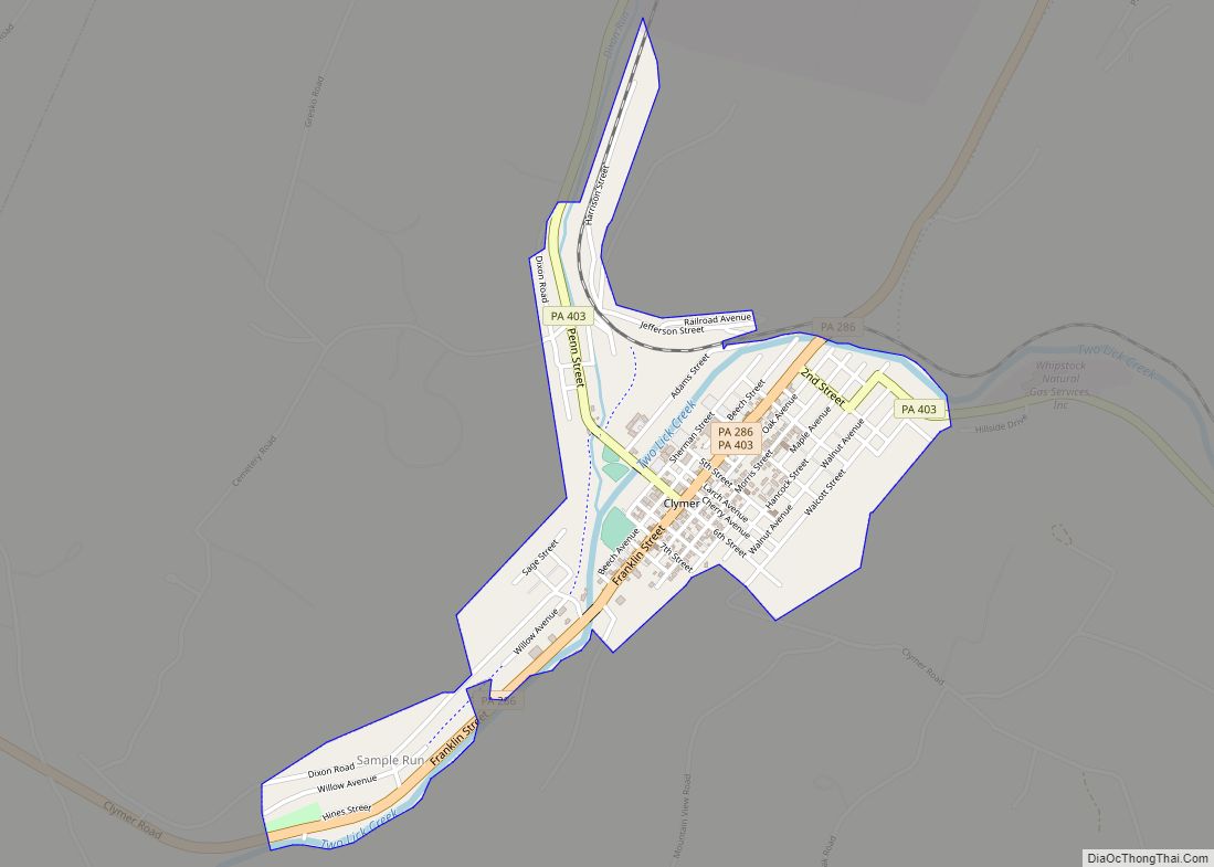
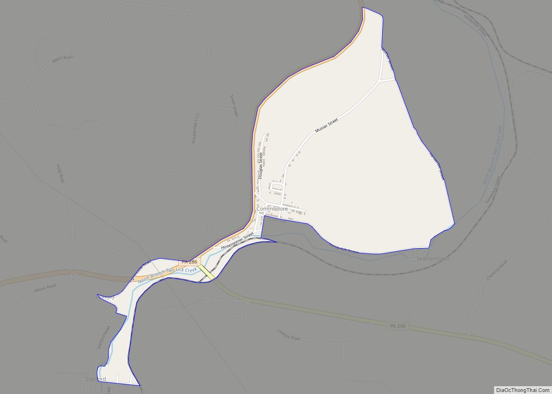
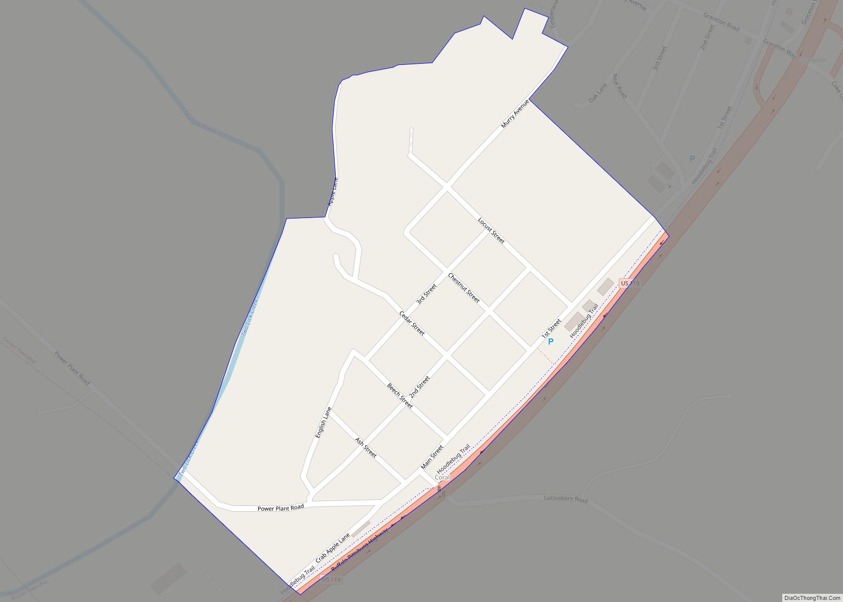
Online Interactive Map
Click on ![]() to view map in "full screen" mode.
to view map in "full screen" mode.
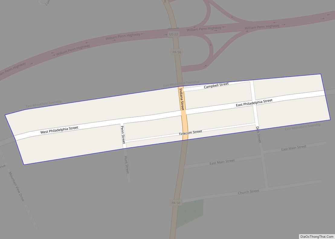
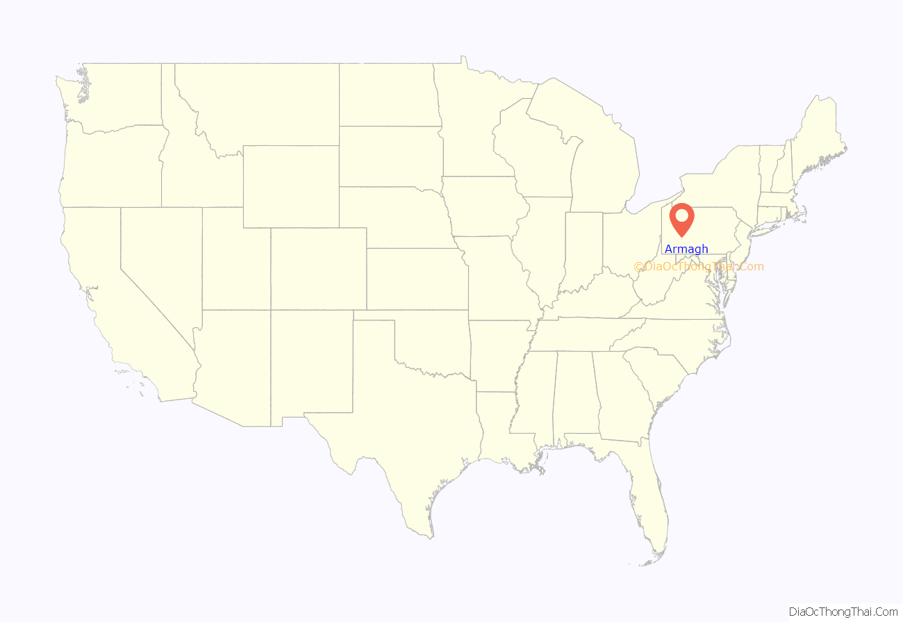
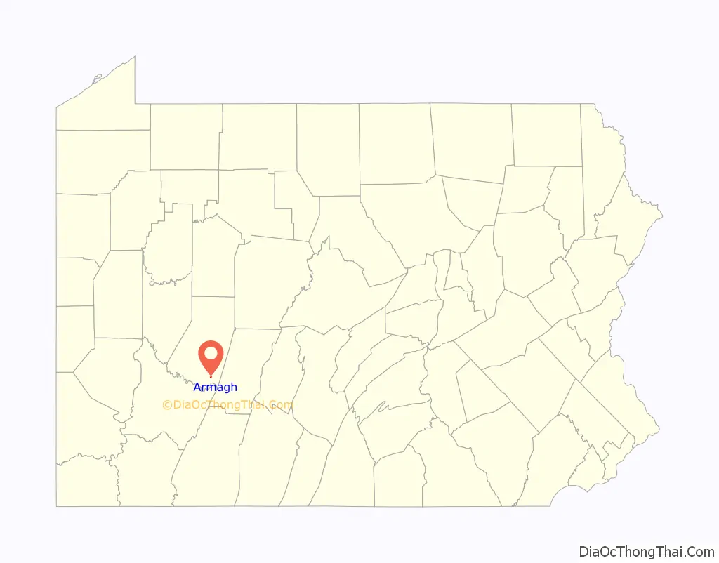
Armagh location map. Where is Armagh borough?
History
Armagh is the oldest community in Indiana County, having been founded in 1792 by eight families led by James and Margaret Jane Graham from Northern Ireland. The community was named after the Irish city and county of Armagh, which was the hometown of some of the settlers. Its first school began in 1799, using a log cabin, and in 1805, it established the county’s first post office.
Many of the original settlers were Presbyterian. The Wheatfield Presbyterian Church, later known simply as the Armagh Presbyterian Church, was started in 1786. The Rev. George Hill, its first minister, was installed in 1792, and was shared with churches in Fairfield and Donegal. In 1820, the congregation built a log church and in 1835-6 replaced it with a white frame church. Another Presbyterian church was built in 1905 in Seward, approximately three miles south. The two congregations merged in 1963. The Armagh church building was destroyed in 2004 after being hit by a truck.
The community became a borough on April 10, 1824, having previously been part of East Wheatfield Township. The borough was the birthplace of pioneer American labor leader William H. Sylvis in 1828. Armagh was described in the 1940 Pennsylvania guide as being “settled in 1792 by Irish immigrants, who found the hillside bare except for a few scrubby oaks; hence the name. In stagecoach days Armagh had almost as many taverns as it has houses today.”
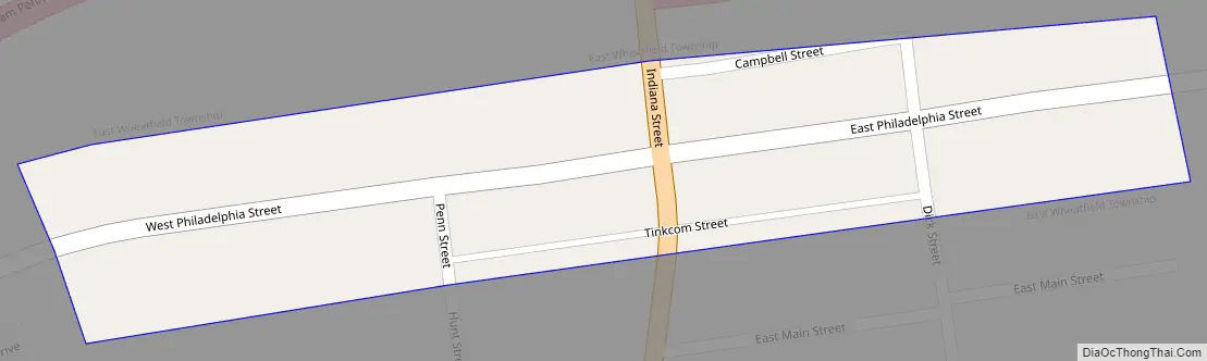
Armagh Road Map
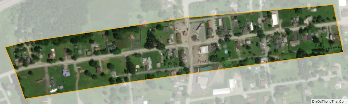
Armagh city Satellite Map
Geography
Armagh is located at 40°27′13″N 79°1′50″W / 40.45361°N 79.03056°W / 40.45361; -79.03056 (40.453549, -79.030500).
According to the United States Census Bureau, the borough has a total area of 0.1 square miles (0.3 km), all land.
See also
Map of Pennsylvania State and its subdivision:- Adams
- Allegheny
- Armstrong
- Beaver
- Bedford
- Berks
- Blair
- Bradford
- Bucks
- Butler
- Cambria
- Cameron
- Carbon
- Centre
- Chester
- Clarion
- Clearfield
- Clinton
- Columbia
- Crawford
- Cumberland
- Dauphin
- Delaware
- Elk
- Erie
- Fayette
- Forest
- Franklin
- Fulton
- Greene
- Huntingdon
- Indiana
- Jefferson
- Juniata
- Lackawanna
- Lancaster
- Lawrence
- Lebanon
- Lehigh
- Luzerne
- Lycoming
- Mc Kean
- Mercer
- Mifflin
- Monroe
- Montgomery
- Montour
- Northampton
- Northumberland
- Perry
- Philadelphia
- Pike
- Potter
- Schuylkill
- Snyder
- Somerset
- Sullivan
- Susquehanna
- Tioga
- Union
- Venango
- Warren
- Washington
- Wayne
- Westmoreland
- Wyoming
- York
- Alabama
- Alaska
- Arizona
- Arkansas
- California
- Colorado
- Connecticut
- Delaware
- District of Columbia
- Florida
- Georgia
- Hawaii
- Idaho
- Illinois
- Indiana
- Iowa
- Kansas
- Kentucky
- Louisiana
- Maine
- Maryland
- Massachusetts
- Michigan
- Minnesota
- Mississippi
- Missouri
- Montana
- Nebraska
- Nevada
- New Hampshire
- New Jersey
- New Mexico
- New York
- North Carolina
- North Dakota
- Ohio
- Oklahoma
- Oregon
- Pennsylvania
- Rhode Island
- South Carolina
- South Dakota
- Tennessee
- Texas
- Utah
- Vermont
- Virginia
- Washington
- West Virginia
- Wisconsin
- Wyoming