Auburn is a borough in Schuylkill County, Pennsylvania, United States. The population was 663 at the 2020 census.
| Name: | Auburn borough |
|---|---|
| LSAD Code: | 21 |
| LSAD Description: | borough (suffix) |
| State: | Pennsylvania |
| County: | Schuylkill County |
| Incorporated: | 1857 |
| Elevation: | 479 ft (146 m) |
| Total Area: | 1.67 sq mi (4.34 km²) |
| Land Area: | 1.62 sq mi (4.20 km²) |
| Water Area: | 0.05 sq mi (0.13 km²) |
| Total Population: | 660 |
| Population Density: | 406.65/sq mi (156.97/km²) |
| ZIP code: | 17922 |
| FIPS code: | 4203488 |
Online Interactive Map
Click on ![]() to view map in "full screen" mode.
to view map in "full screen" mode.
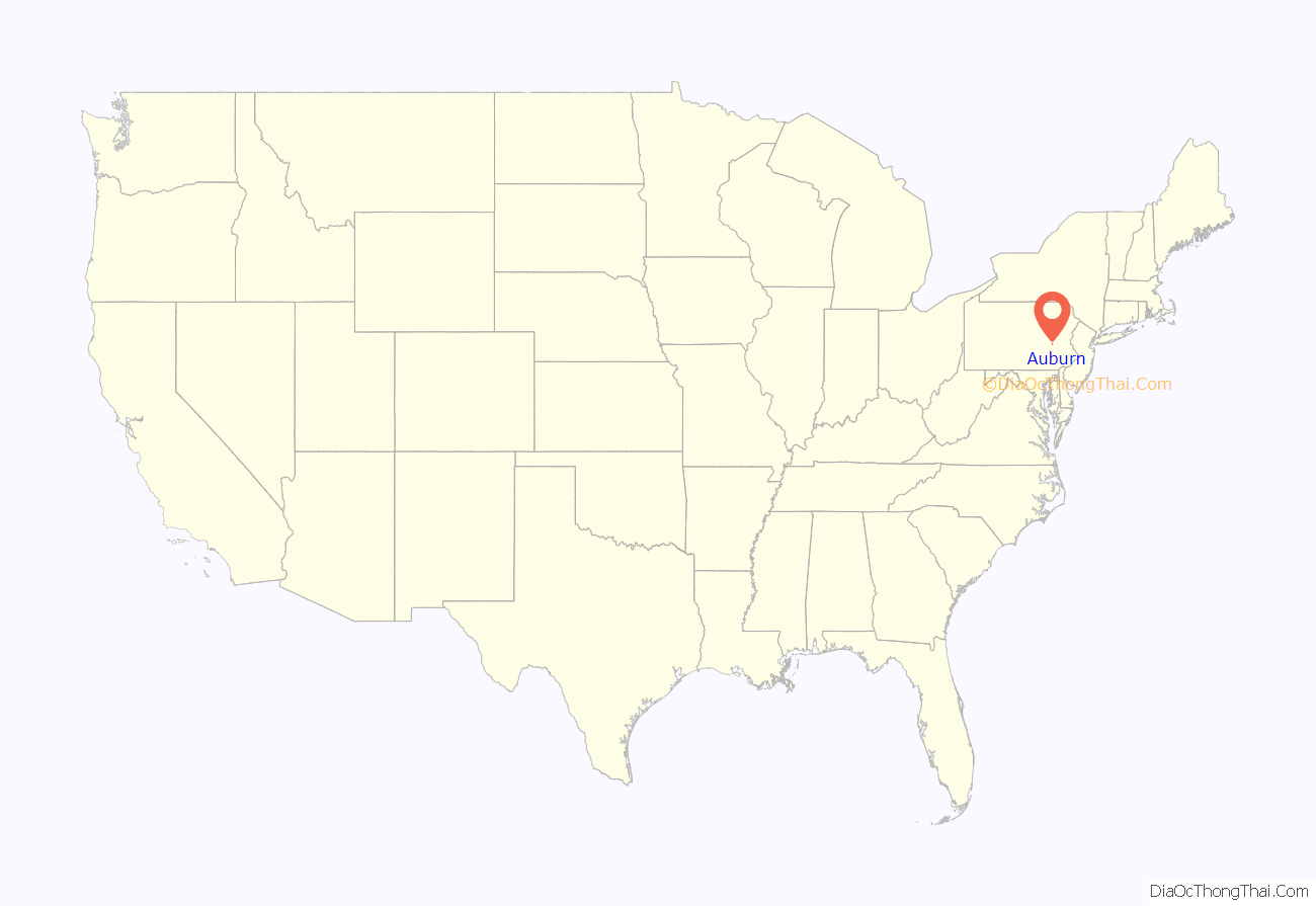
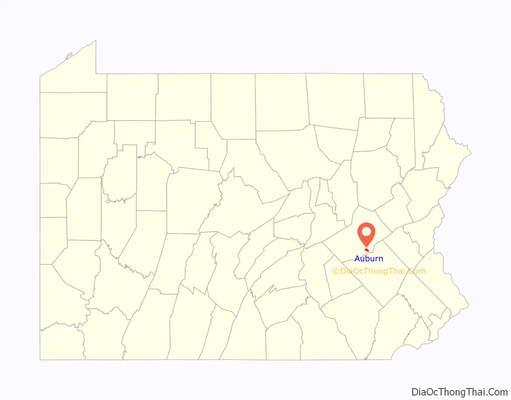
Auburn location map. Where is Auburn borough?
History
The area was historically known as the “Scotchman’s Lock”. The first house in what is today Auburn was built in the late 1830s by a boatman named Samuel Moyer, who also operated a store there. In 1842, the Philadelphia and Reading Railroad reached the area, at which point the area’s official name was changed to “Auburn”. The Susquehanna and Schuylkill Railroad reached Auburn in 1857. The first post office in Auburn was built in 1846 and the first school was set up in 1845.
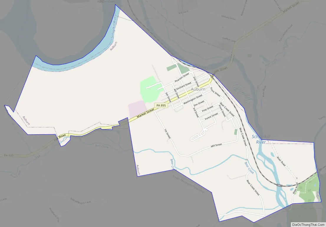
Auburn Road Map
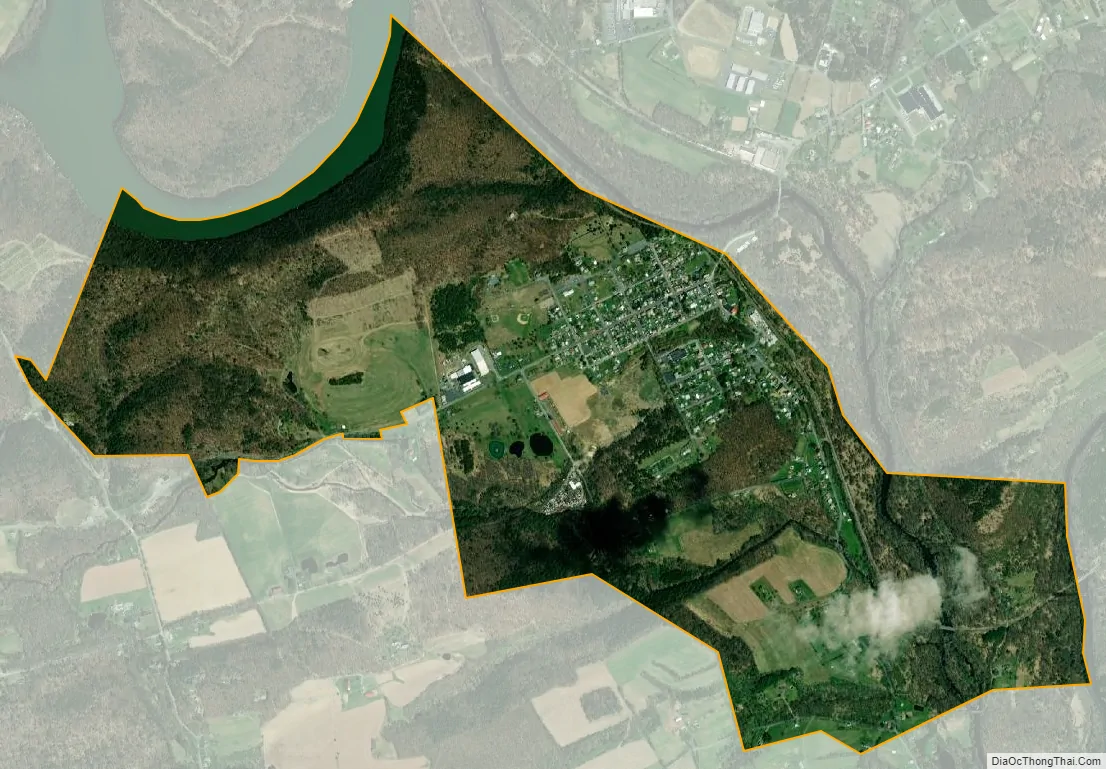
Auburn city Satellite Map
Geography
Auburn is located at 40°35′45″N 76°5′34″W / 40.59583°N 76.09278°W / 40.59583; -76.09278 (40.595715, -76.092642). According to the United States Census Bureau, the borough has a total area of 1.7 square miles (4.4 km), of which 1.7 square miles (4.4 km) is land and 0.60% is water.
The borough’s terrain is steeply hilly in the north and gently hilly in the south. Auburn’s land is mostly forest, with some residential and agricultural areas. The Schuylkill River runs through Auburn. The borough is served by Pennsylvania Route 895.
See also
Map of Pennsylvania State and its subdivision:- Adams
- Allegheny
- Armstrong
- Beaver
- Bedford
- Berks
- Blair
- Bradford
- Bucks
- Butler
- Cambria
- Cameron
- Carbon
- Centre
- Chester
- Clarion
- Clearfield
- Clinton
- Columbia
- Crawford
- Cumberland
- Dauphin
- Delaware
- Elk
- Erie
- Fayette
- Forest
- Franklin
- Fulton
- Greene
- Huntingdon
- Indiana
- Jefferson
- Juniata
- Lackawanna
- Lancaster
- Lawrence
- Lebanon
- Lehigh
- Luzerne
- Lycoming
- Mc Kean
- Mercer
- Mifflin
- Monroe
- Montgomery
- Montour
- Northampton
- Northumberland
- Perry
- Philadelphia
- Pike
- Potter
- Schuylkill
- Snyder
- Somerset
- Sullivan
- Susquehanna
- Tioga
- Union
- Venango
- Warren
- Washington
- Wayne
- Westmoreland
- Wyoming
- York
- Alabama
- Alaska
- Arizona
- Arkansas
- California
- Colorado
- Connecticut
- Delaware
- District of Columbia
- Florida
- Georgia
- Hawaii
- Idaho
- Illinois
- Indiana
- Iowa
- Kansas
- Kentucky
- Louisiana
- Maine
- Maryland
- Massachusetts
- Michigan
- Minnesota
- Mississippi
- Missouri
- Montana
- Nebraska
- Nevada
- New Hampshire
- New Jersey
- New Mexico
- New York
- North Carolina
- North Dakota
- Ohio
- Oklahoma
- Oregon
- Pennsylvania
- Rhode Island
- South Carolina
- South Dakota
- Tennessee
- Texas
- Utah
- Vermont
- Virginia
- Washington
- West Virginia
- Wisconsin
- Wyoming


