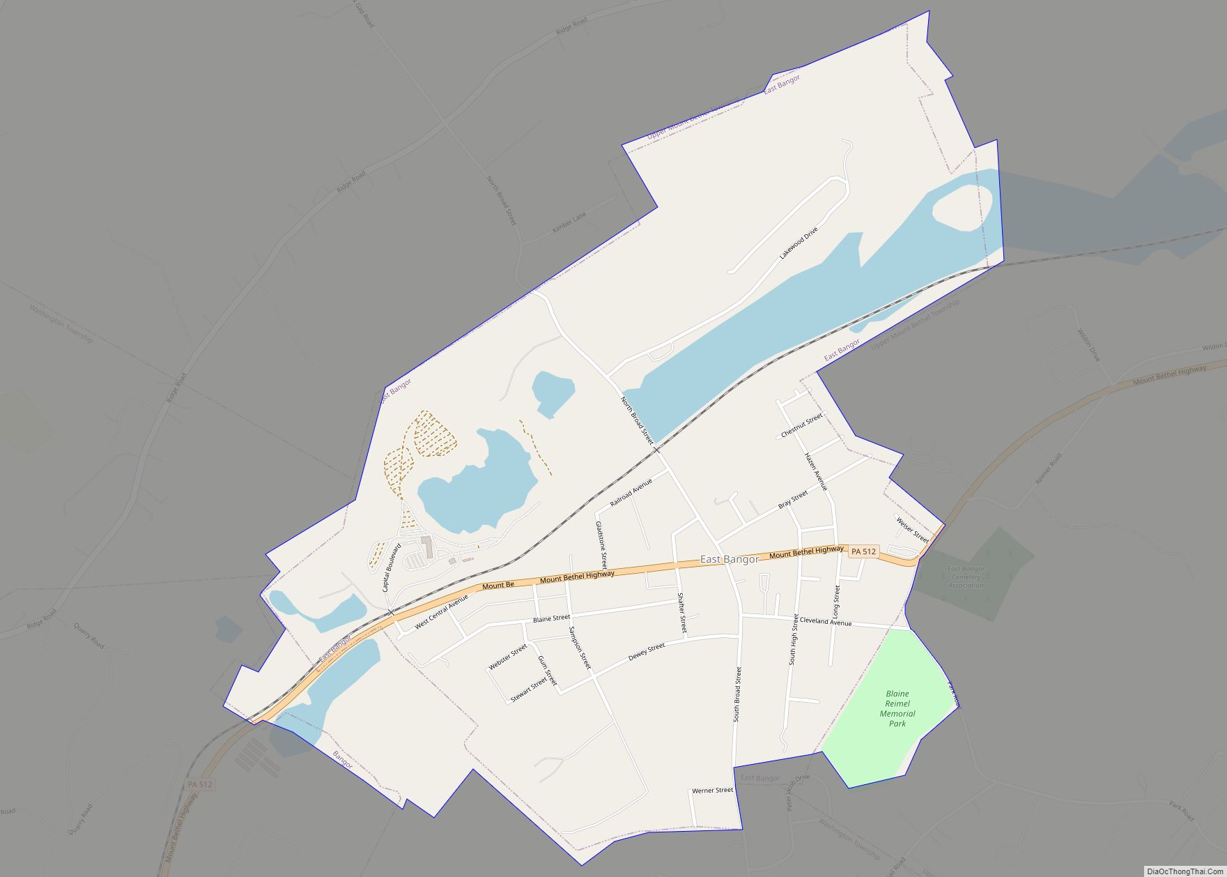
Bangor, or West Bangor, to differentiate it from its immediate neighbor East Bangor, is a borough located in Northampton County, Pennsylvania, United States. It is located 32 miles (51 km) north of Allentown. It had a population of 5,187 as of the 2020 census.
Bangor is part of the Lehigh Valley metropolitan area, which had a population of 861,899 and was the 68th-most populous metropolitan area in the U.S. as of the 2020 census.
| Name: | Bangor borough |
|---|---|
| LSAD Code: | 21 |
| LSAD Description: | borough (suffix) |
| State: | Pennsylvania |
| County: | Northampton County |
| Incorporated: | 1875 |
| Elevation: | 541 ft (165 m) |
| Land Area: | 1.49 sq mi (3.86 km²) |
| Water Area: | 0.03 sq mi (0.09 km²) |
| Population Density: | 3,476.54/sq mi (1,342.44/km²) |
| Area code: | 610 |
| FIPS code: | 4204032 |
| Website: | bangorborough.org |
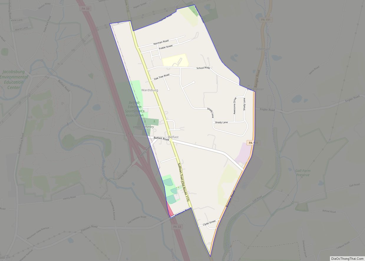
Online Interactive Map
Click on ![]() to view map in "full screen" mode.
to view map in "full screen" mode.
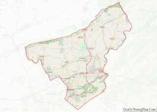
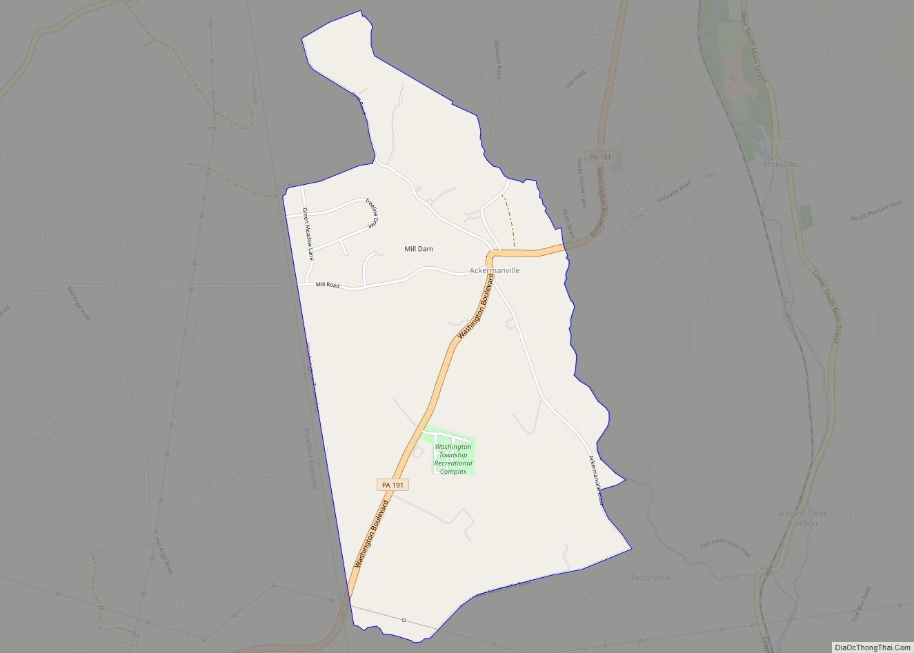
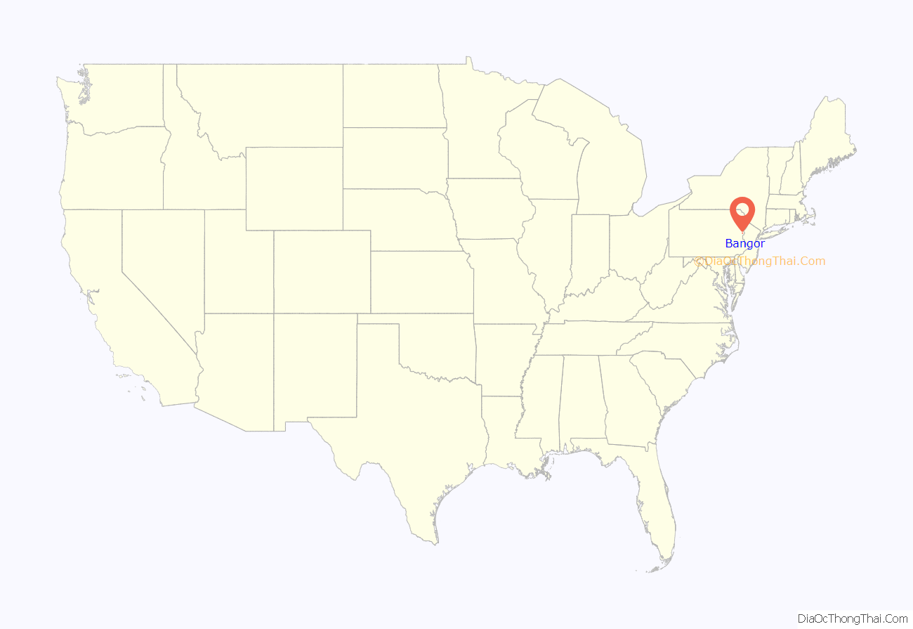
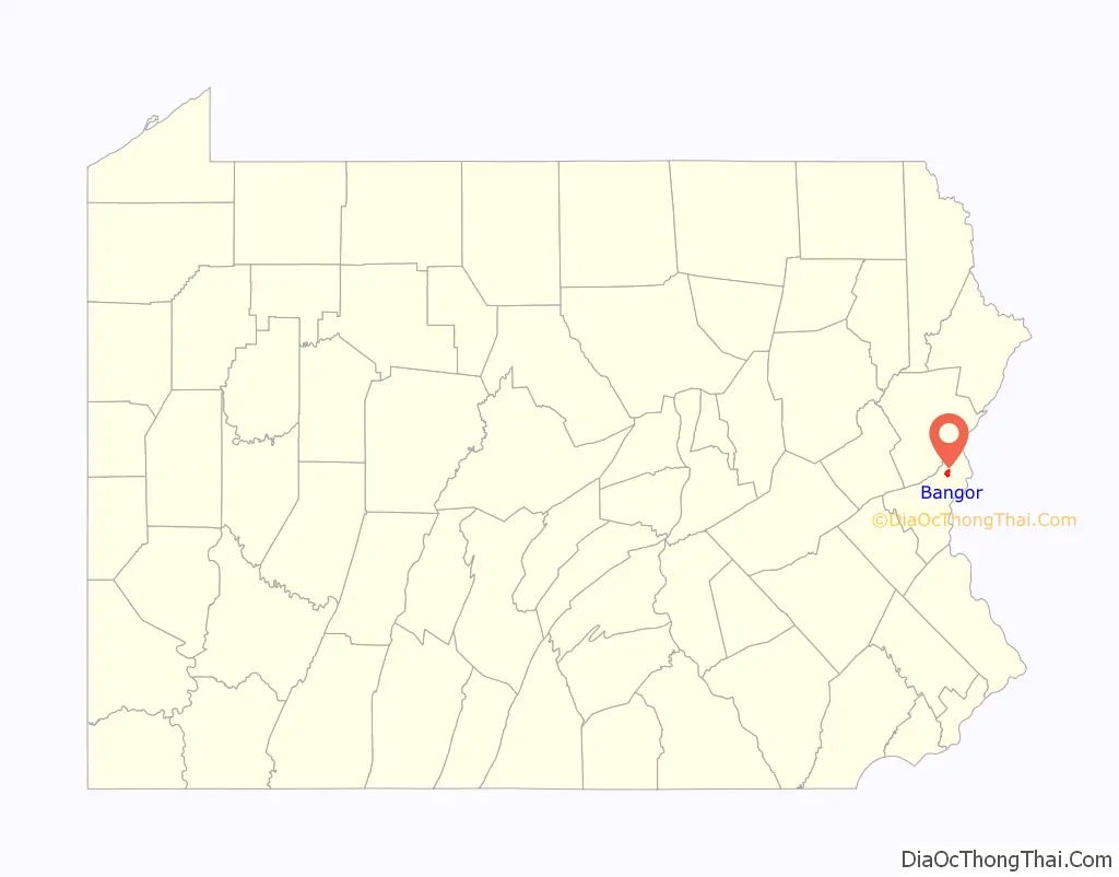
Bangor location map. Where is Bangor borough?
History
The borough was settled about 1760 and first incorporated in 1875. The founder and first Chief Burgess of Bangor was Robert M. Jones, an emigrant from Bangor, Wales. He was the prime mover in the establishment of the slate industry in Northampton County. Slate quarries pepper the area, but only a few are still functioning. A life-sized statue of him, dedicated on September 24, 1914, remains in the town center. The influence of Bangor, Wales is visible in the stone walls, square gardens, and flowers, and greenery that mirror those of its Welsh namesake. Also like Bangor, Wales, Bangor, Pennsylvania has piles of slate residue and shale reminiscent of the area.
The population of Bangor was 2,509 in 1890; 4,106 in 1900; 5,369 in 1910; 5,687 in 1940; and 5,187 at the 2020 census. The Bridge in Bangor Borough and Real Estate Building are listed on the National Register of Historic Places.
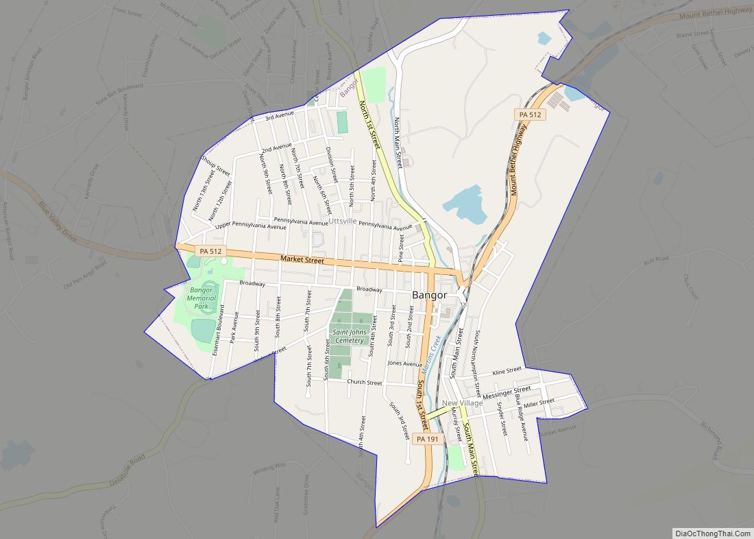
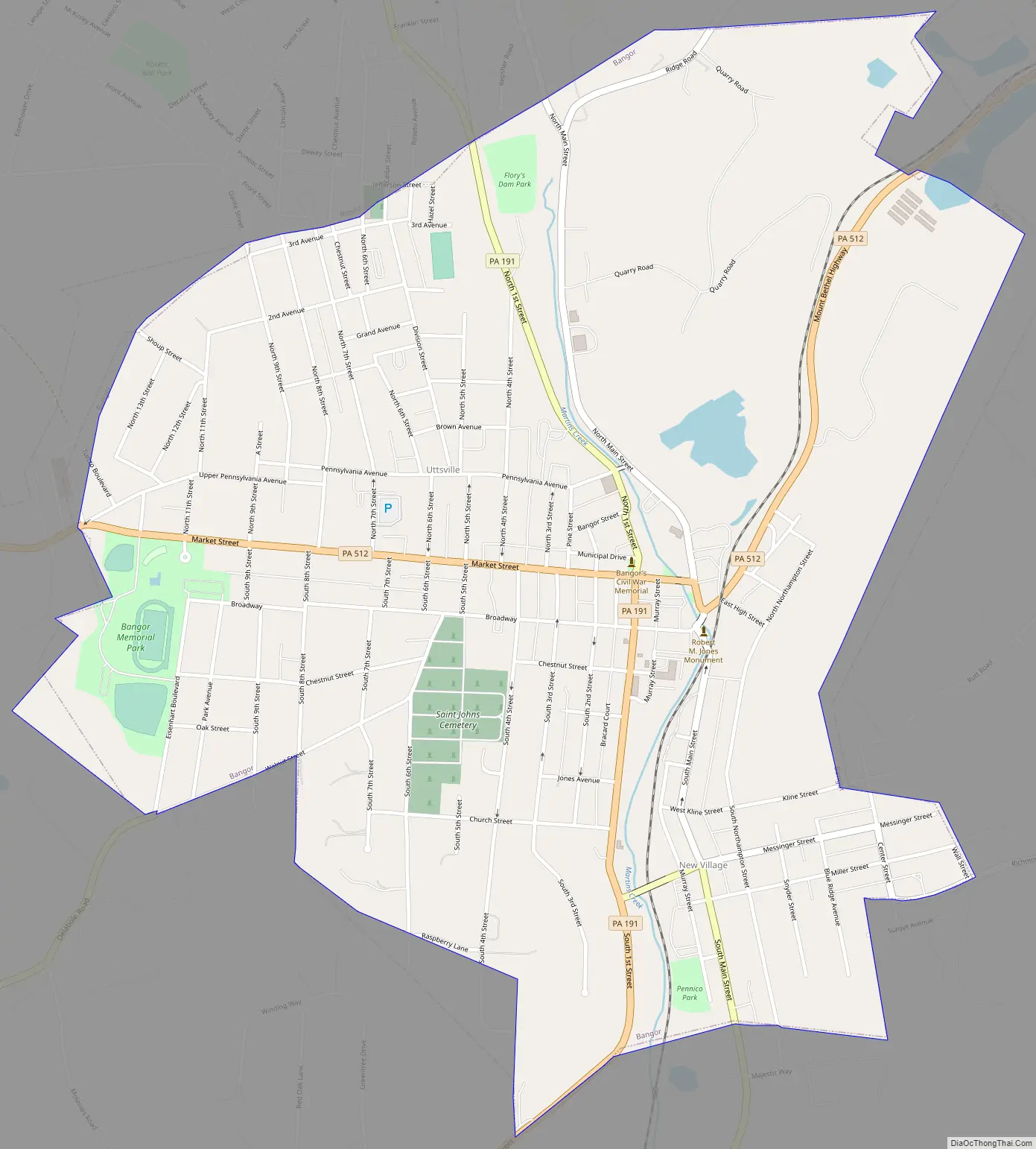
Bangor Road Map
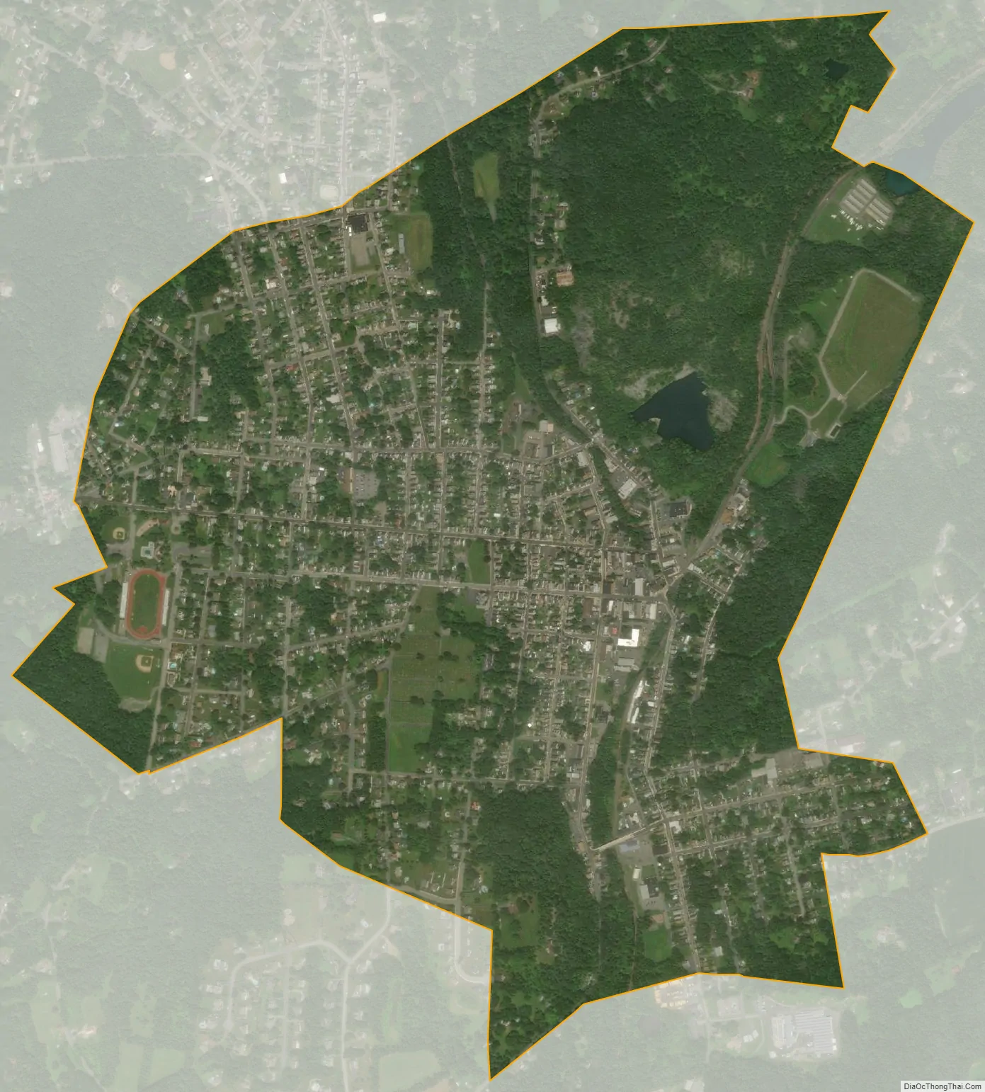
Bangor city Satellite Map
Geography
Bangor is located at 40°52′0″N 75°12′39″W / 40.86667°N 75.21083°W / 40.86667; -75.21083 (40.866749, -75.210759). According to the U.S. Census Bureau, the borough has a total area of 1.6 square miles (4.1 km), of which 1.5 square miles (3.9 km) is land and 0.04 square miles (0.10 km) (1.28%) is water.
See also
Map of Pennsylvania State and its subdivision:- Adams
- Allegheny
- Armstrong
- Beaver
- Bedford
- Berks
- Blair
- Bradford
- Bucks
- Butler
- Cambria
- Cameron
- Carbon
- Centre
- Chester
- Clarion
- Clearfield
- Clinton
- Columbia
- Crawford
- Cumberland
- Dauphin
- Delaware
- Elk
- Erie
- Fayette
- Forest
- Franklin
- Fulton
- Greene
- Huntingdon
- Indiana
- Jefferson
- Juniata
- Lackawanna
- Lancaster
- Lawrence
- Lebanon
- Lehigh
- Luzerne
- Lycoming
- Mc Kean
- Mercer
- Mifflin
- Monroe
- Montgomery
- Montour
- Northampton
- Northumberland
- Perry
- Philadelphia
- Pike
- Potter
- Schuylkill
- Snyder
- Somerset
- Sullivan
- Susquehanna
- Tioga
- Union
- Venango
- Warren
- Washington
- Wayne
- Westmoreland
- Wyoming
- York
- Alabama
- Alaska
- Arizona
- Arkansas
- California
- Colorado
- Connecticut
- Delaware
- District of Columbia
- Florida
- Georgia
- Hawaii
- Idaho
- Illinois
- Indiana
- Iowa
- Kansas
- Kentucky
- Louisiana
- Maine
- Maryland
- Massachusetts
- Michigan
- Minnesota
- Mississippi
- Missouri
- Montana
- Nebraska
- Nevada
- New Hampshire
- New Jersey
- New Mexico
- New York
- North Carolina
- North Dakota
- Ohio
- Oklahoma
- Oregon
- Pennsylvania
- Rhode Island
- South Carolina
- South Dakota
- Tennessee
- Texas
- Utah
- Vermont
- Virginia
- Washington
- West Virginia
- Wisconsin
- Wyoming