Bath is a borough in Northampton County, Pennsylvania. As of the 2020 census, Bath had a population of 2,808. It is part of the Lehigh Valley metropolitan area, which had a population of 861,899 and was the 68th-most populous metropolitan area in the U.S. as of the 2020 census.
| Name: | Bath borough |
|---|---|
| LSAD Code: | 21 |
| LSAD Description: | borough (suffix) |
| State: | Pennsylvania |
| County: | Northampton County |
| Founded: | 1737 |
| Elevation: | 432 ft (132 m) |
| Land Area: | 0.90 sq mi (2.34 km²) |
| Water Area: | 0.01 sq mi (0.02 km²) |
| Population Density: | 2,947/sq mi (1,138/km²) |
| ZIP code: | 18014 |
| Area code: | 610 and 484 |
| FIPS code: | 4204432 |
Online Interactive Map
Click on ![]() to view map in "full screen" mode.
to view map in "full screen" mode.
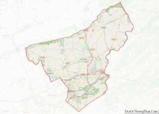
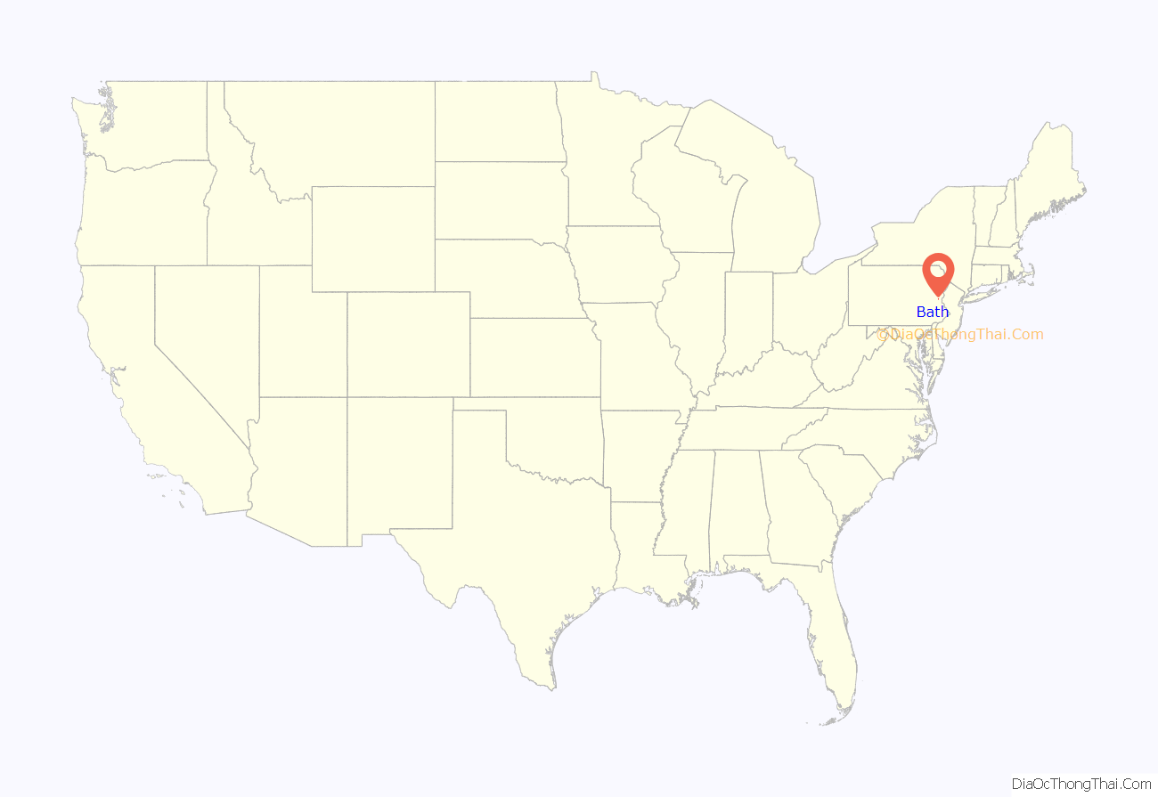
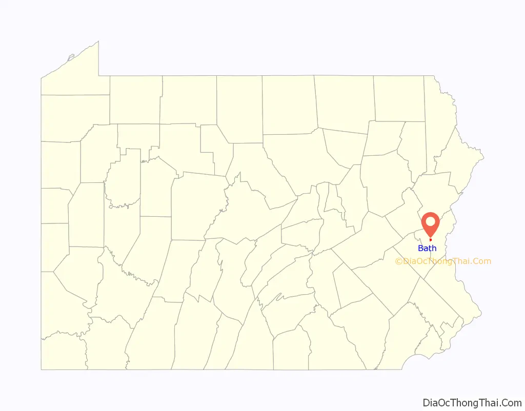
Bath location map. Where is Bath borough?
History
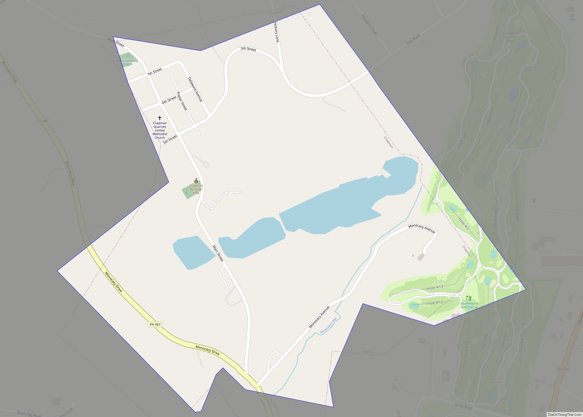
Bath is located at the head of the Monocacy Creek in an area of the Lehigh Valley that was once rich in agriculture. The greater area of the town, however, lies east of the Monocacy Valley.
Bath is Lenapehoking (Lenni-Lenape) land.
Bath was established in 1728 as a Scotch-Irish settlement before the American Revolution as the first settlement by white people in the Forks of the Delaware River. It is named for Bath, Somerset, England by Margaret DeLancey, who sold land under her father, lieutenant colonel of the Continental Army, William Allen, in the 1700s.
On March 3, 1737, the 247 acres of land that is currently inside the boundaries of Bath was purchased and surveyed for Daniel Craig. According to borough historians, this land spans from Chestnut Street to the north of Northampton Street. William Allen conveyed the greater part of Bath’s land to his son, Andrew, in 1776, the same year that the Second Continental Congress in Philadelphia signed the Declaration of Independence, declaring its freedom from British colonial governance. That same year, Andrew Allen sold 150 acres of the land to John Lattimore. Andrew Allen also owned land west of the Monocacy, which was eventually confiscated and sold to local families in the area. Today, Bath’s current acreage is 576 acres and is less than 1 sq. mi. in area.
Southeast of the town, a French and Indian War blockhouse was constructed to fortify the area from potential attacks. It was named Fort Ralston after the name of the farmer whose land it was built on. It is alternatively known as Brown’s Fort, after the adjacent landowner. It was established as a fort in 1755, but likely abandoned by the end of the 1760s. Its ruins still remain in a small field south of a warehouse at the intersection of Airport Road and Nor-Bath Blvd.
On August 18, 2012, Bath celebrated its 275th anniversary. In 1999, the Bath Business and Community Partnership (BBCP) was established for managing urban revitalization initiatives, including creating a greener town, organizing volunteers, and developing economic restructuring/asset enhancement.
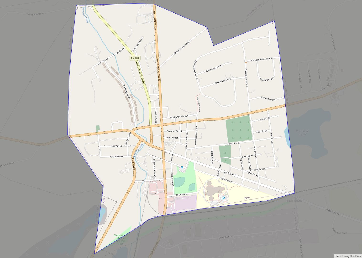
Bath Road Map
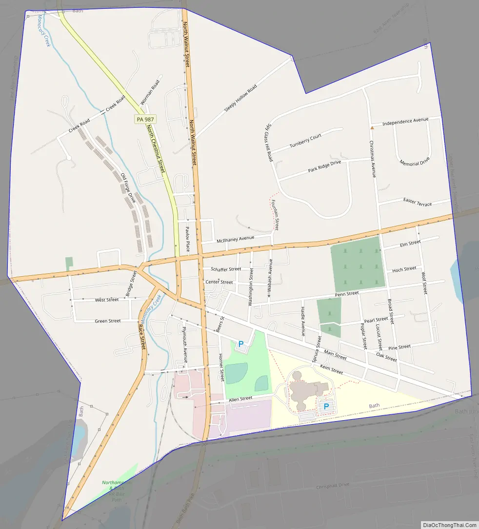
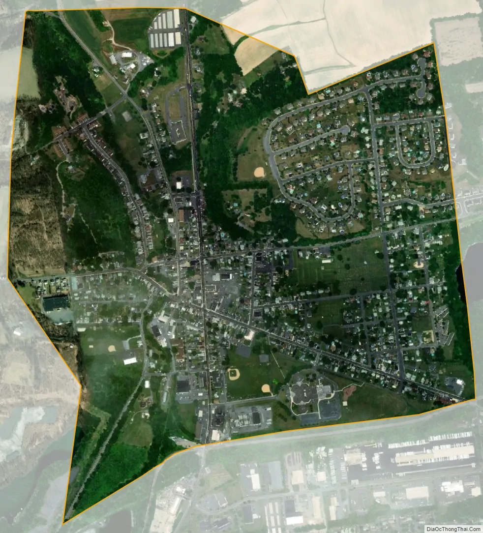
Bath city Satellite Map
Geography
Bath is located at 40°43′36″N 75°23′25″W / 40.72667°N 75.39028°W / 40.72667; -75.39028 (40.726556, -75.390338). According to the U.S. Census Bureau, the borough has a total area of 0.9 square miles (2.3 km), all land. Bath is located 6 miles (9.7 km) north of Bethlehem and 4 miles (6.4 km) west of Nazareth.
Bath is also 100 miles (160 km) southwest of New York City and 60 miles (96 km) northwest of Philadelphia. It is also located near Wind Gap as well as the Delaware and Lehigh water gaps. Bath’s elevation is 432 feet (132 m) above sea level as of 2011. Monocacy Creek, a tributary of the Lehigh River, flows through the town’s center. A small park around the creek is located between Main and Northampton streets. Many mills have been built using the creek’s water in millraces.
See also
Map of Pennsylvania State and its subdivision:- Adams
- Allegheny
- Armstrong
- Beaver
- Bedford
- Berks
- Blair
- Bradford
- Bucks
- Butler
- Cambria
- Cameron
- Carbon
- Centre
- Chester
- Clarion
- Clearfield
- Clinton
- Columbia
- Crawford
- Cumberland
- Dauphin
- Delaware
- Elk
- Erie
- Fayette
- Forest
- Franklin
- Fulton
- Greene
- Huntingdon
- Indiana
- Jefferson
- Juniata
- Lackawanna
- Lancaster
- Lawrence
- Lebanon
- Lehigh
- Luzerne
- Lycoming
- Mc Kean
- Mercer
- Mifflin
- Monroe
- Montgomery
- Montour
- Northampton
- Northumberland
- Perry
- Philadelphia
- Pike
- Potter
- Schuylkill
- Snyder
- Somerset
- Sullivan
- Susquehanna
- Tioga
- Union
- Venango
- Warren
- Washington
- Wayne
- Westmoreland
- Wyoming
- York
- Alabama
- Alaska
- Arizona
- Arkansas
- California
- Colorado
- Connecticut
- Delaware
- District of Columbia
- Florida
- Georgia
- Hawaii
- Idaho
- Illinois
- Indiana
- Iowa
- Kansas
- Kentucky
- Louisiana
- Maine
- Maryland
- Massachusetts
- Michigan
- Minnesota
- Mississippi
- Missouri
- Montana
- Nebraska
- Nevada
- New Hampshire
- New Jersey
- New Mexico
- New York
- North Carolina
- North Dakota
- Ohio
- Oklahoma
- Oregon
- Pennsylvania
- Rhode Island
- South Carolina
- South Dakota
- Tennessee
- Texas
- Utah
- Vermont
- Virginia
- Washington
- West Virginia
- Wisconsin
- Wyoming