Bear Creek Village is a borough in Luzerne County, Pennsylvania, United States. The population was 290 at the 2020 census.
| Name: | Bear Creek Village borough |
|---|---|
| LSAD Code: | 21 |
| LSAD Description: | borough (suffix) |
| State: | Pennsylvania |
| County: | Luzerne County |
| Incorporated: | 1993 |
| Elevation: | 1,522 ft (464 m) |
| Total Area: | 1.99 sq mi (5.16 km²) |
| Land Area: | 1.90 sq mi (4.91 km²) |
| Water Area: | 0.10 sq mi (0.25 km²) |
| Total Population: | 291 |
| Population Density: | 153.48/sq mi (59.26/km²) |
| Area code: | 570 |
| FIPS code: | 4204599 |
Online Interactive Map
Click on ![]() to view map in "full screen" mode.
to view map in "full screen" mode.
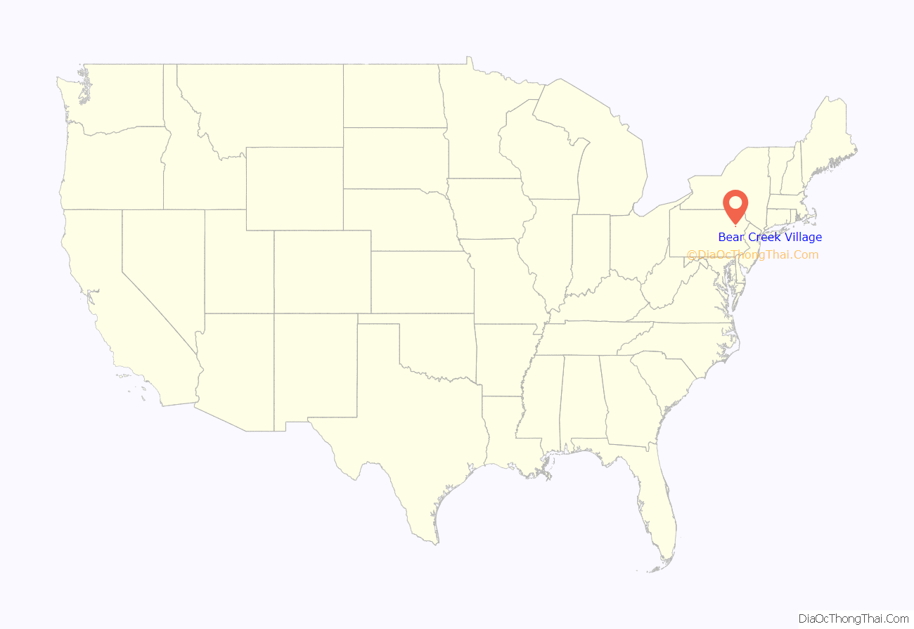
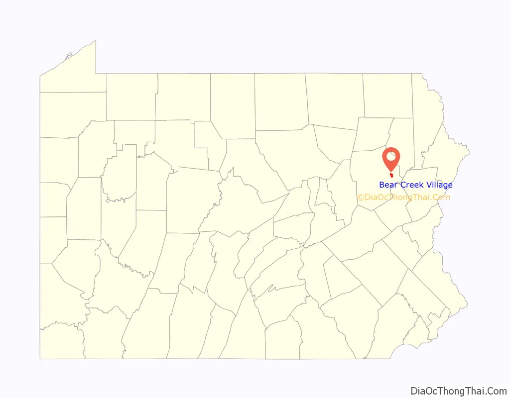
Bear Creek Village location map. Where is Bear Creek Village borough?
History
Bear Creek was first settled in the 1770s. On August 25, 1993, the village broke away from Bear Creek Township and became a borough. The Bear Creek Village Historic District was added to the National Register of Historic Places in 1999.
Front of Lewis Mansion
Former store on White Haven Road
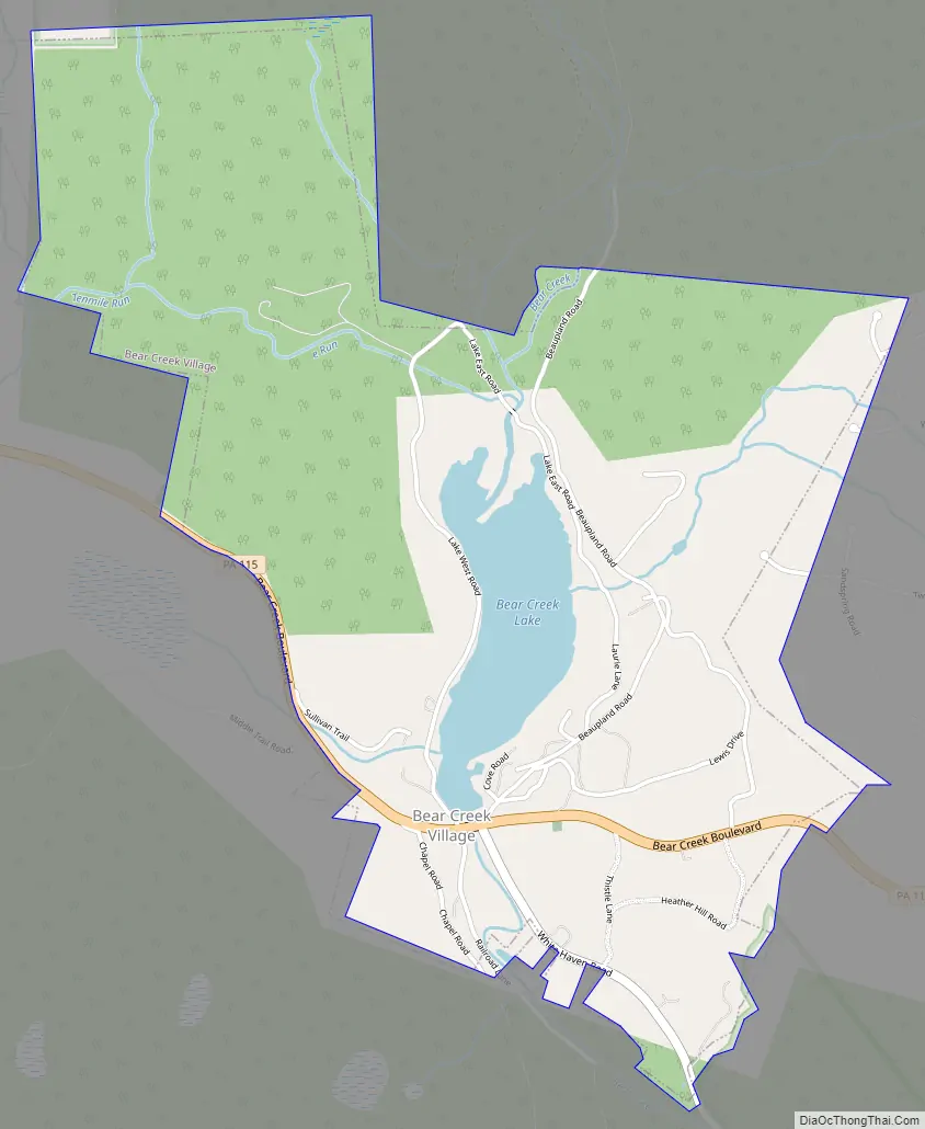
Bear Creek Village Road Map
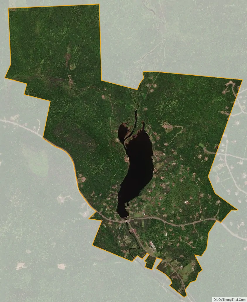
Bear Creek Village city Satellite Map
Geography
Bear Creek Village is located at 41°10′54″N 75°45′11″W / 41.18167°N 75.75306°W / 41.18167; -75.75306 (41.181794, -75.752985).
According to the United States Census Bureau, the borough has a total area of 2.0 square miles (5.3 km), of which 1.9 square miles (5.0 km) is land and 0.12 square miles (0.3 km), or 4.84%, is water.
See also
Map of Pennsylvania State and its subdivision:- Adams
- Allegheny
- Armstrong
- Beaver
- Bedford
- Berks
- Blair
- Bradford
- Bucks
- Butler
- Cambria
- Cameron
- Carbon
- Centre
- Chester
- Clarion
- Clearfield
- Clinton
- Columbia
- Crawford
- Cumberland
- Dauphin
- Delaware
- Elk
- Erie
- Fayette
- Forest
- Franklin
- Fulton
- Greene
- Huntingdon
- Indiana
- Jefferson
- Juniata
- Lackawanna
- Lancaster
- Lawrence
- Lebanon
- Lehigh
- Luzerne
- Lycoming
- Mc Kean
- Mercer
- Mifflin
- Monroe
- Montgomery
- Montour
- Northampton
- Northumberland
- Perry
- Philadelphia
- Pike
- Potter
- Schuylkill
- Snyder
- Somerset
- Sullivan
- Susquehanna
- Tioga
- Union
- Venango
- Warren
- Washington
- Wayne
- Westmoreland
- Wyoming
- York
- Alabama
- Alaska
- Arizona
- Arkansas
- California
- Colorado
- Connecticut
- Delaware
- District of Columbia
- Florida
- Georgia
- Hawaii
- Idaho
- Illinois
- Indiana
- Iowa
- Kansas
- Kentucky
- Louisiana
- Maine
- Maryland
- Massachusetts
- Michigan
- Minnesota
- Mississippi
- Missouri
- Montana
- Nebraska
- Nevada
- New Hampshire
- New Jersey
- New Mexico
- New York
- North Carolina
- North Dakota
- Ohio
- Oklahoma
- Oregon
- Pennsylvania
- Rhode Island
- South Carolina
- South Dakota
- Tennessee
- Texas
- Utah
- Vermont
- Virginia
- Washington
- West Virginia
- Wisconsin
- Wyoming


