Avoca is a borough within the Greater Pittston area of Luzerne County, Pennsylvania, United States. It is located 7.5 miles (12.1 km) northeast of Wilkes Barre and 3.4 miles (5.5 km) southwest of Scranton. The population was 2,501 at the time of the 2020 census. The Wilkes-Barre/Scranton International Airport (AVP) is located near Avoca (in Pittston Township).
| Name: | Avoca borough |
|---|---|
| LSAD Code: | 21 |
| LSAD Description: | borough (suffix) |
| State: | Pennsylvania |
| County: | Luzerne County |
| Incorporated: | 1871 |
| Elevation: | 735 ft (224 m) |
| Total Area: | 1.02 sq mi (2.64 km²) |
| Land Area: | 1.02 sq mi (2.64 km²) |
| Water Area: | 0.00 sq mi (0.00 km²) |
| Total Population: | 2,507 |
| Population Density: | 2,457.84/sq mi (948.62/km²) |
| Area code: | 570 |
| FIPS code: | 4203640 |
Online Interactive Map
Click on ![]() to view map in "full screen" mode.
to view map in "full screen" mode.
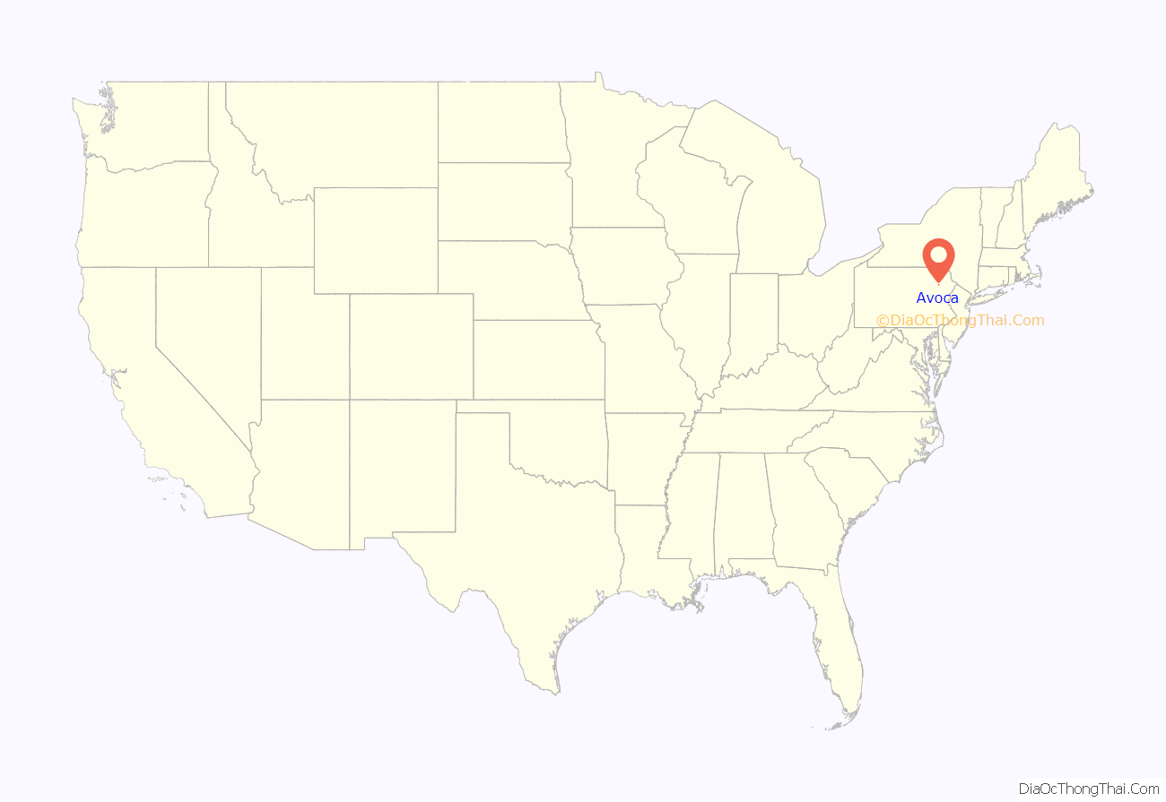
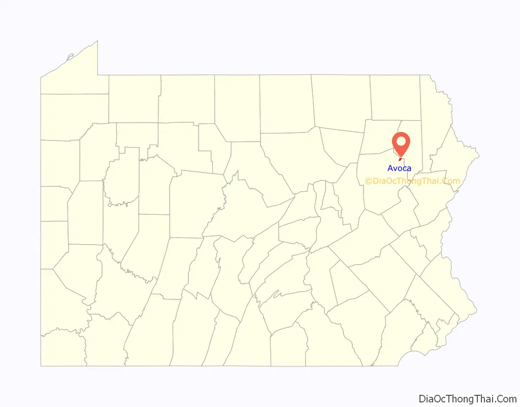
Avoca location map. Where is Avoca borough?
History
The community was incorporated as a borough in 1871. Its original name was “Pleasant Valley.” However, in 1887, it changed its name to “Avoca,” because the name “Pleasant Valley” was already used elsewhere in the Commonwealth of Pennsylvania. It was named after Avoca, County Wicklow, in Ireland. The following year, on October 10, 1888, the borough suffered a major tragedy when dozens of its own residents were killed in a train wreck known as the Mud Run Disaster. It occurred at 8:02 p.m., when two trains collided in Kidder Township, Carbon County, Pennsylvania. A majority of the 64 killed were from Avoca. The other casualties were from Scranton, Moosic and other neighboring communities.
From 1945 to 1947, the Wilkes-Barre/Scranton International Airport was constructed in and around Avoca. A small portion of the airport was built in Avoca, while most of it was constructed in the neighboring Pittston Township. Coal mining was the chief industry in the borough for many decades. However, after the 1959 Knox Mine Disaster, the mining industry in the region collapsed.
Avoca Road Map
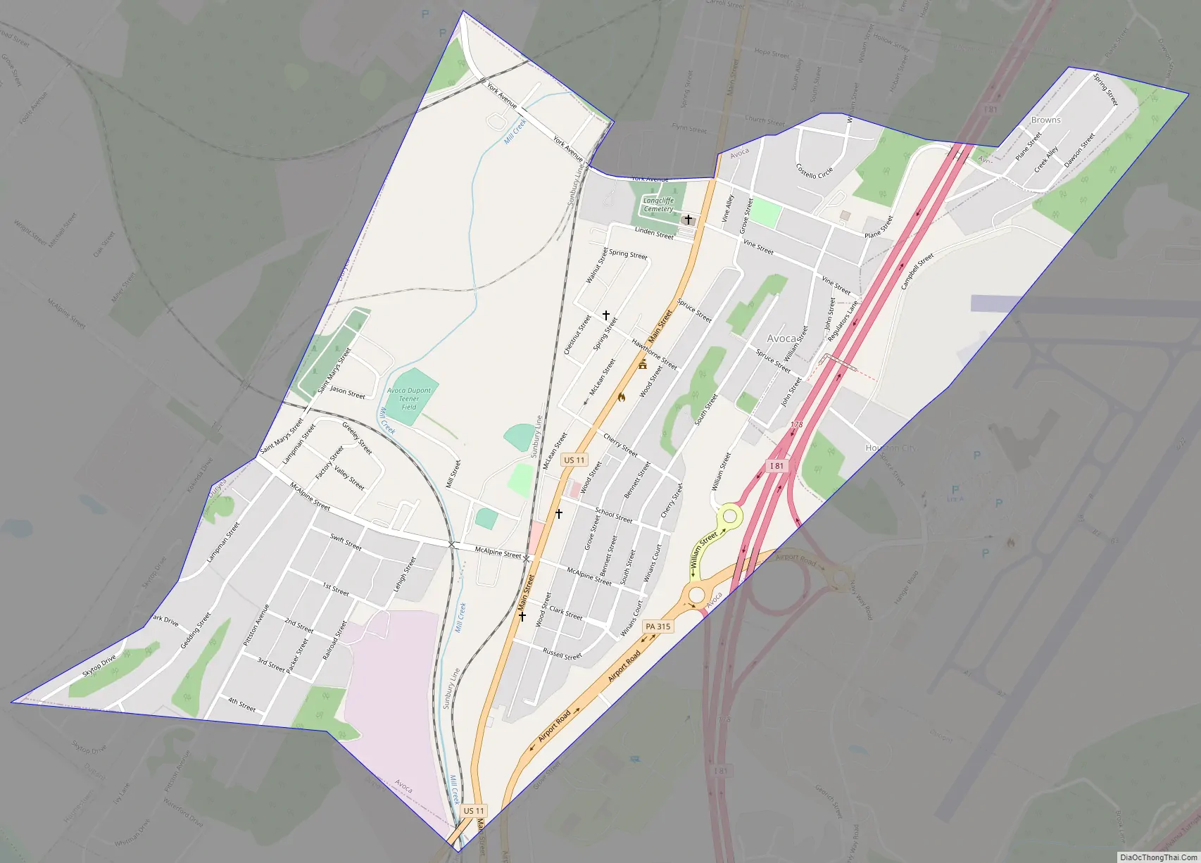
Avoca city Satellite Map

Geography
Avoca is located at 41°20′20″N 75°44′30″W / 41.33889°N 75.74167°W / 41.33889; -75.74167 (41.338925, -75.741805).
According to the United States Census Bureau, the borough has a total area of 0.9 square miles (2.3 km), all land. The borough is served by the Pittston Area School District.
See also
Map of Pennsylvania State and its subdivision:- Adams
- Allegheny
- Armstrong
- Beaver
- Bedford
- Berks
- Blair
- Bradford
- Bucks
- Butler
- Cambria
- Cameron
- Carbon
- Centre
- Chester
- Clarion
- Clearfield
- Clinton
- Columbia
- Crawford
- Cumberland
- Dauphin
- Delaware
- Elk
- Erie
- Fayette
- Forest
- Franklin
- Fulton
- Greene
- Huntingdon
- Indiana
- Jefferson
- Juniata
- Lackawanna
- Lancaster
- Lawrence
- Lebanon
- Lehigh
- Luzerne
- Lycoming
- Mc Kean
- Mercer
- Mifflin
- Monroe
- Montgomery
- Montour
- Northampton
- Northumberland
- Perry
- Philadelphia
- Pike
- Potter
- Schuylkill
- Snyder
- Somerset
- Sullivan
- Susquehanna
- Tioga
- Union
- Venango
- Warren
- Washington
- Wayne
- Westmoreland
- Wyoming
- York
- Alabama
- Alaska
- Arizona
- Arkansas
- California
- Colorado
- Connecticut
- Delaware
- District of Columbia
- Florida
- Georgia
- Hawaii
- Idaho
- Illinois
- Indiana
- Iowa
- Kansas
- Kentucky
- Louisiana
- Maine
- Maryland
- Massachusetts
- Michigan
- Minnesota
- Mississippi
- Missouri
- Montana
- Nebraska
- Nevada
- New Hampshire
- New Jersey
- New Mexico
- New York
- North Carolina
- North Dakota
- Ohio
- Oklahoma
- Oregon
- Pennsylvania
- Rhode Island
- South Carolina
- South Dakota
- Tennessee
- Texas
- Utah
- Vermont
- Virginia
- Washington
- West Virginia
- Wisconsin
- Wyoming


