Conyngham is a borough in Luzerne County, Pennsylvania, United States. The population was 1,820 at the 2020 census.
| Name: | Conyngham borough |
|---|---|
| LSAD Code: | 21 |
| LSAD Description: | borough (suffix) |
| State: | Pennsylvania |
| County: | Luzerne County |
| Incorporated: | 1921 |
| Elevation: | 1,014 ft (309 m) |
| Total Area: | 1.03 sq mi (2.66 km²) |
| Land Area: | 1.03 sq mi (2.66 km²) |
| Water Area: | 0.00 sq mi (0.00 km²) |
| Total Population: | 1,825 |
| Population Density: | 1,778.75/sq mi (687.08/km²) |
| Area code: | 570 |
| FIPS code: | 4215888 |
| Website: | www.conynghamborough.org |
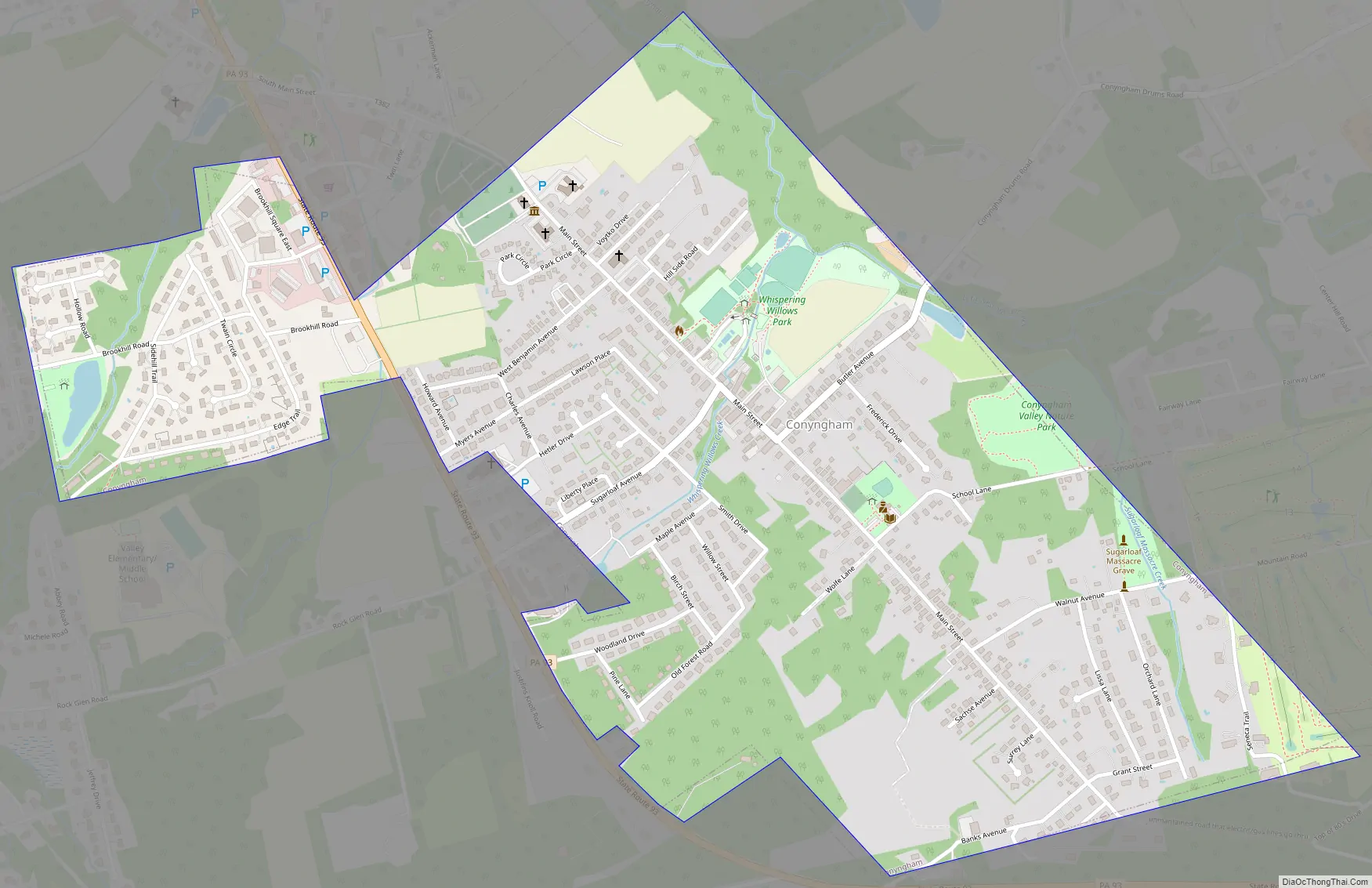
Online Interactive Map
Click on ![]() to view map in "full screen" mode.
to view map in "full screen" mode.
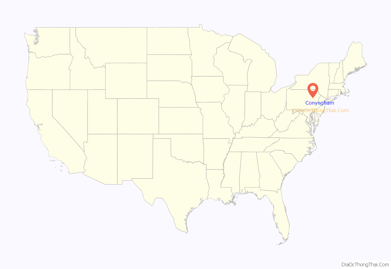
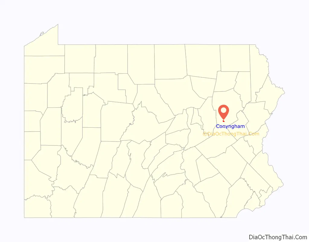
Conyngham location map. Where is Conyngham borough?
History
The first settler of Conyngham was George Drum (in the late 1700s) who served in the American Revolution and was elected justice of the peace in 1811. George Drum was an entrepreneurial businessman and was a large landowner who also owned the Drums Hotel, a shoe shop, tavern, and the Drums Post Office. He and his family developed the adjacent village of Drums, of which the village is named after the family, along with helping the development of Conyngham. Drums is a sister village to Conyngham. The George Drum residence remains standing in impeccable condition on Conyngham’s Main Street.
The Sugarloaf Massacre of September 11, 1780, was one of a series of bloody engagements fought in the frontier of northeastern Pennsylvania between Iroquois (allies of British troops) and settlers loyal to the cause of American independence. Today, this event is commemorated by a historic monument with a bronze plaque bearing the names of the fifteen men who lost their lives near modern-day Conyngham.
In 1815, Redmond Conyngham represented Luzerne County in the Pennsylvania House of Representatives. In 1820, he served a term in the State Senate. Captain Gustavus Conyngham was his cousin. He was an unsung hero of the Revolution. He commanded a privateer and was the first to carry the American flag in the English Channel. The townspeople suggested naming the village after Redmond Conyngham, but he replied that the town should be named in honor of his cousin, Gustavus, who frequently made trips to England to obtain military supplies for revolutionary colonists.
In the 1800s, the Lehigh-Susquehanna Turnpike traveled through the middle of modern-day Main Street in Conyngham. PA 93 was later constructed as another route through the town. It was not until 1921 when Conyngham became a borough.
Conyngham Road Map
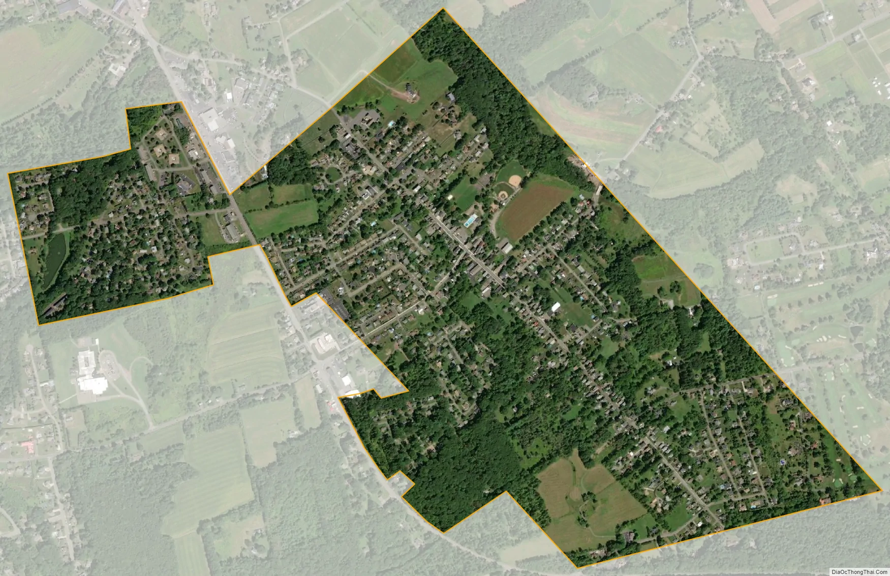
Conyngham city Satellite Map
Geography
Conyngham is located at 40°59′24″N 76°3′42″W / 40.99000°N 76.06167°W / 40.99000; -76.06167 (40.990051, -76.061655).
According to the United States Census Bureau, the borough has a total area of 1.0 square mile (2.6 km), all land. Sugarloaf Township encircles Conyngham. Pennsylvania Route 93 runs through the borough. Conyngham is located near Interstate 80 (to the north) and 81 (to the south and east).
Attractions
Conyngham has a town park called Whispering Willows. At the park, there is a community pool owned by the Conyngham Valley Civic Organization (CVCO). The Hazleton Area Library, Conyngham Branch, is also located nearby.
Restaurants
- The Brass Buckle Restaurant and Bar (built 1805) is located on Main Street and serves modern Mexican food
- Valley Pizza & Subs, known for their pizza and subs
- Vincenzo’s, known for their pizza and subs
- Toms Kitchen,( open for 48 years ) Known for homemade food in large portions at the right price.
See also
Map of Pennsylvania State and its subdivision:- Adams
- Allegheny
- Armstrong
- Beaver
- Bedford
- Berks
- Blair
- Bradford
- Bucks
- Butler
- Cambria
- Cameron
- Carbon
- Centre
- Chester
- Clarion
- Clearfield
- Clinton
- Columbia
- Crawford
- Cumberland
- Dauphin
- Delaware
- Elk
- Erie
- Fayette
- Forest
- Franklin
- Fulton
- Greene
- Huntingdon
- Indiana
- Jefferson
- Juniata
- Lackawanna
- Lancaster
- Lawrence
- Lebanon
- Lehigh
- Luzerne
- Lycoming
- Mc Kean
- Mercer
- Mifflin
- Monroe
- Montgomery
- Montour
- Northampton
- Northumberland
- Perry
- Philadelphia
- Pike
- Potter
- Schuylkill
- Snyder
- Somerset
- Sullivan
- Susquehanna
- Tioga
- Union
- Venango
- Warren
- Washington
- Wayne
- Westmoreland
- Wyoming
- York
- Alabama
- Alaska
- Arizona
- Arkansas
- California
- Colorado
- Connecticut
- Delaware
- District of Columbia
- Florida
- Georgia
- Hawaii
- Idaho
- Illinois
- Indiana
- Iowa
- Kansas
- Kentucky
- Louisiana
- Maine
- Maryland
- Massachusetts
- Michigan
- Minnesota
- Mississippi
- Missouri
- Montana
- Nebraska
- Nevada
- New Hampshire
- New Jersey
- New Mexico
- New York
- North Carolina
- North Dakota
- Ohio
- Oklahoma
- Oregon
- Pennsylvania
- Rhode Island
- South Carolina
- South Dakota
- Tennessee
- Texas
- Utah
- Vermont
- Virginia
- Washington
- West Virginia
- Wisconsin
- Wyoming


