Beech Mountain Lakes is a census-designated place (CDP) in Butler Township, Luzerne County, Pennsylvania, United States. The population was 2,022 at the 2010 census.
| Name: | Beech Mountain Lakes CDP |
|---|---|
| LSAD Code: | 57 |
| LSAD Description: | CDP (suffix) |
| State: | Pennsylvania |
| County: | Luzerne County |
| Total Area: | 1.78 sq mi (4.62 km²) |
| Land Area: | 1.55 sq mi (4.02 km²) |
| Water Area: | 0.23 sq mi (0.60 km²) |
| Total Population: | 2,157 |
| Population Density: | 1,388.92/sq mi (536.22/km²) |
| Area code: | 570 |
| FIPS code: | 4205028 |
Online Interactive Map
Click on ![]() to view map in "full screen" mode.
to view map in "full screen" mode.
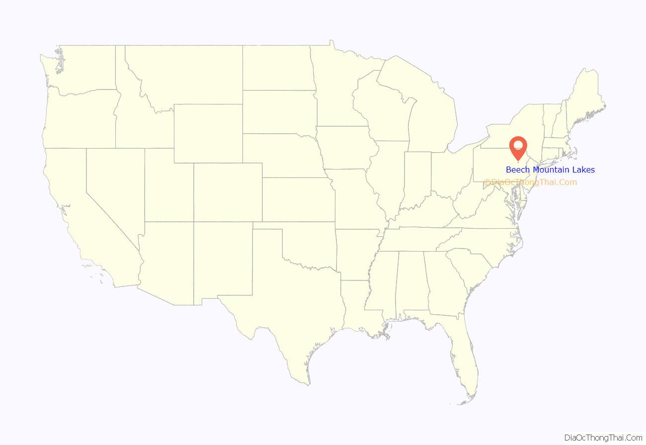
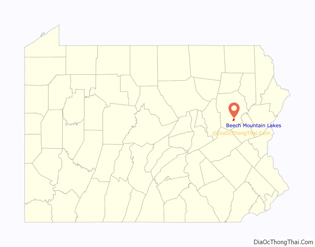
Beech Mountain Lakes location map. Where is Beech Mountain Lakes CDP?
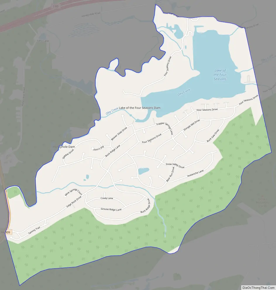
Beech Mountain Lakes Road Map
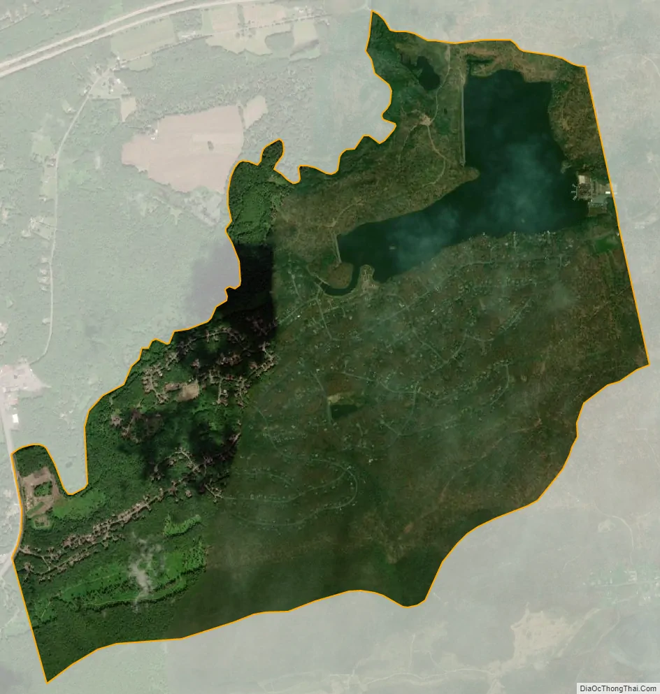
Beech Mountain Lakes city Satellite Map
Geography
According to the United States Census Bureau, the CDP has a total area of 2.4 square miles (6.2 km), of which 2.2 square miles (5.6 km) is land and 0.23 square miles (0.6 km), or 9.73%, is water. The CDP consists of a housing development adjacent to an artificial lake in the valley of Nescopeck Creek. I-80 passes just north of the CDP. Exit 262 on I-80 serves PA 309, which runs past the western edge of the CDP.
See also
Map of Pennsylvania State and its subdivision:- Adams
- Allegheny
- Armstrong
- Beaver
- Bedford
- Berks
- Blair
- Bradford
- Bucks
- Butler
- Cambria
- Cameron
- Carbon
- Centre
- Chester
- Clarion
- Clearfield
- Clinton
- Columbia
- Crawford
- Cumberland
- Dauphin
- Delaware
- Elk
- Erie
- Fayette
- Forest
- Franklin
- Fulton
- Greene
- Huntingdon
- Indiana
- Jefferson
- Juniata
- Lackawanna
- Lancaster
- Lawrence
- Lebanon
- Lehigh
- Luzerne
- Lycoming
- Mc Kean
- Mercer
- Mifflin
- Monroe
- Montgomery
- Montour
- Northampton
- Northumberland
- Perry
- Philadelphia
- Pike
- Potter
- Schuylkill
- Snyder
- Somerset
- Sullivan
- Susquehanna
- Tioga
- Union
- Venango
- Warren
- Washington
- Wayne
- Westmoreland
- Wyoming
- York
- Alabama
- Alaska
- Arizona
- Arkansas
- California
- Colorado
- Connecticut
- Delaware
- District of Columbia
- Florida
- Georgia
- Hawaii
- Idaho
- Illinois
- Indiana
- Iowa
- Kansas
- Kentucky
- Louisiana
- Maine
- Maryland
- Massachusetts
- Michigan
- Minnesota
- Mississippi
- Missouri
- Montana
- Nebraska
- Nevada
- New Hampshire
- New Jersey
- New Mexico
- New York
- North Carolina
- North Dakota
- Ohio
- Oklahoma
- Oregon
- Pennsylvania
- Rhode Island
- South Carolina
- South Dakota
- Tennessee
- Texas
- Utah
- Vermont
- Virginia
- Washington
- West Virginia
- Wisconsin
- Wyoming


