Berwyn is a census-designated place (CDP) in Chester County, Pennsylvania, United States. Berwyn is located within Tredyffrin and Easttown Townships. The area is part of the Philadelphia Main Line suburbs.
| Name: | Berwyn CDP |
|---|---|
| LSAD Code: | 57 |
| LSAD Description: | CDP (suffix) |
| State: | Pennsylvania |
| County: | Chester County |
| Elevation: | 520 ft (160 m) |
| Total Area: | 1.86 sq mi (4.83 km²) |
| Land Area: | 1.86 sq mi (4.82 km²) |
| Water Area: | 0.00 sq mi (0.01 km²) |
| Total Population: | 3,775 |
| Population Density: | 2,028.48/sq mi (783.28/km²) |
| ZIP code: | 19312 |
| FIPS code: | 4205904 |
| GNISfeature ID: | 1169323 |
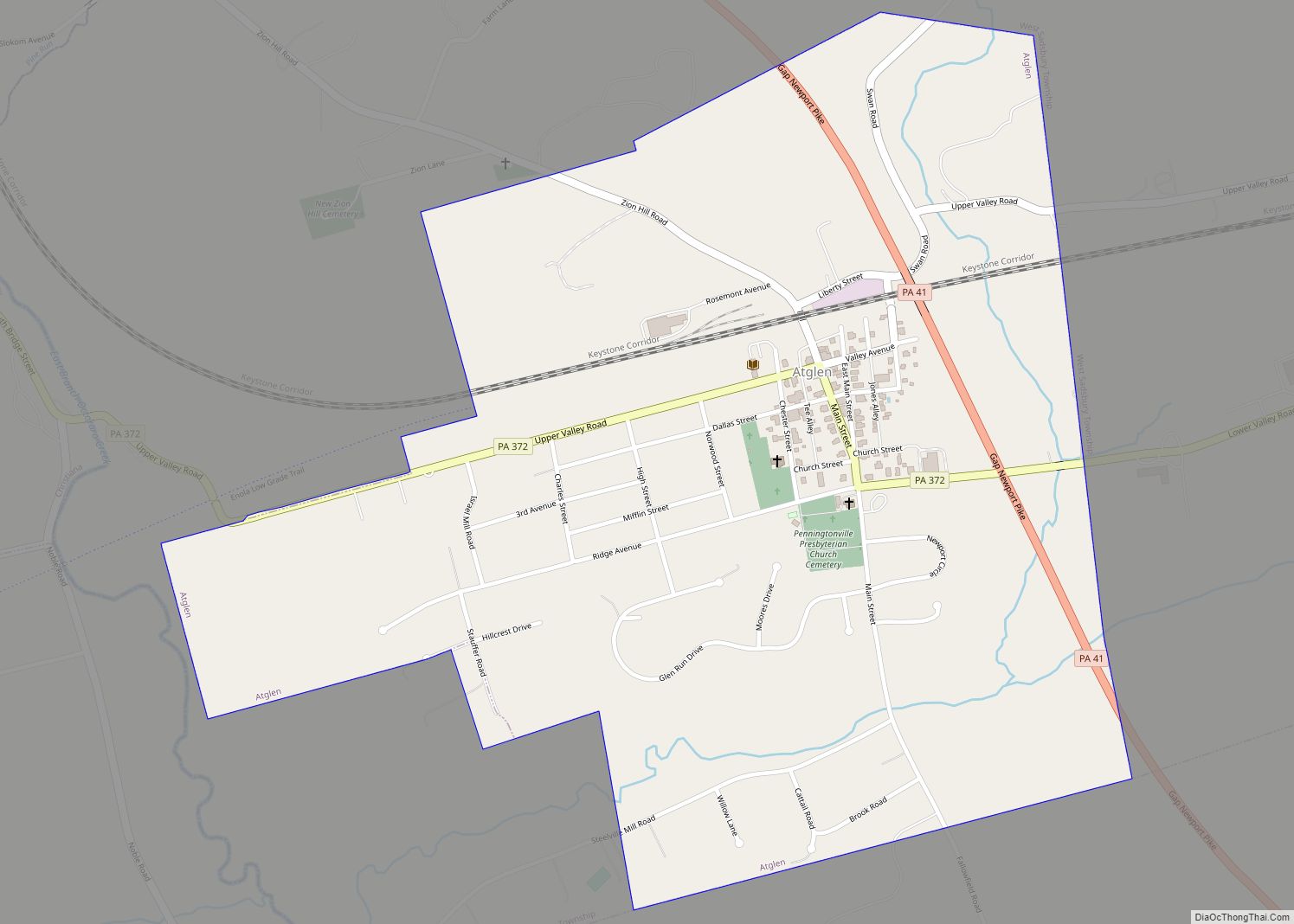
Online Interactive Map
Click on ![]() to view map in "full screen" mode.
to view map in "full screen" mode.
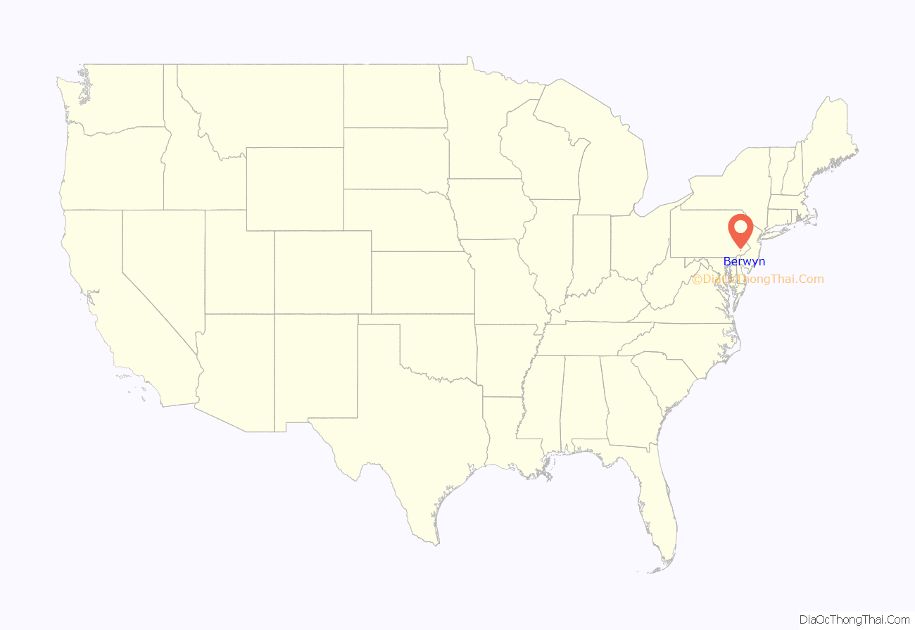
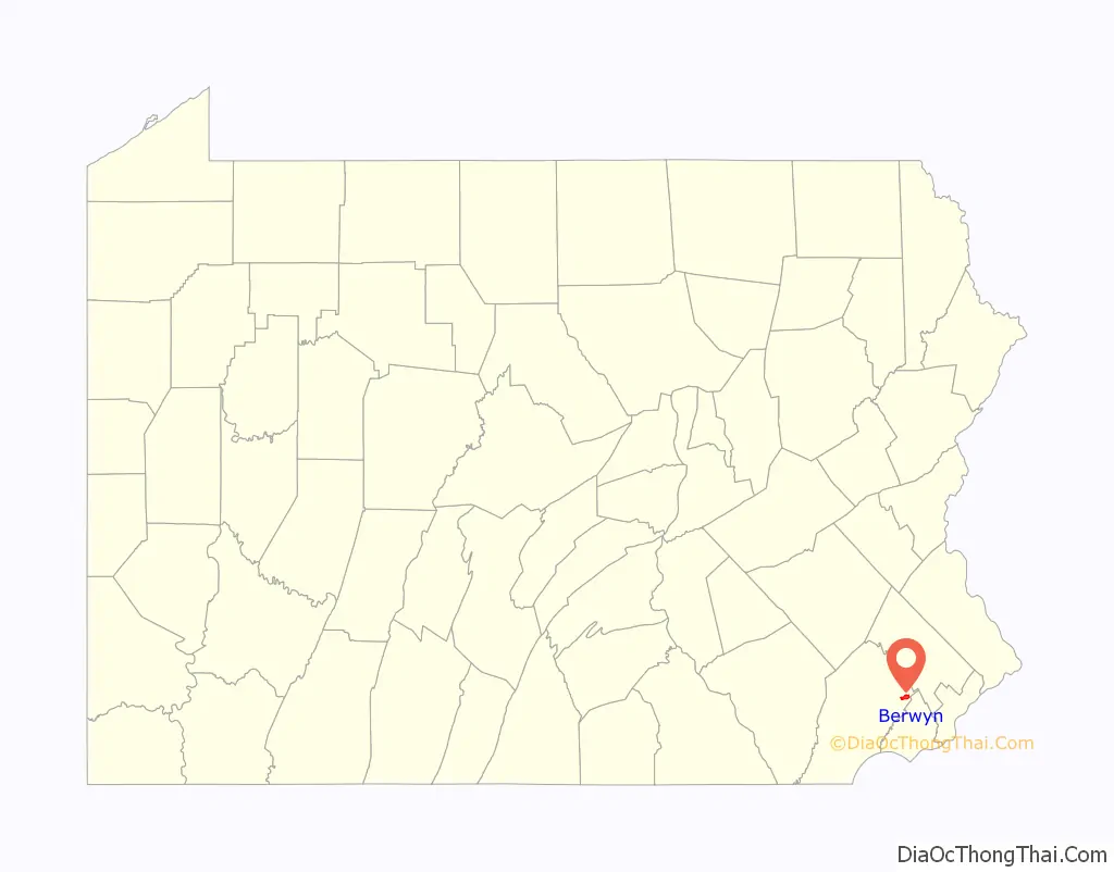
Berwyn location map. Where is Berwyn CDP?
History
At times, the village has been called Cocheltown, Reeseville, Glassley, and Gaysville. The town received its present name in 1877 during the celebration of its centennial when one of the Welsh settlers proposed to name the village after the Berwyn Hills overlooking the Valley of the Dee River in Denbighshire, Wales.
Berwyn Road Map
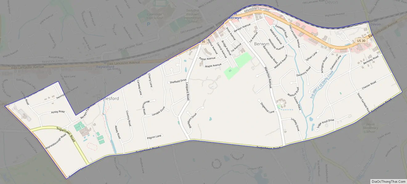
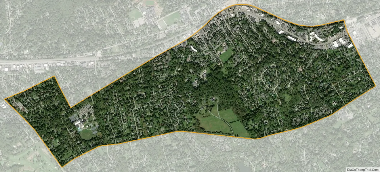
Berwyn city Satellite Map
Geography
Berwyn is located at 40°2′44″N 75°26′22″W / 40.04556°N 75.43944°W / 40.04556; -75.43944. According to the United States Census Bureau, the CDP has a total area of 1.9 square miles (4.8 km), all land.
See also
Map of Pennsylvania State and its subdivision:- Adams
- Allegheny
- Armstrong
- Beaver
- Bedford
- Berks
- Blair
- Bradford
- Bucks
- Butler
- Cambria
- Cameron
- Carbon
- Centre
- Chester
- Clarion
- Clearfield
- Clinton
- Columbia
- Crawford
- Cumberland
- Dauphin
- Delaware
- Elk
- Erie
- Fayette
- Forest
- Franklin
- Fulton
- Greene
- Huntingdon
- Indiana
- Jefferson
- Juniata
- Lackawanna
- Lancaster
- Lawrence
- Lebanon
- Lehigh
- Luzerne
- Lycoming
- Mc Kean
- Mercer
- Mifflin
- Monroe
- Montgomery
- Montour
- Northampton
- Northumberland
- Perry
- Philadelphia
- Pike
- Potter
- Schuylkill
- Snyder
- Somerset
- Sullivan
- Susquehanna
- Tioga
- Union
- Venango
- Warren
- Washington
- Wayne
- Westmoreland
- Wyoming
- York
- Alabama
- Alaska
- Arizona
- Arkansas
- California
- Colorado
- Connecticut
- Delaware
- District of Columbia
- Florida
- Georgia
- Hawaii
- Idaho
- Illinois
- Indiana
- Iowa
- Kansas
- Kentucky
- Louisiana
- Maine
- Maryland
- Massachusetts
- Michigan
- Minnesota
- Mississippi
- Missouri
- Montana
- Nebraska
- Nevada
- New Hampshire
- New Jersey
- New Mexico
- New York
- North Carolina
- North Dakota
- Ohio
- Oklahoma
- Oregon
- Pennsylvania
- Rhode Island
- South Carolina
- South Dakota
- Tennessee
- Texas
- Utah
- Vermont
- Virginia
- Washington
- West Virginia
- Wisconsin
- Wyoming