Cochranville is a census-designated place (CDP) in West Fallowfield Township, Chester County, Pennsylvania, United States. The population was 668 at the 2010 census. It is the hometown of Olympic swimmer Cierra Runge.
| Name: | Cochranville CDP |
|---|---|
| LSAD Code: | 57 |
| LSAD Description: | CDP (suffix) |
| State: | Pennsylvania |
| County: | Chester County |
| Elevation: | 582 ft (177 m) |
| Total Area: | 1.12 sq mi (2.90 km²) |
| Land Area: | 1.12 sq mi (2.89 km²) |
| Water Area: | 0.00 sq mi (0.00 km²) |
| Total Population: | 631 |
| Population Density: | 564.91/sq mi (218.02/km²) |
| ZIP code: | 19330 |
| Area code: | 610 and 484 |
| FIPS code: | 4214808 |
| GNISfeature ID: | 1172116 |
Online Interactive Map
Click on ![]() to view map in "full screen" mode.
to view map in "full screen" mode.
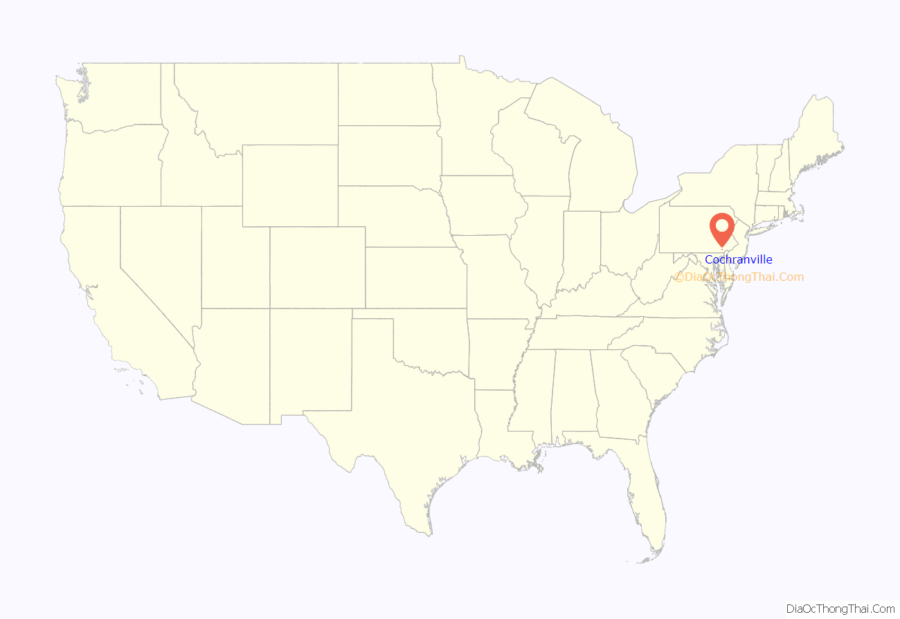
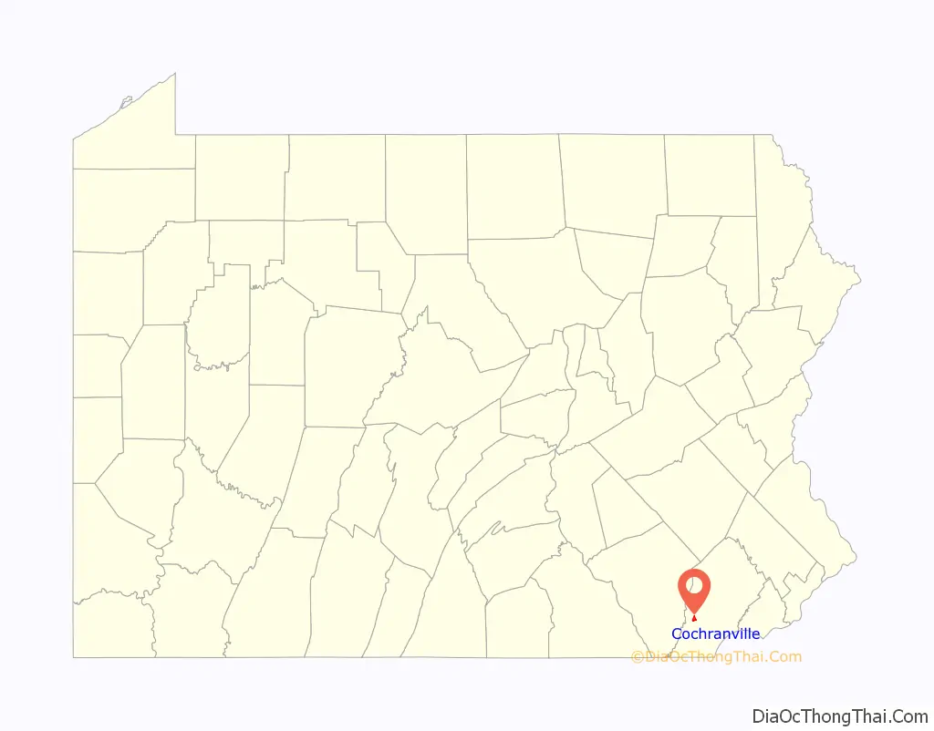
Cochranville location map. Where is Cochranville CDP?
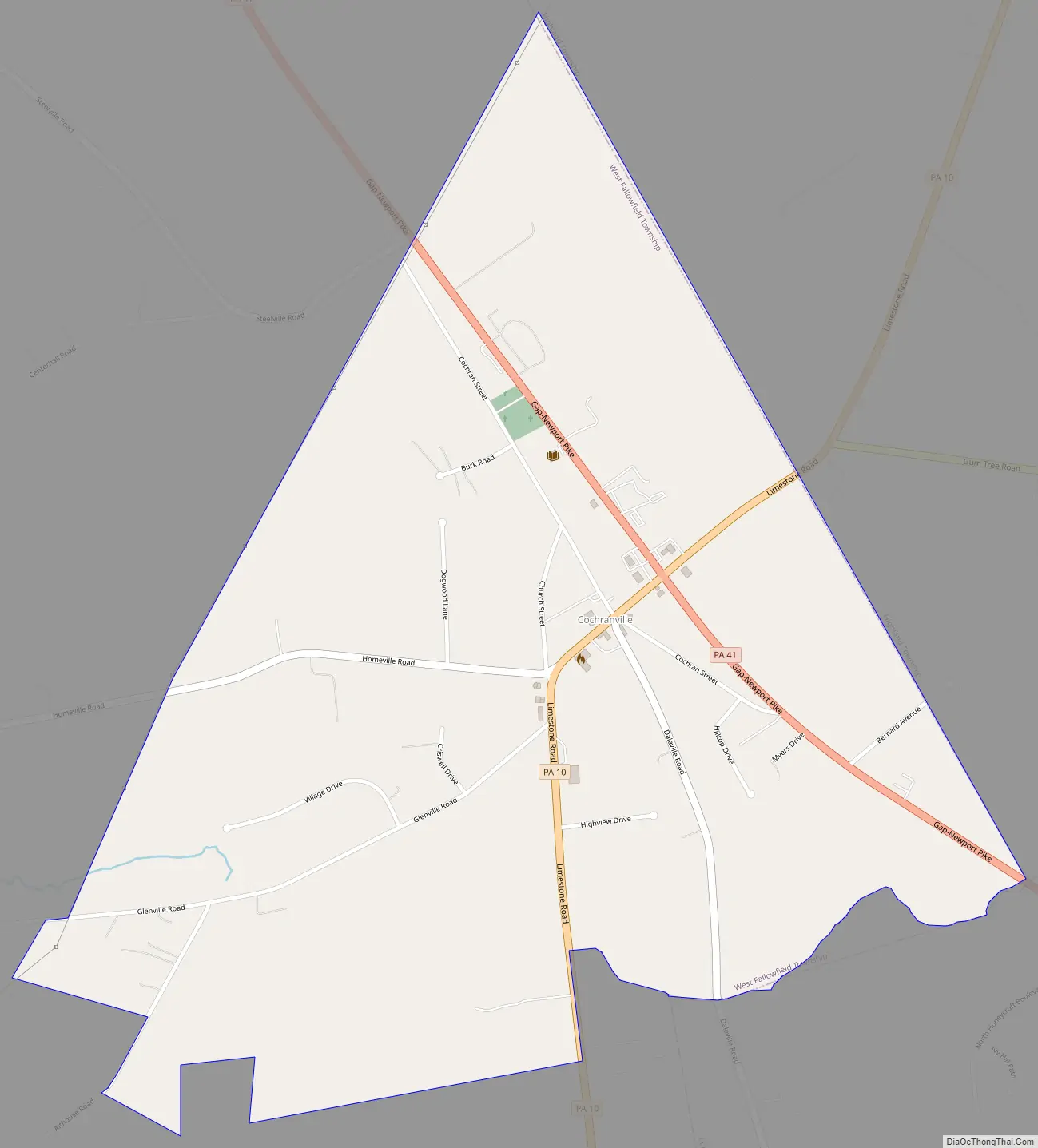
Cochranville Road Map
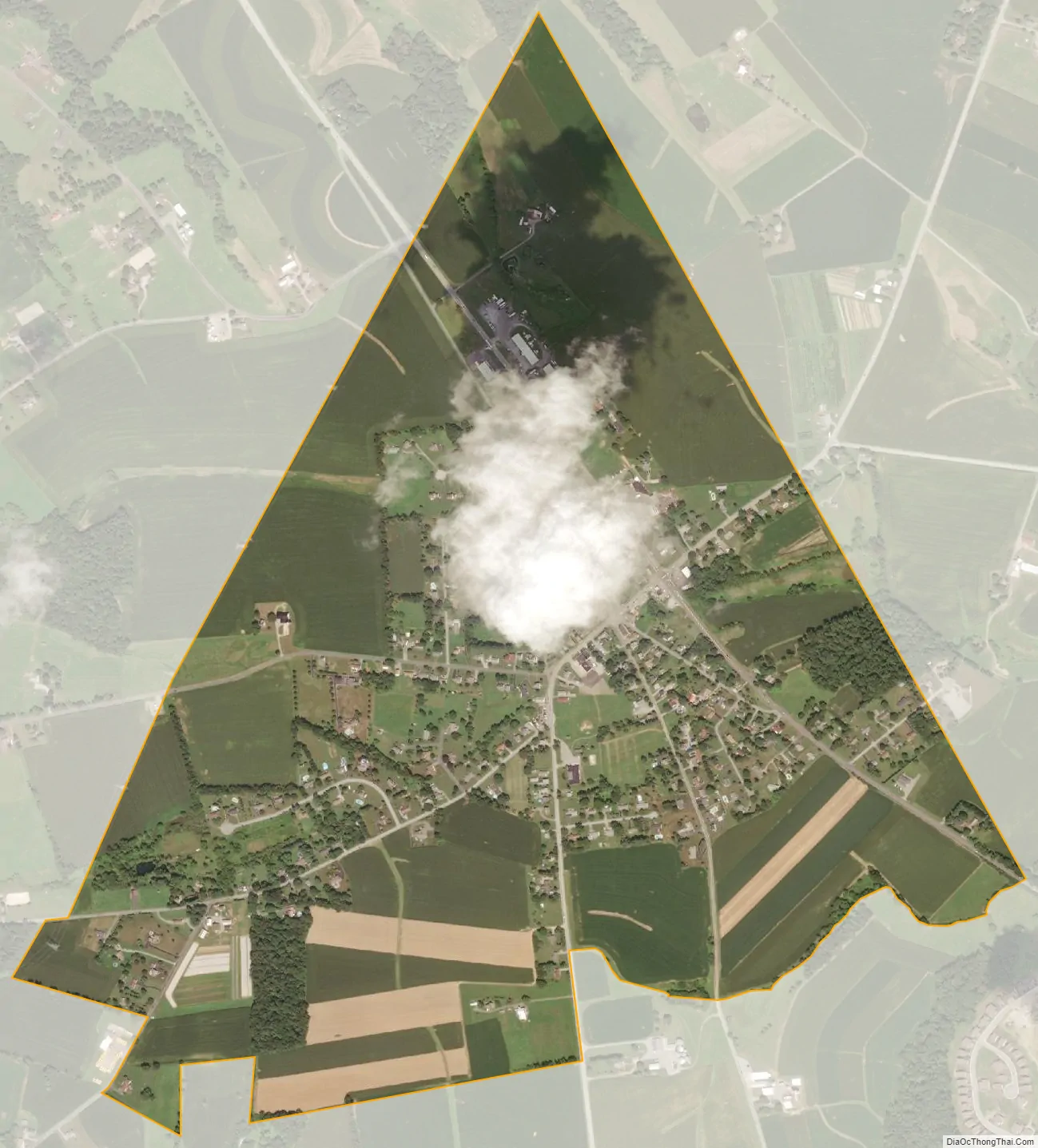
Cochranville city Satellite Map
Geography
Cochranville is located at 39°53′30″N 75°55′17″W / 39.89167°N 75.92139°W / 39.89167; -75.92139 adjacent to the eastern border of West Fallowfield Township. Pennsylvania Routes 10 and 41 intersect in Cochranville, Route 10 heading north to Parkesburg and southwest to Oxford, while Route 41 heads northwest to Atglen and Gap and southeast to Avondale.
According to the United States Census Bureau, the CDP has a total area of 1.1 square miles (2.9 km), all land.
Former Presbyterian church building
See also
Map of Pennsylvania State and its subdivision:- Adams
- Allegheny
- Armstrong
- Beaver
- Bedford
- Berks
- Blair
- Bradford
- Bucks
- Butler
- Cambria
- Cameron
- Carbon
- Centre
- Chester
- Clarion
- Clearfield
- Clinton
- Columbia
- Crawford
- Cumberland
- Dauphin
- Delaware
- Elk
- Erie
- Fayette
- Forest
- Franklin
- Fulton
- Greene
- Huntingdon
- Indiana
- Jefferson
- Juniata
- Lackawanna
- Lancaster
- Lawrence
- Lebanon
- Lehigh
- Luzerne
- Lycoming
- Mc Kean
- Mercer
- Mifflin
- Monroe
- Montgomery
- Montour
- Northampton
- Northumberland
- Perry
- Philadelphia
- Pike
- Potter
- Schuylkill
- Snyder
- Somerset
- Sullivan
- Susquehanna
- Tioga
- Union
- Venango
- Warren
- Washington
- Wayne
- Westmoreland
- Wyoming
- York
- Alabama
- Alaska
- Arizona
- Arkansas
- California
- Colorado
- Connecticut
- Delaware
- District of Columbia
- Florida
- Georgia
- Hawaii
- Idaho
- Illinois
- Indiana
- Iowa
- Kansas
- Kentucky
- Louisiana
- Maine
- Maryland
- Massachusetts
- Michigan
- Minnesota
- Mississippi
- Missouri
- Montana
- Nebraska
- Nevada
- New Hampshire
- New Jersey
- New Mexico
- New York
- North Carolina
- North Dakota
- Ohio
- Oklahoma
- Oregon
- Pennsylvania
- Rhode Island
- South Carolina
- South Dakota
- Tennessee
- Texas
- Utah
- Vermont
- Virginia
- Washington
- West Virginia
- Wisconsin
- Wyoming