Beurys Lake (/ˈbɛriz/) is a census-designated place in Schuylkill County, Pennsylvania, United States. The population was 133 at the 2000 census.
| Name: | Beurys Lake CDP |
|---|---|
| LSAD Code: | 57 |
| LSAD Description: | CDP (suffix) |
| State: | Pennsylvania |
| County: | Schuylkill County |
| Total Area: | 0.41 sq mi (1.05 km²) |
| Land Area: | 0.39 sq mi (1.01 km²) |
| Water Area: | 0.01 sq mi (0.04 km²) |
| Total Population: | 132 |
| Population Density: | 338.46/sq mi (130.52/km²) |
| FIPS code: | 4206171 |
Online Interactive Map
Click on ![]() to view map in "full screen" mode.
to view map in "full screen" mode.
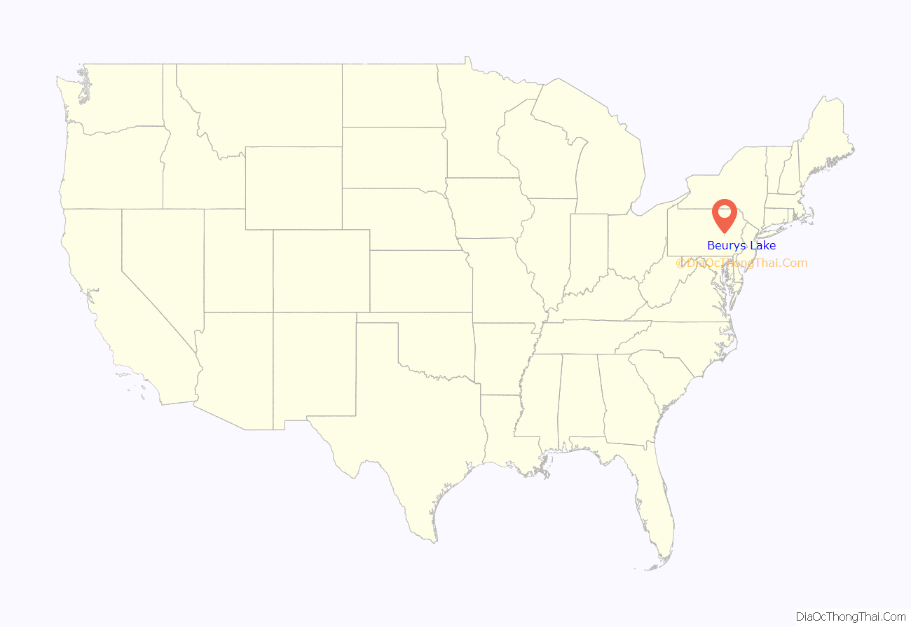
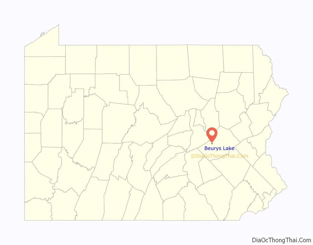
Beurys Lake location map. Where is Beurys Lake CDP?
History
Beury’s Grove
Harvey E Beury (1871-1965) and his wife Alice Hubler Beury (1871-1952) began creating the Beury’s Lake in 1920 by creating a dam on Deep Creek (then also known as Buckhorn Creek) and removing the trees and stumps from the surrounding area. “Beury’s Grove” opened in 1923 as a swimming attraction at “Beury’s Lake” with a 10 cent admission fee. Later additions included cottages for rent or sale, boating, canoeing, fishing, and camping. Facilities included a picnic area, dance hall, and band shell. Entertainment included local bands and as well as celebrities such as the Lone Ranger.
Mountain Valley Lake
Beury’s Grove, Inc began seeking a buyer for the grove in 1957 which culminated in the sale to a group of private investors called Mountain Valley Lake, Inc in 1962. Despite the corporation changing the attraction’s name to “Mountain Valley Lake,” most references included the parenthetical “Formerly Beury’s Grove” since that name remained in common use. Competition from other area attractions (for example, Knoebel’s Grove which started as a similar summer swimming site and continued to expand into an amusement park with thrill rides) and changing social interests led to decreasing attendance and financial difficulties for Mountain Valley Lake. The corporation faced a sheriff’s sale in 1970. The lake closed for the 1971 season and permanently in 1974. The corporation then tried to sell the location which contained the lake and a few surrounding lands and buildings from 1974 through 1983.
Moon Lake Association
In 1984 the lake property was purchased by Moon Lake Association, Inc. The lake proper was also renamed “Moon Lake” at this time and is shown as such in the Census-designated place map of Barry Township This was a homeowner’s association created by a group of homeowners surrounding the lake who were interested in preserving the lake. This voluntary association continues to represent the interests of those living in the area around the lake.
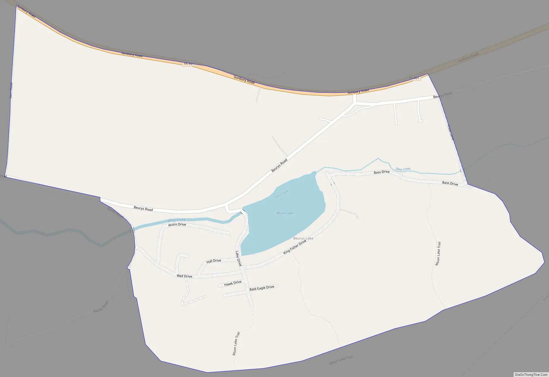
Beurys Lake Road Map
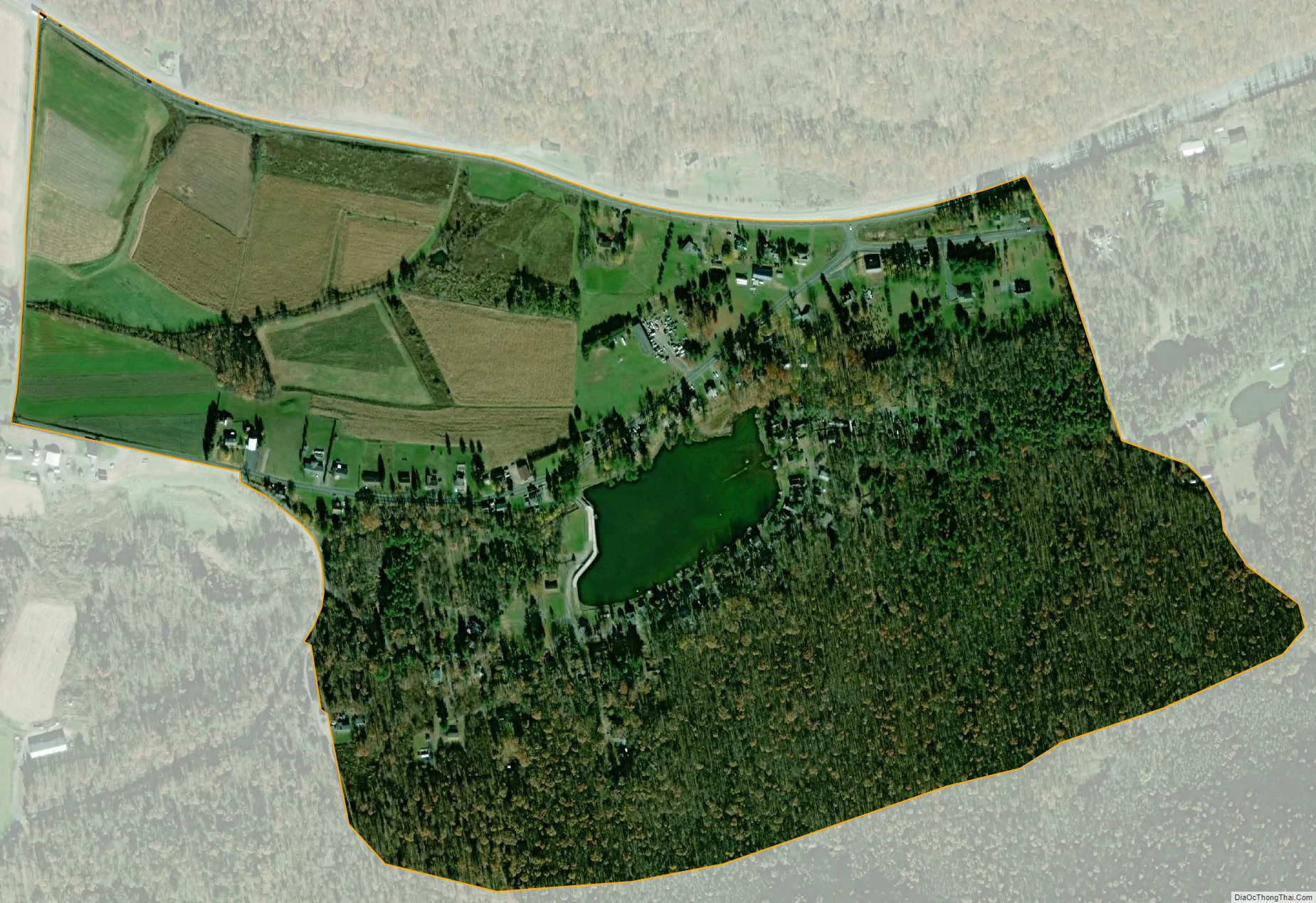
Beurys Lake city Satellite Map
Geography
Beurys Lake is located at 40°43′5″N 76°22′46″W / 40.71806°N 76.37944°W / 40.71806; -76.37944 (40.717942, -76.379373).
According to the United States Census Bureau, the CDP has a total area of 0.4 square miles (1.0 km), of which 0.4 square miles (1.0 km) is land and 2.50% is water.
See also
Map of Pennsylvania State and its subdivision:- Adams
- Allegheny
- Armstrong
- Beaver
- Bedford
- Berks
- Blair
- Bradford
- Bucks
- Butler
- Cambria
- Cameron
- Carbon
- Centre
- Chester
- Clarion
- Clearfield
- Clinton
- Columbia
- Crawford
- Cumberland
- Dauphin
- Delaware
- Elk
- Erie
- Fayette
- Forest
- Franklin
- Fulton
- Greene
- Huntingdon
- Indiana
- Jefferson
- Juniata
- Lackawanna
- Lancaster
- Lawrence
- Lebanon
- Lehigh
- Luzerne
- Lycoming
- Mc Kean
- Mercer
- Mifflin
- Monroe
- Montgomery
- Montour
- Northampton
- Northumberland
- Perry
- Philadelphia
- Pike
- Potter
- Schuylkill
- Snyder
- Somerset
- Sullivan
- Susquehanna
- Tioga
- Union
- Venango
- Warren
- Washington
- Wayne
- Westmoreland
- Wyoming
- York
- Alabama
- Alaska
- Arizona
- Arkansas
- California
- Colorado
- Connecticut
- Delaware
- District of Columbia
- Florida
- Georgia
- Hawaii
- Idaho
- Illinois
- Indiana
- Iowa
- Kansas
- Kentucky
- Louisiana
- Maine
- Maryland
- Massachusetts
- Michigan
- Minnesota
- Mississippi
- Missouri
- Montana
- Nebraska
- Nevada
- New Hampshire
- New Jersey
- New Mexico
- New York
- North Carolina
- North Dakota
- Ohio
- Oklahoma
- Oregon
- Pennsylvania
- Rhode Island
- South Carolina
- South Dakota
- Tennessee
- Texas
- Utah
- Vermont
- Virginia
- Washington
- West Virginia
- Wisconsin
- Wyoming


