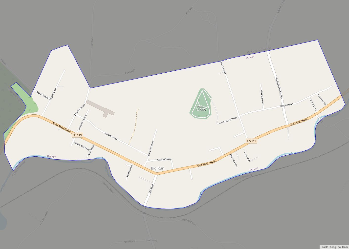
Big Run is a borough in Jefferson County, Pennsylvania, United States. The population was 624 at the 2010 census, a decline from the figure of 686 tabulated in 2000. The borough was named for the waterway of the same name.
| Name: | Big Run borough |
|---|---|
| LSAD Code: | 21 |
| LSAD Description: | borough (suffix) |
| State: | Pennsylvania |
| County: | Jefferson County |
| Incorporated: | 1867 |
| Elevation: | 1,289 ft (393 m) |
| Total Area: | 0.71 sq mi (1.84 km²) |
| Land Area: | 0.69 sq mi (1.79 km²) |
| Water Area: | 0.02 sq mi (0.05 km²) |
| Total Population: | 647 |
| Population Density: | 936.32/sq mi (361.30/km²) |
| ZIP code: | 15715 |
| Area code: | 814 |
| FIPS code: | 4206344 |
| GNISfeature ID: | 1215297 |
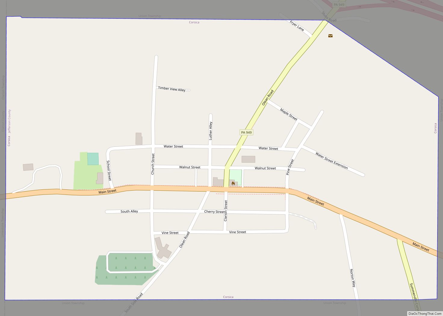
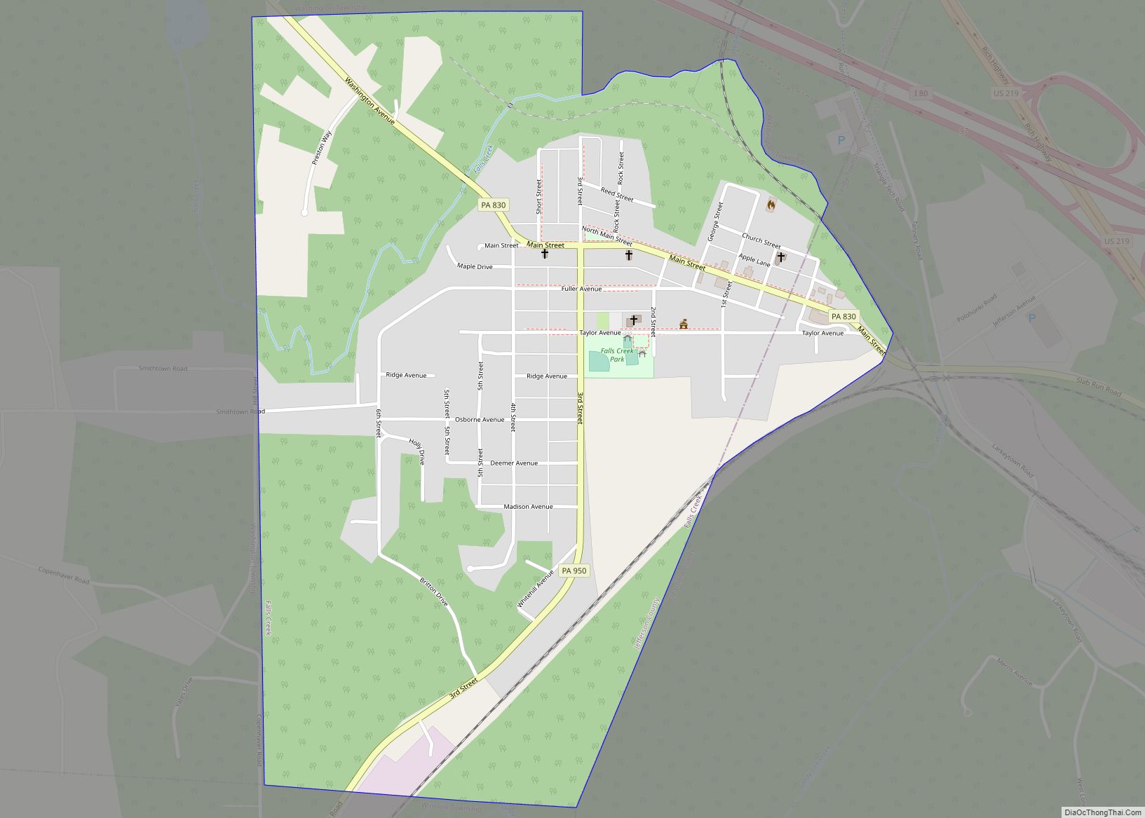
Online Interactive Map
Click on ![]() to view map in "full screen" mode.
to view map in "full screen" mode.
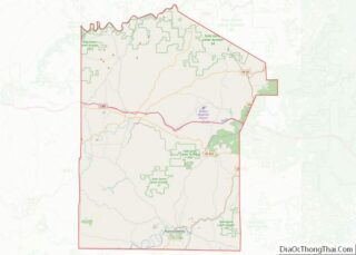
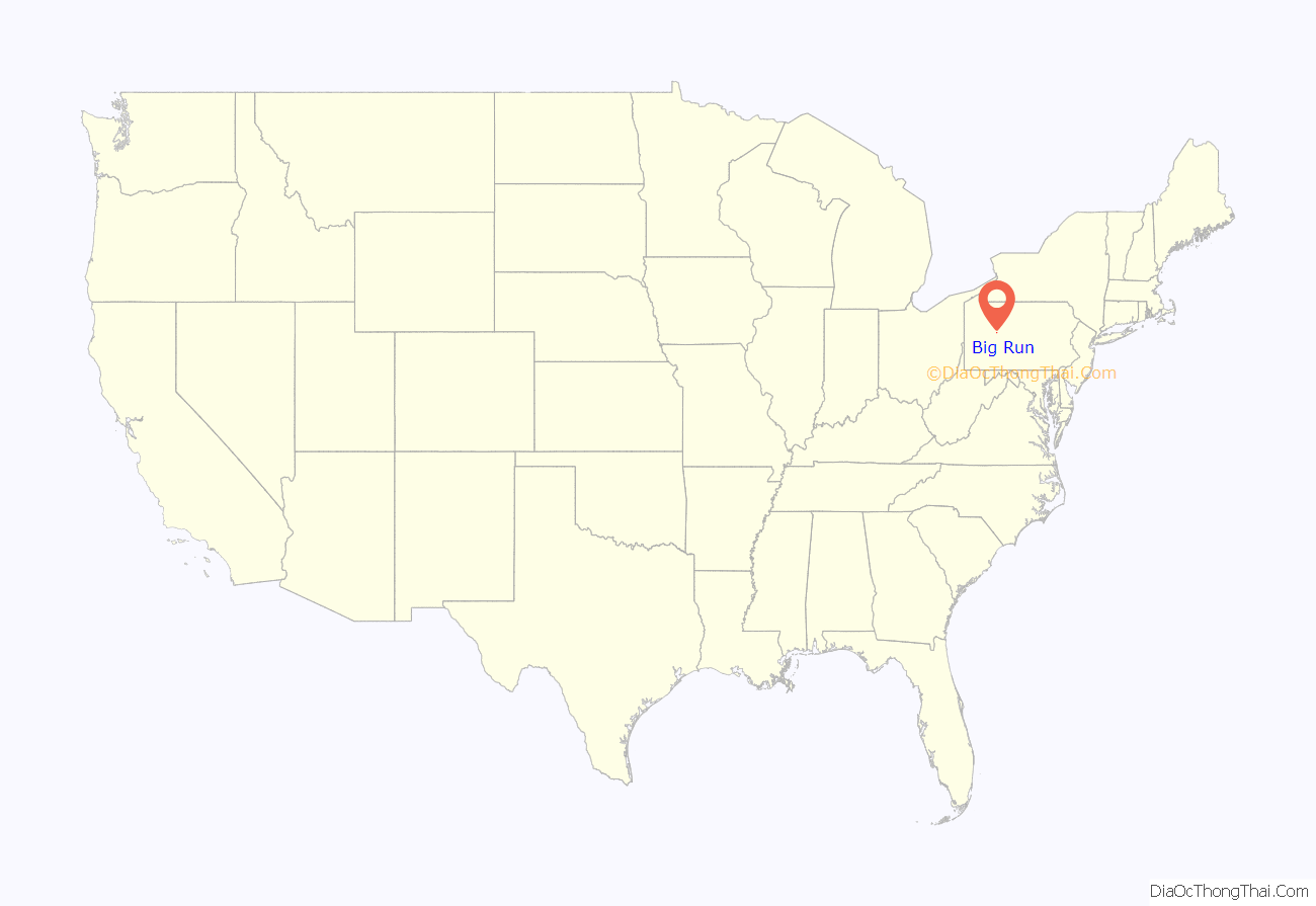
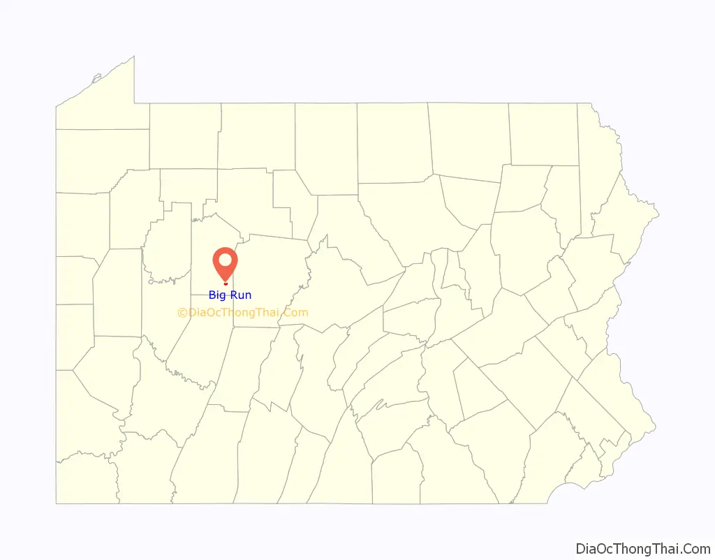
Big Run location map. Where is Big Run borough?
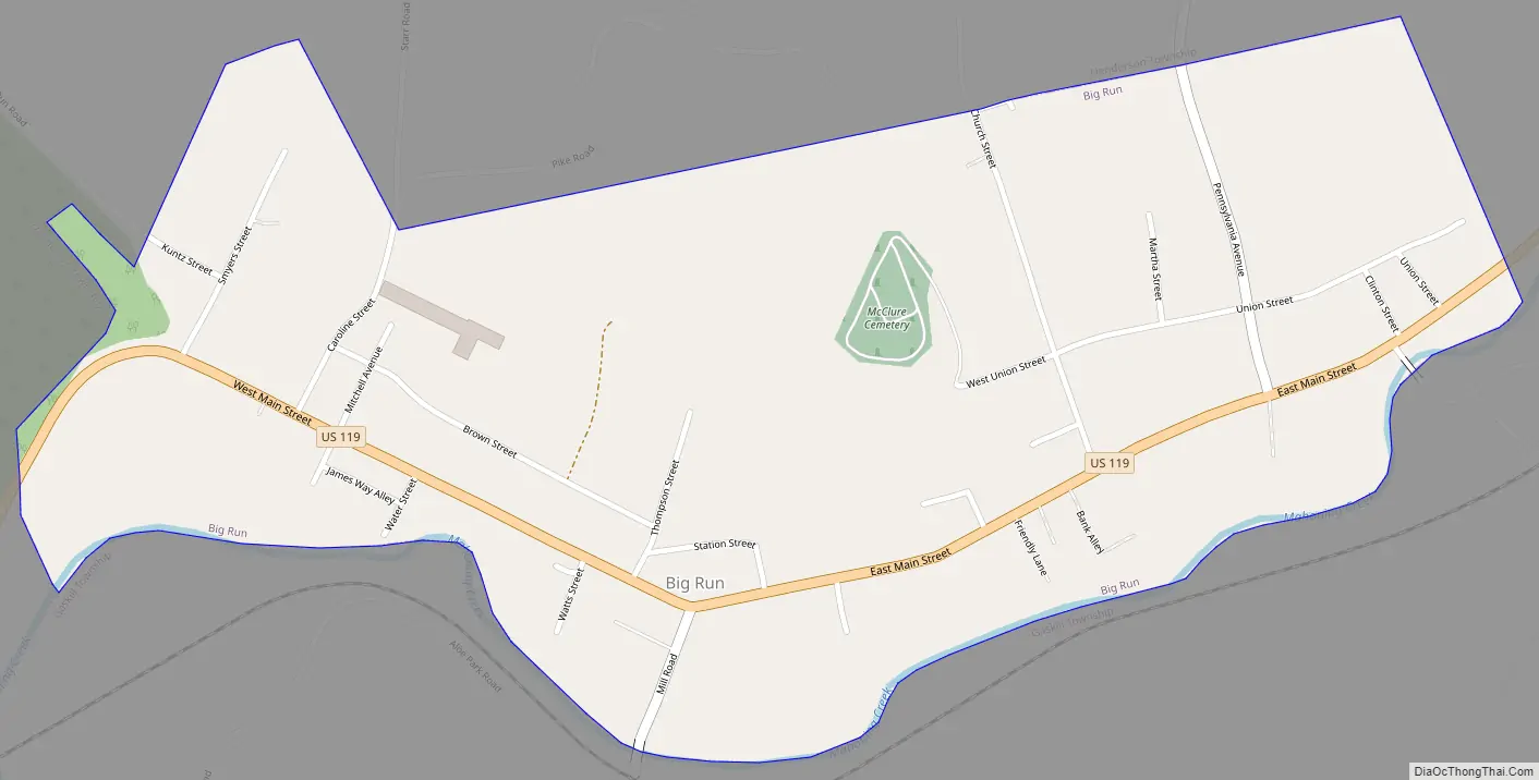
Big Run Road Map
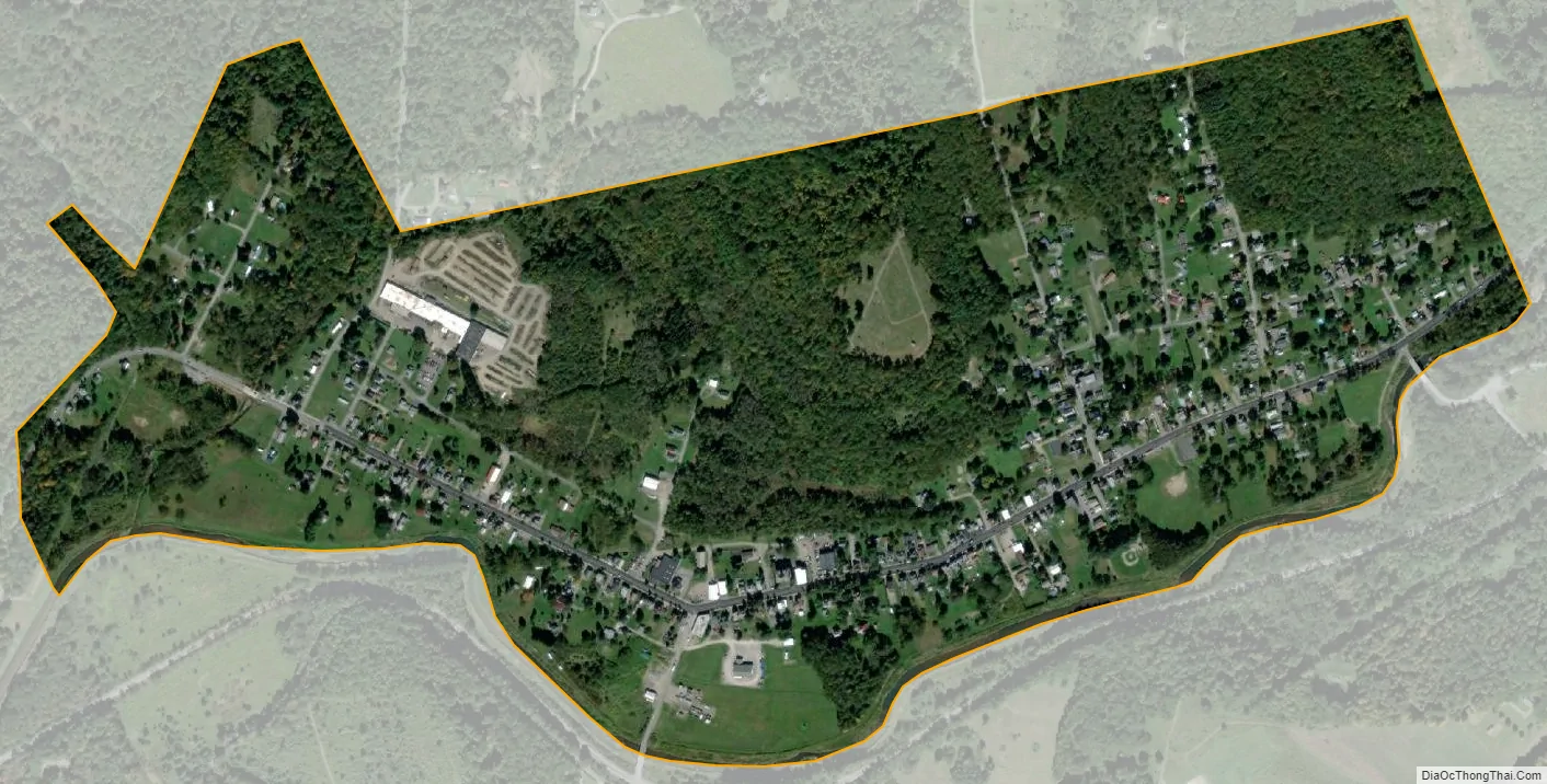
Big Run city Satellite Map
Geography
Big Run is located in southeastern Jefferson County at 40°58′12″N 78°52′40″W / 40.97000°N 78.87778°W / 40.97000; -78.87778 (40.969945, -78.877848), on the north side of Mahoning Creek, a westward-flowing tributary of the Allegheny River. The borough is named for Big Run, which joins Mahoning Creek at the western end of the community.
U.S. Route 119 passes through the center of town, leading northeast 13 miles (21 km) to DuBois and southwest 6 miles (10 km) to Punxsutawney.
According to the United States Census Bureau, the borough of Big Run has a total area of 0.71 square miles (1.84 km), of which 0.02 square miles (0.05 km), or 2.69%, are water.
See also
Map of Pennsylvania State and its subdivision:- Adams
- Allegheny
- Armstrong
- Beaver
- Bedford
- Berks
- Blair
- Bradford
- Bucks
- Butler
- Cambria
- Cameron
- Carbon
- Centre
- Chester
- Clarion
- Clearfield
- Clinton
- Columbia
- Crawford
- Cumberland
- Dauphin
- Delaware
- Elk
- Erie
- Fayette
- Forest
- Franklin
- Fulton
- Greene
- Huntingdon
- Indiana
- Jefferson
- Juniata
- Lackawanna
- Lancaster
- Lawrence
- Lebanon
- Lehigh
- Luzerne
- Lycoming
- Mc Kean
- Mercer
- Mifflin
- Monroe
- Montgomery
- Montour
- Northampton
- Northumberland
- Perry
- Philadelphia
- Pike
- Potter
- Schuylkill
- Snyder
- Somerset
- Sullivan
- Susquehanna
- Tioga
- Union
- Venango
- Warren
- Washington
- Wayne
- Westmoreland
- Wyoming
- York
- Alabama
- Alaska
- Arizona
- Arkansas
- California
- Colorado
- Connecticut
- Delaware
- District of Columbia
- Florida
- Georgia
- Hawaii
- Idaho
- Illinois
- Indiana
- Iowa
- Kansas
- Kentucky
- Louisiana
- Maine
- Maryland
- Massachusetts
- Michigan
- Minnesota
- Mississippi
- Missouri
- Montana
- Nebraska
- Nevada
- New Hampshire
- New Jersey
- New Mexico
- New York
- North Carolina
- North Dakota
- Ohio
- Oklahoma
- Oregon
- Pennsylvania
- Rhode Island
- South Carolina
- South Dakota
- Tennessee
- Texas
- Utah
- Vermont
- Virginia
- Washington
- West Virginia
- Wisconsin
- Wyoming