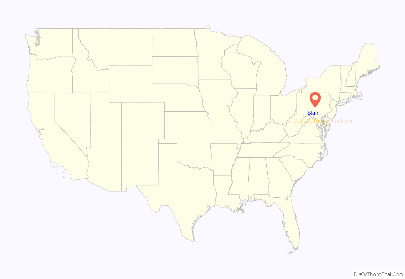
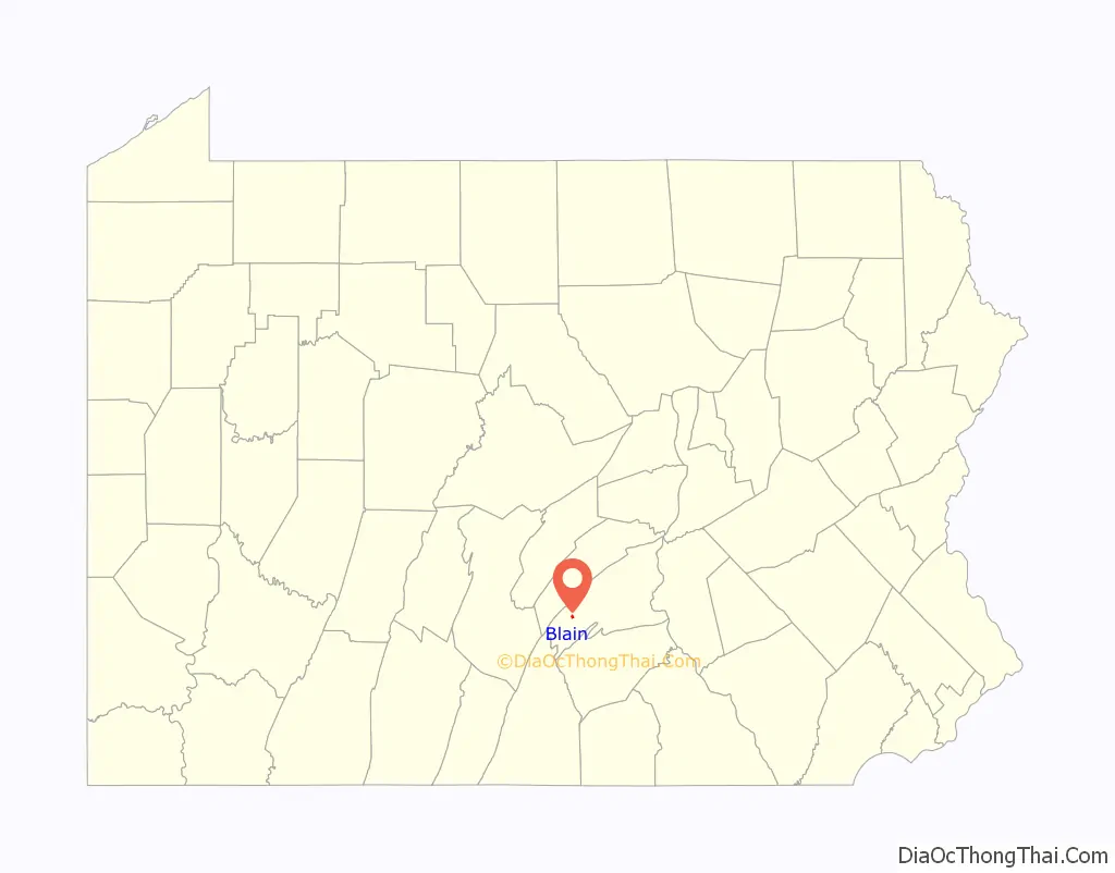
Blain is a borough in Perry County, Pennsylvania, United States. The population was 227 at the 2020 census. It is part of the Harrisburg metropolitan area. Blain is located in a valley region known as Sherman’s Valley.
| Name: | Blain borough |
|---|---|
| LSAD Code: | 21 |
| LSAD Description: | borough (suffix) |
| State: | Pennsylvania |
| County: | Perry County |
| Incorporated: | 1877 |
| Total Area: | 0.32 sq mi (0.82 km²) |
| Land Area: | 0.32 sq mi (0.82 km²) |
| Water Area: | 0.00 sq mi (0.00 km²) |
| Total Population: | 229 |
| Population Density: | 720.13/sq mi (278.47/km²) |
| FIPS code: | 4206824 |
Online Interactive Map
Click on ![]() to view map in "full screen" mode.
to view map in "full screen" mode.
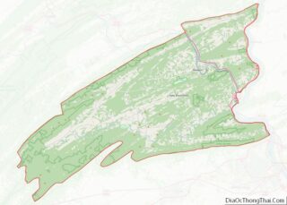
Blain location map. Where is Blain borough?
History
Early settlement began around the mill built by James Blaine in 1778, from whom the borough took its name. The final “e” was dropped at some point, although there are records of county newspapers using the “Blaine” spelling until at least 1868. Early in the 1800s, Blaine’s mill came into the possession of William Douglas, who had a post office established with the name “Douglas’ Mills”. A subsequent owner of the mill, Anthony Black, had the name of the post office changed to “Multicaulisville”, after the mulberry tree (morus multicaulis), in which he had a financial interest during a speculative bubble in the tree. Lots were platted for sale in 1846 and the name of the post office was changed to “Blain”.
At one time, Blain was noted for being the smallest borough in Pennsylvania to own its own water plant and electric street lighting system. Jacob Wentz was instrumental in the construction of the first water plant in about 1869 or 1870. The borough was incorporated by an order of the Perry county court on November 3, 1877.
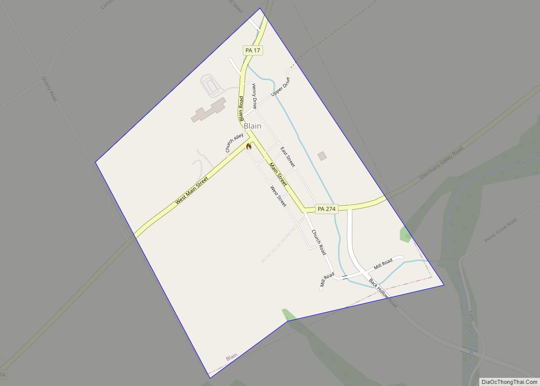
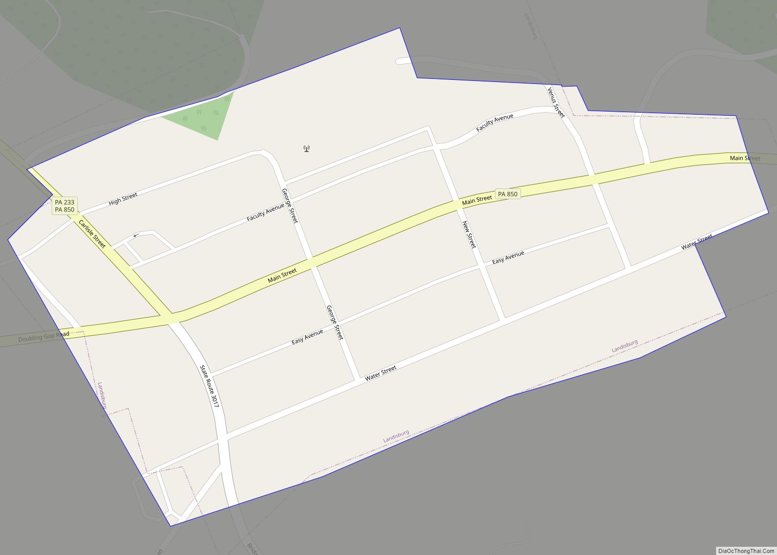
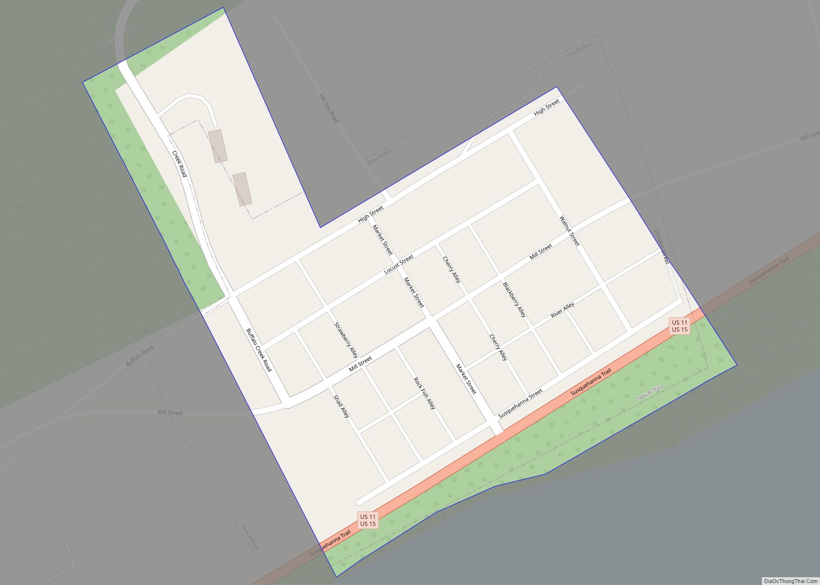
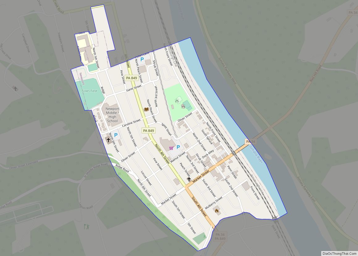
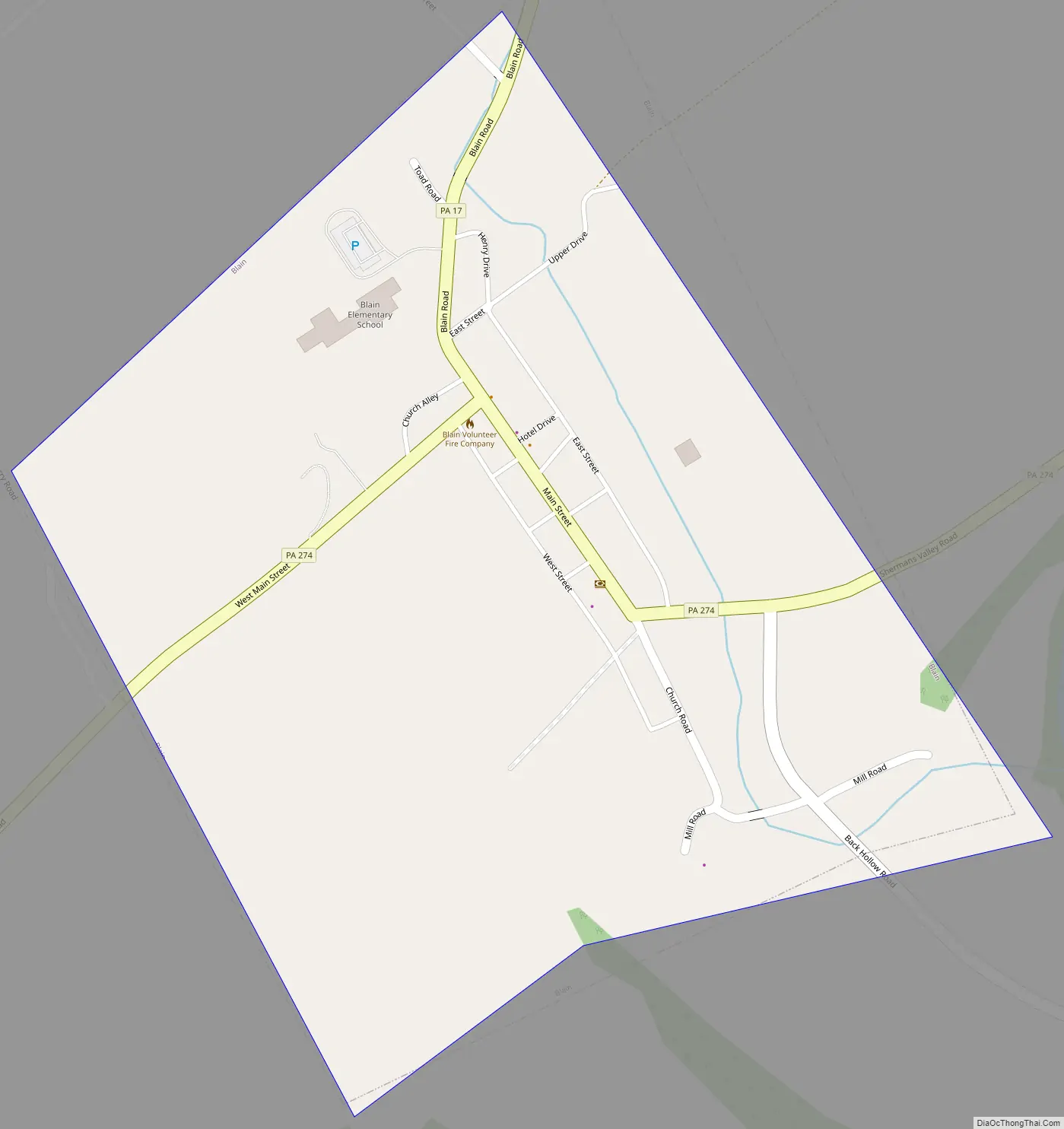
Blain Road Map
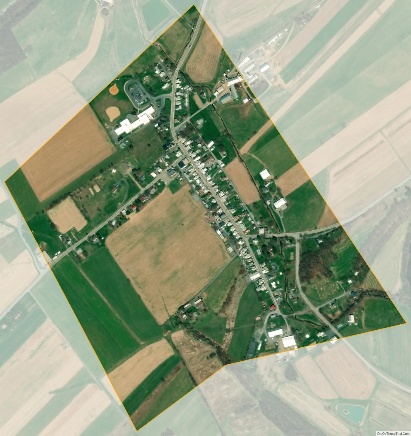
Blain city Satellite Map
Geography
Blain is located at 40°20′14″N 77°30′38″W / 40.33722°N 77.51056°W / 40.33722; -77.51056 (40.337233, -77.510525).
According to the United States Census Bureau, the borough has a total area of 0.3 square miles (0.78 km), all land. Population is 286 (2000). Its highest point is Conegeuege Mountain (1872 feet); the elevation is 750 feet on average.
See also
Map of Pennsylvania State and its subdivision:- Adams
- Allegheny
- Armstrong
- Beaver
- Bedford
- Berks
- Blair
- Bradford
- Bucks
- Butler
- Cambria
- Cameron
- Carbon
- Centre
- Chester
- Clarion
- Clearfield
- Clinton
- Columbia
- Crawford
- Cumberland
- Dauphin
- Delaware
- Elk
- Erie
- Fayette
- Forest
- Franklin
- Fulton
- Greene
- Huntingdon
- Indiana
- Jefferson
- Juniata
- Lackawanna
- Lancaster
- Lawrence
- Lebanon
- Lehigh
- Luzerne
- Lycoming
- Mc Kean
- Mercer
- Mifflin
- Monroe
- Montgomery
- Montour
- Northampton
- Northumberland
- Perry
- Philadelphia
- Pike
- Potter
- Schuylkill
- Snyder
- Somerset
- Sullivan
- Susquehanna
- Tioga
- Union
- Venango
- Warren
- Washington
- Wayne
- Westmoreland
- Wyoming
- York
- Alabama
- Alaska
- Arizona
- Arkansas
- California
- Colorado
- Connecticut
- Delaware
- District of Columbia
- Florida
- Georgia
- Hawaii
- Idaho
- Illinois
- Indiana
- Iowa
- Kansas
- Kentucky
- Louisiana
- Maine
- Maryland
- Massachusetts
- Michigan
- Minnesota
- Mississippi
- Missouri
- Montana
- Nebraska
- Nevada
- New Hampshire
- New Jersey
- New Mexico
- New York
- North Carolina
- North Dakota
- Ohio
- Oklahoma
- Oregon
- Pennsylvania
- Rhode Island
- South Carolina
- South Dakota
- Tennessee
- Texas
- Utah
- Vermont
- Virginia
- Washington
- West Virginia
- Wisconsin
- Wyoming