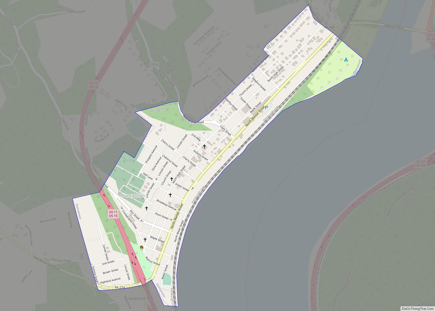
Duncannon is a borough in Perry County, Pennsylvania, United States. The population was 1,473 at the 2020 census. It is part of the Harrisburg–Carlisle Metropolitan Statistical Area. The center of population of Pennsylvania is located in Duncannon. Lightning Guider Sleds were manufactured in Duncannon from 1904 until 1988. The Appalachian Trail makes its way through the town, going on various streets, and runs mainly along North High Street. It comes off the mountain at 40.3813, -77.0292 lat/long, onto Inn Road.
| Name: | Duncannon borough |
|---|---|
| LSAD Code: | 21 |
| LSAD Description: | borough (suffix) |
| State: | Pennsylvania |
| County: | Perry County |
| Incorporated: | 1844 |
| Total Area: | 0.41 sq mi (1.05 km²) |
| Land Area: | 0.41 sq mi (1.05 km²) |
| Water Area: | 0.00 sq mi (0.00 km²) |
| Total Population: | 1,478 |
| Population Density: | 3,631.45/sq mi (1,401.74/km²) |
| Area code: | 717 |
| FIPS code: | 4220240 |
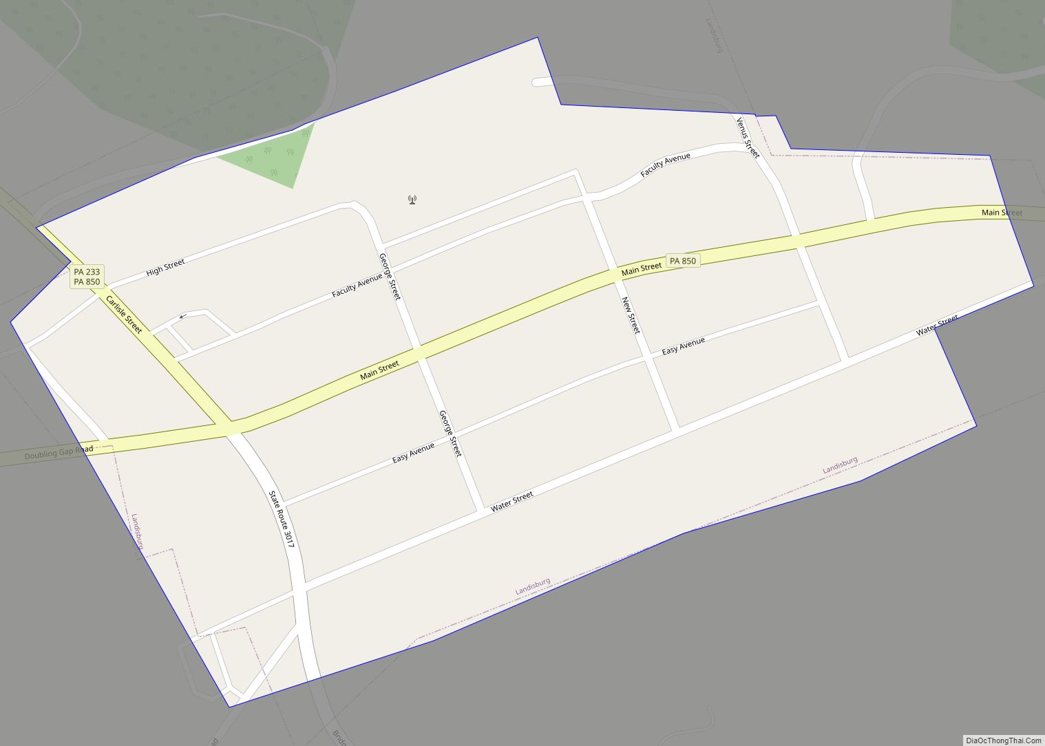
Online Interactive Map
Click on ![]() to view map in "full screen" mode.
to view map in "full screen" mode.
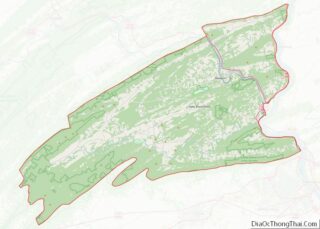
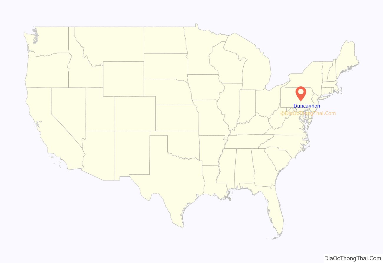
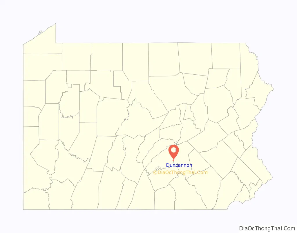
Duncannon location map. Where is Duncannon borough?
History
Duncannon was originally called Petersburg, and under the latter name was laid out in 1792. The present name is derived from Duncan’s Island in the Susquehanna River.
The Puritan missionary David Brainerd visited the area in the 1740s. In his journal he describes his trip on the Susquehanna and his brief stay with an Indian tribe on Duncan’s Island, across the river from present-day Duncannon.
The Mutzabaugh family has close connection to the town, as their market (now grocery store) named after the family has been a presence in the town since 1920, opening originally along the old railroad crossing between Market Square and High Street.
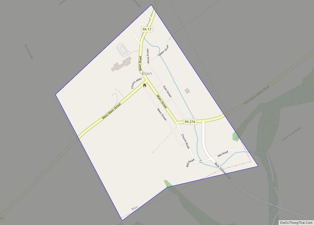
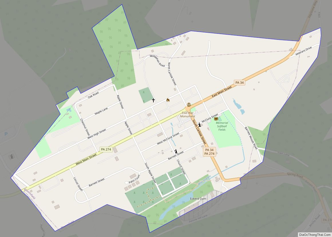
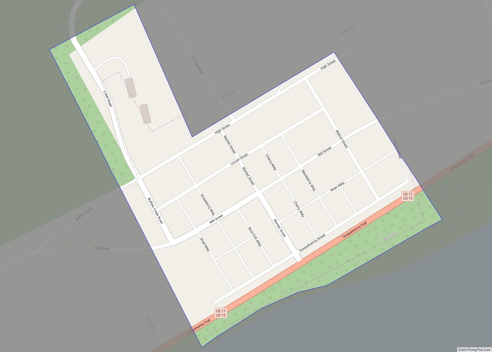
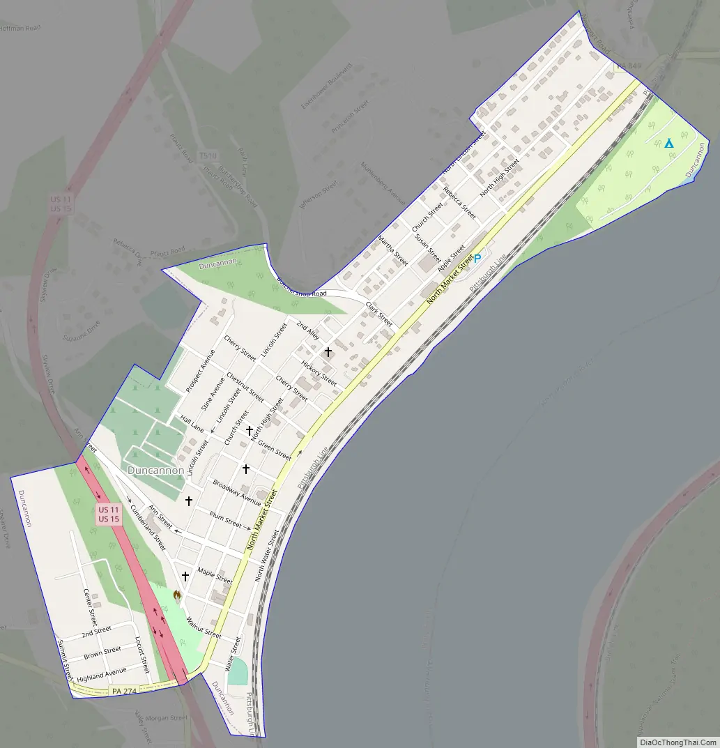
Duncannon Road Map
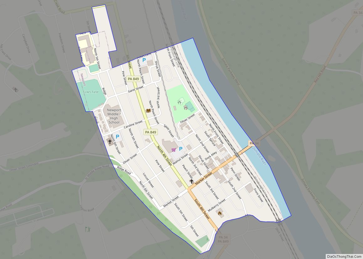
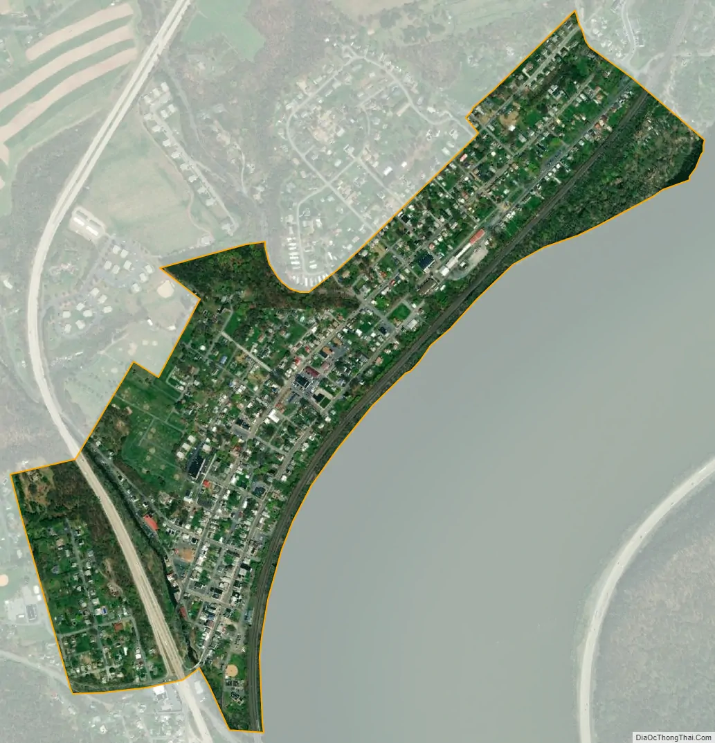
Duncannon city Satellite Map
Geography
Duncannon is located at 40°23′38″N 77°1′44″W / 40.39389°N 77.02889°W / 40.39389; -77.02889 (40.393986, -77.028891). According to the U.S. Census Bureau, the borough has a total area of 0.4 square miles (1.0 km), all land.
The Sheetz has E15 and E85.
See also
Map of Pennsylvania State and its subdivision:- Adams
- Allegheny
- Armstrong
- Beaver
- Bedford
- Berks
- Blair
- Bradford
- Bucks
- Butler
- Cambria
- Cameron
- Carbon
- Centre
- Chester
- Clarion
- Clearfield
- Clinton
- Columbia
- Crawford
- Cumberland
- Dauphin
- Delaware
- Elk
- Erie
- Fayette
- Forest
- Franklin
- Fulton
- Greene
- Huntingdon
- Indiana
- Jefferson
- Juniata
- Lackawanna
- Lancaster
- Lawrence
- Lebanon
- Lehigh
- Luzerne
- Lycoming
- Mc Kean
- Mercer
- Mifflin
- Monroe
- Montgomery
- Montour
- Northampton
- Northumberland
- Perry
- Philadelphia
- Pike
- Potter
- Schuylkill
- Snyder
- Somerset
- Sullivan
- Susquehanna
- Tioga
- Union
- Venango
- Warren
- Washington
- Wayne
- Westmoreland
- Wyoming
- York
- Alabama
- Alaska
- Arizona
- Arkansas
- California
- Colorado
- Connecticut
- Delaware
- District of Columbia
- Florida
- Georgia
- Hawaii
- Idaho
- Illinois
- Indiana
- Iowa
- Kansas
- Kentucky
- Louisiana
- Maine
- Maryland
- Massachusetts
- Michigan
- Minnesota
- Mississippi
- Missouri
- Montana
- Nebraska
- Nevada
- New Hampshire
- New Jersey
- New Mexico
- New York
- North Carolina
- North Dakota
- Ohio
- Oklahoma
- Oregon
- Pennsylvania
- Rhode Island
- South Carolina
- South Dakota
- Tennessee
- Texas
- Utah
- Vermont
- Virginia
- Washington
- West Virginia
- Wisconsin
- Wyoming