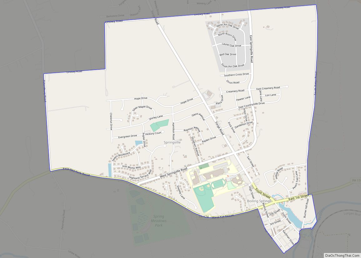
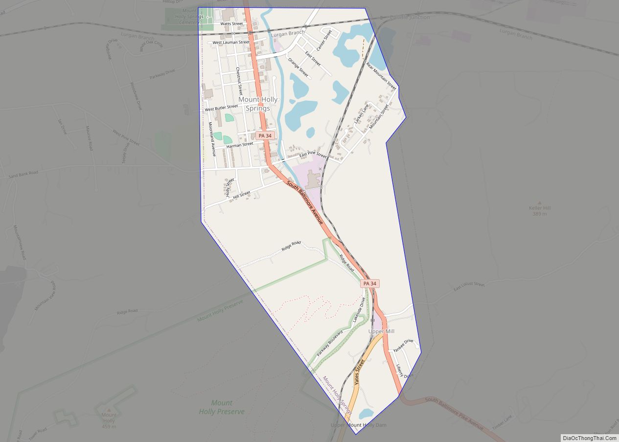
Boiling Springs is a census-designated place (CDP) in South Middleton Township, Cumberland County, Pennsylvania and is part of the Harrisburg–Carlisle metropolitan statistical area. The population was 3,225 at the 2010 census, up from 2,769 at the 2000 census.
| Name: | Boiling Springs CDP |
|---|---|
| LSAD Code: | 57 |
| LSAD Description: | CDP (suffix) |
| State: | Pennsylvania |
| County: | Cumberland County |
| Elevation: | 490 ft (150 m) |
| Total Area: | 2.48 sq mi (6.43 km²) |
| Land Area: | 2.47 sq mi (6.39 km²) |
| Water Area: | 0.01 sq mi (0.03 km²) |
| Total Population: | 3,449 |
| Population Density: | 1,396.92/sq mi (539.43/km²) |
| ZIP code: | 17007 |
| Area code: | 717 |
| FIPS code: | 4207472 |
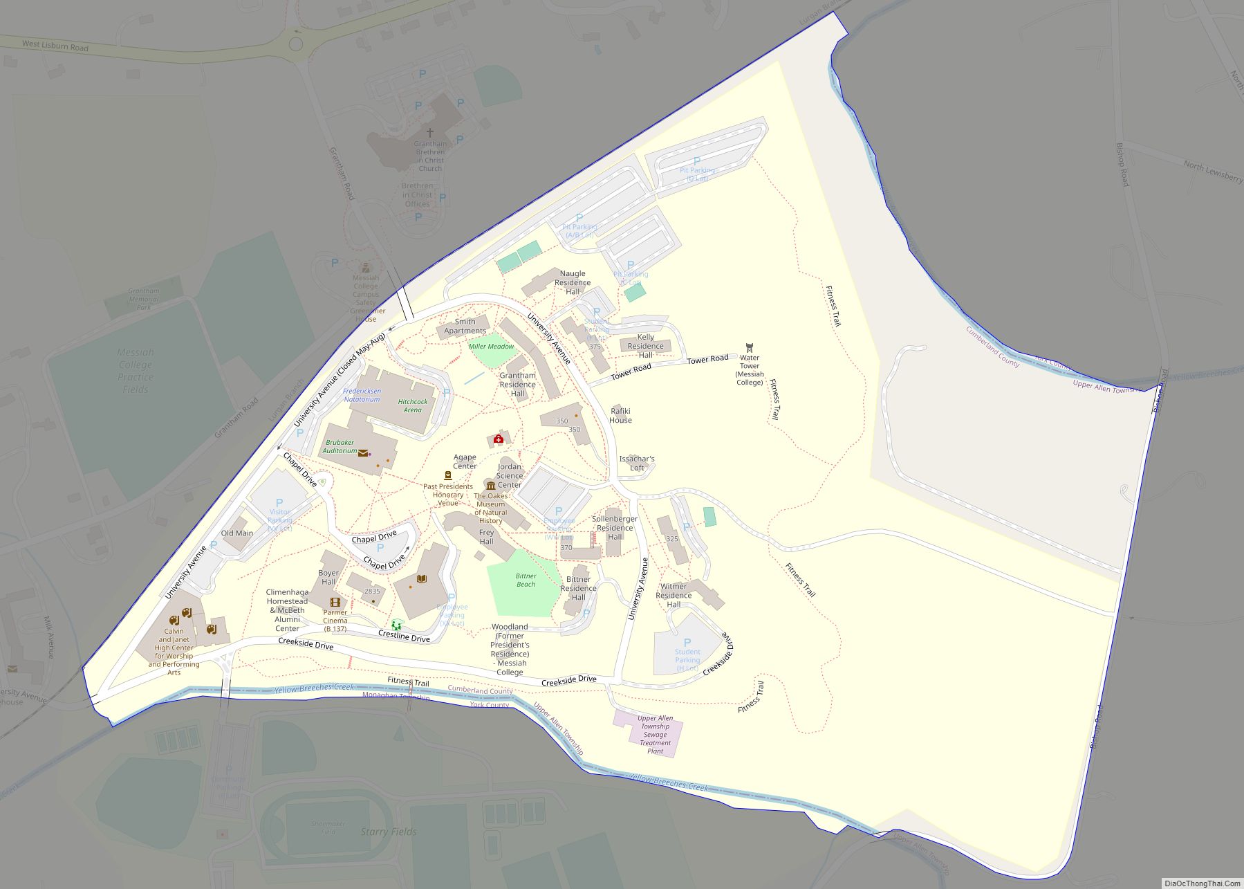
Online Interactive Map
Click on ![]() to view map in "full screen" mode.
to view map in "full screen" mode.
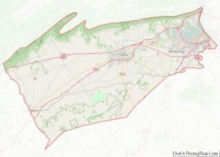
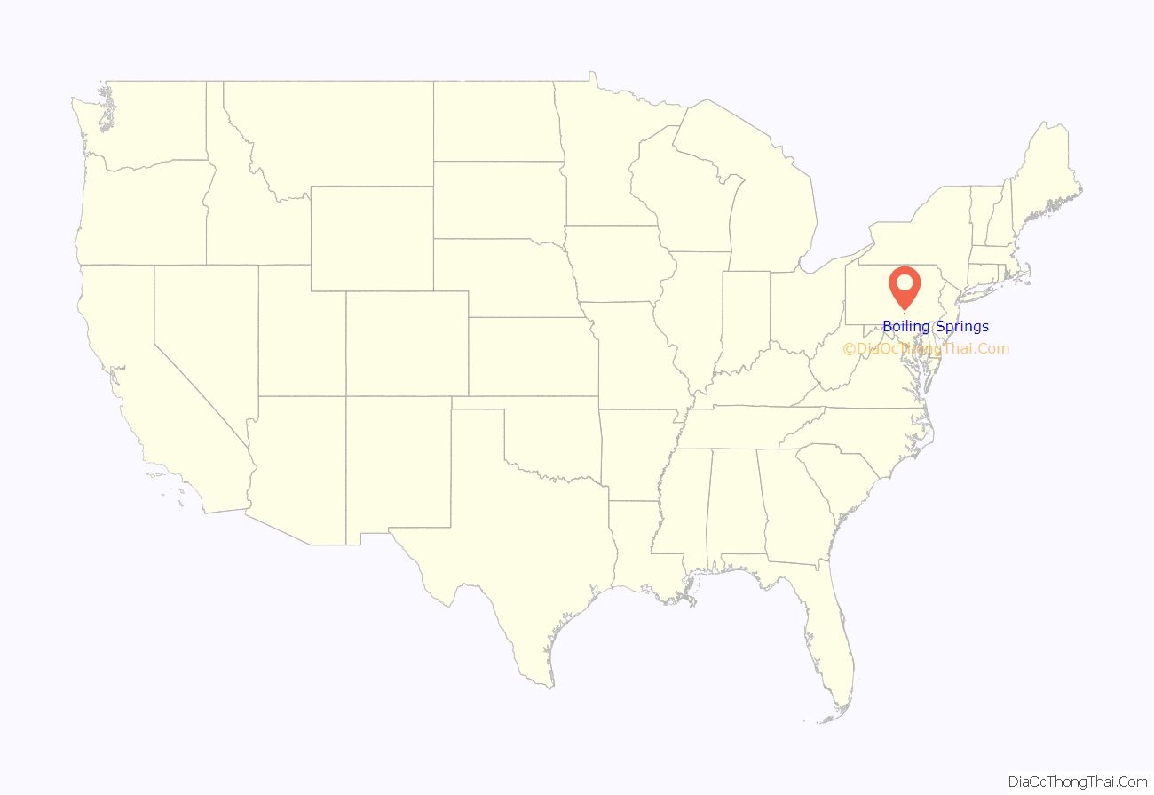
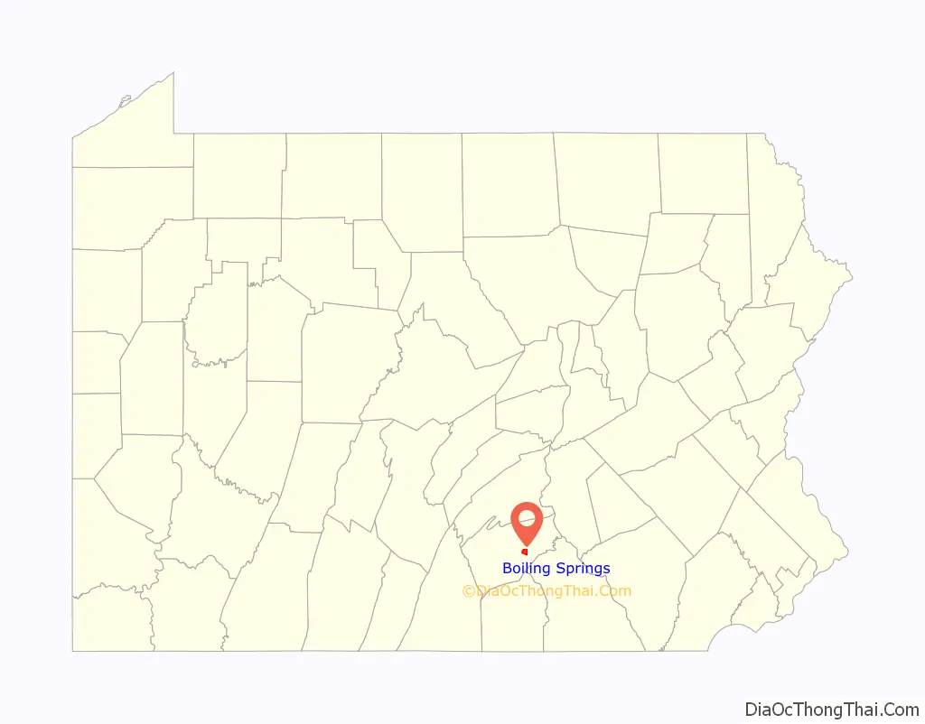
Boiling Springs location map. Where is Boiling Springs CDP?
History
Boiling Springs was settled by Europeans prior to 1737.
The springs were partially dammed in the 1750s to provide water power for iron production, with raw materials of iron ore, timber and limestone plentiful in the neighboring mountains. The Carlisle Iron Works was in full production by the 1760s, and a grist mill was built at the end of the lake in 1762. While the foundry’s iron was probably used to make ammunition and weapons for the Continental Army, no cannons were made.
Daniel Kaufman, who laid out the village of Boiling Springs in 1845, purchased 48 acres (19 ha) from his father, Abraham, in 1843. He built his 301 Front Street home in 1880.
Kaufman and Boiling Springs played a role in the Underground Railroad. Kaufman was an Underground Railroad agent from 1835 to 1847. The Underground Railroad asked him to set up a necessary stopover between Shippensburg and Harrisburg. Kaufman provided food and transportation to fugitive slaves passing through the area; his barn and a densely wooded area nearby served as shelter. Kaufman was sued by a Maryland slave owner in 1847 and convicted in Cumberland County, but the verdict was overturned by the state Supreme Court. He was then charged in U.S. District Court in Philadelphia and convicted. He was ultimately fined $4,000 in 1852, in a case that drew wide attention.
Boiling Springs is now part of the Network to Freedom, a series of noteworthy sites along the Underground Railroad.
The area around the lake was a recreation spot as early as 1875 when a steam launch began to operate to carry picnickers down the mill race to Island Grove, on Yellow Breeches Creek. In 1895, trolley car lines were added running from Carlisle and Harrisburg. The Valley Traction Company leased the lake in 1900 and built a park as a destination for passengers on their trolleys. Boiling Springs became a resort community, with travelers coming to picnic and boat on the lake, with such park attractions as a dance pavilion, picnic pavilion, miniature steam railway and a merry-go-round. The trolley was operated until around 1930.
The Boiling Springs Historic District was added to the National Register of Historic Places in 1984.
Episode #13 of the second season of the classic TV series Route 66 was set in and filmed in Boiling Springs. The episode was titled “Burning for Burning” and was first aired on December 29, 1961.
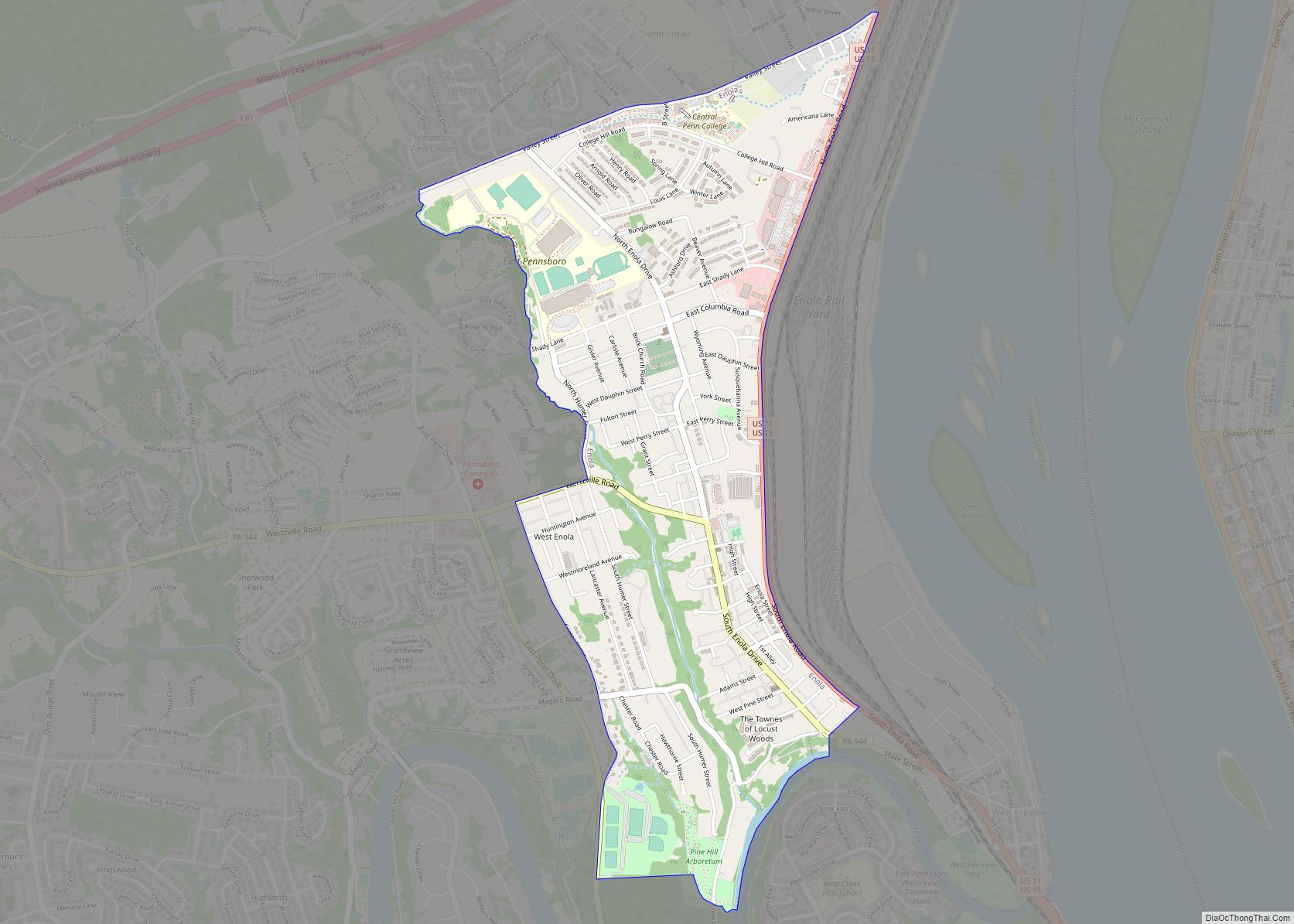
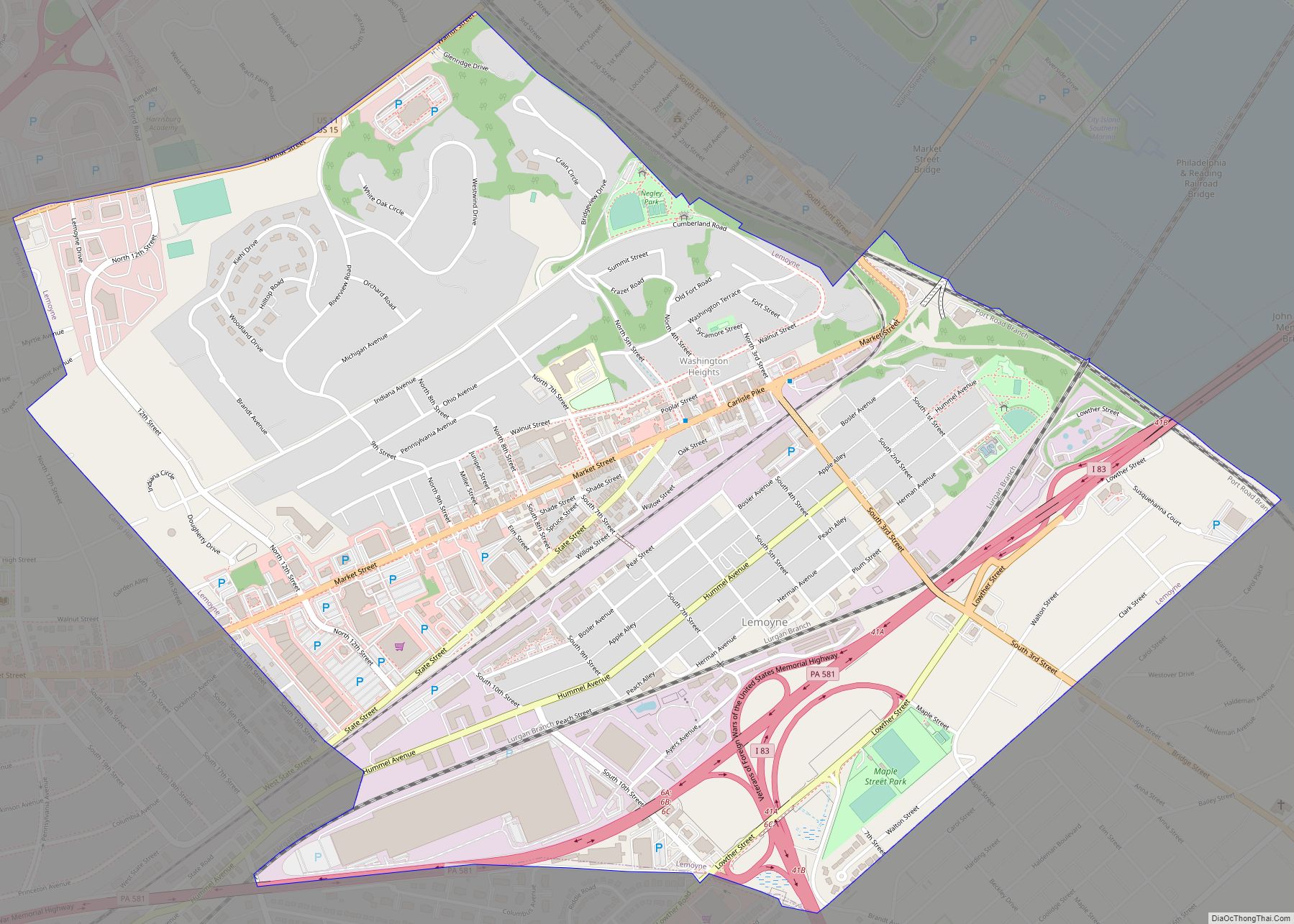
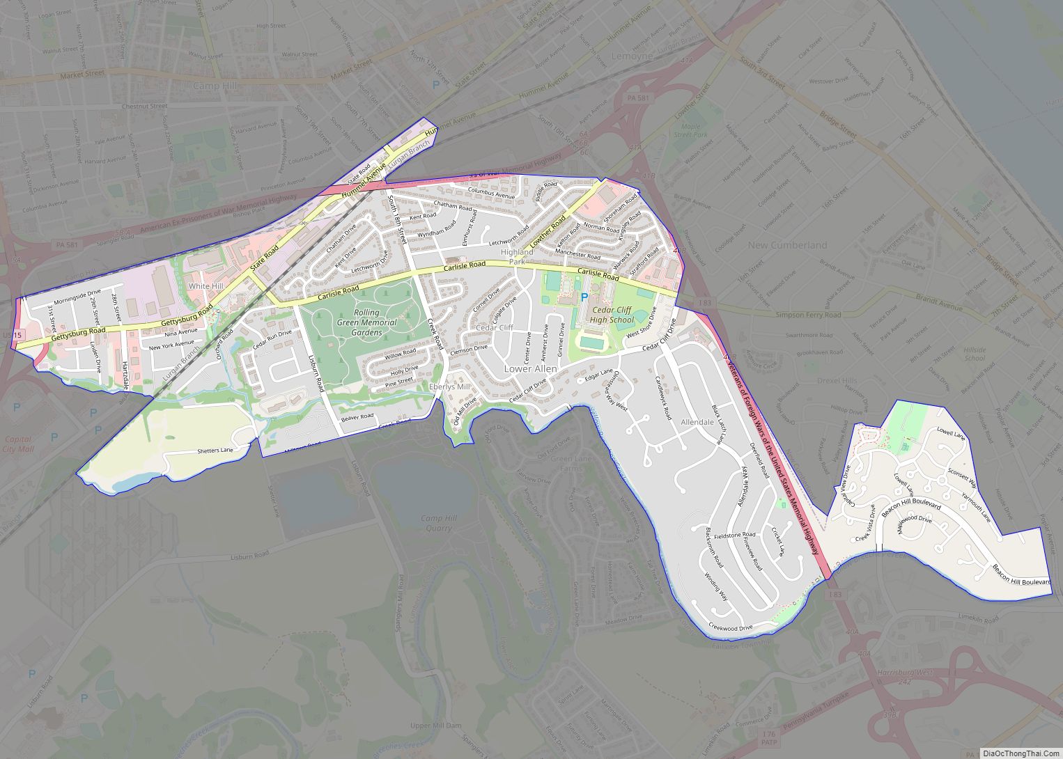
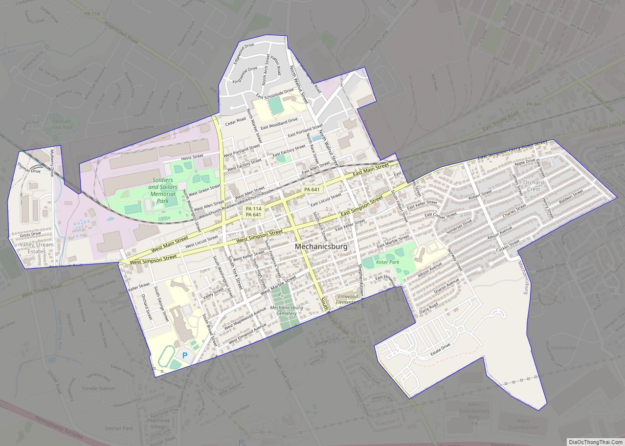
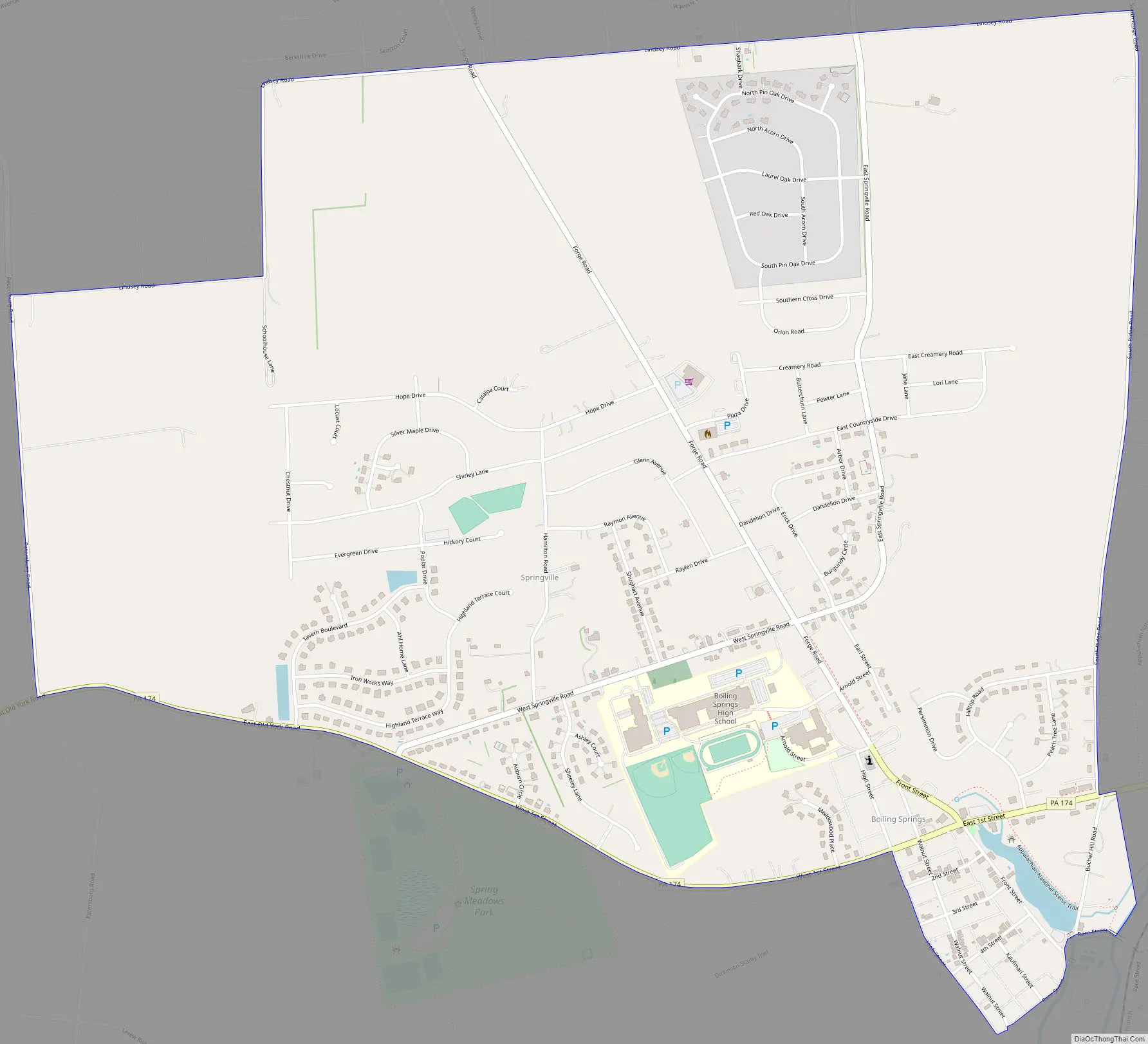
Boiling Springs Road Map
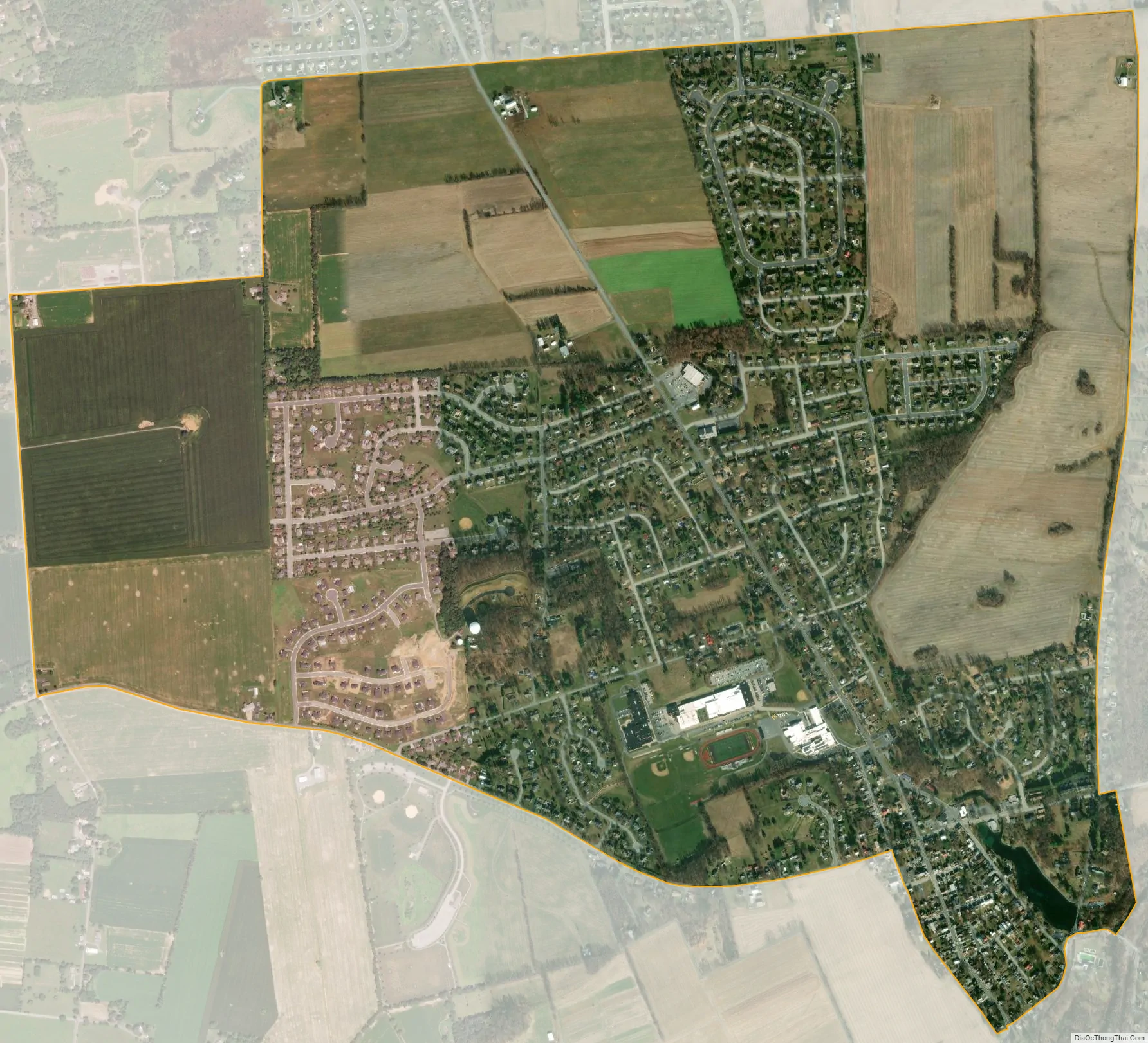
Boiling Springs city Satellite Map
See also
Map of Pennsylvania State and its subdivision:- Adams
- Allegheny
- Armstrong
- Beaver
- Bedford
- Berks
- Blair
- Bradford
- Bucks
- Butler
- Cambria
- Cameron
- Carbon
- Centre
- Chester
- Clarion
- Clearfield
- Clinton
- Columbia
- Crawford
- Cumberland
- Dauphin
- Delaware
- Elk
- Erie
- Fayette
- Forest
- Franklin
- Fulton
- Greene
- Huntingdon
- Indiana
- Jefferson
- Juniata
- Lackawanna
- Lancaster
- Lawrence
- Lebanon
- Lehigh
- Luzerne
- Lycoming
- Mc Kean
- Mercer
- Mifflin
- Monroe
- Montgomery
- Montour
- Northampton
- Northumberland
- Perry
- Philadelphia
- Pike
- Potter
- Schuylkill
- Snyder
- Somerset
- Sullivan
- Susquehanna
- Tioga
- Union
- Venango
- Warren
- Washington
- Wayne
- Westmoreland
- Wyoming
- York
- Alabama
- Alaska
- Arizona
- Arkansas
- California
- Colorado
- Connecticut
- Delaware
- District of Columbia
- Florida
- Georgia
- Hawaii
- Idaho
- Illinois
- Indiana
- Iowa
- Kansas
- Kentucky
- Louisiana
- Maine
- Maryland
- Massachusetts
- Michigan
- Minnesota
- Mississippi
- Missouri
- Montana
- Nebraska
- Nevada
- New Hampshire
- New Jersey
- New Mexico
- New York
- North Carolina
- North Dakota
- Ohio
- Oklahoma
- Oregon
- Pennsylvania
- Rhode Island
- South Carolina
- South Dakota
- Tennessee
- Texas
- Utah
- Vermont
- Virginia
- Washington
- West Virginia
- Wisconsin
- Wyoming