Brodheadsville is a census-designated place (CDP) in Monroe County, Pennsylvania, United States. The population was 1,700 at the 2020 census. The community is served by Pleasant Valley School District.
| Name: | Brodheadsville CDP |
|---|---|
| LSAD Code: | 57 |
| LSAD Description: | CDP (suffix) |
| State: | Pennsylvania |
| County: | Monroe County |
| Elevation: | 745 ft (227 m) |
| Total Area: | 4.32 sq mi (11.18 km²) |
| Land Area: | 4.28 sq mi (11.08 km²) |
| Water Area: | 0.04 sq mi (0.11 km²) |
| Total Population: | 1,700 |
| Population Density: | 397.57/sq mi (153.49/km²) |
| ZIP code: | 18322 |
| Area code: | 570 |
| FIPS code: | 4209000 |
Online Interactive Map
Click on ![]() to view map in "full screen" mode.
to view map in "full screen" mode.
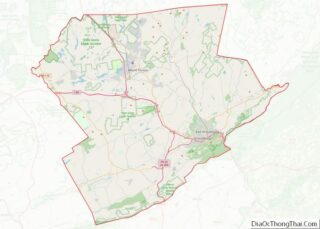
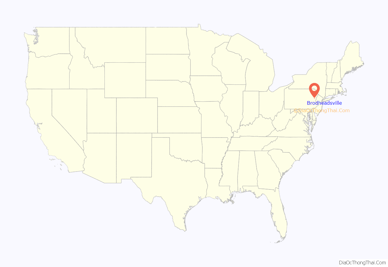
Brodheadsville location map. Where is Brodheadsville CDP?
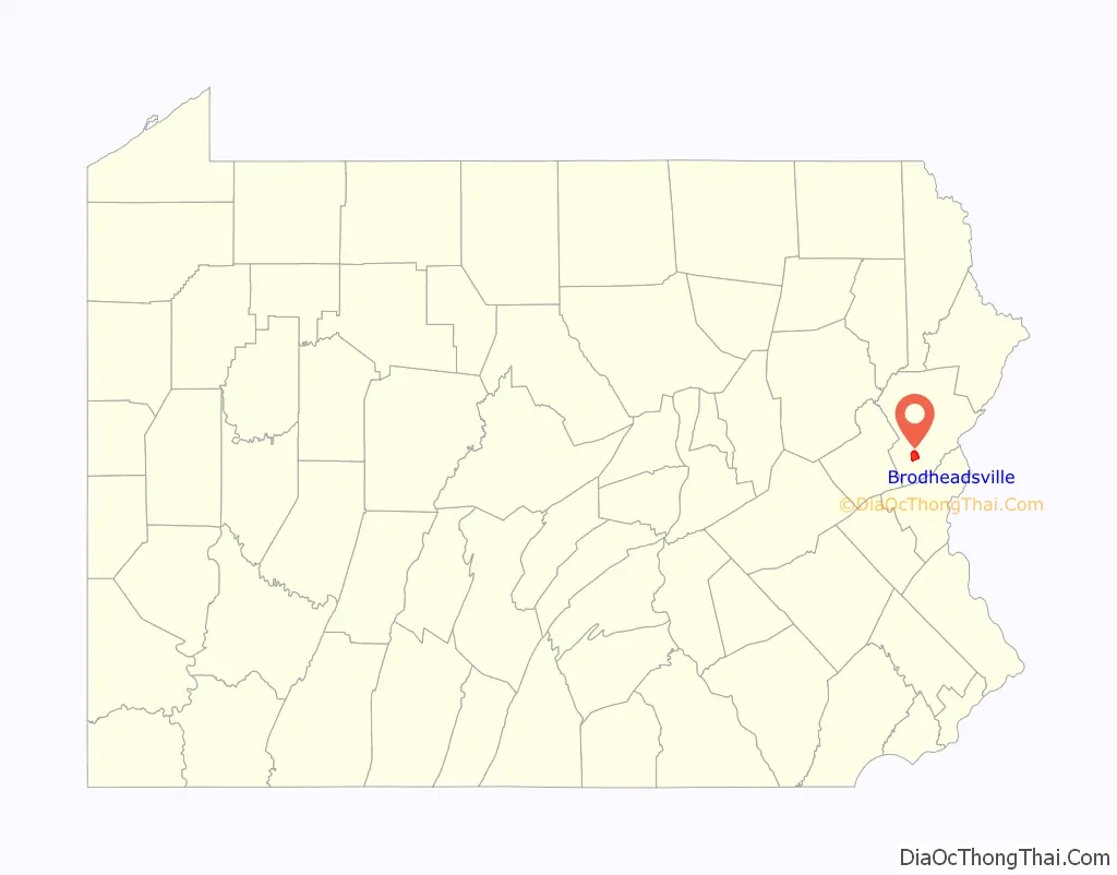
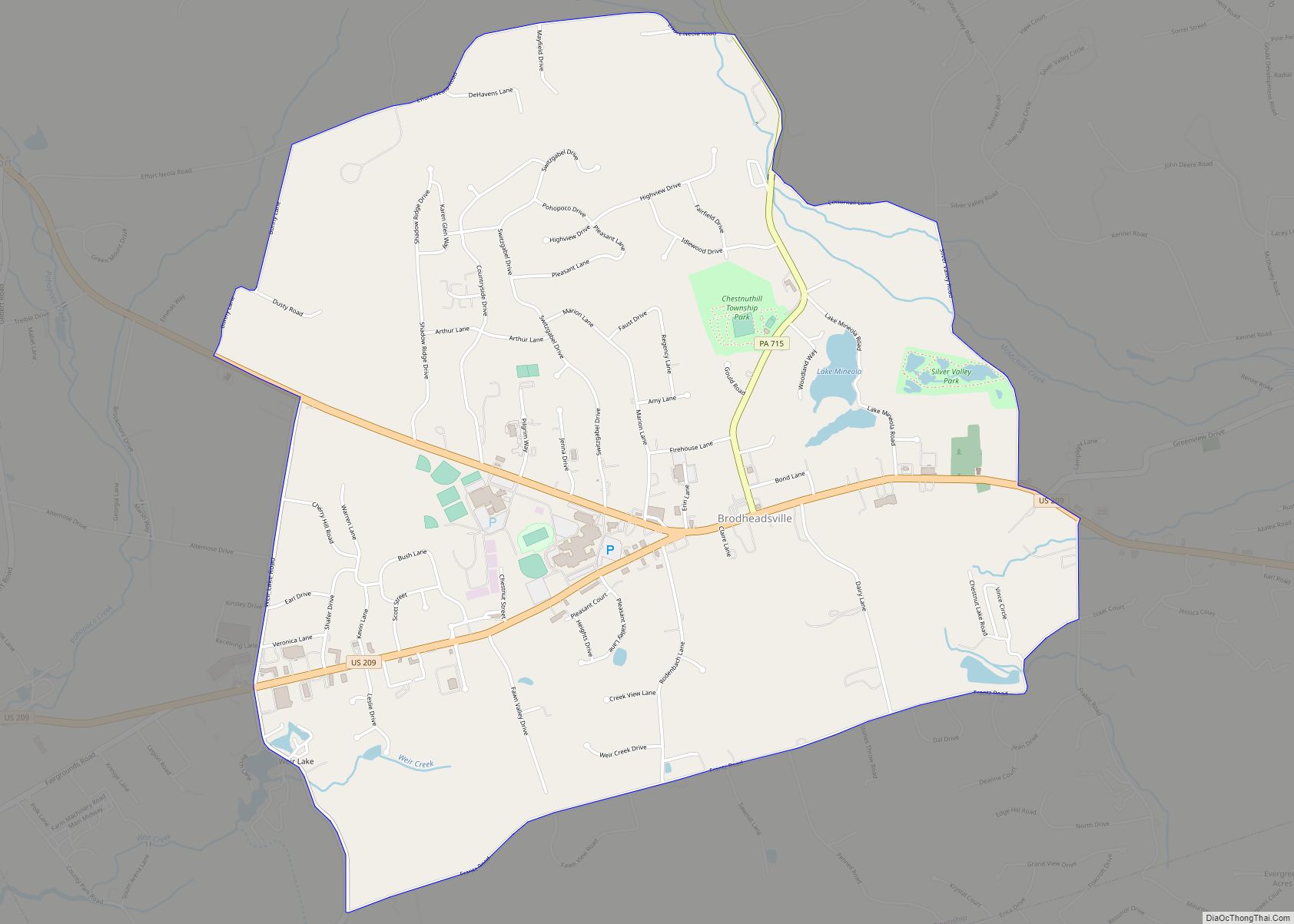
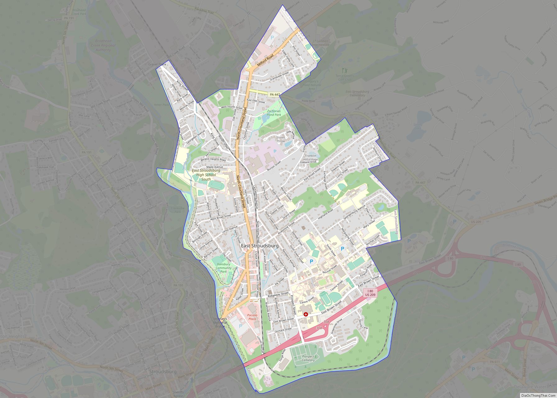
Brodheadsville Road Map
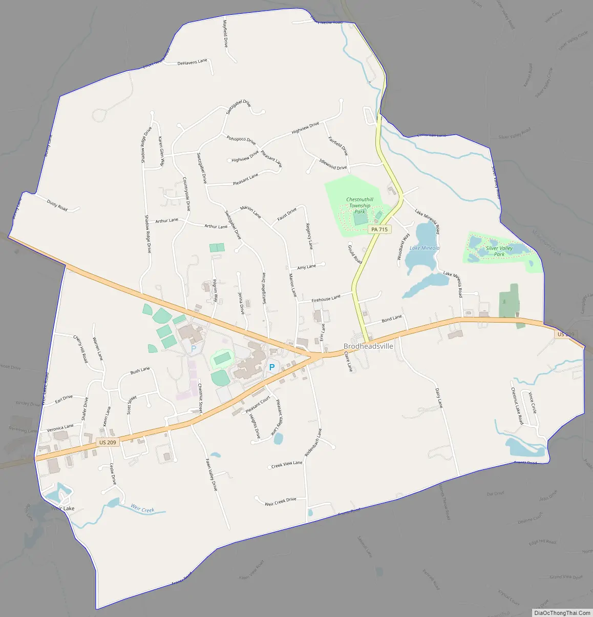
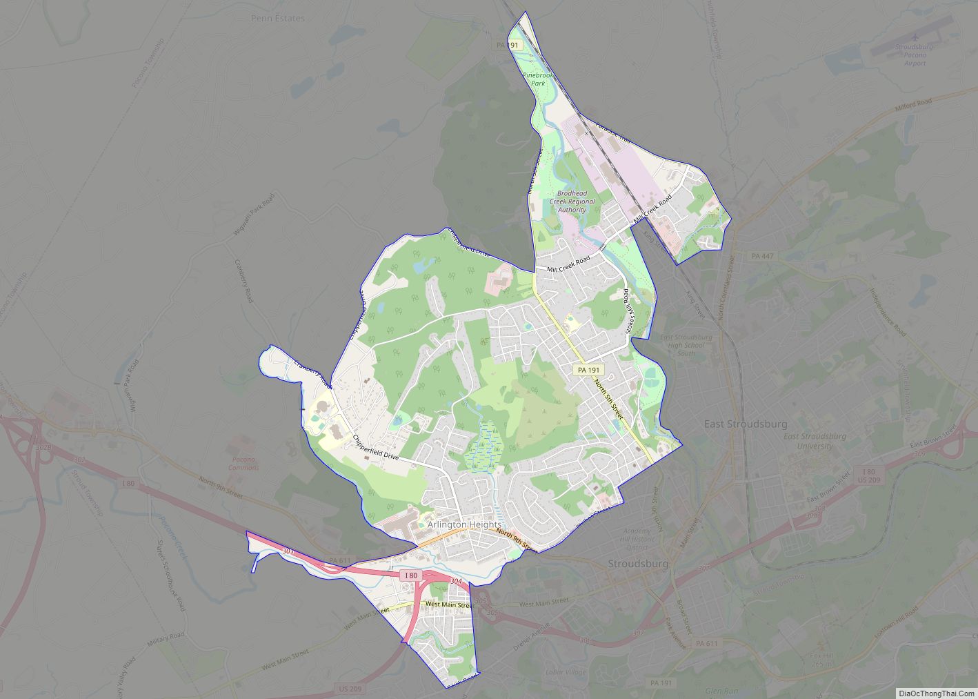
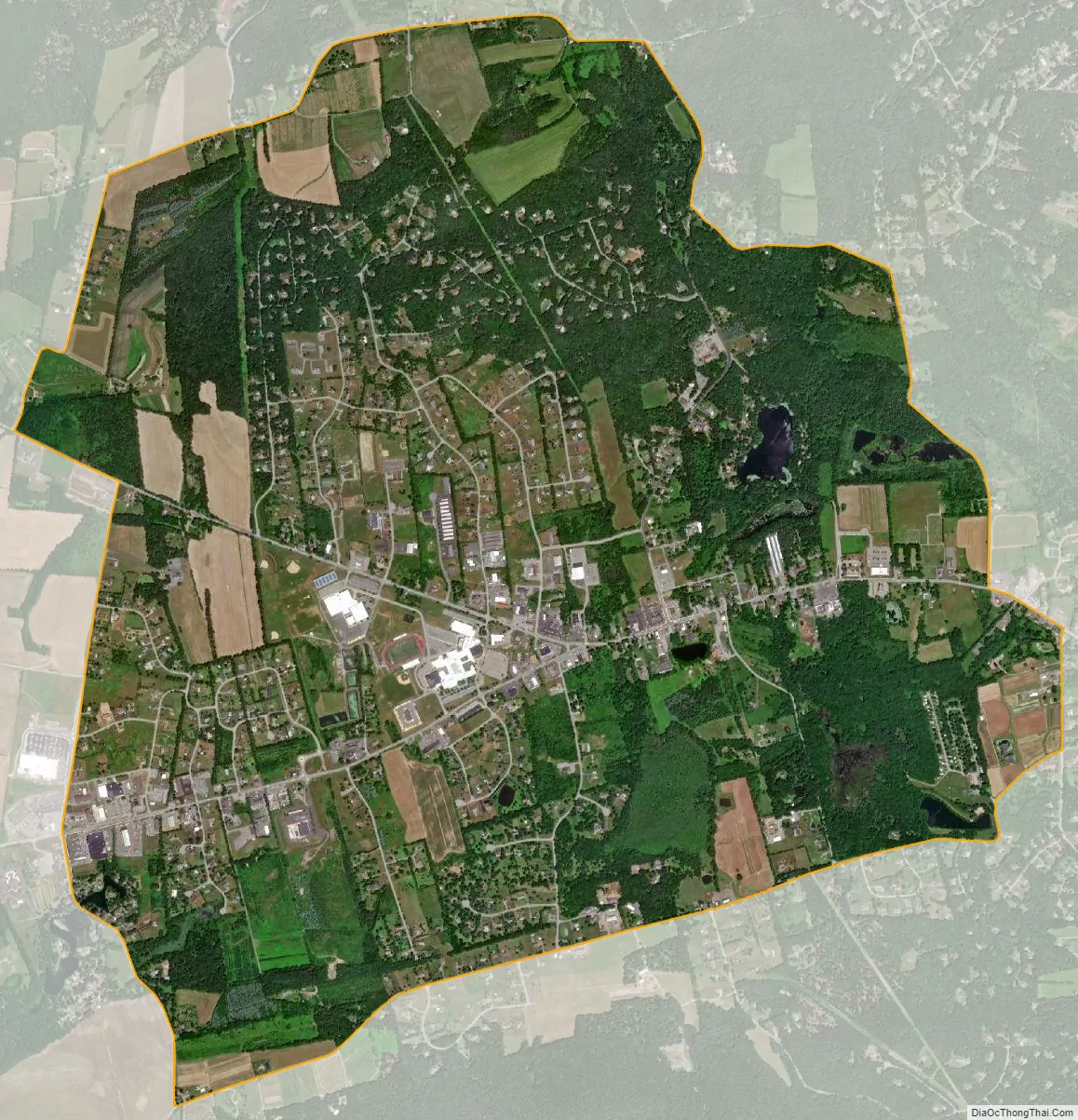
Brodheadsville city Satellite Map
Geography
Brodheadsville is located at 40°55′36″N 75°24′17″W / 40.92667°N 75.40472°W / 40.92667; -75.40472 (40.926724, -75.404707).
According to the United States Census Bureau, the CDP has a total area of 4.3 square miles (11 km), of which 4.3 square miles (11.1 km) is land and 0.04 square miles (0.10 km) (0.93%) is water.
Pennsylvania Route 115 and 715’s southern termini are on U.S. Route 209 in Brodheadsville. Route 115 provides access from Wilkes-Barre and 715 provides access from Henryville, while U.S. 209 provides access from Lehighton and Stroudsburg.
See also
Map of Pennsylvania State and its subdivision:- Adams
- Allegheny
- Armstrong
- Beaver
- Bedford
- Berks
- Blair
- Bradford
- Bucks
- Butler
- Cambria
- Cameron
- Carbon
- Centre
- Chester
- Clarion
- Clearfield
- Clinton
- Columbia
- Crawford
- Cumberland
- Dauphin
- Delaware
- Elk
- Erie
- Fayette
- Forest
- Franklin
- Fulton
- Greene
- Huntingdon
- Indiana
- Jefferson
- Juniata
- Lackawanna
- Lancaster
- Lawrence
- Lebanon
- Lehigh
- Luzerne
- Lycoming
- Mc Kean
- Mercer
- Mifflin
- Monroe
- Montgomery
- Montour
- Northampton
- Northumberland
- Perry
- Philadelphia
- Pike
- Potter
- Schuylkill
- Snyder
- Somerset
- Sullivan
- Susquehanna
- Tioga
- Union
- Venango
- Warren
- Washington
- Wayne
- Westmoreland
- Wyoming
- York
- Alabama
- Alaska
- Arizona
- Arkansas
- California
- Colorado
- Connecticut
- Delaware
- District of Columbia
- Florida
- Georgia
- Hawaii
- Idaho
- Illinois
- Indiana
- Iowa
- Kansas
- Kentucky
- Louisiana
- Maine
- Maryland
- Massachusetts
- Michigan
- Minnesota
- Mississippi
- Missouri
- Montana
- Nebraska
- Nevada
- New Hampshire
- New Jersey
- New Mexico
- New York
- North Carolina
- North Dakota
- Ohio
- Oklahoma
- Oregon
- Pennsylvania
- Rhode Island
- South Carolina
- South Dakota
- Tennessee
- Texas
- Utah
- Vermont
- Virginia
- Washington
- West Virginia
- Wisconsin
- Wyoming