Burlington is a borough in Bradford County, Pennsylvania, United States. It is part of Northeastern Pennsylvania. The population was 145 at the 2020 census. Children residing in the township are assigned to attend the Troy Area School District.
| Name: | Burlington borough |
|---|---|
| LSAD Code: | 21 |
| LSAD Description: | borough (suffix) |
| State: | Pennsylvania |
| County: | Bradford County |
| Incorporated: | 1854 |
| Elevation: | 1,138 ft (347 m) |
| Total Area: | 0.60 sq mi (1.54 km²) |
| Land Area: | 0.58 sq mi (1.52 km²) |
| Water Area: | 0.01 sq mi (0.03 km²) |
| Total Population: | 144 |
| Population Density: | 246.15/sq mi (94.96/km²) |
| Area code: | 570 |
| FIPS code: | 4210240 |
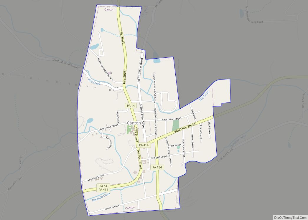
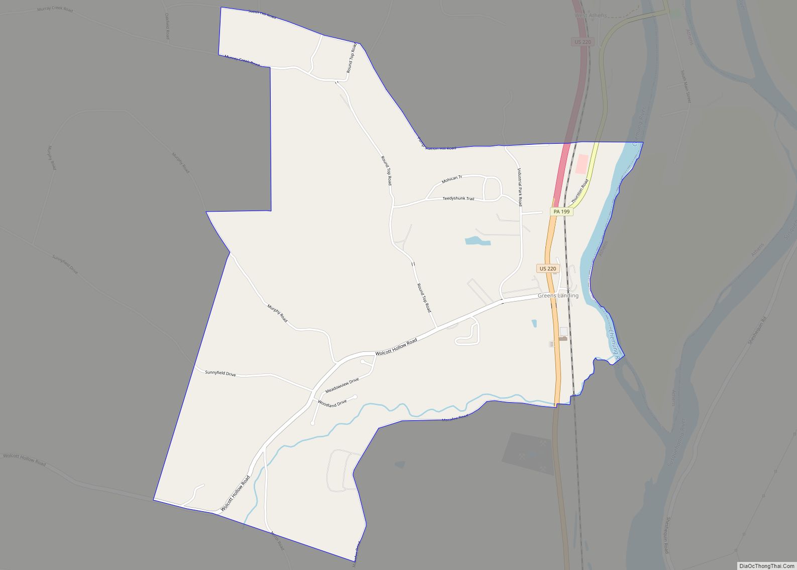
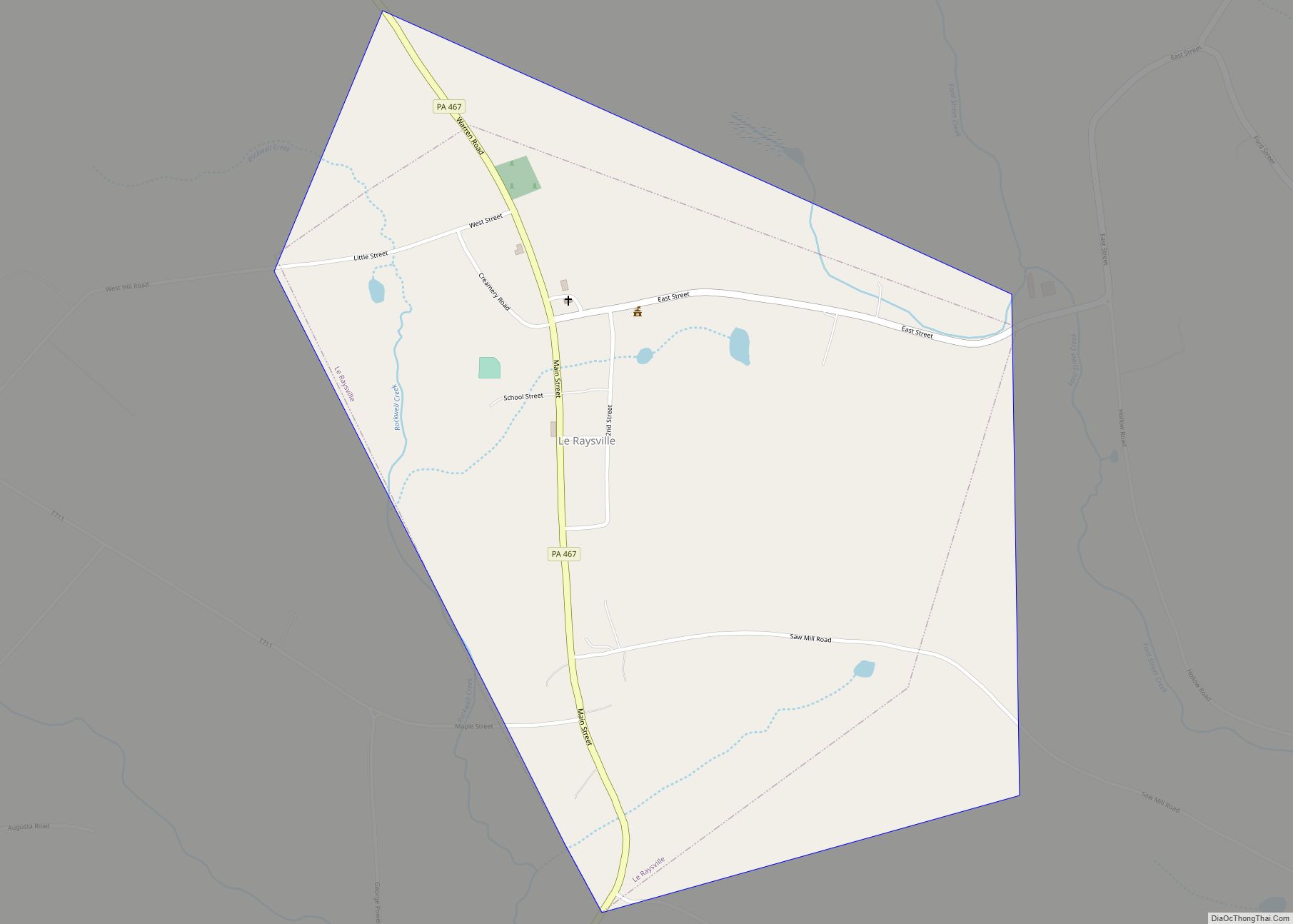
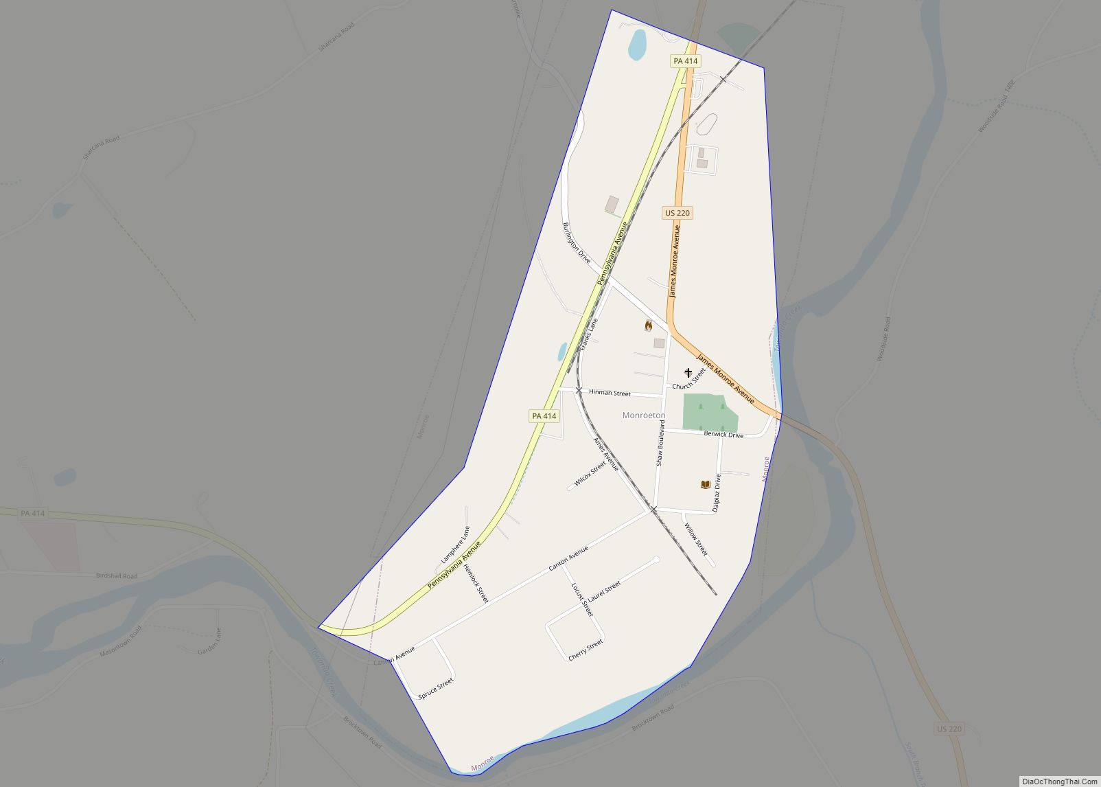
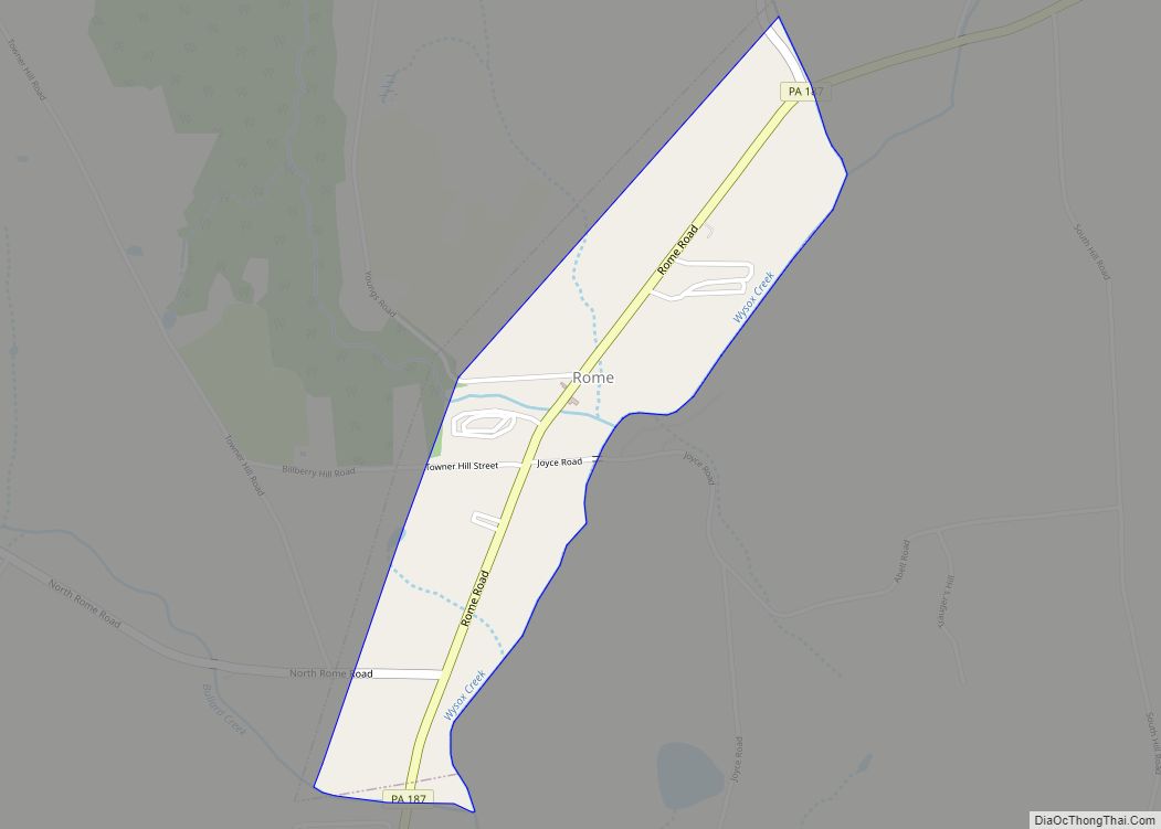
Online Interactive Map
Click on ![]() to view map in "full screen" mode.
to view map in "full screen" mode.
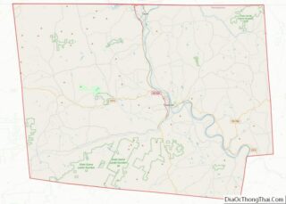
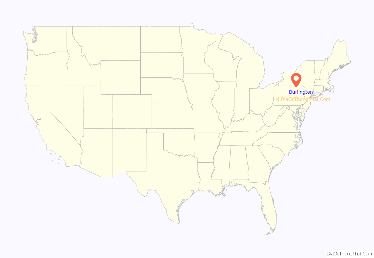
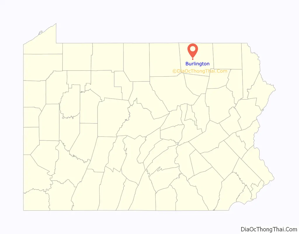
Burlington location map. Where is Burlington borough?
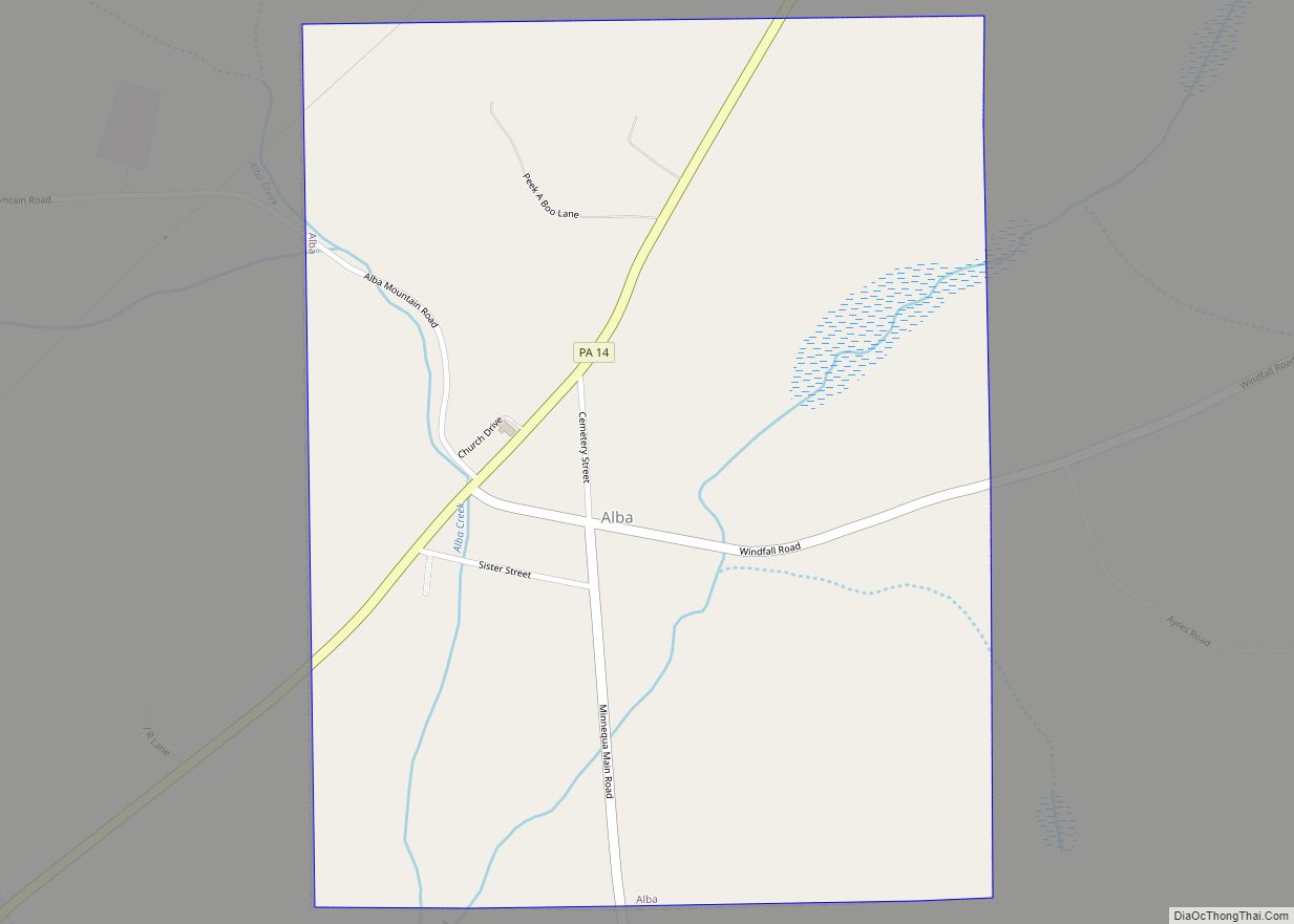
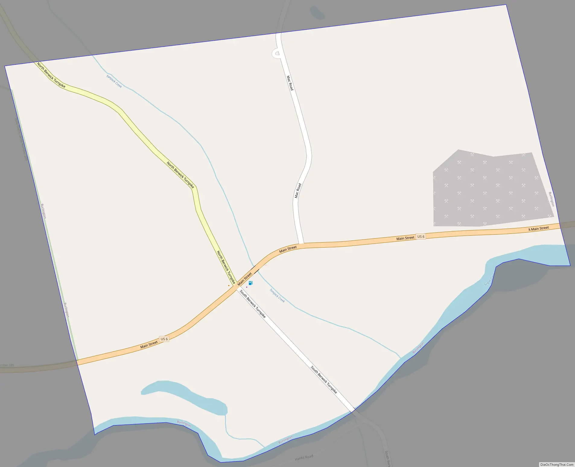
Burlington Road Map
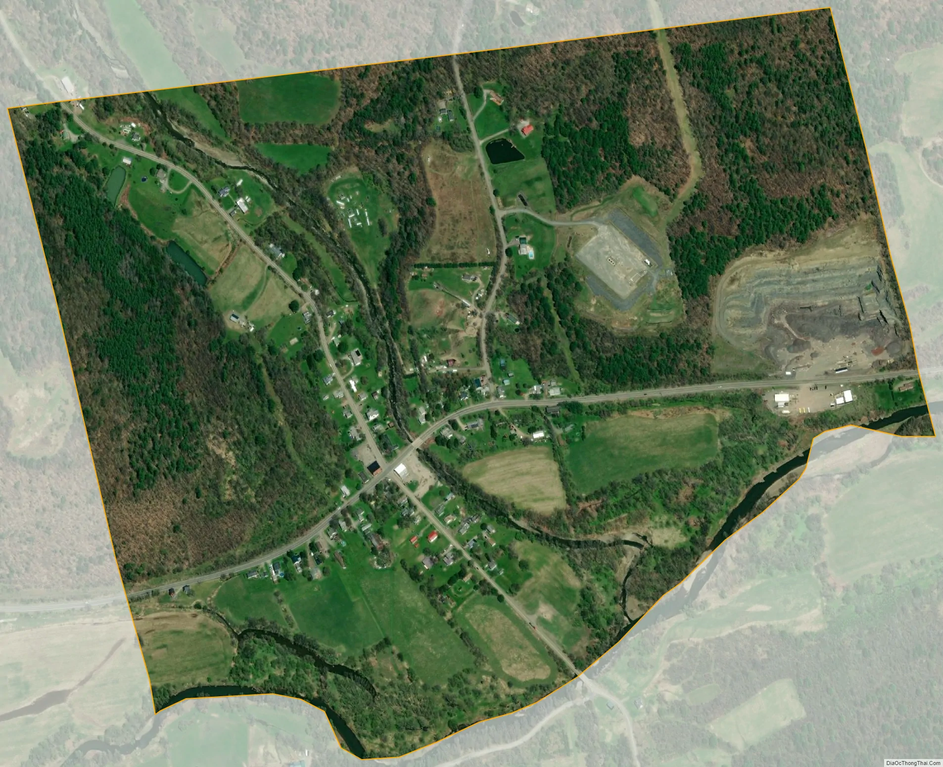
Burlington city Satellite Map
Geography
Burlington is located in central Bradford County at 41°46′58″N 76°36′31″W / 41.78278°N 76.60861°W / 41.78278; -76.60861 (41.782906, -76.608549), on the north bank of Sugar Creek, a tributary of the Susquehanna River. It is bordered on the north, east, and south by Burlington Township and on the west by West Burlington Township.
U.S. Route 6 passes through the center of the borough, leading east 10 miles (16 km) to Towanda, the county seat, and west 10 miles (16 km) to Troy.
According to the United States Census Bureau, Burlington has a total area of 0.58 square miles (1.5 km), of which 0.02 square miles (0.04 km), or 2.40%, is water.
See also
Map of Pennsylvania State and its subdivision:- Adams
- Allegheny
- Armstrong
- Beaver
- Bedford
- Berks
- Blair
- Bradford
- Bucks
- Butler
- Cambria
- Cameron
- Carbon
- Centre
- Chester
- Clarion
- Clearfield
- Clinton
- Columbia
- Crawford
- Cumberland
- Dauphin
- Delaware
- Elk
- Erie
- Fayette
- Forest
- Franklin
- Fulton
- Greene
- Huntingdon
- Indiana
- Jefferson
- Juniata
- Lackawanna
- Lancaster
- Lawrence
- Lebanon
- Lehigh
- Luzerne
- Lycoming
- Mc Kean
- Mercer
- Mifflin
- Monroe
- Montgomery
- Montour
- Northampton
- Northumberland
- Perry
- Philadelphia
- Pike
- Potter
- Schuylkill
- Snyder
- Somerset
- Sullivan
- Susquehanna
- Tioga
- Union
- Venango
- Warren
- Washington
- Wayne
- Westmoreland
- Wyoming
- York
- Alabama
- Alaska
- Arizona
- Arkansas
- California
- Colorado
- Connecticut
- Delaware
- District of Columbia
- Florida
- Georgia
- Hawaii
- Idaho
- Illinois
- Indiana
- Iowa
- Kansas
- Kentucky
- Louisiana
- Maine
- Maryland
- Massachusetts
- Michigan
- Minnesota
- Mississippi
- Missouri
- Montana
- Nebraska
- Nevada
- New Hampshire
- New Jersey
- New Mexico
- New York
- North Carolina
- North Dakota
- Ohio
- Oklahoma
- Oregon
- Pennsylvania
- Rhode Island
- South Carolina
- South Dakota
- Tennessee
- Texas
- Utah
- Vermont
- Virginia
- Washington
- West Virginia
- Wisconsin
- Wyoming