Towanda is a borough and the county seat of Bradford County in the U.S. state of Pennsylvania. It is part of Northeastern Pennsylvania and is located 66 miles (106 km) northwest of Wilkes-Barre, on the Susquehanna River. The name means “burial ground” in the Algonquian language. As of the 2020 census, the population of Towanda was 2,833.
| Name: | Towanda borough |
|---|---|
| LSAD Code: | 21 |
| LSAD Description: | borough (suffix) |
| State: | Pennsylvania |
| County: | Bradford County |
| Incorporated: | 1828 |
| Elevation: | 731 ft (223 m) |
| Total Area: | 1.17 sq mi (3.03 km²) |
| Land Area: | 1.14 sq mi (2.95 km²) |
| Water Area: | 0.03 sq mi (0.08 km²) |
| Total Population: | 2,919 |
| Population Density: | 2,469.24/sq mi (953.14/km²) |
| Area code: | 570 |
| FIPS code: | 4277168 |
| Website: | towandaborough.org |
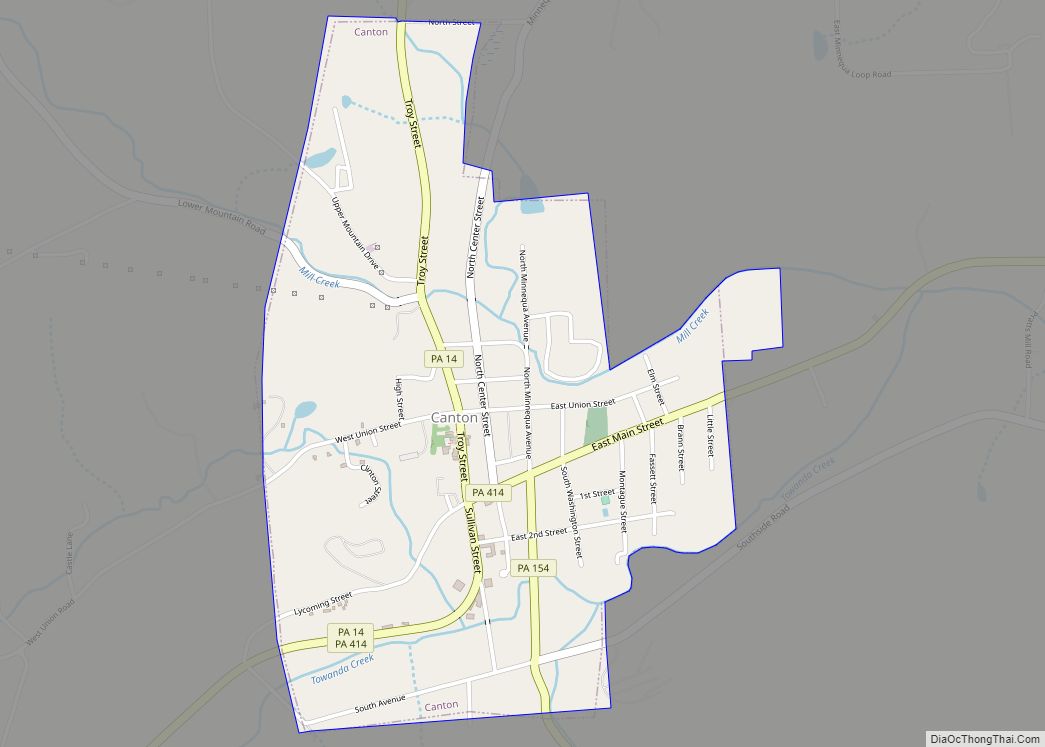
Online Interactive Map
Click on ![]() to view map in "full screen" mode.
to view map in "full screen" mode.
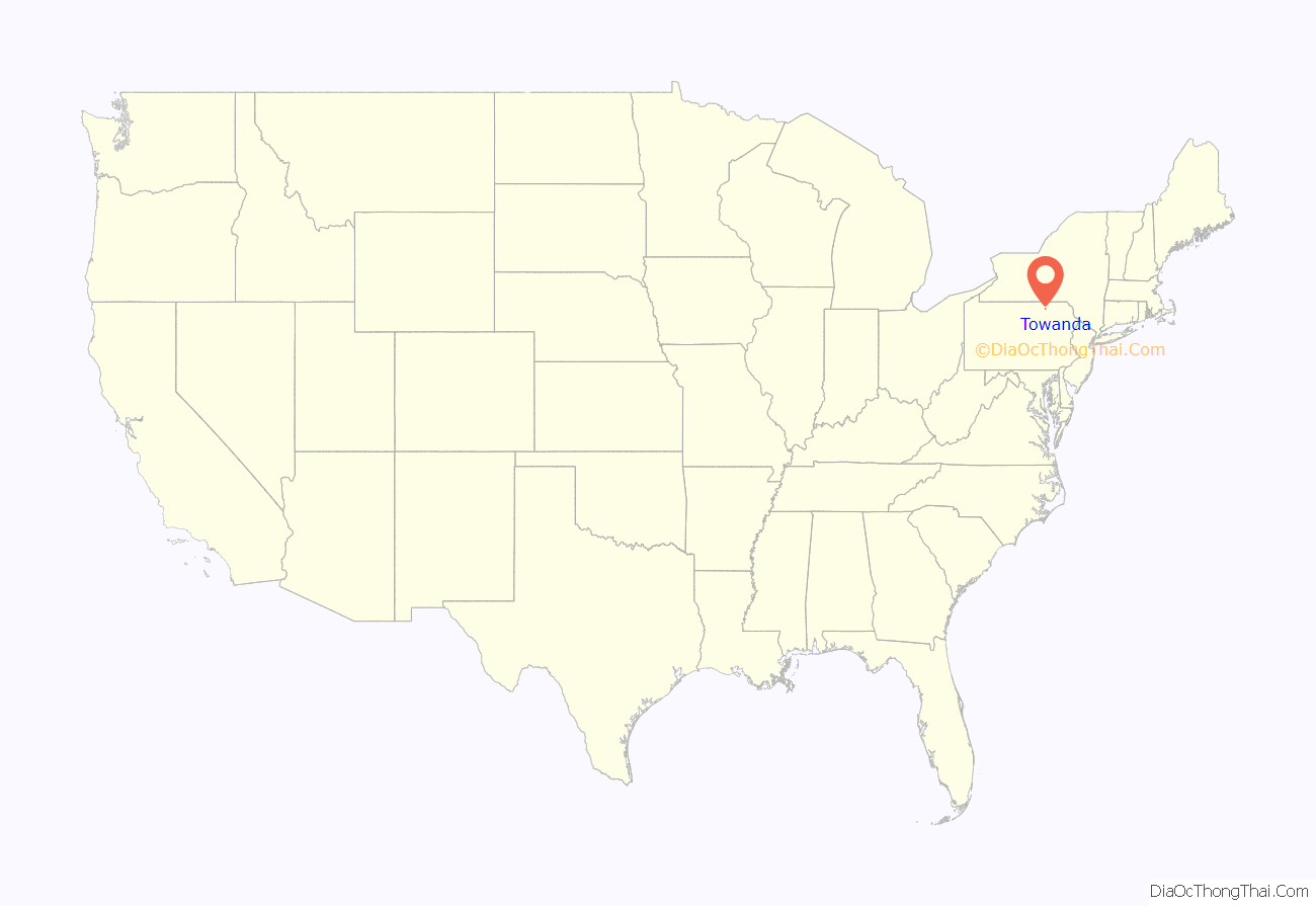
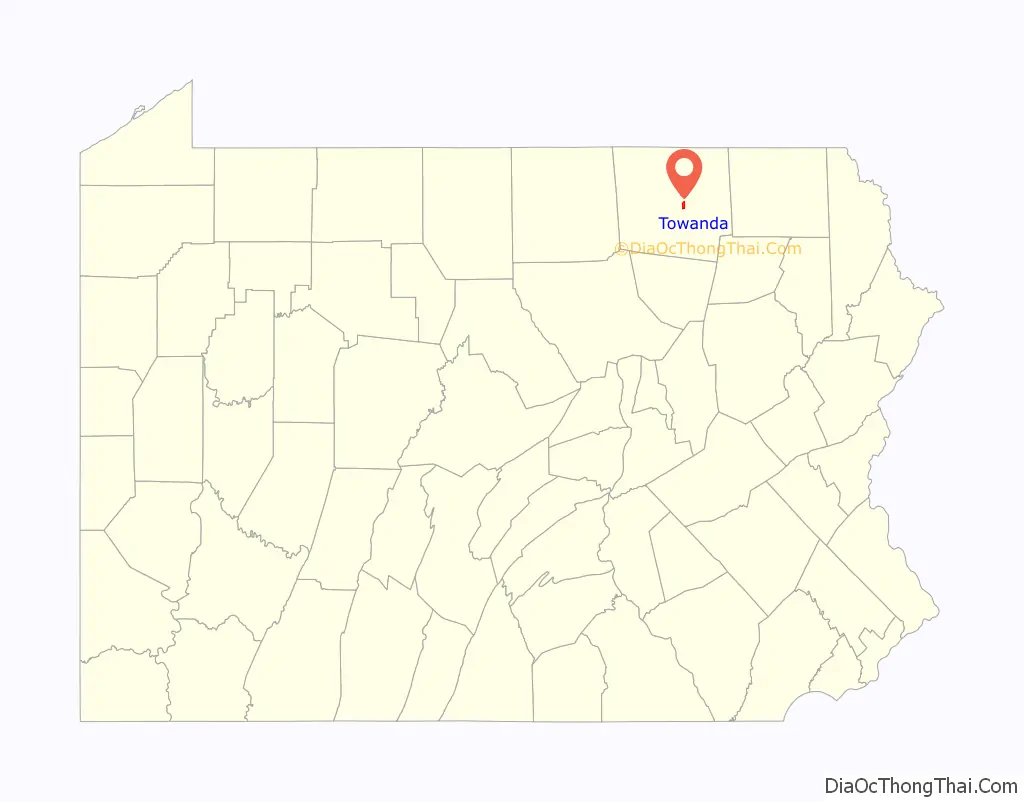
Towanda location map. Where is Towanda borough?
History
Towanda was settled in 1784 and became the county seat in 1812. It was variously known for some years as Meansville, Overton, Williamson, Monmouth and Towanda, and incorporated in 1828. Towanda was once known primarily for its industrial interests, which included flour, planing and silk mills, a foundry and machine shop, dye works, and manufacturers of talking machines, cut glass, toys and furniture. The population in 1900 was 4,663 and 4,281 in 1910.
The Towanda Historic District and Bradford County Courthouse are listed on the National Register of Historic Places. The Pennsylvania Guide, compiled by the Writers’ Program of the Works Progress Administration, described Towanda in 1940 as:
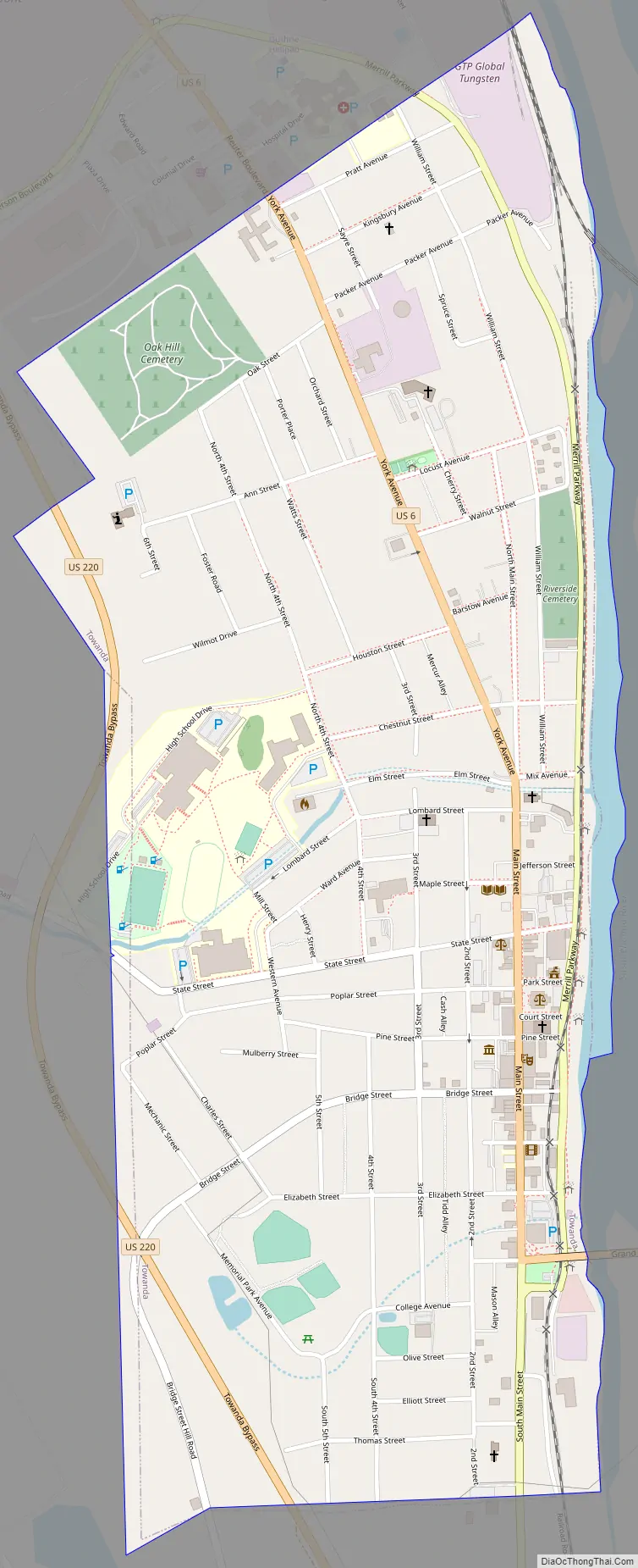
Towanda Road Map
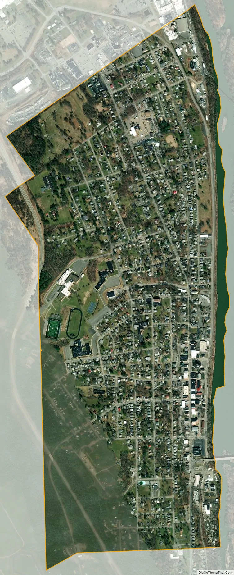
Towanda city Satellite Map
Geography
Towanda is located near the center of Bradford County at 41°46′13″N 76°26′48″W / 41.77028°N 76.44667°W / 41.77028; -76.44667 (41.770251, −76.446545), at approximately 730 ft. above sea level, on the west bank of the Susquehanna River. It is bordered to the north and west by North Towanda Township, to the south and west by Towanda Township, and to the east, across the river, by Wysox Township.
U.S. Route 6 passes through the center of the borough, leading southeast 39 miles (63 km) to Tunkhannock and 60 miles (97 km) to the Scranton area, and west 37 miles (60 km) to Mansfield. U.S. Route 220 bypasses the borough to the west and leads north 18 miles (29 km) to its terminus at Waverly, New York and southwest 67 miles (108 km) to Williamsport.
According to the U.S. Census Bureau, the borough has a total area of 1.2 square miles (3.0 km), of which 0.03 square miles (0.08 km), or 2.55%, is water.
Climate
Towanda has a humid continental climate, with cold winters and warm to hot summers.
See also
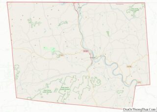
Map of Pennsylvania State and its subdivision:- Adams
- Allegheny
- Armstrong
- Beaver
- Bedford
- Berks
- Blair
- Bradford
- Bucks
- Butler
- Cambria
- Cameron
- Carbon
- Centre
- Chester
- Clarion
- Clearfield
- Clinton
- Columbia
- Crawford
- Cumberland
- Dauphin
- Delaware
- Elk
- Erie
- Fayette
- Forest
- Franklin
- Fulton
- Greene
- Huntingdon
- Indiana
- Jefferson
- Juniata
- Lackawanna
- Lancaster
- Lawrence
- Lebanon
- Lehigh
- Luzerne
- Lycoming
- Mc Kean
- Mercer
- Mifflin
- Monroe
- Montgomery
- Montour
- Northampton
- Northumberland
- Perry
- Philadelphia
- Pike
- Potter
- Schuylkill
- Snyder
- Somerset
- Sullivan
- Susquehanna
- Tioga
- Union
- Venango
- Warren
- Washington
- Wayne
- Westmoreland
- Wyoming
- York
- Alabama
- Alaska
- Arizona
- Arkansas
- California
- Colorado
- Connecticut
- Delaware
- District of Columbia
- Florida
- Georgia
- Hawaii
- Idaho
- Illinois
- Indiana
- Iowa
- Kansas
- Kentucky
- Louisiana
- Maine
- Maryland
- Massachusetts
- Michigan
- Minnesota
- Mississippi
- Missouri
- Montana
- Nebraska
- Nevada
- New Hampshire
- New Jersey
- New Mexico
- New York
- North Carolina
- North Dakota
- Ohio
- Oklahoma
- Oregon
- Pennsylvania
- Rhode Island
- South Carolina
- South Dakota
- Tennessee
- Texas
- Utah
- Vermont
- Virginia
- Washington
- West Virginia
- Wisconsin
- Wyoming