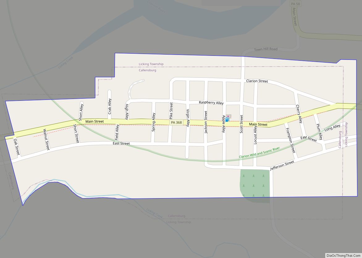
Callensburg is a borough in Clarion County, Pennsylvania, United States. The population was 207 at the 2010 census.
| Name: | Callensburg borough |
|---|---|
| LSAD Code: | 21 |
| LSAD Description: | borough (suffix) |
| State: | Pennsylvania |
| County: | Clarion County |
| Incorporated: | 1851 |
| Elevation: | 1,110 ft (340 m) |
| Total Area: | 0.14 sq mi (0.37 km²) |
| Land Area: | 0.14 sq mi (0.37 km²) |
| Water Area: | 0.00 sq mi (0.00 km²) |
| Total Population: | 150 |
| Population Density: | 1,034.48/sq mi (400.65/km²) |
| ZIP code: | 16213 |
| FIPS code: | 4210792 |
Online Interactive Map
Click on ![]() to view map in "full screen" mode.
to view map in "full screen" mode.
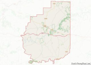
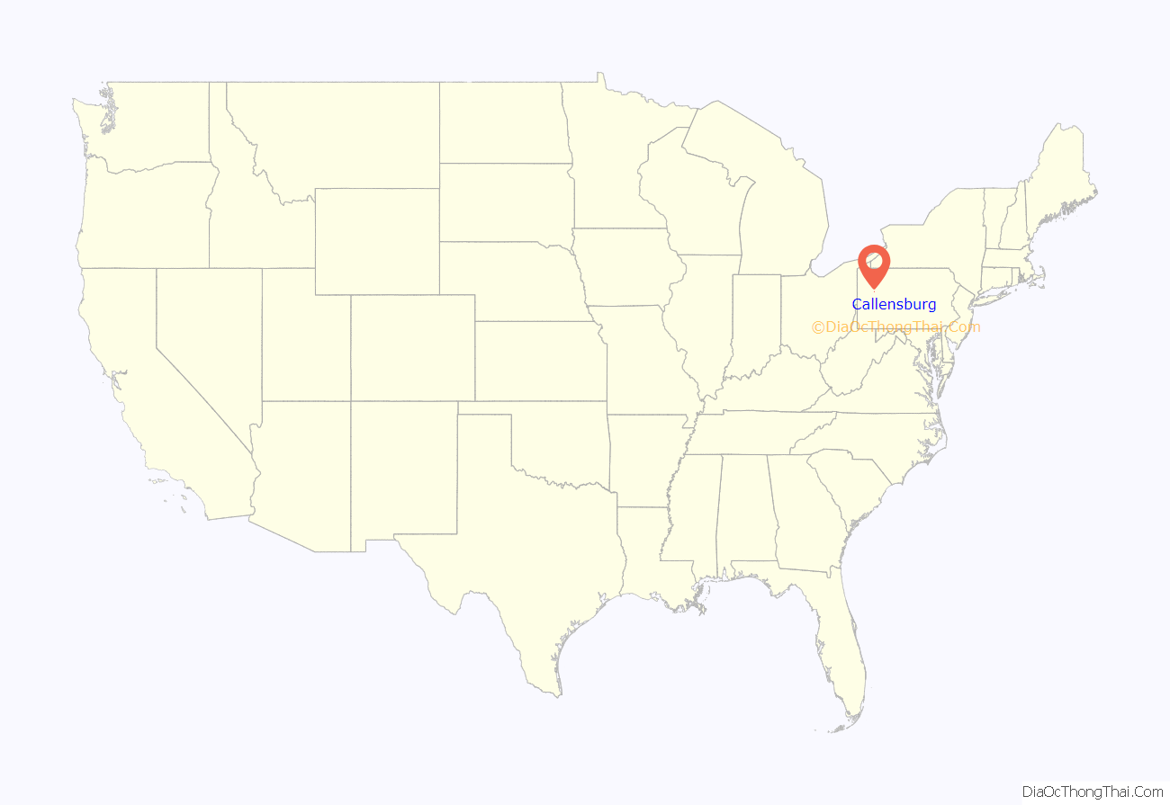
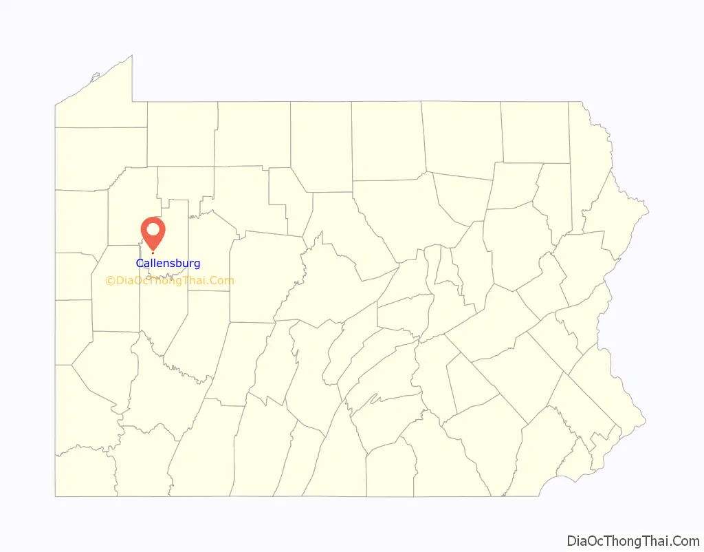
Callensburg location map. Where is Callensburg borough?
History
Callensburg was surveyed in 1826, by Hugh Callen, Sr., who commissioned a young surveyor named Sidle Lobaugh to lay out a town on part of the 300 acres he had purchased in 1812. Callen anticipated the building of the Pennsylvania Canal through that region, and while the eventual route of the canal did not pass near Callensburg, the area still attracted enough settlers to form a borough. It was incorporated in 1851, and held the first town election on March 21, 1851.
In laying out the town, Mr. Callen reserved three acres for building a Presbyterian Church and cemetery, and deeded an open lot north of Main street, where the town spring was located, to the town. He built his house south of Licking Township, where local legend claimed there was a large poplar tree:
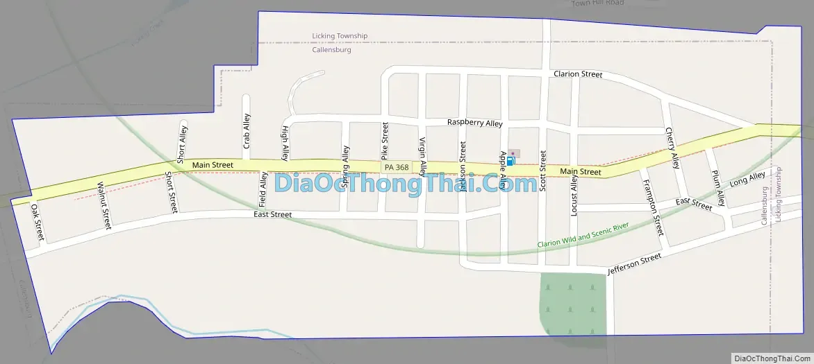
Callensburg Road Map
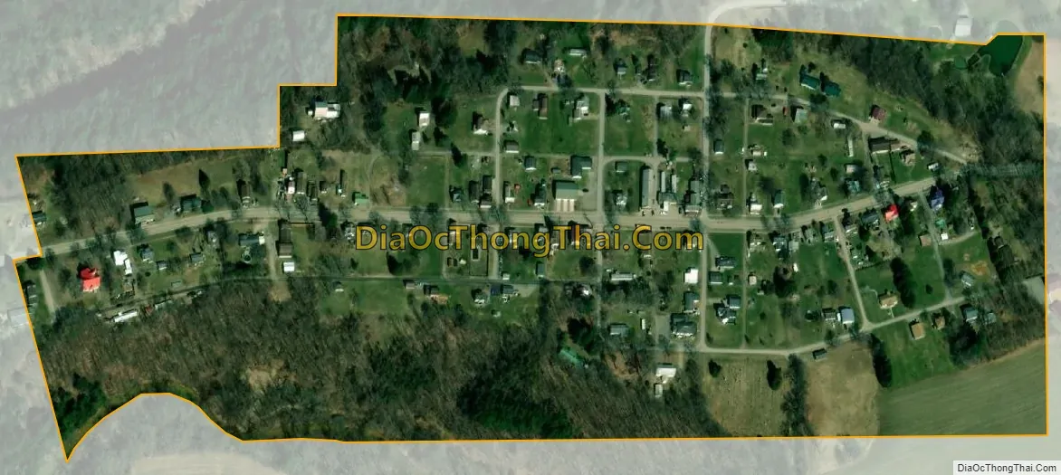
Callensburg city Satellite Map
Geography
Callensburg is located in western Clarion County at 41°7′33″N 79°33′28″W / 41.12583°N 79.55778°W / 41.12583; -79.55778 (41.125698, -79.557682). It is situated on a hill overlooking the confluence of Licking Creek with the Clarion River, part of the Allegheny River watershed.
Pennsylvania Route 368 passes through the center of Callensburg, leading west 7 miles (11 km) to Parker on the Allegheny River. Just east of Callensburg, PA 368 ends at Pennsylvania Route 58, which leads east 3 miles (5 km) to Sligo and northwest 7 miles (11 km) to St. Petersburg, which is 2 miles (3 km) south of Interstate 80.
According to the United States Census Bureau, Callensburg has a total area of 0.2 square miles (0.4 km), all land.
See also
Map of Pennsylvania State and its subdivision:- Adams
- Allegheny
- Armstrong
- Beaver
- Bedford
- Berks
- Blair
- Bradford
- Bucks
- Butler
- Cambria
- Cameron
- Carbon
- Centre
- Chester
- Clarion
- Clearfield
- Clinton
- Columbia
- Crawford
- Cumberland
- Dauphin
- Delaware
- Elk
- Erie
- Fayette
- Forest
- Franklin
- Fulton
- Greene
- Huntingdon
- Indiana
- Jefferson
- Juniata
- Lackawanna
- Lancaster
- Lawrence
- Lebanon
- Lehigh
- Luzerne
- Lycoming
- Mc Kean
- Mercer
- Mifflin
- Monroe
- Montgomery
- Montour
- Northampton
- Northumberland
- Perry
- Philadelphia
- Pike
- Potter
- Schuylkill
- Snyder
- Somerset
- Sullivan
- Susquehanna
- Tioga
- Union
- Venango
- Warren
- Washington
- Wayne
- Westmoreland
- Wyoming
- York
- Alabama
- Alaska
- Arizona
- Arkansas
- California
- Colorado
- Connecticut
- Delaware
- District of Columbia
- Florida
- Georgia
- Hawaii
- Idaho
- Illinois
- Indiana
- Iowa
- Kansas
- Kentucky
- Louisiana
- Maine
- Maryland
- Massachusetts
- Michigan
- Minnesota
- Mississippi
- Missouri
- Montana
- Nebraska
- Nevada
- New Hampshire
- New Jersey
- New Mexico
- New York
- North Carolina
- North Dakota
- Ohio
- Oklahoma
- Oregon
- Pennsylvania
- Rhode Island
- South Carolina
- South Dakota
- Tennessee
- Texas
- Utah
- Vermont
- Virginia
- Washington
- West Virginia
- Wisconsin
- Wyoming