Parker is a city located in Armstrong County, Pennsylvania, United States. It is in the extreme northwestern portion of the county. The population was 695 at the 2020 census. The city was named for Judge John Parker, a lead surveyor of Lawrenceburg and founder/owner of Parker’s Landing, the two villages combined to create Parker.
Parker is sometimes referred to as the “Smallest City in the USA.” Parker was incorporated as a city on March 1, 1873, by special state legislation in the midst of the northwestern Pennsylvania oil boom. The new municipality was called “Parker” and made up the earlier villages of Parker’s Landing (on the Allegheny River) and Lawrenceburg (on the bluff above the river). Residents assumed that Parker would quickly become a major population center, and at the height of the oil boom, the population of Parker grew to over 20,000. The boom quickly went bust, however, and by the 1880s the “city” returned to its historic small village size—a population of approximately 1,000.
Parker received national attention again in 2014 when a massive ice jam along the Allegheny River formed and started some minor flooding. The jam was so massive that it attracted tourists to the area, and a local bar even named a drink after the ice jam. The ice jam was severe enough that the National Weather Service issued a flood warning for the area in case the ice started melting.
| Name: | Parker city |
|---|---|
| LSAD Code: | 25 |
| LSAD Description: | city (suffix) |
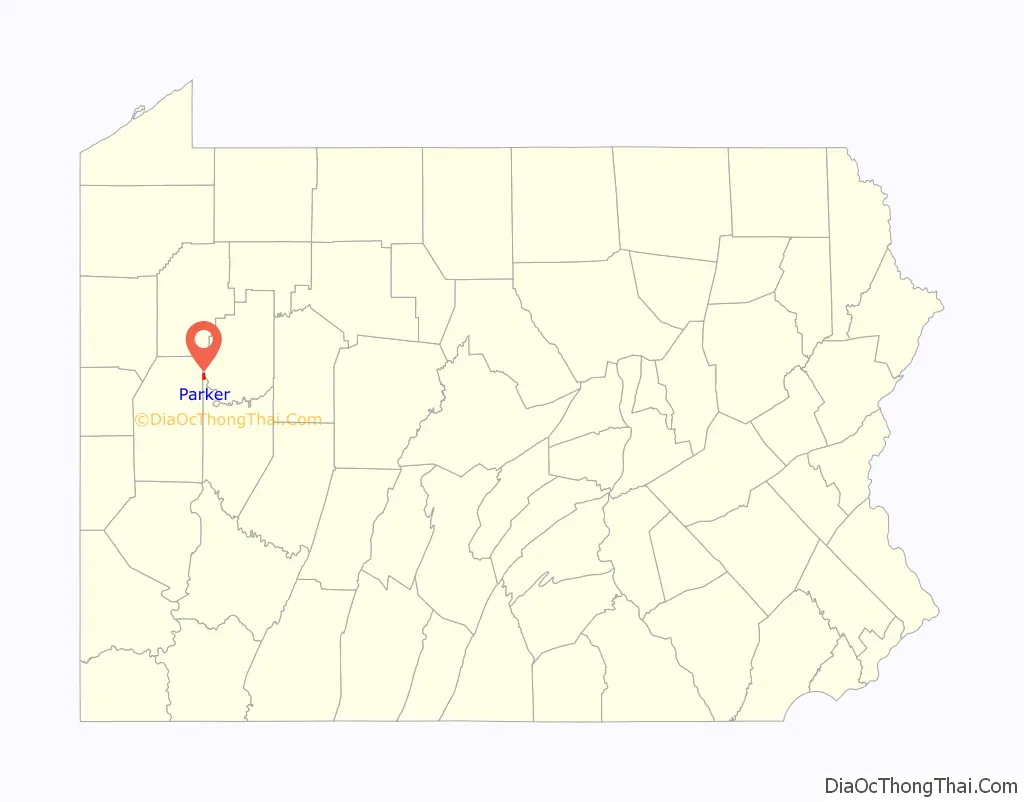
| State: | Pennsylvania |
| County: | Armstrong County |
| Incorporated: | 1873 |
| Total Area: | 0.96 sq mi (2.48 km²) |
| Land Area: | 0.96 sq mi (2.48 km²) |
| Water Area: | 0.00 sq mi (0.00 km²) |
| Total Population: | 695 |
| Population Density: | 726.99/sq mi (280.58/km²) |
| FIPS code: | 4257976 |
| Website: | www.visitparker.us/index.html |
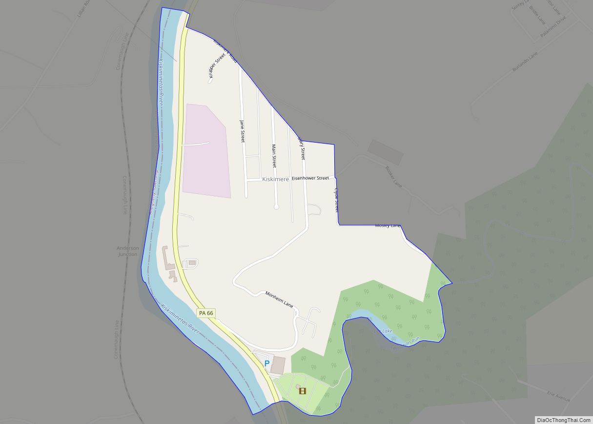
Online Interactive Map
Click on ![]() to view map in "full screen" mode.
to view map in "full screen" mode.
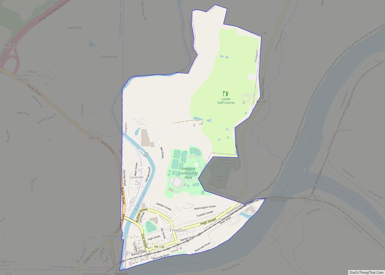
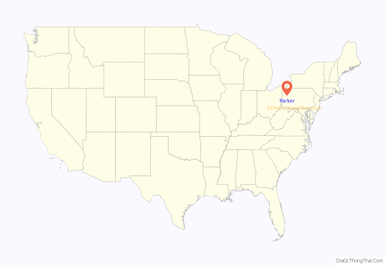
Parker location map. Where is Parker city?
History
A post office called Parker’s Landing was established in 1871. In 1894, its name was changed to Parkers Landing and in 1950, the name was changed to Parker. It remains in operation to the present. Parker appears in the 1876 Atlas of Armstrong County, Pennsylvania.
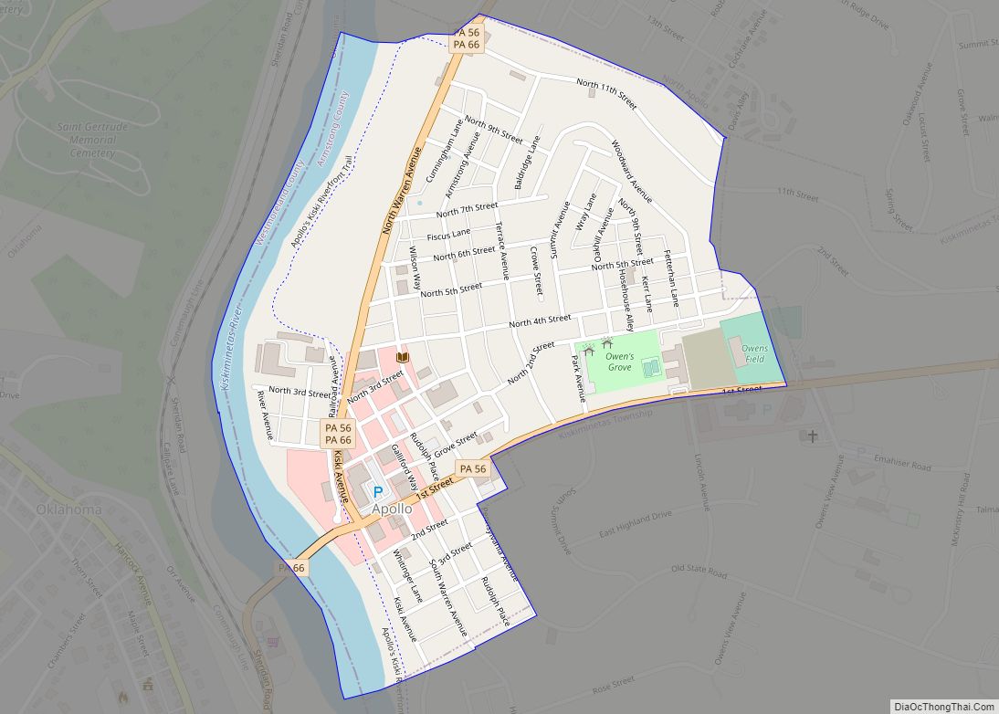
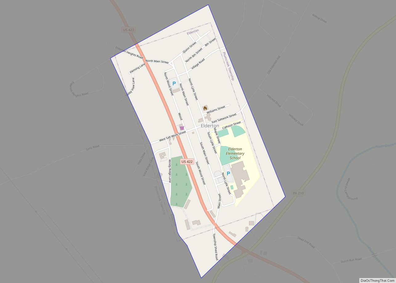
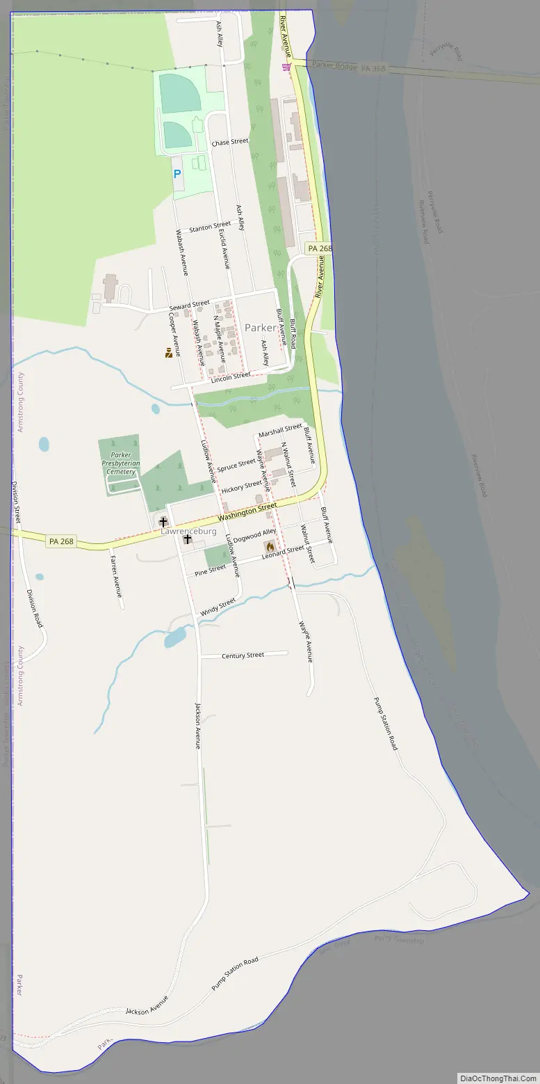
Parker Road Map
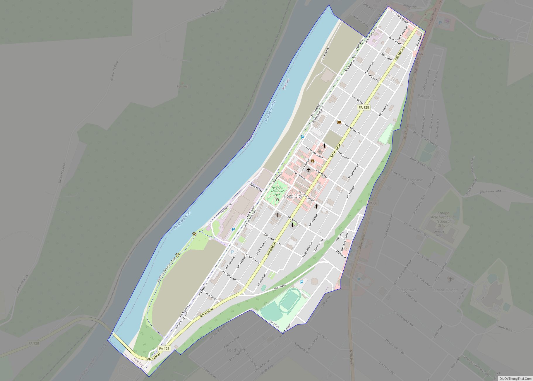
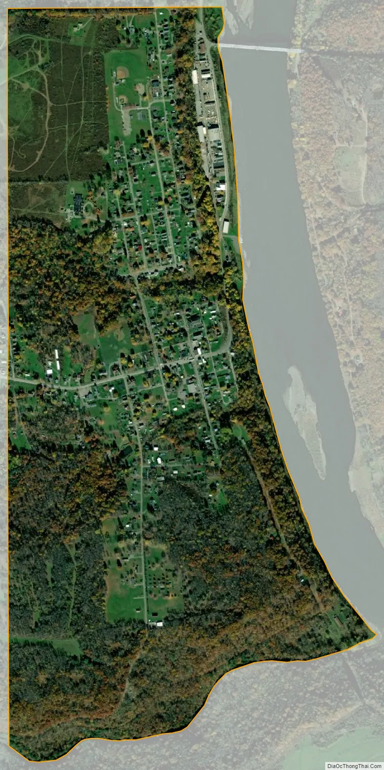
Parker city Satellite Map
Geography
Parker is located at 41°5′39″N 79°40′58″W / 41.09417°N 79.68278°W / 41.09417; -79.68278 (41.094151, −79.682771).
According to the United States Census Bureau, the city has a total area of 1.1 square miles (2.8 km), all land.
See also
Map of Pennsylvania State and its subdivision:- Adams
- Allegheny
- Armstrong
- Beaver
- Bedford
- Berks
- Blair
- Bradford
- Bucks
- Butler
- Cambria
- Cameron
- Carbon
- Centre
- Chester
- Clarion
- Clearfield
- Clinton
- Columbia
- Crawford
- Cumberland
- Dauphin
- Delaware
- Elk
- Erie
- Fayette
- Forest
- Franklin
- Fulton
- Greene
- Huntingdon
- Indiana
- Jefferson
- Juniata
- Lackawanna
- Lancaster
- Lawrence
- Lebanon
- Lehigh
- Luzerne
- Lycoming
- Mc Kean
- Mercer
- Mifflin
- Monroe
- Montgomery
- Montour
- Northampton
- Northumberland
- Perry
- Philadelphia
- Pike
- Potter
- Schuylkill
- Snyder
- Somerset
- Sullivan
- Susquehanna
- Tioga
- Union
- Venango
- Warren
- Washington
- Wayne
- Westmoreland
- Wyoming
- York
- Alabama
- Alaska
- Arizona
- Arkansas
- California
- Colorado
- Connecticut
- Delaware
- District of Columbia
- Florida
- Georgia
- Hawaii
- Idaho
- Illinois
- Indiana
- Iowa
- Kansas
- Kentucky
- Louisiana
- Maine
- Maryland
- Massachusetts
- Michigan
- Minnesota
- Mississippi
- Missouri
- Montana
- Nebraska
- Nevada
- New Hampshire
- New Jersey
- New Mexico
- New York
- North Carolina
- North Dakota
- Ohio
- Oklahoma
- Oregon
- Pennsylvania
- Rhode Island
- South Carolina
- South Dakota
- Tennessee
- Texas
- Utah
- Vermont
- Virginia
- Washington
- West Virginia
- Wisconsin
- Wyoming