Callery is a borough in Butler County, Pennsylvania, United States. The population was 394 at the 2010 census.
| Name: | Callery borough |
|---|---|
| LSAD Code: | 21 |
| LSAD Description: | borough (suffix) |
| State: | Pennsylvania |
| County: | Butler County |
| Total Area: | 0.54 sq mi (1.39 km²) |
| Land Area: | 0.54 sq mi (1.39 km²) |
| Water Area: | 0.00 sq mi (0.00 km²) |
| Total Population: | 364 |
| Population Density: | 677.84/sq mi (261.92/km²) |
| Area code: | 724 |
| FIPS code: | 4210800 |
| Website: | www.calleryborough.com |
Online Interactive Map
Click on ![]() to view map in "full screen" mode.
to view map in "full screen" mode.
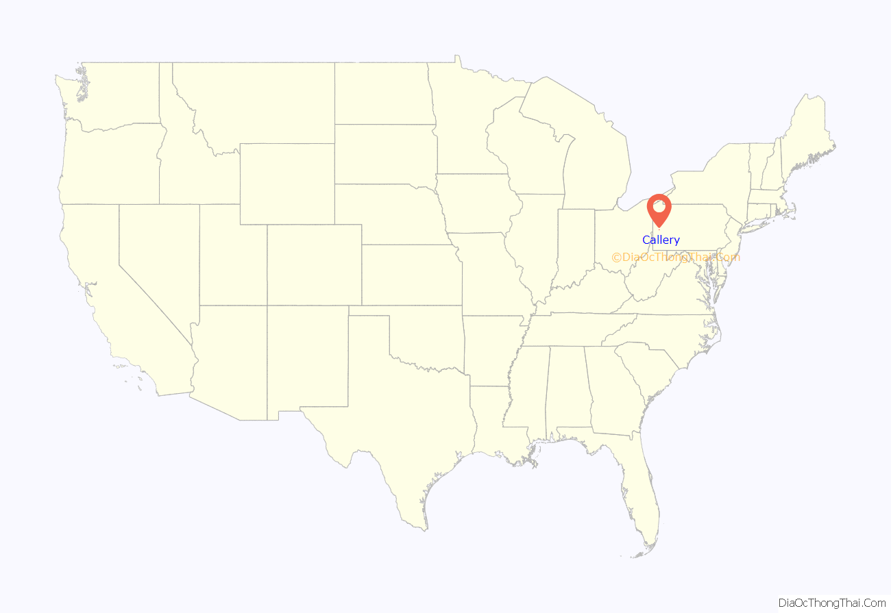
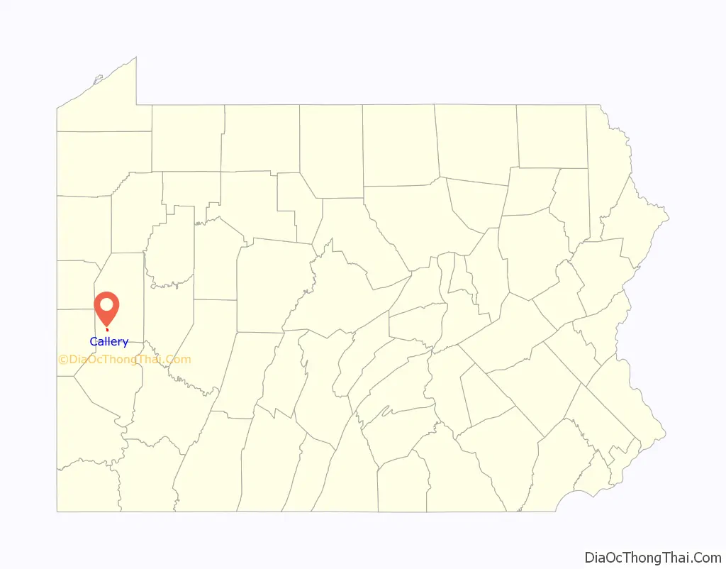
Callery location map. Where is Callery borough?
History
Callery was established in 1880, with the post office opening in 1884. Most of the community was lost to a fire in 1892; however, with the area being a major rail hub, many of the structures were rebuilt. The community was incorporated into a borough in 1905.
Railroad center
Located along the P&W Subdivision, the borough was originally a small whistle stop on the Pittsburgh and Western Railroad. However, by the turn of the 20th century, Callery became a prosperous railroad community with the completion of the Northern Subdivision, which connected with the P&W line in Callery. The Northern Subdivision ran from the junction to the village of Ribold outside of Butler. This new connection turned Callery into a major hub for the B&O Railroad, and for the next three decades it would be called Callery Junction. By the 1930s, a new connection was completed at Eidenau which eliminated the sharp curves and grades to Ribold. Soon after, traffic on the old connection ceased, and Callery Junction was no more. Trains from the Buffalo and Pittsburgh Railroad still pass the small borough today, but the junction has been gone for almost eighty years.
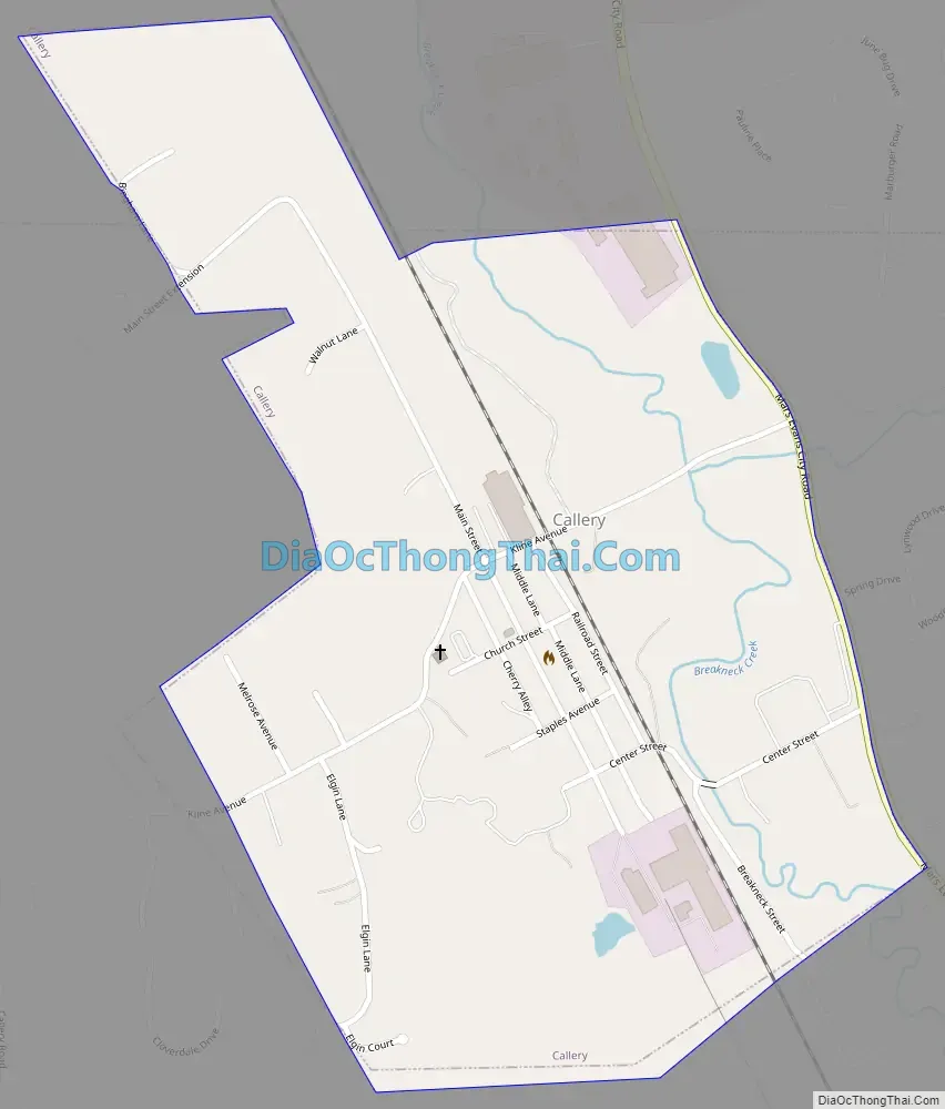
Callery Road Map
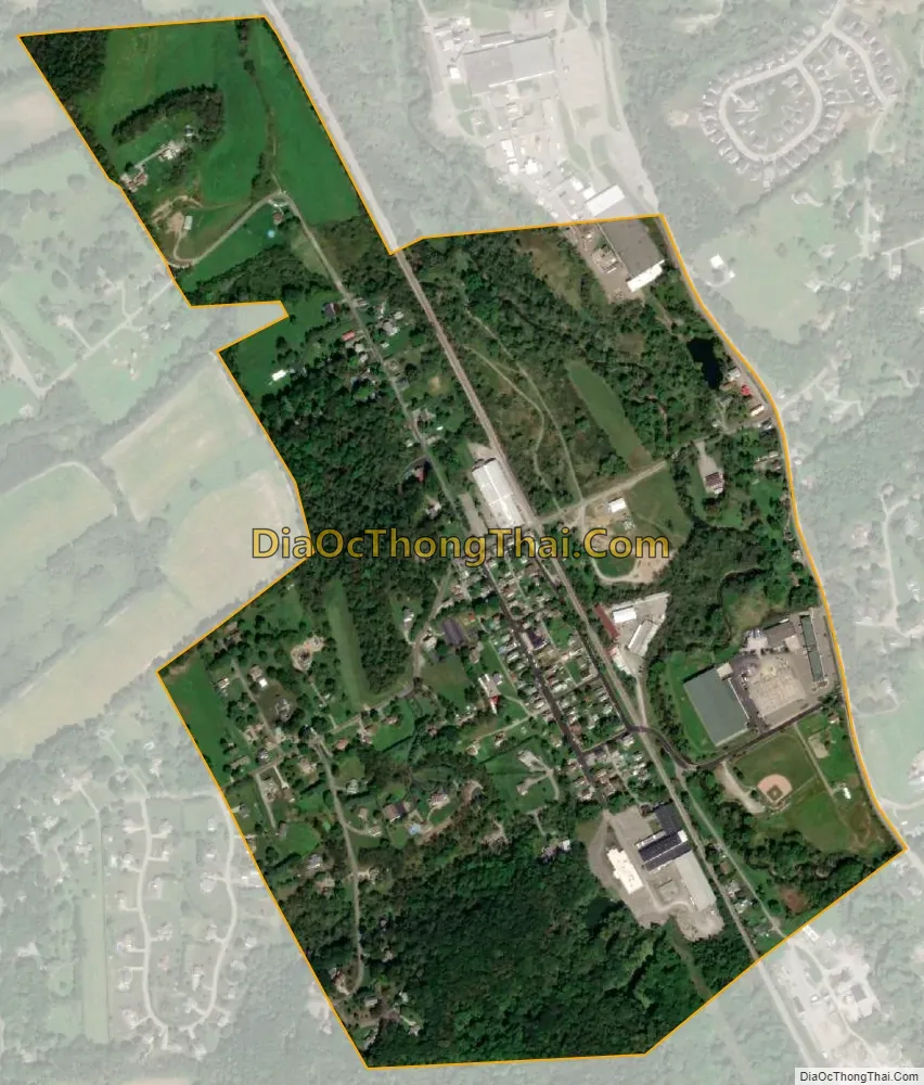
Callery city Satellite Map
Geography
Callery is located in the northwestern corner of Adams Township in southwestern Butler County, at 40°44′23″N 80°2′14″W / 40.73972°N 80.03722°W / 40.73972; -80.03722 (40.739587, -80.037211). It is 3.7 miles (6.0 km) northwest of Mars and 2.8 miles (4.5 km) southeast of Evans City; all three boroughs are in the valley of Breakneck Creek.
According to the United States Census Bureau, the borough has a total area of 0.54 square miles (1.4 km), all land.
See also
Map of Pennsylvania State and its subdivision:- Adams
- Allegheny
- Armstrong
- Beaver
- Bedford
- Berks
- Blair
- Bradford
- Bucks
- Butler
- Cambria
- Cameron
- Carbon
- Centre
- Chester
- Clarion
- Clearfield
- Clinton
- Columbia
- Crawford
- Cumberland
- Dauphin
- Delaware
- Elk
- Erie
- Fayette
- Forest
- Franklin
- Fulton
- Greene
- Huntingdon
- Indiana
- Jefferson
- Juniata
- Lackawanna
- Lancaster
- Lawrence
- Lebanon
- Lehigh
- Luzerne
- Lycoming
- Mc Kean
- Mercer
- Mifflin
- Monroe
- Montgomery
- Montour
- Northampton
- Northumberland
- Perry
- Philadelphia
- Pike
- Potter
- Schuylkill
- Snyder
- Somerset
- Sullivan
- Susquehanna
- Tioga
- Union
- Venango
- Warren
- Washington
- Wayne
- Westmoreland
- Wyoming
- York
- Alabama
- Alaska
- Arizona
- Arkansas
- California
- Colorado
- Connecticut
- Delaware
- District of Columbia
- Florida
- Georgia
- Hawaii
- Idaho
- Illinois
- Indiana
- Iowa
- Kansas
- Kentucky
- Louisiana
- Maine
- Maryland
- Massachusetts
- Michigan
- Minnesota
- Mississippi
- Missouri
- Montana
- Nebraska
- Nevada
- New Hampshire
- New Jersey
- New Mexico
- New York
- North Carolina
- North Dakota
- Ohio
- Oklahoma
- Oregon
- Pennsylvania
- Rhode Island
- South Carolina
- South Dakota
- Tennessee
- Texas
- Utah
- Vermont
- Virginia
- Washington
- West Virginia
- Wisconsin
- Wyoming


