Mars is a borough in southern Butler County, Pennsylvania, United States. The population was 1,458 at the 2020 census. It is part of the Pittsburgh metropolitan area.
| Name: | Mars borough |
|---|---|
| LSAD Code: | 21 |
| LSAD Description: | borough (suffix) |
| State: | Pennsylvania |
| County: | Butler County |
| Incorporated: | 1882; 141 years ago (1882) |
| Total Area: | 0.47 sq mi (1.22 km²) |
| Land Area: | 0.47 sq mi (1.22 km²) |
| Water Area: | 0.00 sq mi (0.00 km²) |
| Total Population: | 1,458 |
| Population Density: | 3,102.13/sq mi (1,196.74/km²) |
| ZIP code: | 16046 |
| Area code: | 724 |
| FIPS code: | 4247672 |
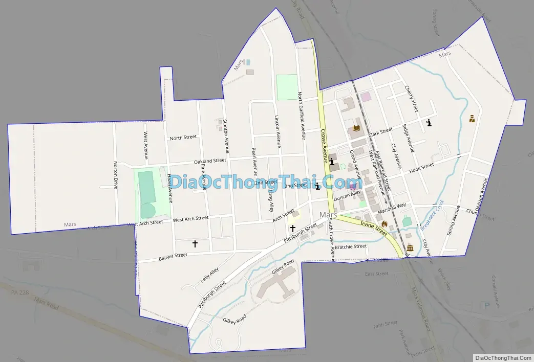
Online Interactive Map
Click on ![]() to view map in "full screen" mode.
to view map in "full screen" mode.
Mars location map. Where is Mars borough?


History
In 1873, Samuel Parks constructed a home and a water-powered gristmill along Breakneck Creek. Parks decided to have a post office placed in his home, so he received help from his friend Samuel Marshall to help establish it. The name of the post office became Overbrook. In 1877, the Pittsburgh, New Castle and Lake Erie Railroad was constructed through Overbrook, and had a station built there. In 1882, the name of the community was changed to Mars since the railroad already had a stop with the name “Overbrook”. No one is sure how the name “Mars” came into being. Some say it was Park’s wife who enjoyed astronomy, while others believe it was shortened after Samuel Marshall’s name. On March 6, 1895, Mars was incorporated as a borough.
In 1904, the Pittsburgh and Butler Street Railway gained permission from Mars to construct its right-of-way through the borough. The line become part of the Pittsburgh, Harmony, Butler and New Castle Railway in 1917, being renamed Pittsburgh, Mars and Butler Railway. The line closed in 1931.
The USS Mars (AFS-1) was named after the borough. The ship became part of the United States Pacific Fleet in 1963, and was decommissioned in 1998. It was then sunk in 2006 as a target vessel. The bell of the USS Mars was loaned to the borough and has become a part of a memorial in the downtown park.
Mars Road Map
Mars city Satellite Map

Geography
Mars is located in southern Butler County at 40°41′48″N 80°0′44″W / 40.69667°N 80.01222°W / 40.69667; -80.01222 (40.696594, -80.012205), about halfway between the cities of Pittsburgh and Butler. The small community is nestled in a small valley along Breakneck Creek. Pennsylvania Route 228 bypasses the borough to the south, leading east 4 miles (6 km) to Pennsylvania Route 8 and west 5 miles (8.0 km) to Interstates 79 and 76 in Cranberry Township. The Mars-Evans City Road leads out of town to the north.
According to the United States Census Bureau, the borough of Mars has a total area of 0.5 square miles (1.2 km), all land.
See also
Map of Pennsylvania State and its subdivision:- Adams
- Allegheny
- Armstrong
- Beaver
- Bedford
- Berks
- Blair
- Bradford
- Bucks
- Butler
- Cambria
- Cameron
- Carbon
- Centre
- Chester
- Clarion
- Clearfield
- Clinton
- Columbia
- Crawford
- Cumberland
- Dauphin
- Delaware
- Elk
- Erie
- Fayette
- Forest
- Franklin
- Fulton
- Greene
- Huntingdon
- Indiana
- Jefferson
- Juniata
- Lackawanna
- Lancaster
- Lawrence
- Lebanon
- Lehigh
- Luzerne
- Lycoming
- Mc Kean
- Mercer
- Mifflin
- Monroe
- Montgomery
- Montour
- Northampton
- Northumberland
- Perry
- Philadelphia
- Pike
- Potter
- Schuylkill
- Snyder
- Somerset
- Sullivan
- Susquehanna
- Tioga
- Union
- Venango
- Warren
- Washington
- Wayne
- Westmoreland
- Wyoming
- York
- Alabama
- Alaska
- Arizona
- Arkansas
- California
- Colorado
- Connecticut
- Delaware
- District of Columbia
- Florida
- Georgia
- Hawaii
- Idaho
- Illinois
- Indiana
- Iowa
- Kansas
- Kentucky
- Louisiana
- Maine
- Maryland
- Massachusetts
- Michigan
- Minnesota
- Mississippi
- Missouri
- Montana
- Nebraska
- Nevada
- New Hampshire
- New Jersey
- New Mexico
- New York
- North Carolina
- North Dakota
- Ohio
- Oklahoma
- Oregon
- Pennsylvania
- Rhode Island
- South Carolina
- South Dakota
- Tennessee
- Texas
- Utah
- Vermont
- Virginia
- Washington
- West Virginia
- Wisconsin
- Wyoming


