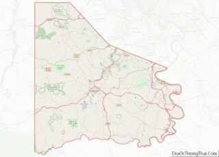
Canonsburg is a borough in Washington County, Pennsylvania, United States, 18 miles (29 km) southwest of Pittsburgh. The population was 9,735 at the 2020 census. Canonsburg was laid out by Colonel John Canon in 1789 and incorporated in 1802. The town lies in a rich coal district, and most of the town’s work force once worked in local steel mills or coal mines. Interstate 79 and U.S. Route 19 pass through the town, as does the Pittsburgh and Ohio Central Railroad. A trolley used to operate from Washington, Pennsylvania to Pittsburgh through the borough until 1953.
The town is home to Sarris Candies and All-Clad Metalcrafters, makers of cookware and other bonded metals. It is adjacent to the Southpointe office park located in Cecil Township, which has a number of large corporate tenants. Yenko Chevrolet, one of largest and most notable custom muscle car shops of the late-1960s and early-1970s, was also located in Canonsburg. Canonsburg is home to the Pittsburgh Cougars junior hockey league team.
The second-largest Fourth of July parade in the state of Pennsylvania, second only to Philadelphia, is held in Canonsburg. In the weeks leading up to the parade, the town frequently gains media attention for its residents setting up folding chairs along the town’s main street to stake claim to prime viewing areas. Additionally, Canonsburg is host to an annual Oktoberfest. In the television series Supernatural, the town is featured in the episode “Monster Movie,” which is set in the borough during the Oktoberfest celebration.
| Name: | Canonsburg borough |
|---|---|
| LSAD Code: | 21 |
| LSAD Description: | borough (suffix) |
| State: | Pennsylvania |
| County: | Washington County |
| Total Area: | 2.31 sq mi (5.98 km²) |
| Land Area: | 2.31 sq mi (5.98 km²) |
| Water Area: | 0.00 sq mi (0.00 km²) |
| Total Population: | 9,744 |
| Population Density: | 4,218.18/sq mi (1,628.63/km²) |
| ZIP code: | 15317 |
| Area code: | 724/412 |
| FIPS code: | 4211152 |
| Website: | www.canonsburgboro.com |
Online Interactive Map
Click on ![]() to view map in "full screen" mode.
to view map in "full screen" mode.
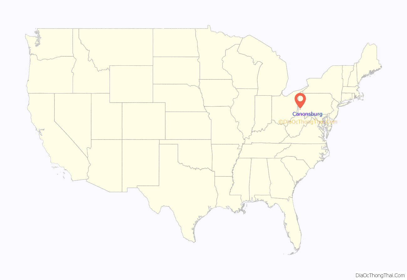
Canonsburg location map. Where is Canonsburg borough?
History
The exact date of the first settlement near the current site of Canonsburg is unclear. Colonel John Canon, a common miller who also served as justice of the Virginia courts at Fort Dunmore (better known as Fort Pitt, now Pittsburgh), purchased some land from the state of Virginia around Chartiers Creek, sometime before May 1780. The state had claimed what is now southwestern Pennsylvania in a dispute that would not finally be settled until later in the decade. In 1781 Pennsylvania carved Washington County out of Westmoreland County, and the county seat was established at Washington. The notes of the first session of the Washington County Court during that year indicate a call for a road from Canon’s mill to Pittsburgh. The road to Pittsburgh, called Pitt Street, remains in part today as an archaic and indirect route to the city. The first surviving plat of the town is from April 15, 1788. Lots were sold around Canon’s property, and the emerging town took the name of Canonsburg shortly thereafter.
Many of the participants in the Whiskey Rebellion of July 1794 were residents of present-day Washington County, which includes Canonsburg. Some of the insurrectionists are believed to have gathered in the town’s Black Horse Tavern. However, records do not indicate whether any Canonsburg residents participated in any of the violent acts which occurred during the rebellion.
The town was the site of the first institution of higher learning west of the Allegheny Mountains, Jefferson College. Founded in 1802, it was the eleventh such institution in the United States. The Phi Gamma Delta and Phi Kappa Psi fraternities were both founded at Jefferson College. Phi Gamma Delta, of whom President Calvin Coolidge was a member, was founded in 1848. Phi Kappa Psi, of whom President Woodrow Wilson and over 100 U.S. Congressmen claim membership, was founded in 1852. The school would go on to become Washington & Jefferson College in nearby Washington.
For generations, Jefferson College financially supported Canonsburg by accounting for much of its income. However, in 1868, the college was moved to nearby Washington, leaving behind empty college rooming and boarding houses, known as the “forts”. Canonsburg’s largest financial draw having left, it would take the introduction of the railroad system to return the city to its former glory. The railroad system, on its way from Mansfield (Carnegie) to Washington (See: Chartiers Branch), was fully operational, as scheduled, on May 18, 1871. The first scheduled train departed from the Washington depot carrying “borough authorities, the committee of arrangement and reception, as well as Rankin’s Cornet Band and a number of…prominent citizens who had been invited to join the excursion.” They traveled to Mansfield, where they waited for the special to arrive from Pittsburgh. The special had 12 coaches pulled by two locomotives and was filled with a large number of dignitaries, most especially the mayors of Pittsburgh and Allegheny. The special then made it down the newly laid tracks, passing stations full of spectators to cheer on the train. Canonsburg had a large crowd of supporters, and many people climbed aboard the train to ride along to Washington. There, led by Pittsburgh’s Great Western Band, the crowd marched to Town Hall for a round of speeches. The Washington Reporter editor pronounced the day “a grand success.”
In 1903 the Washington and Canonsburg Railway Company linked the two towns with a trolley line. The company was bought by the Philadelphia Company in 1906, later becoming part of the Pittsburgh Railway Company, linking through to Pittsburgh as part of their interurban service in 1909. The line closed on August 29, 1953, with the last three trolley cars travelling south through Canonsburg to the Pennsylvania Trolley Museum in 1954 shortly before the track was removed.
In 1911, South Canonsburg was annexed. On August 26, 1911, 26 people were killed in the Canonsburg Opera House disaster. A false shout of “fire” triggered a panic that killed twenty-six people.
The Canonsburg Armory, Hawthorne School and Roberts House are listed on the National Register of Historic Places.
Uranium mill
The Standard Chemical Company operated a radium refining mill from 1911 to 1922 on a 19-acre (77,000 m) plot of land. From 1930 to 1942 the company purified uranium ore. Marie Curie was invited to the United States in 1921 and was given an honorary degree by the University of Pittsburgh, and one gram of radium.
From 1942 to 1957, Vitro Manufacturing Company refined uranium and other rare metals from various ores and onsite residues, government-owned uranium ore, process concentrates, and scrap materials. The government bought the uranium ore from Vitro and used it in the Manhattan Project. Waste from incomplete extraction and other metallurgical processes accumulated during the site’s long history. About 11,600 tons of mill tailings were moved to railroad property near Blairsville between 1956 and 1957. After the closure of Vitro, the site was used by the U.S. Atomic Energy Commission. The site was then used by the Canonsburg Pottery Company, operated by the George Family, for land and clay.
The Canonsburg mill site was designated in the 1978 Uranium Mill Tailings Radiation Control Act as eligible for federal funds for clean up. It was the only uranium mill east of the Mississippi River to receive funds. In a $48 million cleanup project, the mill site and 163 nearby properties in Canonsburg were remediated. Residual radioactivity was consolidated into a covered, clay-lined cell at the Canonsburg mill site, which is fenced and posted.
Canonsburg Road Map
Canonsburg city Satellite Map
Geography
Canonsburg is located at 40°15′43″N 80°11′6″W / 40.26194°N 80.18500°W / 40.26194; -80.18500 (40.262012, −80.185030).
According to the U.S. Census Bureau, the borough has a total area of 2.3 square miles (6.0 km), all land. Canonsburg Lake, a recreational lake, lies directly east of the town.
Canonsburg has four borders, including Cecil Township to the north and northeast, North Strabane Township to the east and south, Houston to the southwest, and Chartiers Township to the west and northwest.
See also
Map of Pennsylvania State and its subdivision:- Adams
- Allegheny
- Armstrong
- Beaver
- Bedford
- Berks
- Blair
- Bradford
- Bucks
- Butler
- Cambria
- Cameron
- Carbon
- Centre
- Chester
- Clarion
- Clearfield
- Clinton
- Columbia
- Crawford
- Cumberland
- Dauphin
- Delaware
- Elk
- Erie
- Fayette
- Forest
- Franklin
- Fulton
- Greene
- Huntingdon
- Indiana
- Jefferson
- Juniata
- Lackawanna
- Lancaster
- Lawrence
- Lebanon
- Lehigh
- Luzerne
- Lycoming
- Mc Kean
- Mercer
- Mifflin
- Monroe
- Montgomery
- Montour
- Northampton
- Northumberland
- Perry
- Philadelphia
- Pike
- Potter
- Schuylkill
- Snyder
- Somerset
- Sullivan
- Susquehanna
- Tioga
- Union
- Venango
- Warren
- Washington
- Wayne
- Westmoreland
- Wyoming
- York
- Alabama
- Alaska
- Arizona
- Arkansas
- California
- Colorado
- Connecticut
- Delaware
- District of Columbia
- Florida
- Georgia
- Hawaii
- Idaho
- Illinois
- Indiana
- Iowa
- Kansas
- Kentucky
- Louisiana
- Maine
- Maryland
- Massachusetts
- Michigan
- Minnesota
- Mississippi
- Missouri
- Montana
- Nebraska
- Nevada
- New Hampshire
- New Jersey
- New Mexico
- New York
- North Carolina
- North Dakota
- Ohio
- Oklahoma
- Oregon
- Pennsylvania
- Rhode Island
- South Carolina
- South Dakota
- Tennessee
- Texas
- Utah
- Vermont
- Virginia
- Washington
- West Virginia
- Wisconsin
- Wyoming
