Chesterbrook is a census-designated place (CDP) in Chester County, Pennsylvania, United States. It is located within the Philadelphia metropolitan area and just south of Valley Forge National Historical Park. The population was 4,589 at the 2010 census.
Chesterbrook is a development located in Tredyffrin Township which is located in Chester County. It is not a town, unincorporated or otherwise. It is in the Chester County side of Wayne. Wayne exists primarily in Delaware County, but also has a small portion of Montgomery County, all within the zip code of 19087.
Chesterbrook is a development which started when the Fox Companies purchased land (two large parcels), and, due to the Municipalities Planning Code of 1969 of the Commonwealth of Pennsylvania, the development was approved in 1978.
Refer to: https://www.tehistory.org/hqda/html/v40/v40n3p083.html
Refer to: https://www.tehistory.org/hqda/html/v40/v40n1p027.html
| Name: | Chesterbrook CDP |
|---|---|
| LSAD Code: | 57 |
| LSAD Description: | CDP (suffix) |
| State: | Pennsylvania |
| County: | Chester County |
| Elevation: | 161 ft (49 m) |
| Total Area: | 1.56 sq mi (4.05 km²) |
| Land Area: | 1.56 sq mi (4.03 km²) |
| Water Area: | 0.01 sq mi (0.02 km²) |
| Total Population: | 5,610 |
| Population Density: | 3,600.77/sq mi (1,390.54/km²) |
| ZIP code: | 19087 |
| Area code: | 610 and 484 |
| FIPS code: | 4213216 |
Online Interactive Map
Click on ![]() to view map in "full screen" mode.
to view map in "full screen" mode.
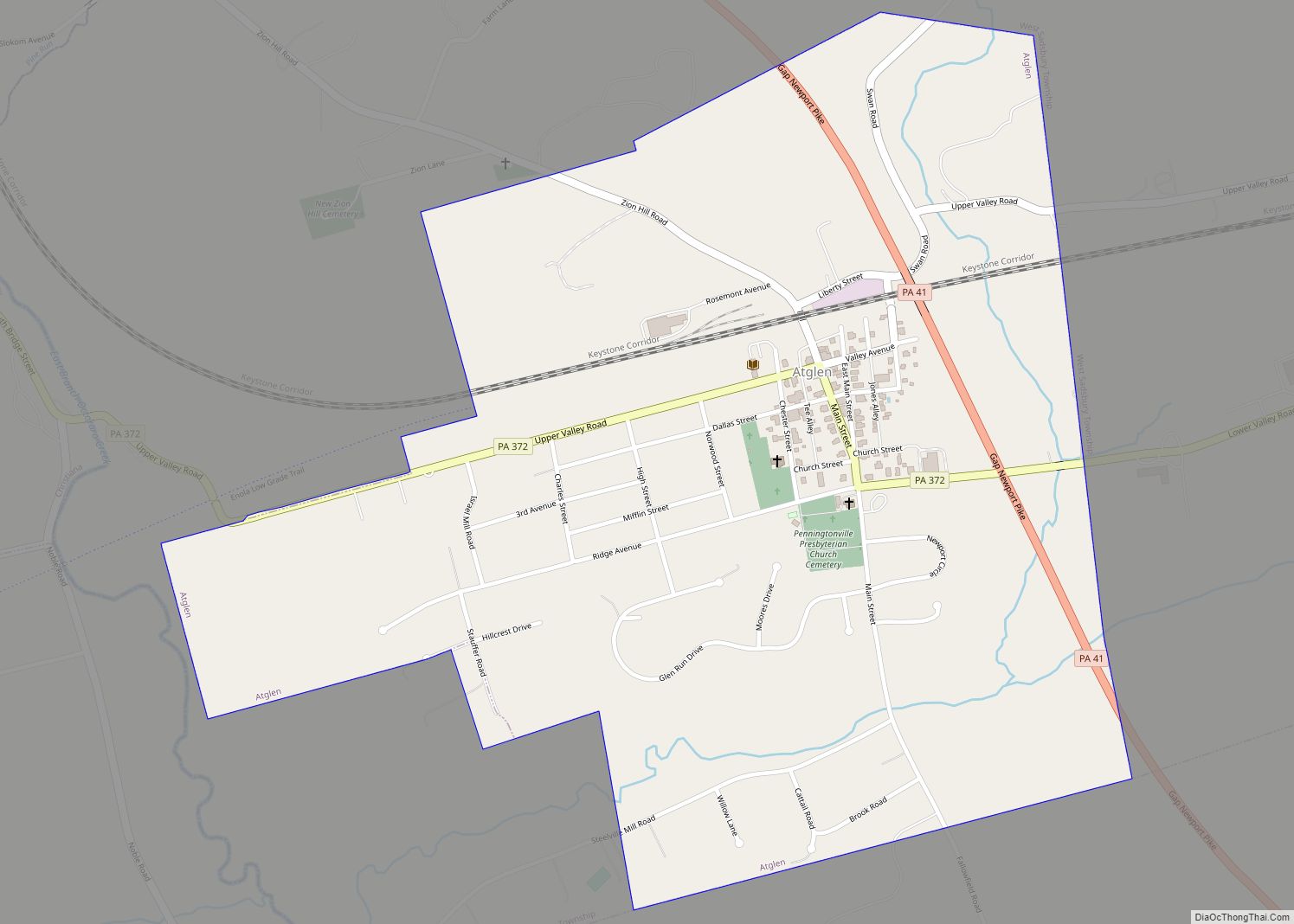
Chesterbrook location map. Where is Chesterbrook CDP?


Chesterbrook Road Map

Chesterbrook city Satellite Map

Geography
According to the U.S. Census Bureau, Chesterbrook has a total area of 1.6 square miles (4.1 km), all land. Chesterbrook is located approximately 23 miles from Philadelphia.
See also
Map of Pennsylvania State and its subdivision:- Adams
- Allegheny
- Armstrong
- Beaver
- Bedford
- Berks
- Blair
- Bradford
- Bucks
- Butler
- Cambria
- Cameron
- Carbon
- Centre
- Chester
- Clarion
- Clearfield
- Clinton
- Columbia
- Crawford
- Cumberland
- Dauphin
- Delaware
- Elk
- Erie
- Fayette
- Forest
- Franklin
- Fulton
- Greene
- Huntingdon
- Indiana
- Jefferson
- Juniata
- Lackawanna
- Lancaster
- Lawrence
- Lebanon
- Lehigh
- Luzerne
- Lycoming
- Mc Kean
- Mercer
- Mifflin
- Monroe
- Montgomery
- Montour
- Northampton
- Northumberland
- Perry
- Philadelphia
- Pike
- Potter
- Schuylkill
- Snyder
- Somerset
- Sullivan
- Susquehanna
- Tioga
- Union
- Venango
- Warren
- Washington
- Wayne
- Westmoreland
- Wyoming
- York
- Alabama
- Alaska
- Arizona
- Arkansas
- California
- Colorado
- Connecticut
- Delaware
- District of Columbia
- Florida
- Georgia
- Hawaii
- Idaho
- Illinois
- Indiana
- Iowa
- Kansas
- Kentucky
- Louisiana
- Maine
- Maryland
- Massachusetts
- Michigan
- Minnesota
- Mississippi
- Missouri
- Montana
- Nebraska
- Nevada
- New Hampshire
- New Jersey
- New Mexico
- New York
- North Carolina
- North Dakota
- Ohio
- Oklahoma
- Oregon
- Pennsylvania
- Rhode Island
- South Carolina
- South Dakota
- Tennessee
- Texas
- Utah
- Vermont
- Virginia
- Washington
- West Virginia
- Wisconsin
- Wyoming