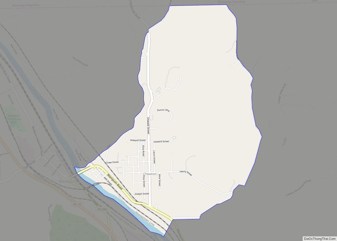
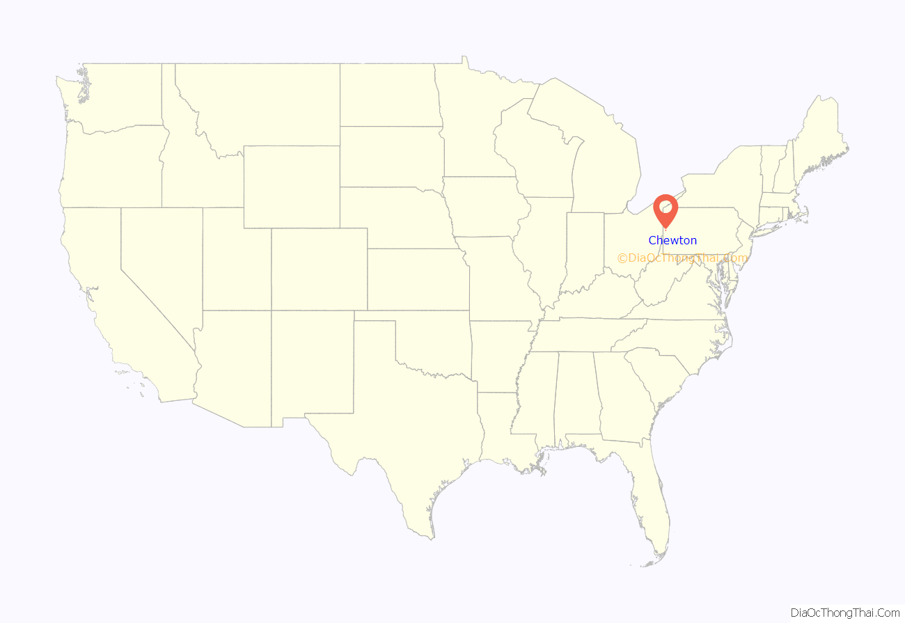
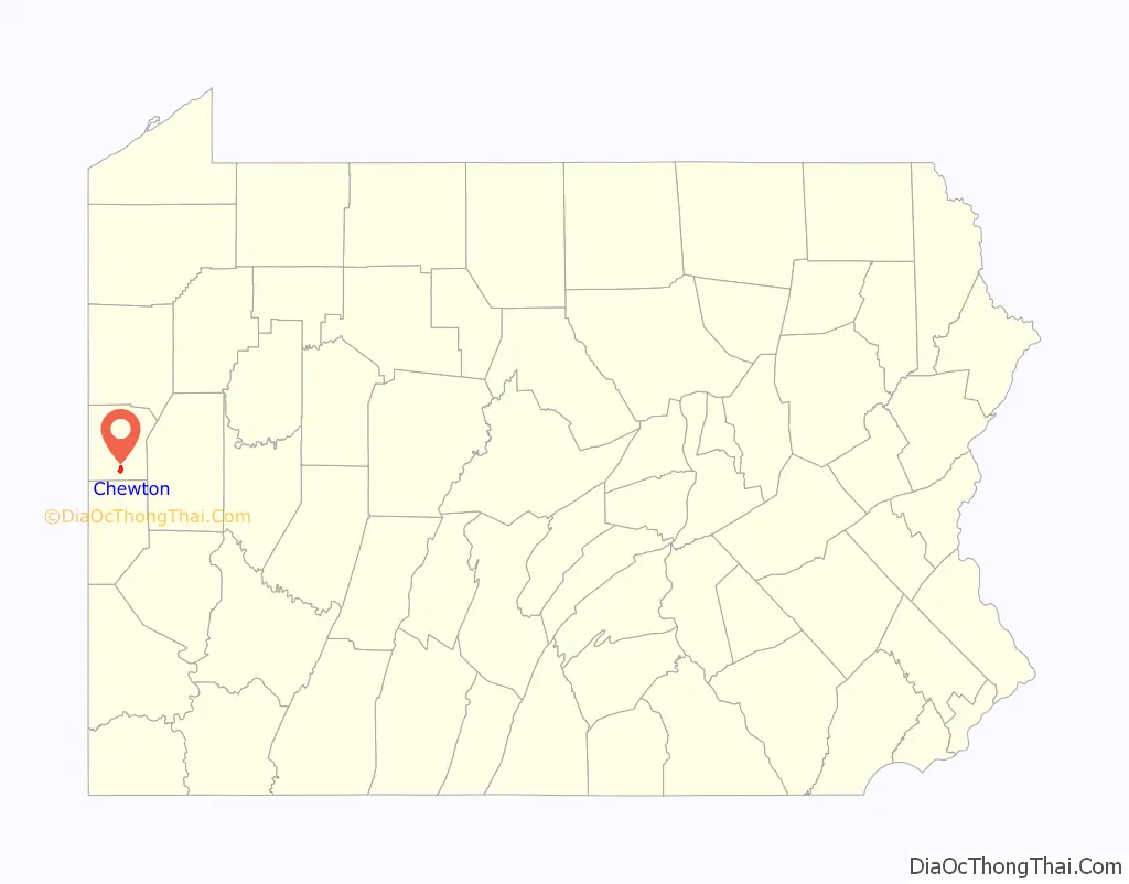
Chewton is an unincorporated community and census-designated place (CDP) in Lawrence County, Pennsylvania, United States. The population was 488 at the 2010 census.
| Name: | Chewton CDP |
|---|---|
| LSAD Code: | 57 |
| LSAD Description: | CDP (suffix) |
| State: | Pennsylvania |
| County: | Lawrence County |
| Elevation: | 910 ft (280 m) |
| Total Area: | 1.51 sq mi (3.91 km²) |
| Land Area: | 1.49 sq mi (3.87 km²) |
| Water Area: | 0.02 sq mi (0.04 km²) |
| Total Population: | 395 |
| Population Density: | 264.39/sq mi (102.07/km²) |
| Area code: | 724 |
| FIPS code: | 4213408 |
| GNISfeature ID: | 1171765 |
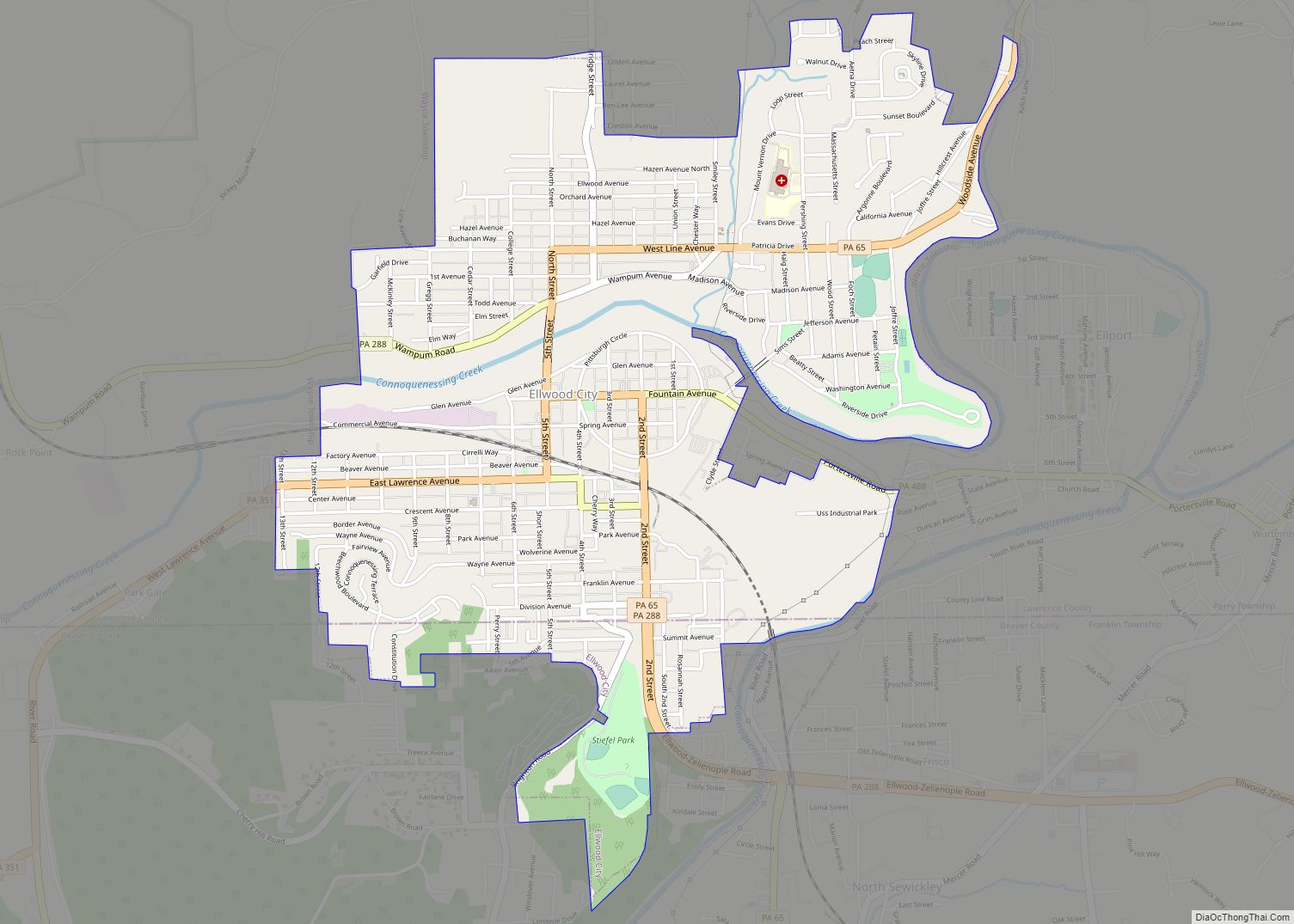
Online Interactive Map
Click on ![]() to view map in "full screen" mode.
to view map in "full screen" mode.
Chewton location map. Where is Chewton CDP?
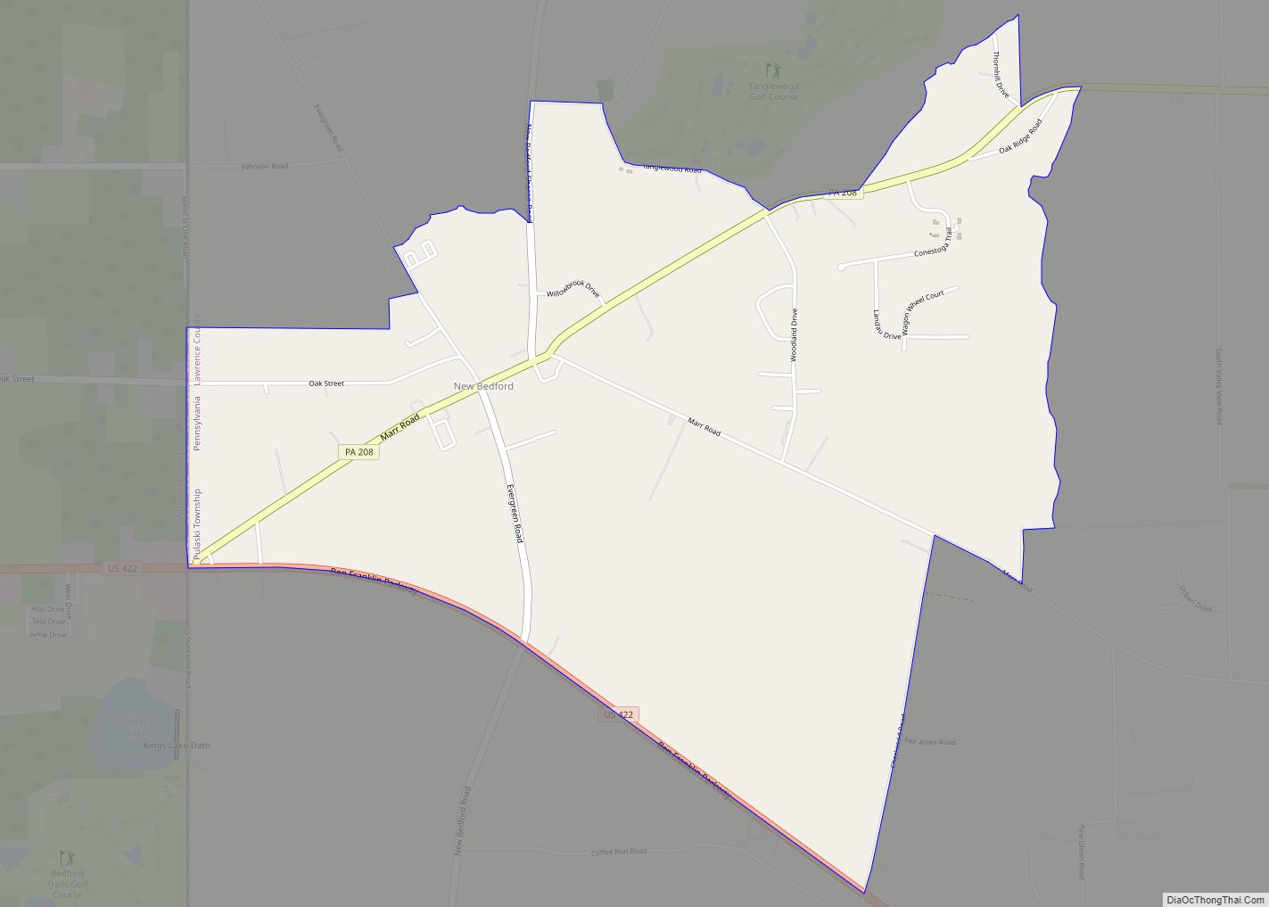
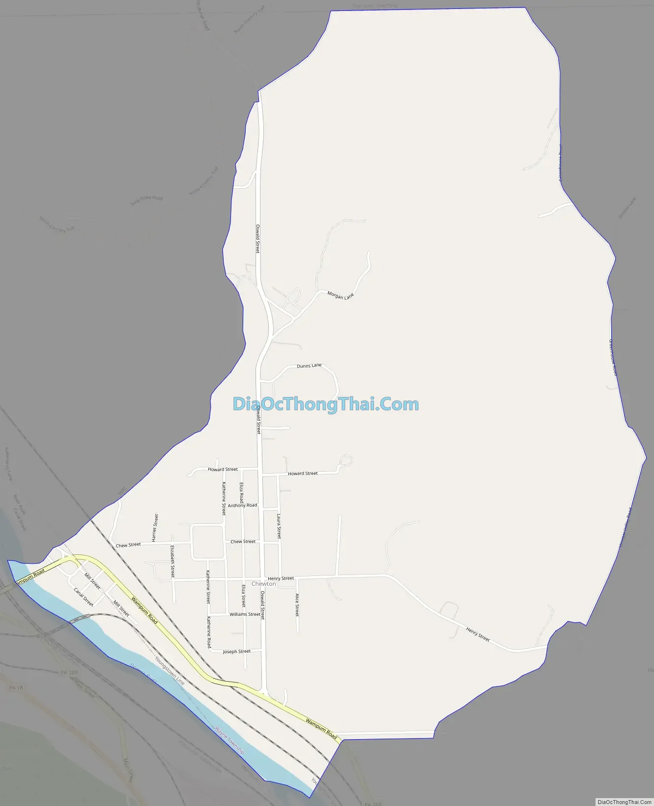
Chewton Road Map
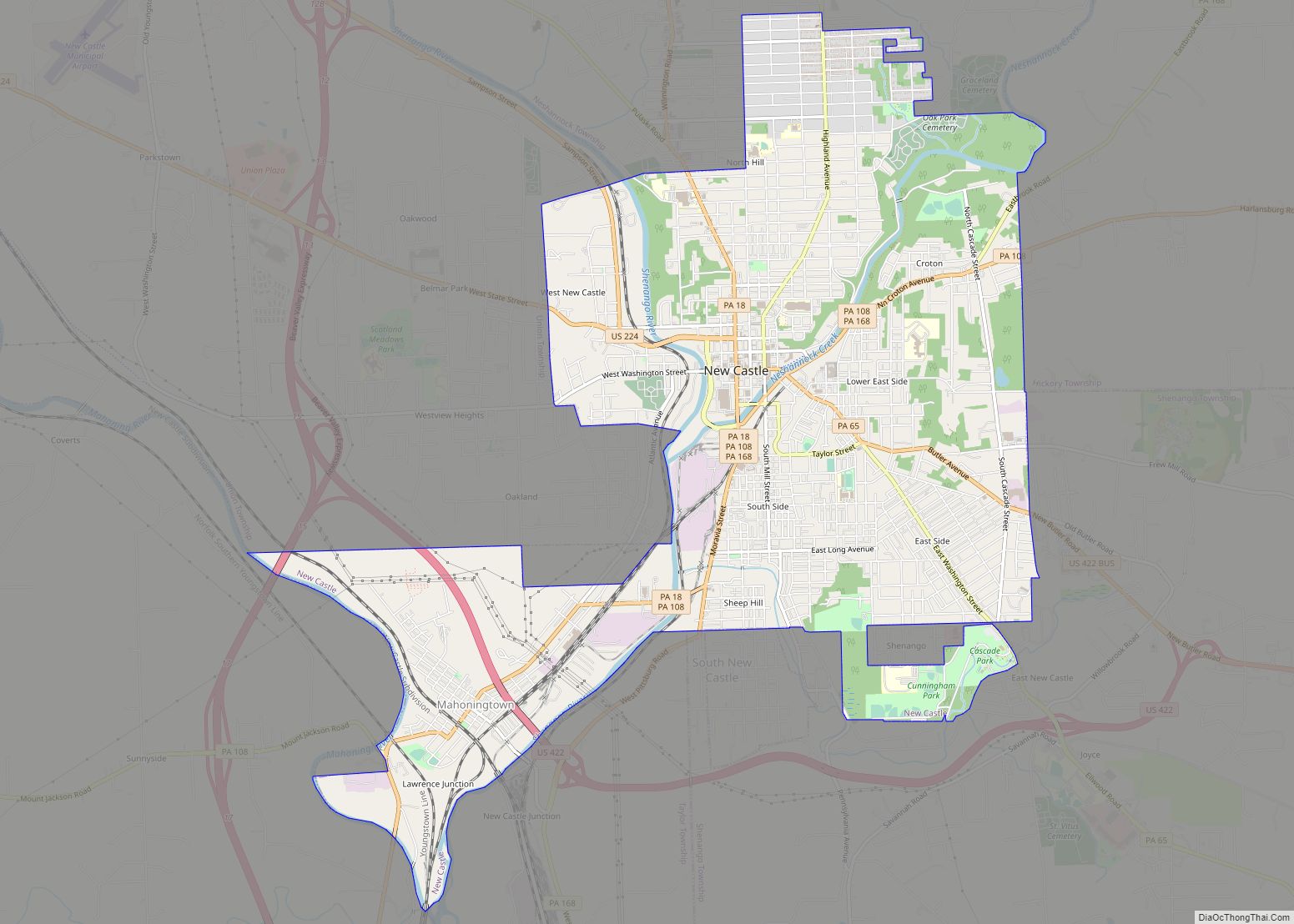
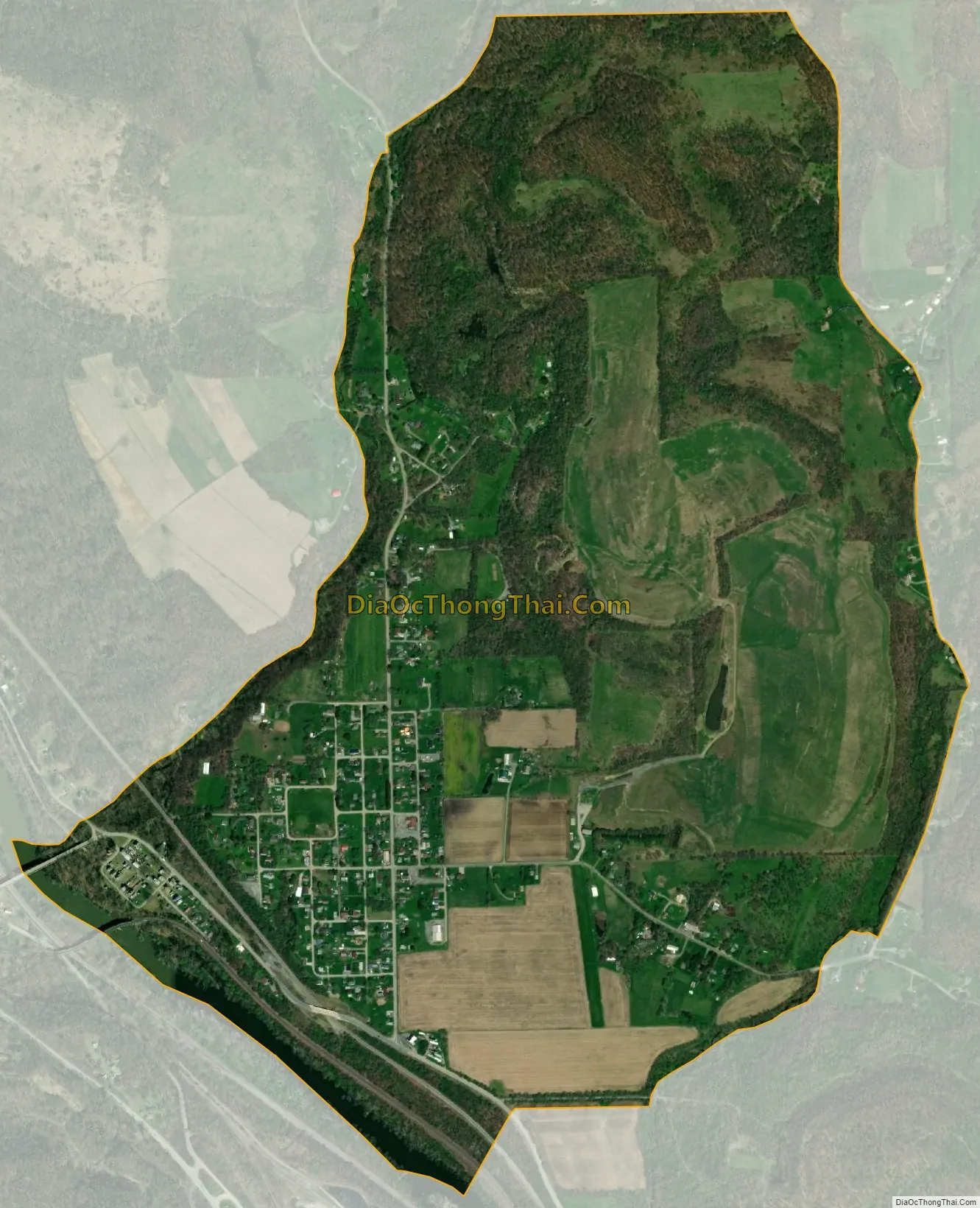
Chewton city Satellite Map
Geography
Chewton is located in southern Lawrence County at 40°53′21″N 80°19′33″W / 40.88917°N 80.32583°W / 40.88917; -80.32583 (40.8976, -80.3184), in the northwestern part of Wayne Township. It sits on a bluff overlooking the east bank of the Beaver River. It is bordered across the river by the borough of Wampum.
Chewton is 9 miles (14 km) south of New Castle, the county seat. Pennsylvania Route 288 passes through the southwestern side of the community, leading west across the Beaver River into Wampum and southeast 4 miles (6 km) to Ellwood City.
According to the United States Census Bureau, the CDP has a total area of 1.5 square miles (3.9 km), of which 0.02 square miles (0.04 km), or 1.06%, are water. Via the Beaver River, Chewton is part of the Ohio River watershed.
See also
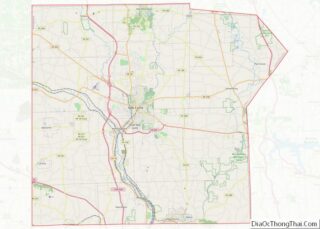
Map of Pennsylvania State and its subdivision:- Adams
- Allegheny
- Armstrong
- Beaver
- Bedford
- Berks
- Blair
- Bradford
- Bucks
- Butler
- Cambria
- Cameron
- Carbon
- Centre
- Chester
- Clarion
- Clearfield
- Clinton
- Columbia
- Crawford
- Cumberland
- Dauphin
- Delaware
- Elk
- Erie
- Fayette
- Forest
- Franklin
- Fulton
- Greene
- Huntingdon
- Indiana
- Jefferson
- Juniata
- Lackawanna
- Lancaster
- Lawrence
- Lebanon
- Lehigh
- Luzerne
- Lycoming
- Mc Kean
- Mercer
- Mifflin
- Monroe
- Montgomery
- Montour
- Northampton
- Northumberland
- Perry
- Philadelphia
- Pike
- Potter
- Schuylkill
- Snyder
- Somerset
- Sullivan
- Susquehanna
- Tioga
- Union
- Venango
- Warren
- Washington
- Wayne
- Westmoreland
- Wyoming
- York
- Alabama
- Alaska
- Arizona
- Arkansas
- California
- Colorado
- Connecticut
- Delaware
- District of Columbia
- Florida
- Georgia
- Hawaii
- Idaho
- Illinois
- Indiana
- Iowa
- Kansas
- Kentucky
- Louisiana
- Maine
- Maryland
- Massachusetts
- Michigan
- Minnesota
- Mississippi
- Missouri
- Montana
- Nebraska
- Nevada
- New Hampshire
- New Jersey
- New Mexico
- New York
- North Carolina
- North Dakota
- Ohio
- Oklahoma
- Oregon
- Pennsylvania
- Rhode Island
- South Carolina
- South Dakota
- Tennessee
- Texas
- Utah
- Vermont
- Virginia
- Washington
- West Virginia
- Wisconsin
- Wyoming