Ellwood City is a borough primarily in Lawrence County, Pennsylvania, United States, with a small district in Beaver County. The population was 7,642 at the 2020 census. Ellwood City lies 30 miles (48 km) northwest of Pittsburgh and 8 miles (13 km) southeast of New Castle within the New Castle micropolitan area.
| Name: | Ellwood City borough |
|---|---|
| LSAD Code: | 21 |
| LSAD Description: | borough (suffix) |
| State: | Pennsylvania |
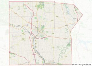
| County: | Beaver County, Lawrence County |
| Elevation: | 883 ft (269 m) |
| Total Area: | 2.36 sq mi (6.11 km²) |
| Land Area: | 2.32 sq mi (6.02 km²) |
| Water Area: | 0.03 sq mi (0.09 km²) |
| Total Population: | 7,642 |
| Population Density: | 3,288.30/sq mi (1,269.58/km²) |
| ZIP code: | 16117 |
| Area code: | 724, 878 |
| FIPS code: | 4223304 |
| GNISfeature ID: | 1211951 |
| Website: | www.ecboro.com |
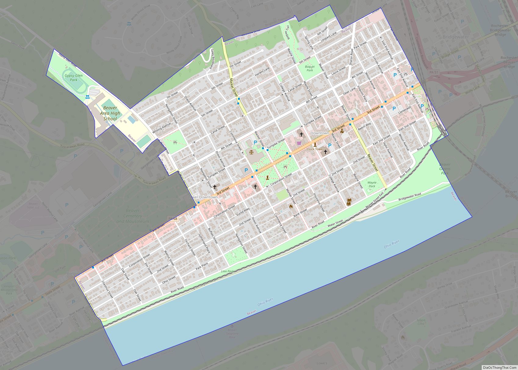
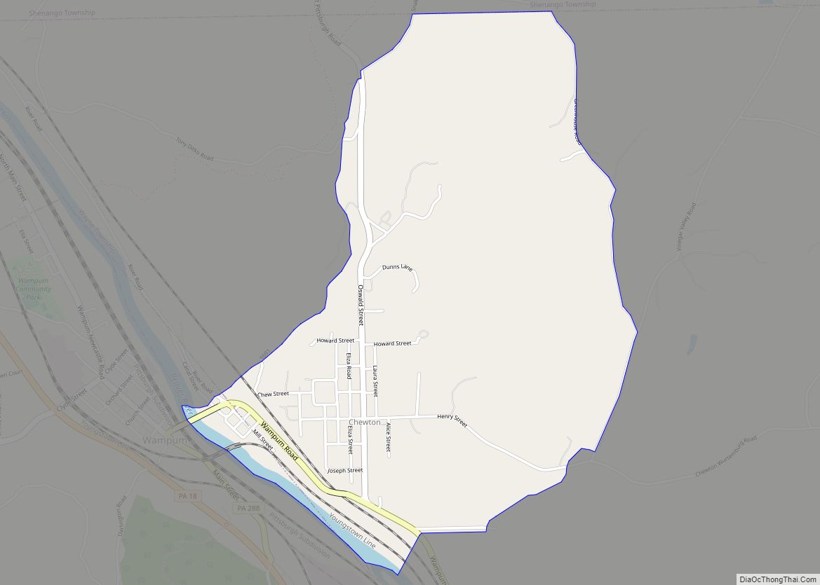
Online Interactive Map
Click on ![]() to view map in "full screen" mode.
to view map in "full screen" mode.
Ellwood City location map. Where is Ellwood City borough?


History
In the past, Ellwood City sustained many heavy industries such as steel tube mills, steel car works, building stone and limestone quarries, foundries and machine shops, and coal mining.
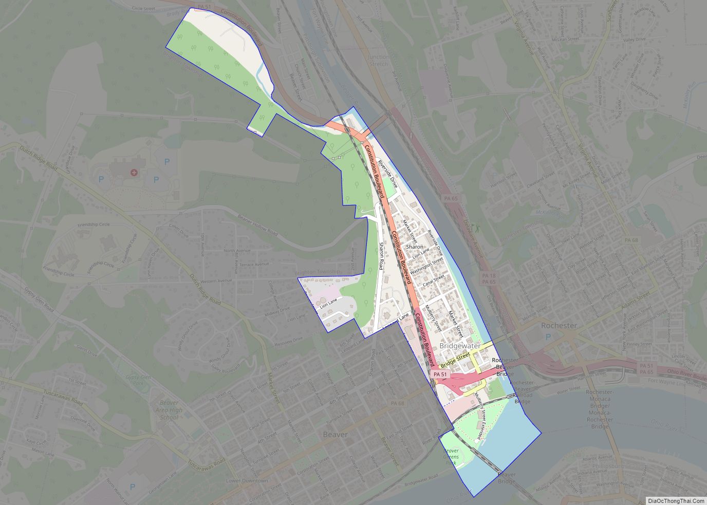
Ellwood City Road Map

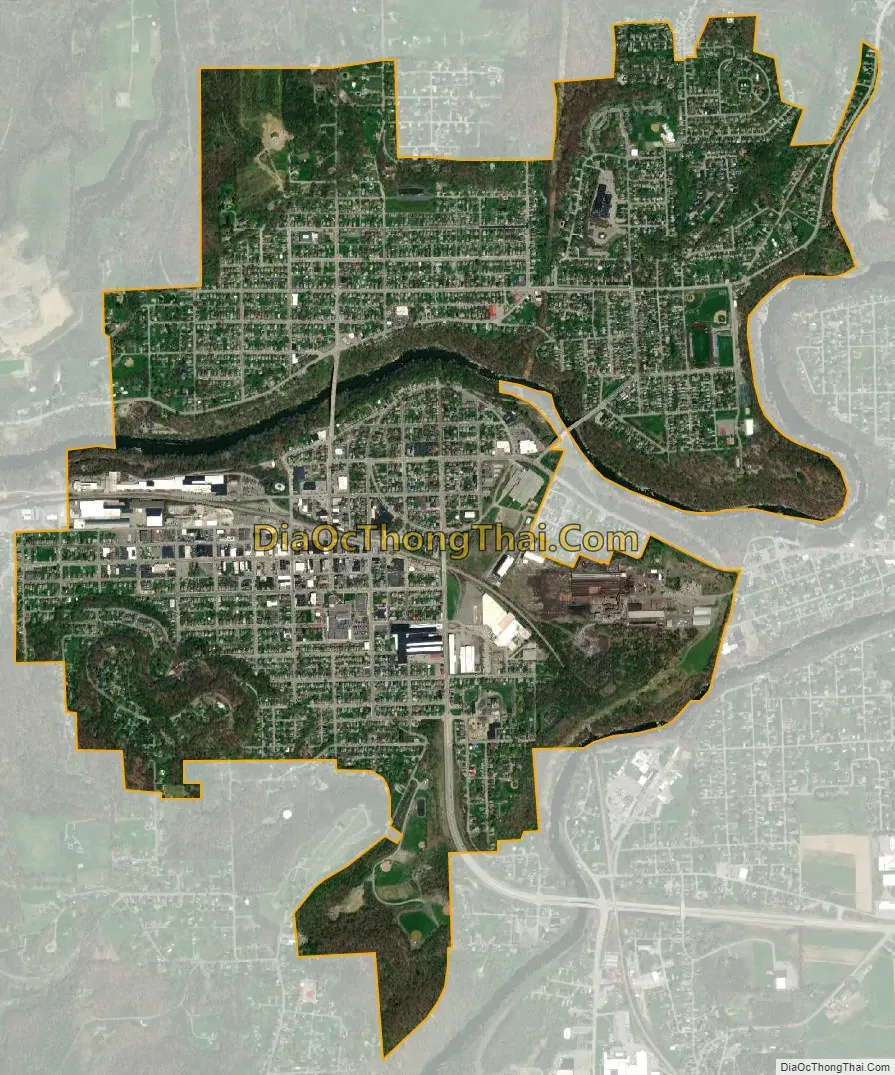
Ellwood City city Satellite Map
Geography
Ellwood City is located at 40°51′40″N 80°17′05″W / 40.860983°N 80.284849°W / 40.860983; -80.284849 (40.860983, -80.284849). According to the United States Census Bureau, the borough has a total area of 2.4 square miles (6.2 km), of which 2.3 square miles (6.0 km) is land and 0.1 square miles (0.26 km), or 2.09%, is water.
The (roughly) 0.3 mile-diameter Pittsburgh Circle within the city was once a bicycle-racing track, as the city historically manufactured steel for bicycles.
See also
Map of Pennsylvania State and its subdivision:- Adams
- Allegheny
- Armstrong
- Beaver
- Bedford
- Berks
- Blair
- Bradford
- Bucks
- Butler
- Cambria
- Cameron
- Carbon
- Centre
- Chester
- Clarion
- Clearfield
- Clinton
- Columbia
- Crawford
- Cumberland
- Dauphin
- Delaware
- Elk
- Erie
- Fayette
- Forest
- Franklin
- Fulton
- Greene
- Huntingdon
- Indiana
- Jefferson
- Juniata
- Lackawanna
- Lancaster
- Lawrence
- Lebanon
- Lehigh
- Luzerne
- Lycoming
- Mc Kean
- Mercer
- Mifflin
- Monroe
- Montgomery
- Montour
- Northampton
- Northumberland
- Perry
- Philadelphia
- Pike
- Potter
- Schuylkill
- Snyder
- Somerset
- Sullivan
- Susquehanna
- Tioga
- Union
- Venango
- Warren
- Washington
- Wayne
- Westmoreland
- Wyoming
- York
- Alabama
- Alaska
- Arizona
- Arkansas
- California
- Colorado
- Connecticut
- Delaware
- District of Columbia
- Florida
- Georgia
- Hawaii
- Idaho
- Illinois
- Indiana
- Iowa
- Kansas
- Kentucky
- Louisiana
- Maine
- Maryland
- Massachusetts
- Michigan
- Minnesota
- Mississippi
- Missouri
- Montana
- Nebraska
- Nevada
- New Hampshire
- New Jersey
- New Mexico
- New York
- North Carolina
- North Dakota
- Ohio
- Oklahoma
- Oregon
- Pennsylvania
- Rhode Island
- South Carolina
- South Dakota
- Tennessee
- Texas
- Utah
- Vermont
- Virginia
- Washington
- West Virginia
- Wisconsin
- Wyoming