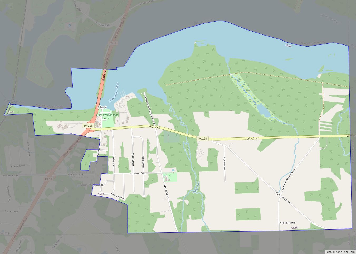
Clark is a borough in western Mercer County, Pennsylvania, United States, along the southern shore of the Shenango River Reservoir. The population was 576 at the 2020 census. It is part of the Youngstown–Warren metropolitan area.
| Name: | Clark borough |
|---|---|
| LSAD Code: | 21 |
| LSAD Description: | borough (suffix) |
| State: | Pennsylvania |
| County: | Mercer County |
| Total Area: | 3.62 sq mi (9.38 km²) |
| Land Area: | 3.01 sq mi (7.80 km²) |
| Water Area: | 0.61 sq mi (1.58 km²) |
| Total Population: | 576 |
| Population Density: | 191.30/sq mi (73.87/km²) |
| Area code: | 724 |
| FIPS code: | 4213832 |
Online Interactive Map
Click on ![]() to view map in "full screen" mode.
to view map in "full screen" mode.
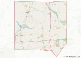
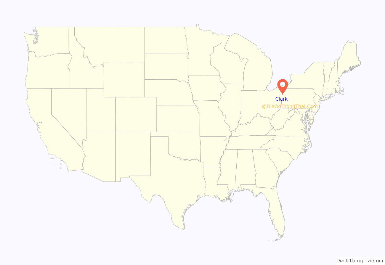
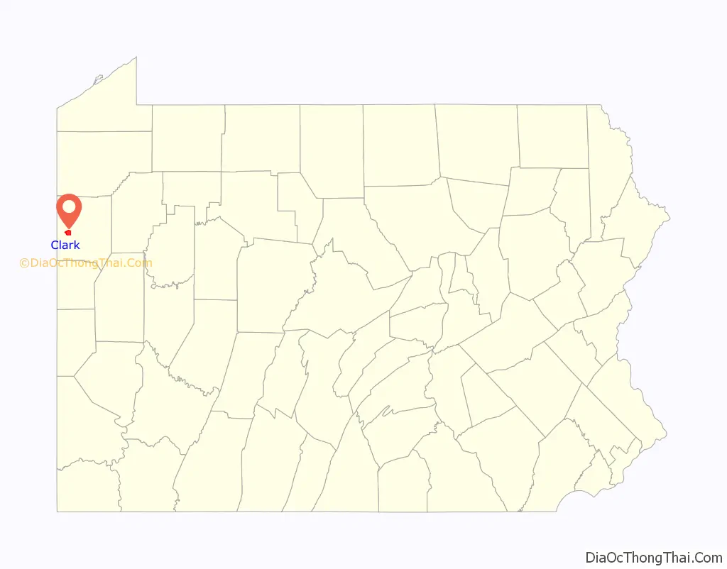
Clark location map. Where is Clark borough?
History
Clark bore the name of Clarksville into the late 1950s. The original community was moved to the present site following the construction of a Shenango River dam for flood control near Sharpsville.
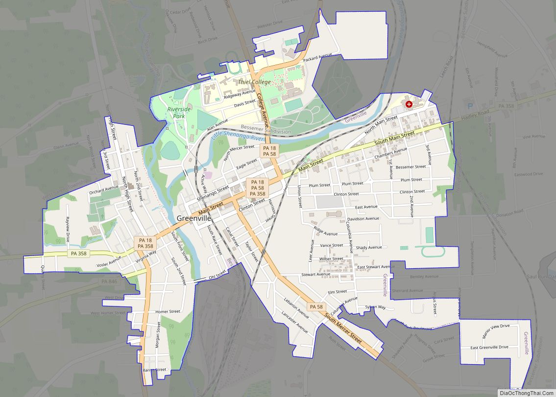
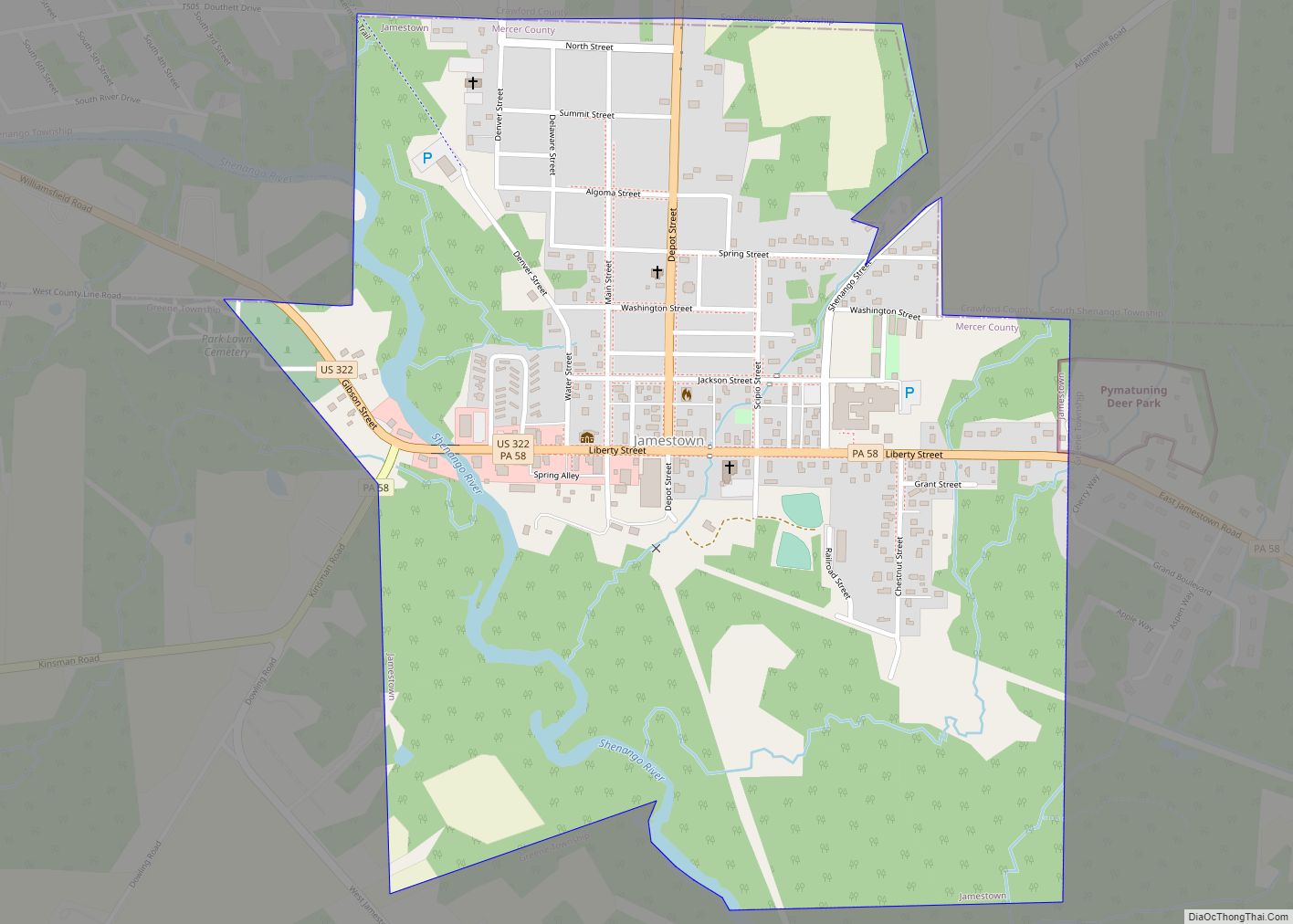
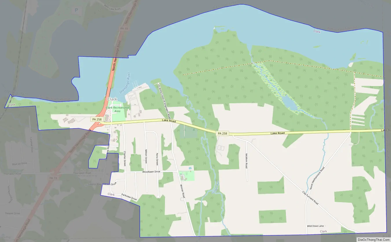
Clark Road Map
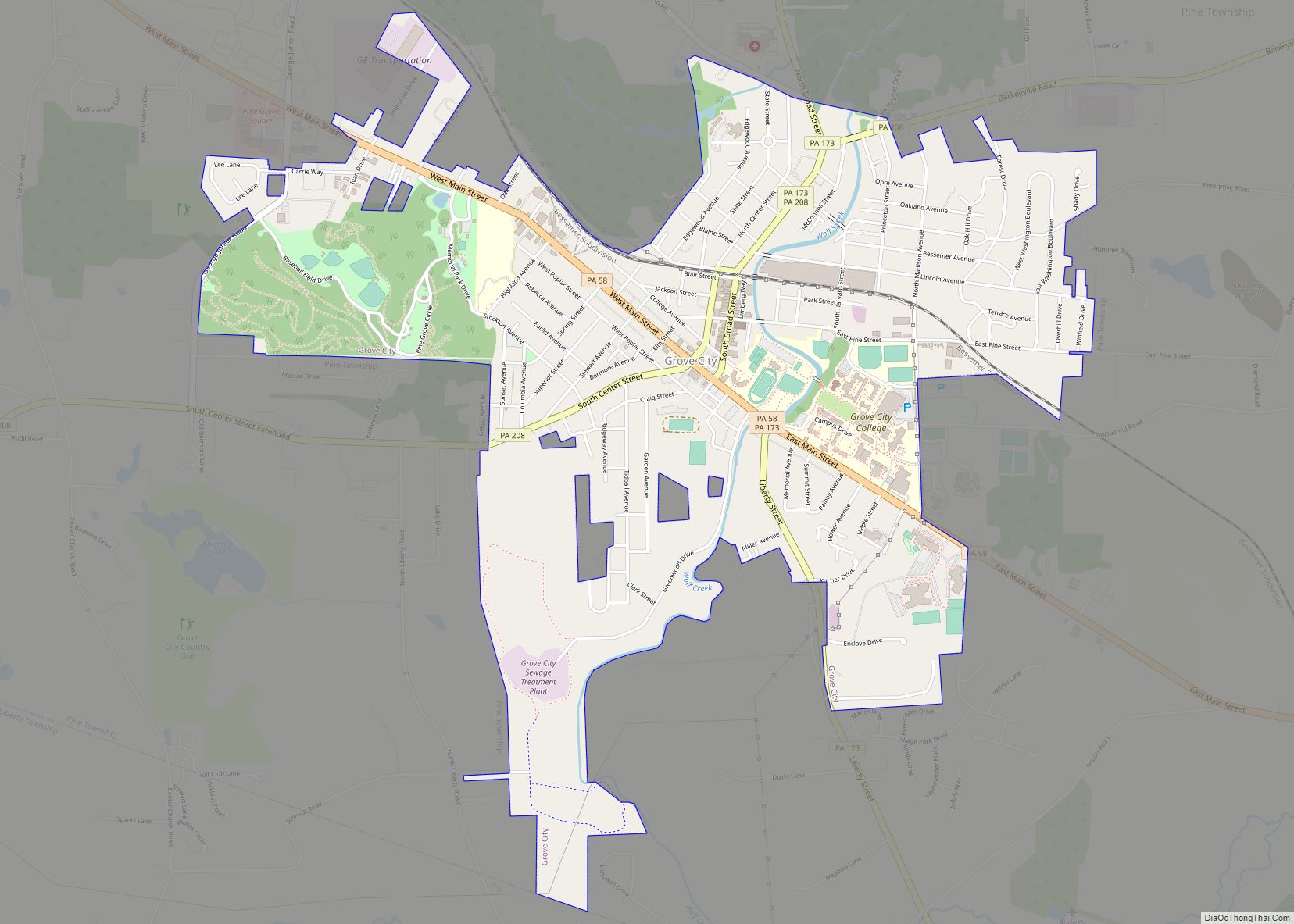
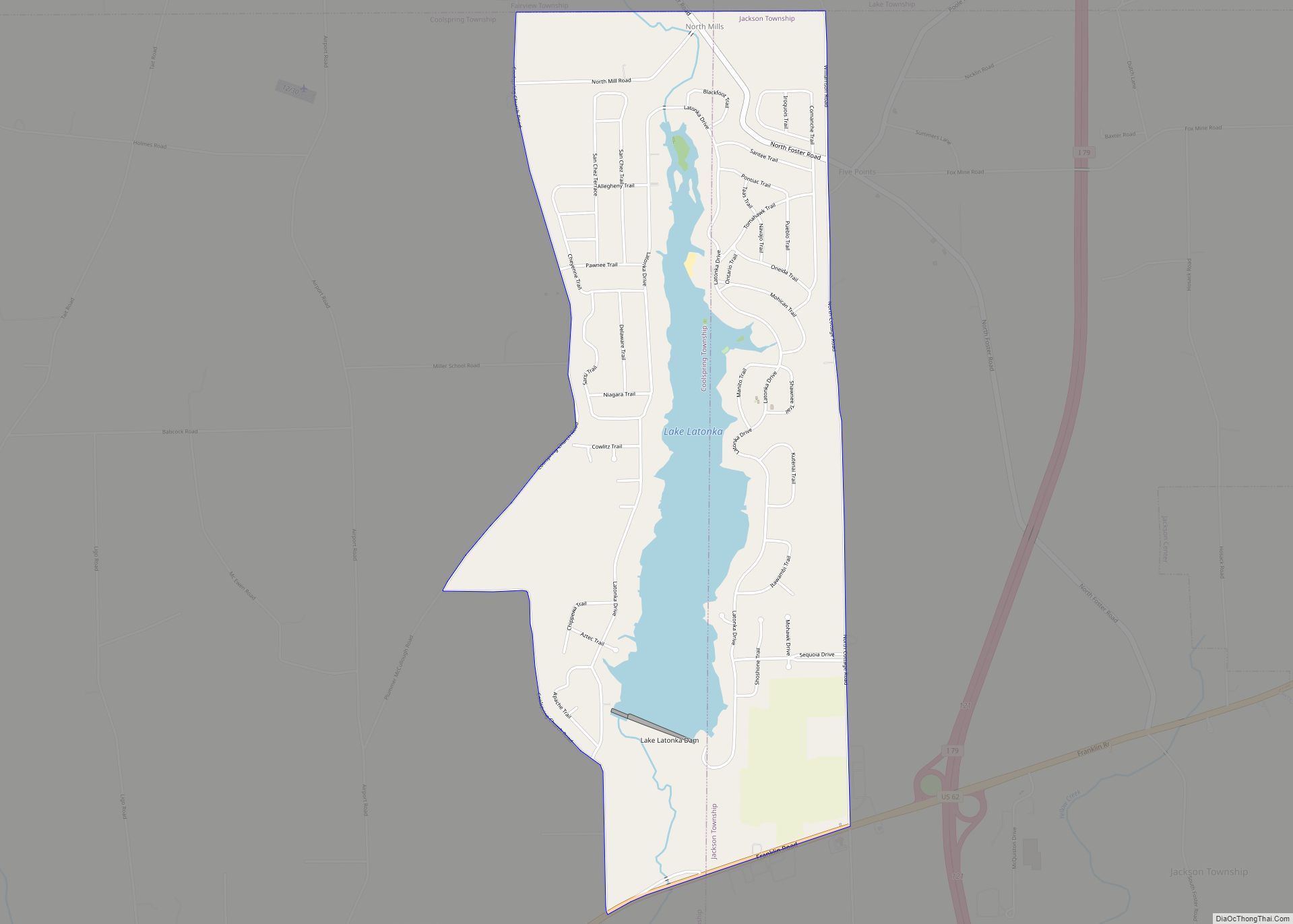
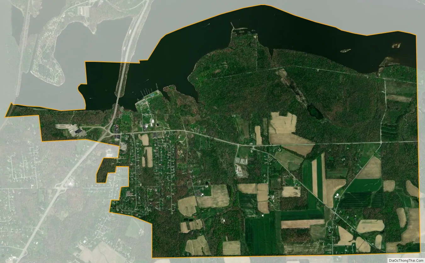
Clark city Satellite Map
Geography
Clark is located at 41°16′55″N 80°24′35″W / 41.28194°N 80.40972°W / 41.28194; -80.40972 (41.282049, -80.409591).
According to the United States Census Bureau, the borough has a total area of 3.8 square miles (9.8 km), of which 3.0 square miles (7.8 km) is land and 0.7 square miles (1.8 km) (19.31%) is water.
Notable locations
- NorthStar Marina
- Pete’s Berry farm
- Clark House
See also
Map of Pennsylvania State and its subdivision:- Adams
- Allegheny
- Armstrong
- Beaver
- Bedford
- Berks
- Blair
- Bradford
- Bucks
- Butler
- Cambria
- Cameron
- Carbon
- Centre
- Chester
- Clarion
- Clearfield
- Clinton
- Columbia
- Crawford
- Cumberland
- Dauphin
- Delaware
- Elk
- Erie
- Fayette
- Forest
- Franklin
- Fulton
- Greene
- Huntingdon
- Indiana
- Jefferson
- Juniata
- Lackawanna
- Lancaster
- Lawrence
- Lebanon
- Lehigh
- Luzerne
- Lycoming
- Mc Kean
- Mercer
- Mifflin
- Monroe
- Montgomery
- Montour
- Northampton
- Northumberland
- Perry
- Philadelphia
- Pike
- Potter
- Schuylkill
- Snyder
- Somerset
- Sullivan
- Susquehanna
- Tioga
- Union
- Venango
- Warren
- Washington
- Wayne
- Westmoreland
- Wyoming
- York
- Alabama
- Alaska
- Arizona
- Arkansas
- California
- Colorado
- Connecticut
- Delaware
- District of Columbia
- Florida
- Georgia
- Hawaii
- Idaho
- Illinois
- Indiana
- Iowa
- Kansas
- Kentucky
- Louisiana
- Maine
- Maryland
- Massachusetts
- Michigan
- Minnesota
- Mississippi
- Missouri
- Montana
- Nebraska
- Nevada
- New Hampshire
- New Jersey
- New Mexico
- New York
- North Carolina
- North Dakota
- Ohio
- Oklahoma
- Oregon
- Pennsylvania
- Rhode Island
- South Carolina
- South Dakota
- Tennessee
- Texas
- Utah
- Vermont
- Virginia
- Washington
- West Virginia
- Wisconsin
- Wyoming