Sharpsville is a borough in western Mercer County, Pennsylvania, United States, along the Shenango River. The population was 4,253 as of the 2020 census. It is part of the Youngstown–Warren metropolitan area.
| Name: | Sharpsville borough |
|---|---|
| LSAD Code: | 21 |
| LSAD Description: | borough (suffix) |
| State: | Pennsylvania |
| County: | Mercer County |
| Total Area: | 1.40 sq mi (3.63 km²) |
| Land Area: | 1.39 sq mi (3.60 km²) |
| Water Area: | 0.01 sq mi (0.03 km²) |
| Total Population: | 4,255 |
| Population Density: | 3,058.95/sq mi (1,181.06/km²) |
| Area code: | 724 |
| FIPS code: | 4269800 |
| Website: | www.sharpsville.org |
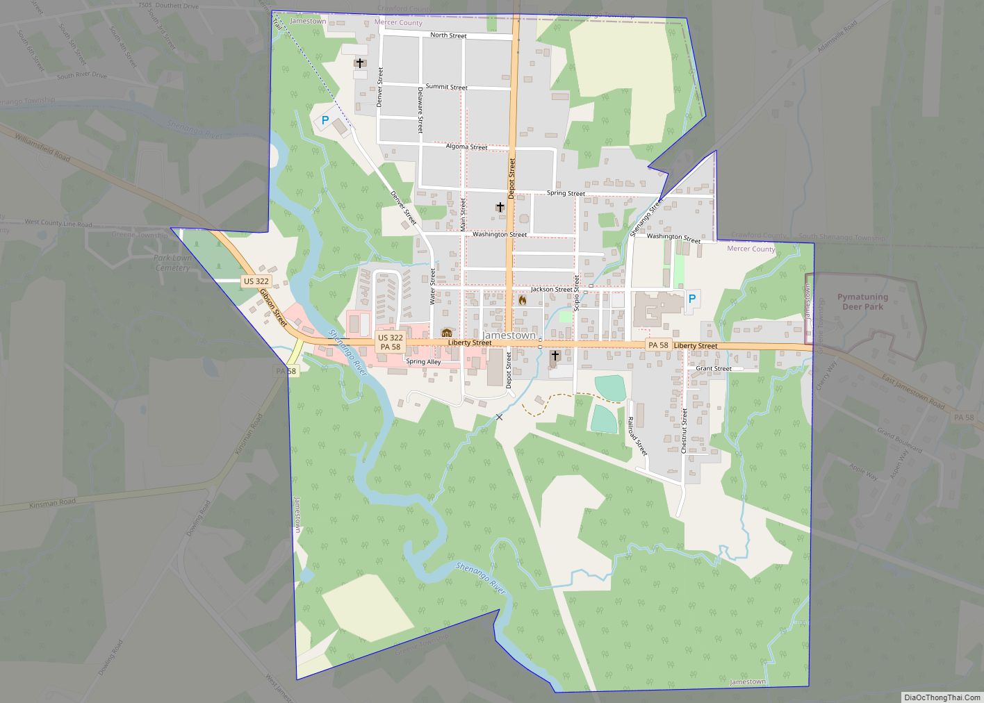
Online Interactive Map
Click on ![]() to view map in "full screen" mode.
to view map in "full screen" mode.
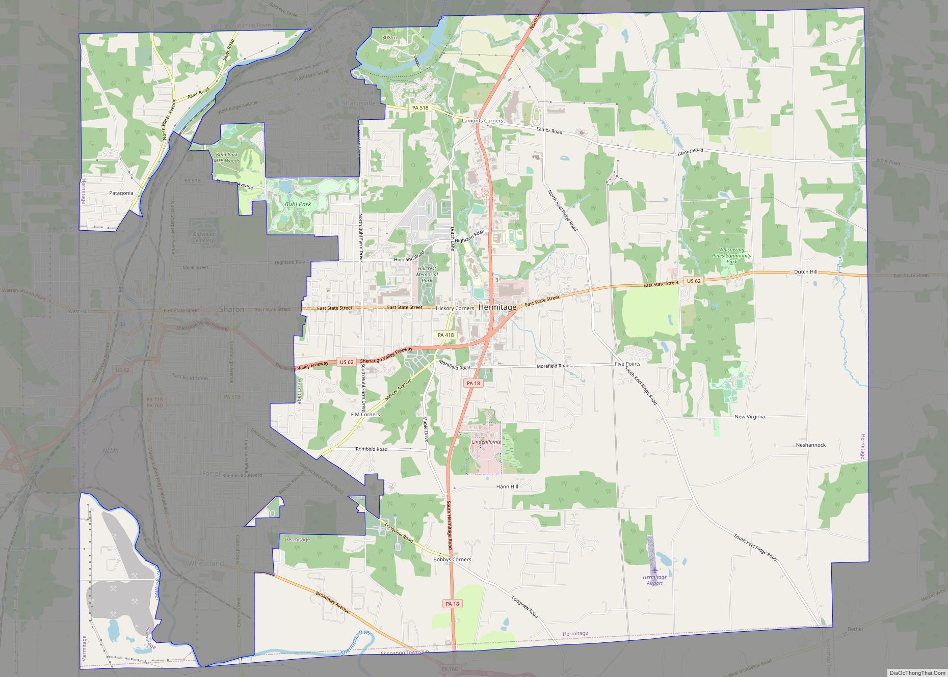
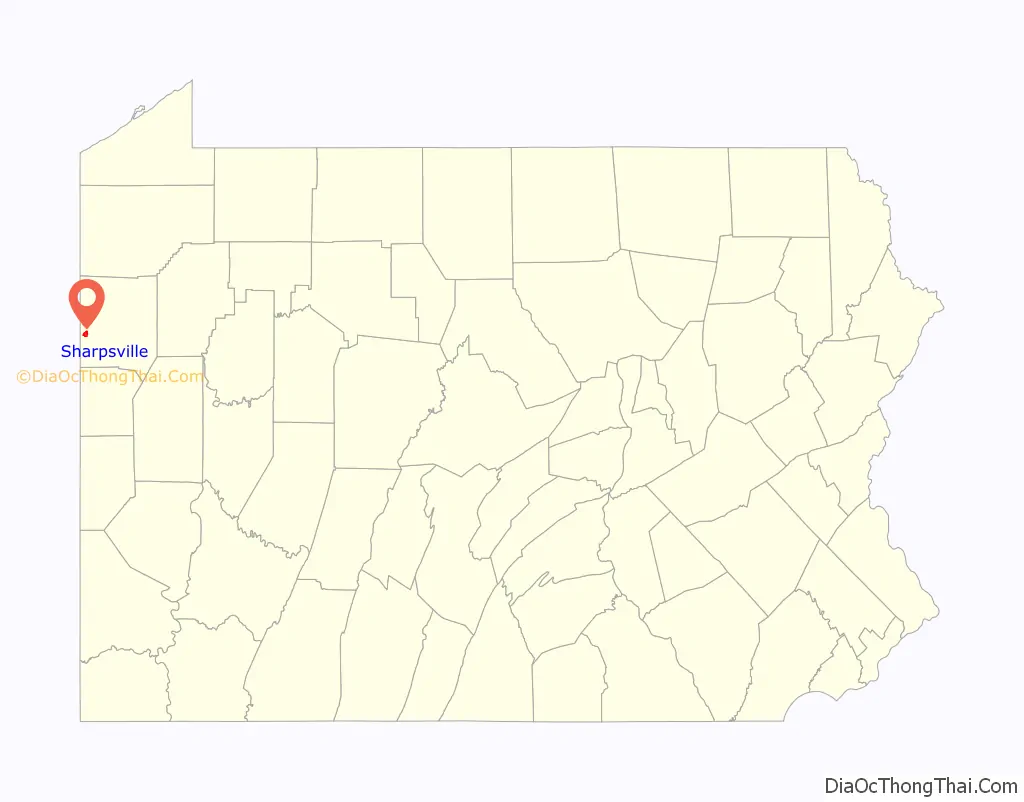
Sharpsville location map. Where is Sharpsville borough?

History
The First Universalist Church of Sharpsville and Jonas J. Pierce House are listed on the National Register of Historic Places.
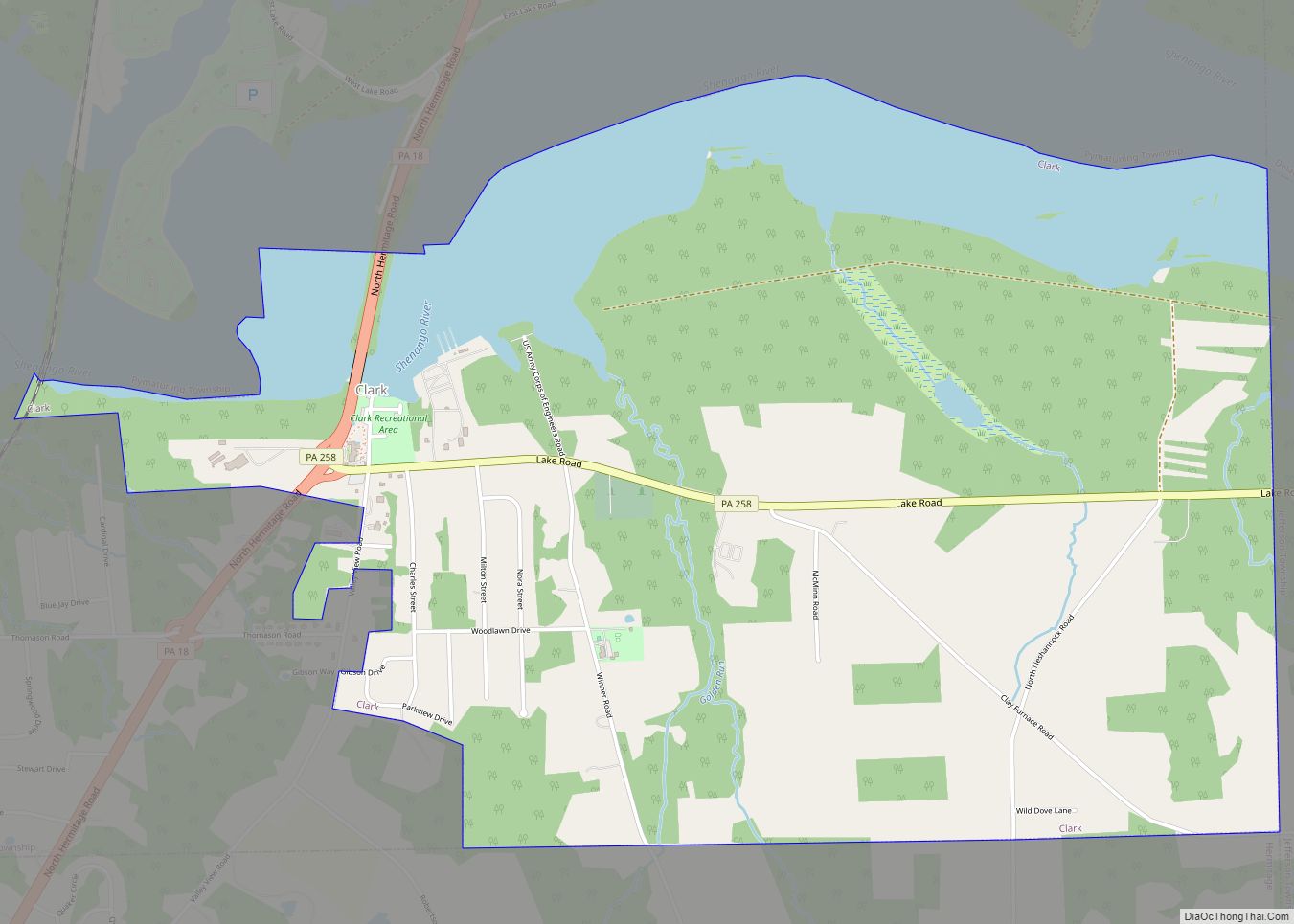
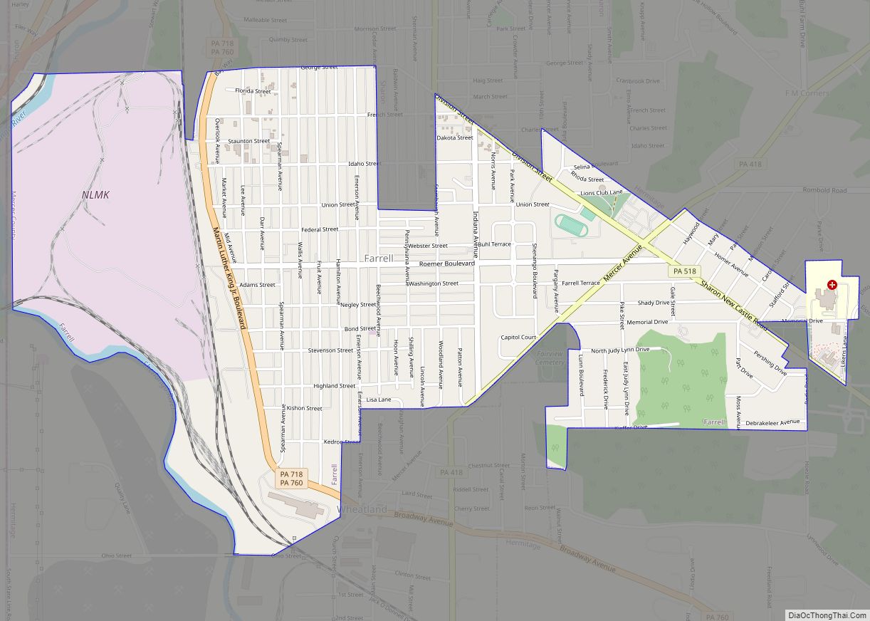
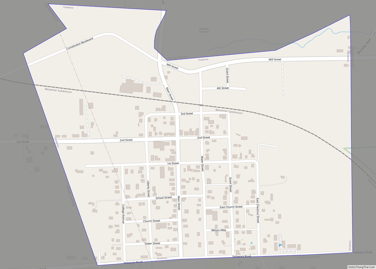
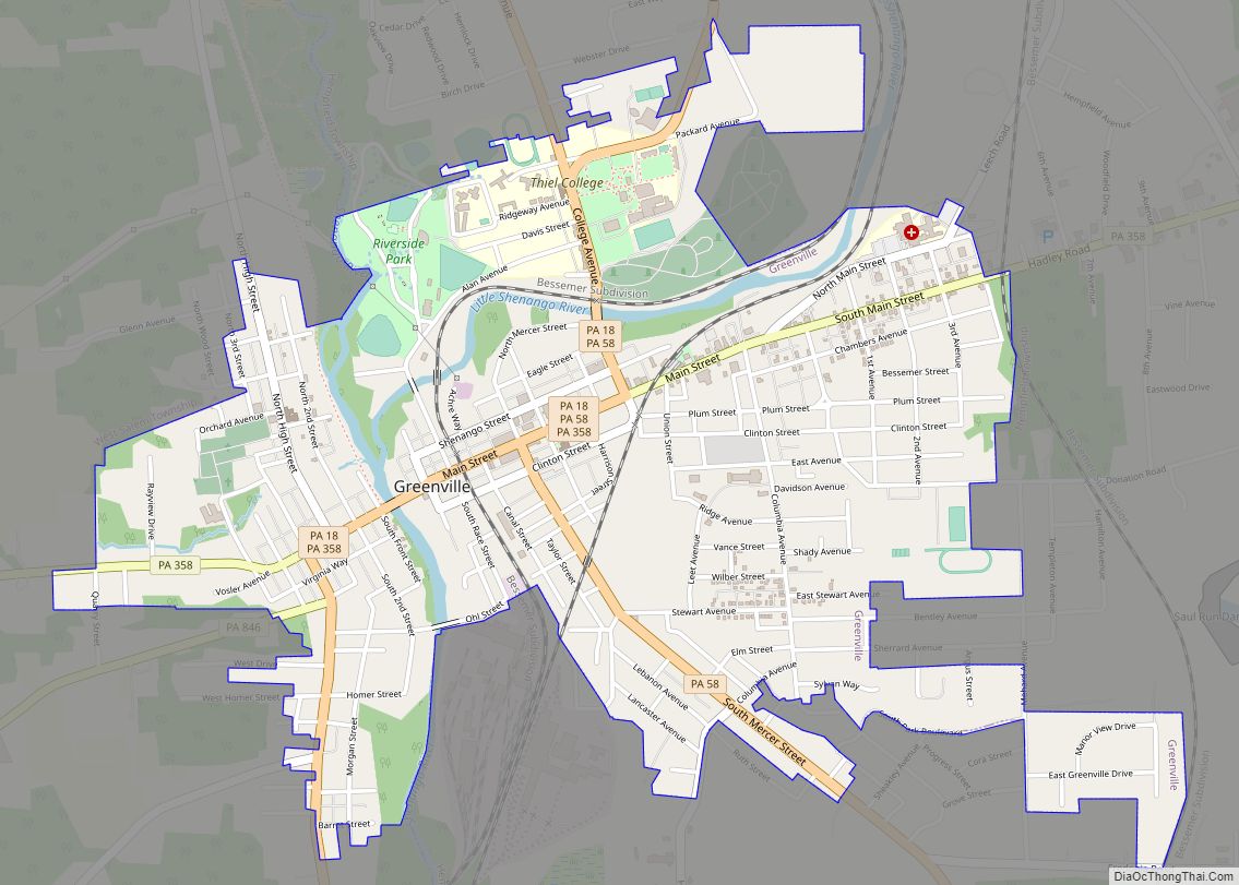
Sharpsville Road Map
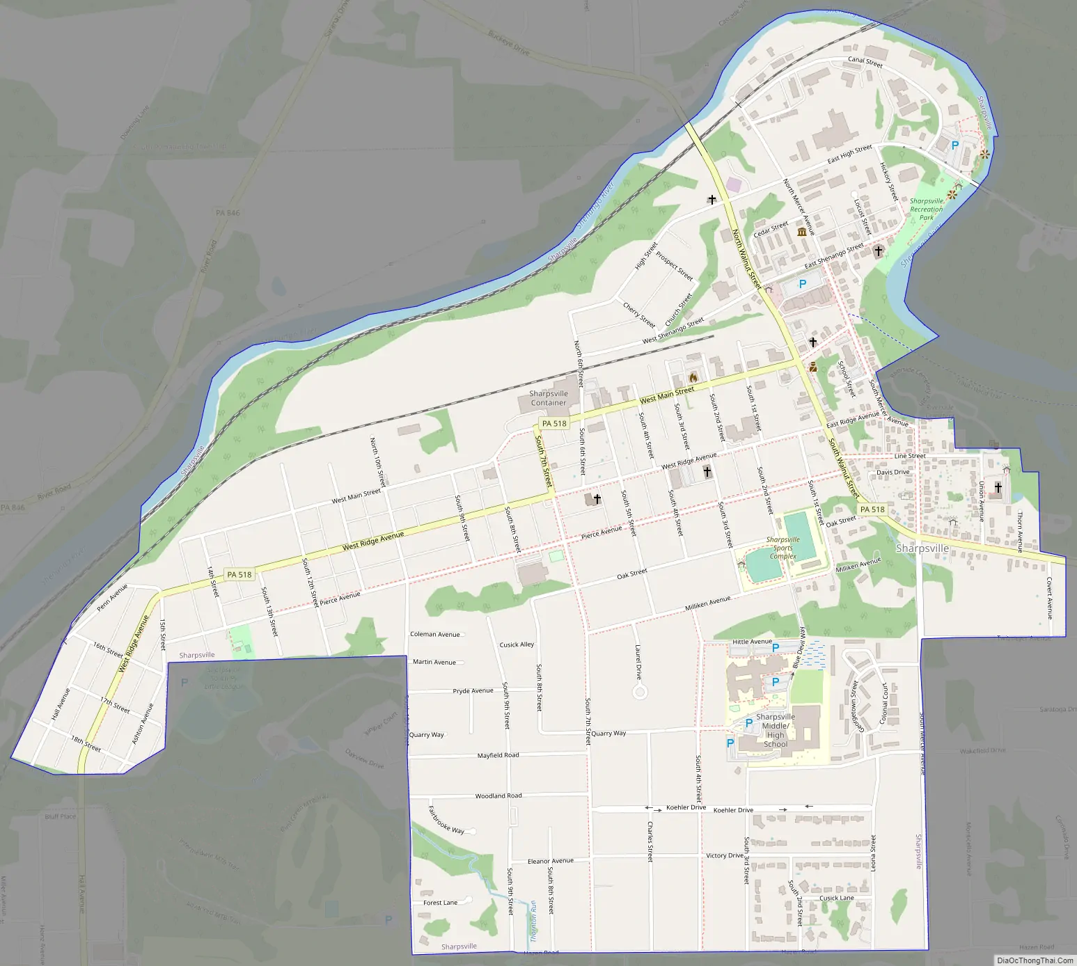
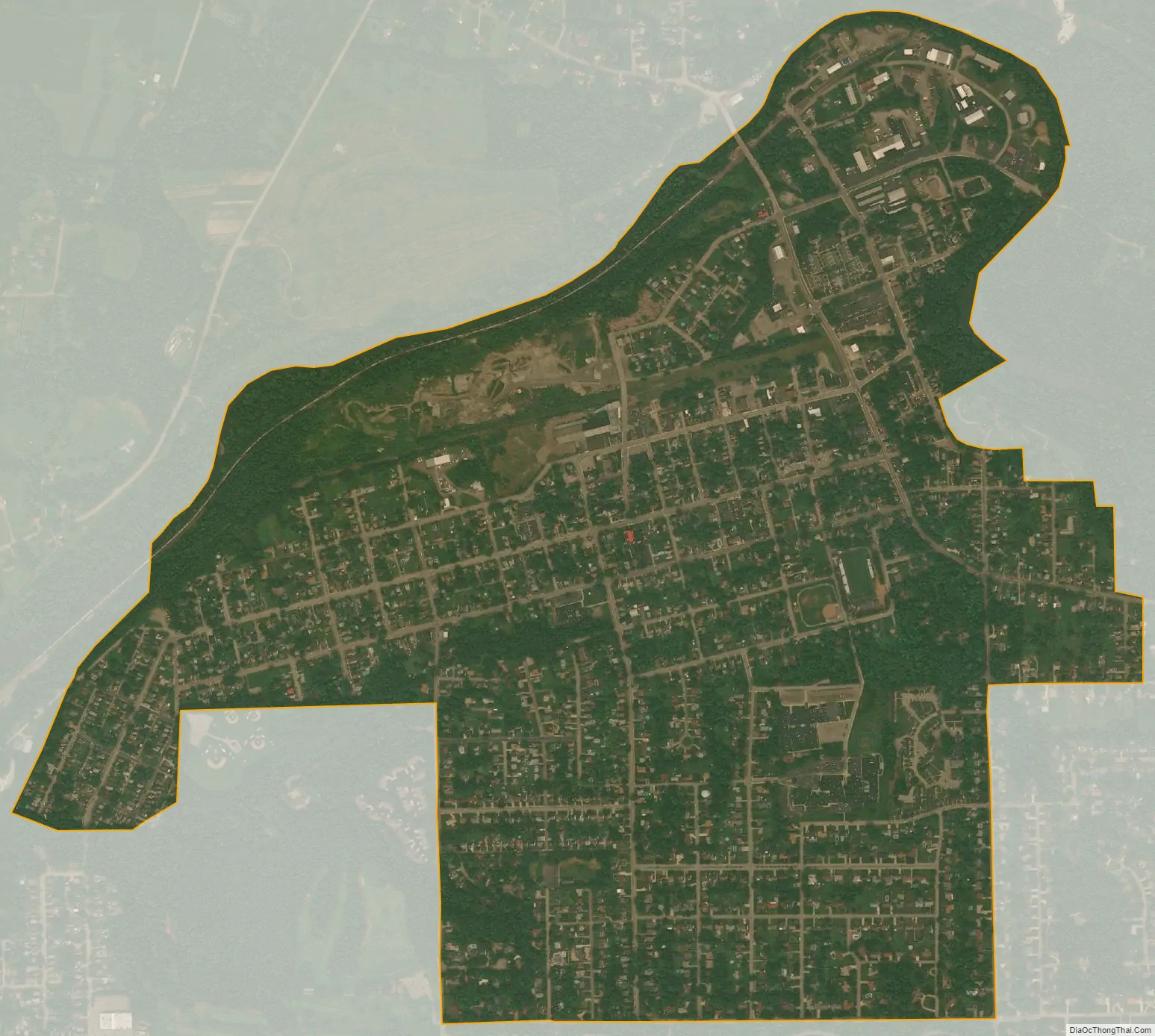
Sharpsville city Satellite Map
Geography
Sharpsville is located at 41°15′32″N 80°28′54″W / 41.25889°N 80.48167°W / 41.25889; -80.48167 (41.259005, -80.481791).
According to the United States Census Bureau, the borough has a total area of 1.4 square miles (3.6 km), of which 1.4 square miles (3.6 km) is land and 0.04 square miles (0.10 km) (1.42%) is water.
See also
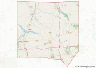
Map of Pennsylvania State and its subdivision:- Adams
- Allegheny
- Armstrong
- Beaver
- Bedford
- Berks
- Blair
- Bradford
- Bucks
- Butler
- Cambria
- Cameron
- Carbon
- Centre
- Chester
- Clarion
- Clearfield
- Clinton
- Columbia
- Crawford
- Cumberland
- Dauphin
- Delaware
- Elk
- Erie
- Fayette
- Forest
- Franklin
- Fulton
- Greene
- Huntingdon
- Indiana
- Jefferson
- Juniata
- Lackawanna
- Lancaster
- Lawrence
- Lebanon
- Lehigh
- Luzerne
- Lycoming
- Mc Kean
- Mercer
- Mifflin
- Monroe
- Montgomery
- Montour
- Northampton
- Northumberland
- Perry
- Philadelphia
- Pike
- Potter
- Schuylkill
- Snyder
- Somerset
- Sullivan
- Susquehanna
- Tioga
- Union
- Venango
- Warren
- Washington
- Wayne
- Westmoreland
- Wyoming
- York
- Alabama
- Alaska
- Arizona
- Arkansas
- California
- Colorado
- Connecticut
- Delaware
- District of Columbia
- Florida
- Georgia
- Hawaii
- Idaho
- Illinois
- Indiana
- Iowa
- Kansas
- Kentucky
- Louisiana
- Maine
- Maryland
- Massachusetts
- Michigan
- Minnesota
- Mississippi
- Missouri
- Montana
- Nebraska
- Nevada
- New Hampshire
- New Jersey
- New Mexico
- New York
- North Carolina
- North Dakota
- Ohio
- Oklahoma
- Oregon
- Pennsylvania
- Rhode Island
- South Carolina
- South Dakota
- Tennessee
- Texas
- Utah
- Vermont
- Virginia
- Washington
- West Virginia
- Wisconsin
- Wyoming