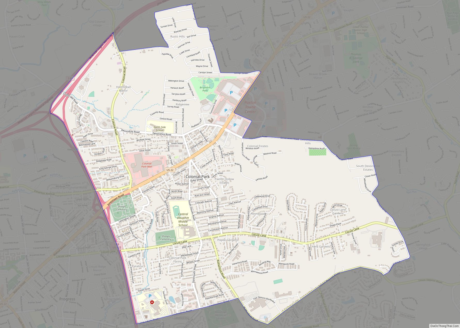
Colonial Park is an unincorporated community and census-designated place (CDP) in Lower Paxton Township, Pennsylvania, United States. The population was 13,229 at the 2010 census. It is part of the Harrisburg–Carlisle Metropolitan Statistical Area. It uses the Harrisburg ZIP code of 17109 and hosts a great deal of the area’s retail activity, including the Colonial Park Mall.
| Name: | Colonial Park CDP |
|---|---|
| LSAD Code: | 57 |
| LSAD Description: | CDP (suffix) |
| State: | Pennsylvania |
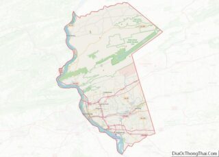
| County: | Dauphin County |
| Elevation: | 500 ft (200 m) |
| Total Area: | 5.04 sq mi (13.06 km²) |
| Land Area: | 5.04 sq mi (13.06 km²) |
| Water Area: | 0.00 sq mi (0.00 km²) |
| Total Population: | 16,243 |
| Population Density: | 3,221.54/sq mi (1,243.84/km²) |
| ZIP code: | 17109 |
| Area code: | 717 |
| FIPS code: | 4215328 |
| GNISfeature ID: | 1172233 |
Online Interactive Map
Click on ![]() to view map in "full screen" mode.
to view map in "full screen" mode.
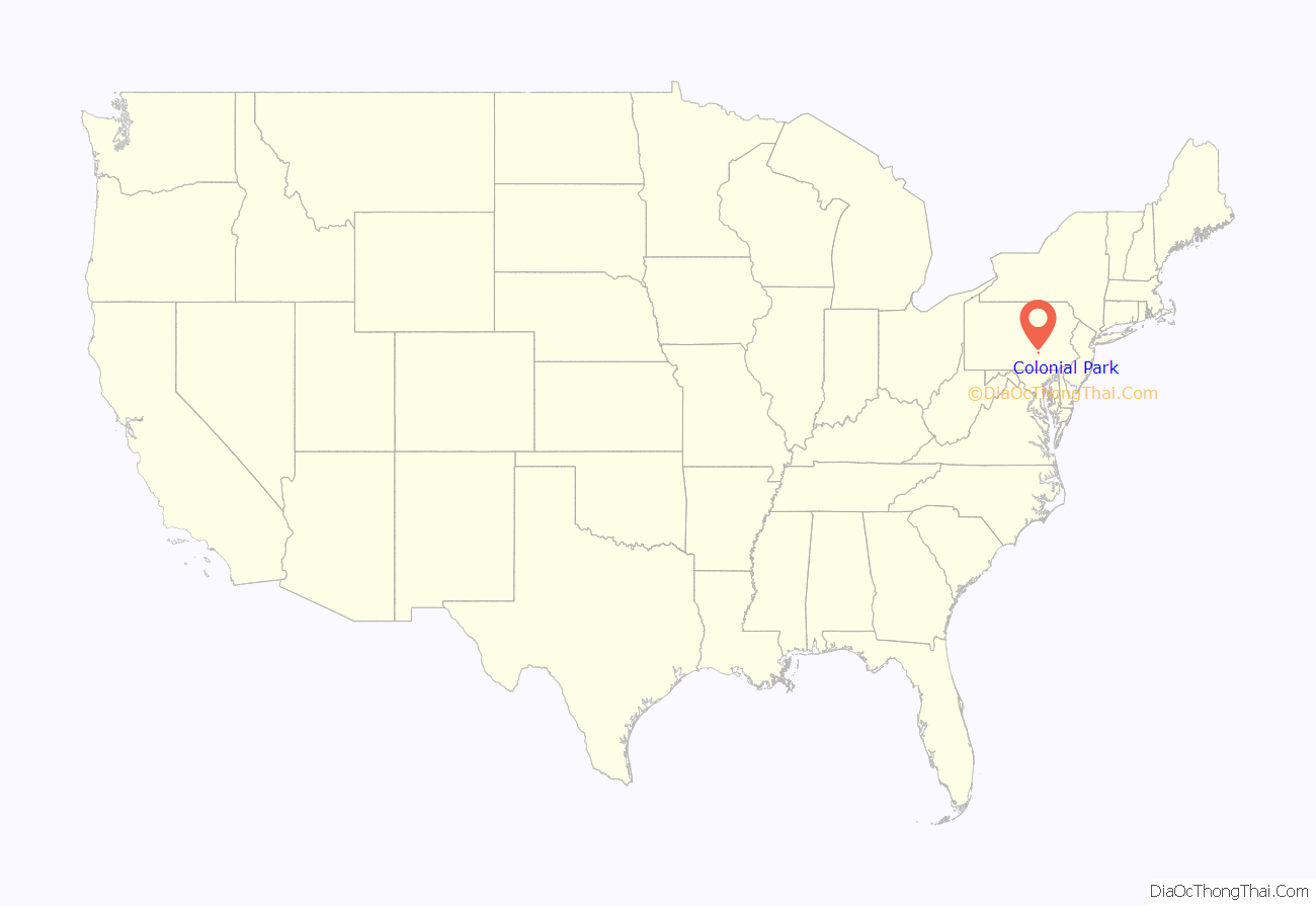
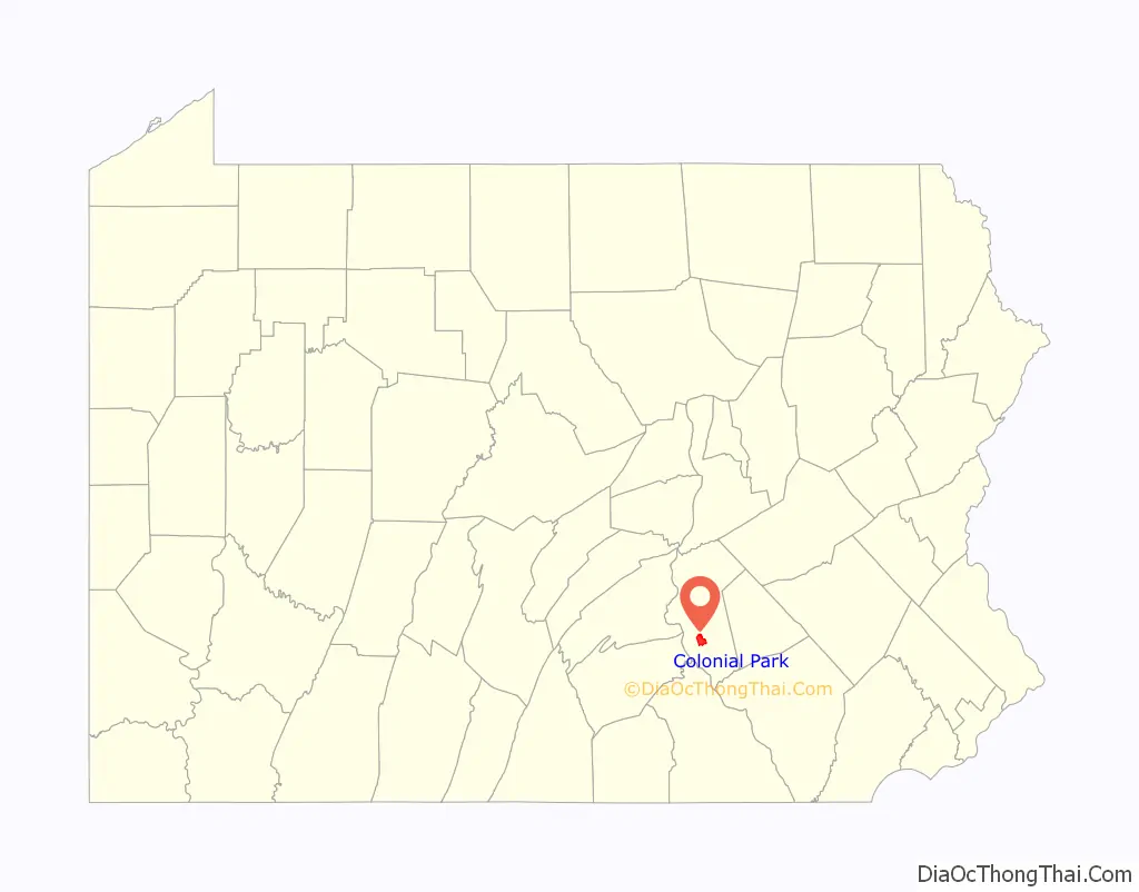
Colonial Park location map. Where is Colonial Park CDP?
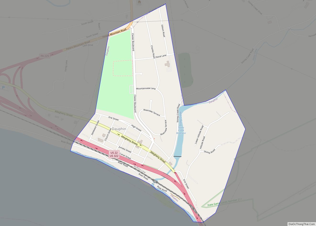
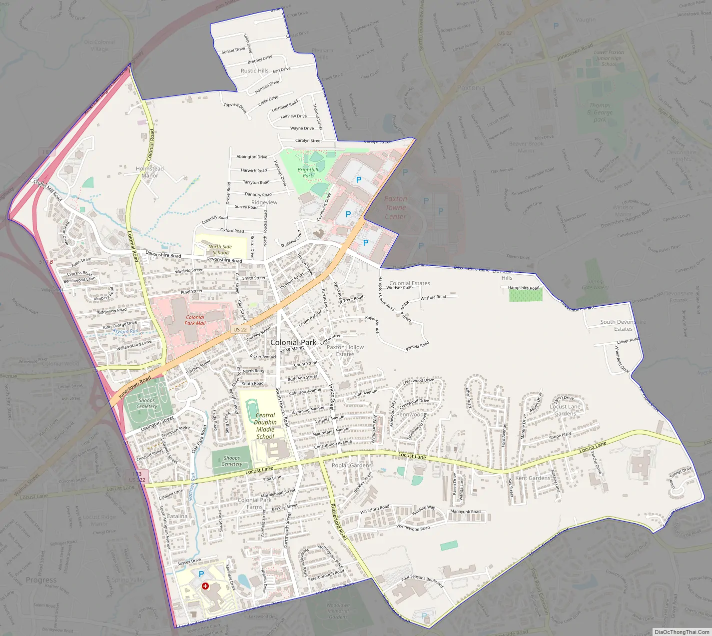
Colonial Park Road Map
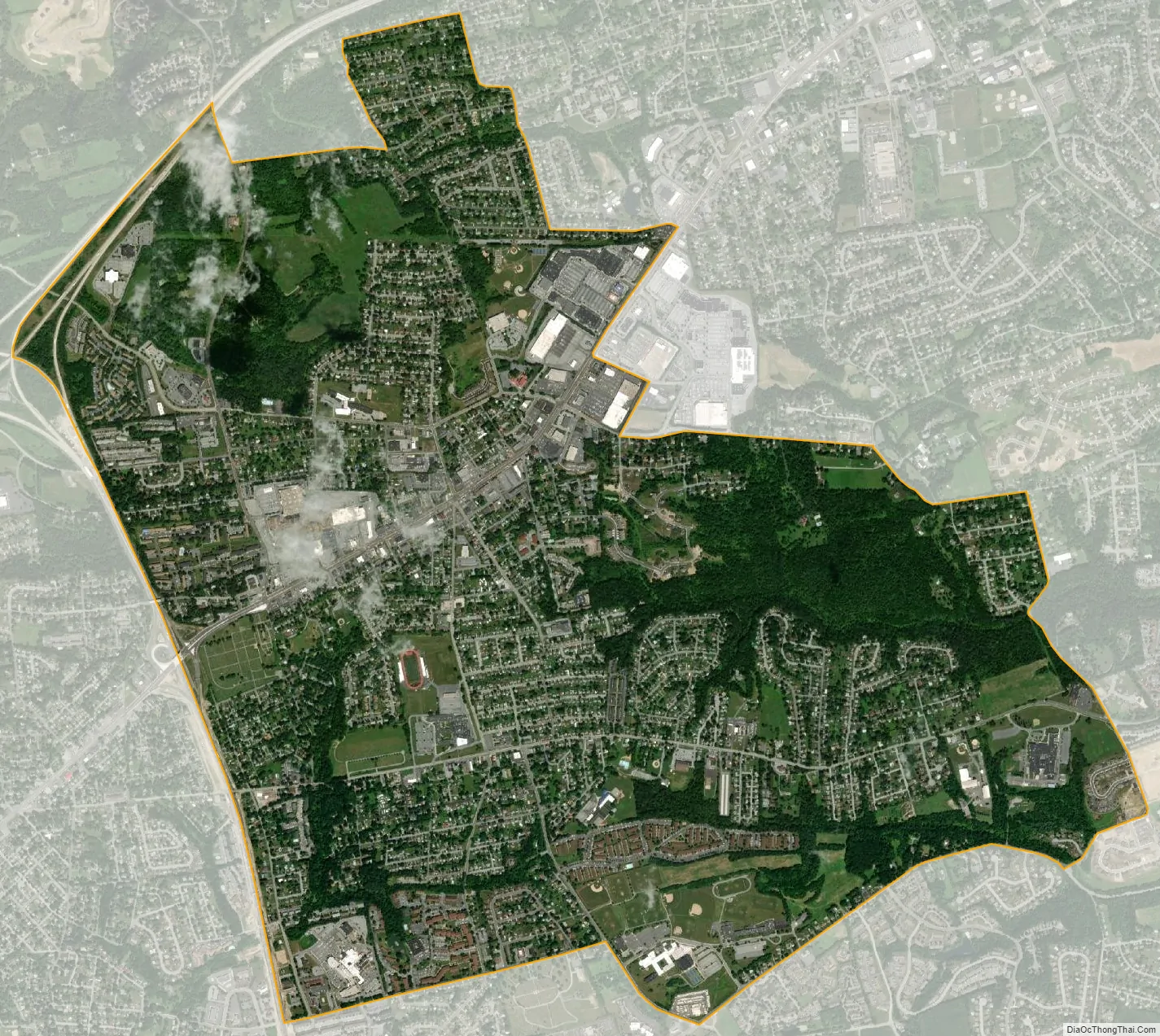
Colonial Park city Satellite Map
Geography
Colonial Park is located in the southwestern quadrant of Lower Paxton Township at 40°17′56″N 76°48′33″W / 40.29889°N 76.80917°W / 40.29889; -76.80917 (40.298789, -76.809067). It is bordered to the northeast by Paxtonia and to the west by Progress. Interstate 83 forms the western boundary of the CDP. U.S. Route 22 (Jonestown Road) is the main highway through Colonial Park, leading west 5 miles (8 km) to downtown Harrisburg and east 23 miles (37 km) to Fredericksburg.
According to the United States Census Bureau, the CDP has a total area of 4.7 square miles (12.3 km), all land.
See also
Map of Pennsylvania State and its subdivision:- Adams
- Allegheny
- Armstrong
- Beaver
- Bedford
- Berks
- Blair
- Bradford
- Bucks
- Butler
- Cambria
- Cameron
- Carbon
- Centre
- Chester
- Clarion
- Clearfield
- Clinton
- Columbia
- Crawford
- Cumberland
- Dauphin
- Delaware
- Elk
- Erie
- Fayette
- Forest
- Franklin
- Fulton
- Greene
- Huntingdon
- Indiana
- Jefferson
- Juniata
- Lackawanna
- Lancaster
- Lawrence
- Lebanon
- Lehigh
- Luzerne
- Lycoming
- Mc Kean
- Mercer
- Mifflin
- Monroe
- Montgomery
- Montour
- Northampton
- Northumberland
- Perry
- Philadelphia
- Pike
- Potter
- Schuylkill
- Snyder
- Somerset
- Sullivan
- Susquehanna
- Tioga
- Union
- Venango
- Warren
- Washington
- Wayne
- Westmoreland
- Wyoming
- York
- Alabama
- Alaska
- Arizona
- Arkansas
- California
- Colorado
- Connecticut
- Delaware
- District of Columbia
- Florida
- Georgia
- Hawaii
- Idaho
- Illinois
- Indiana
- Iowa
- Kansas
- Kentucky
- Louisiana
- Maine
- Maryland
- Massachusetts
- Michigan
- Minnesota
- Mississippi
- Missouri
- Montana
- Nebraska
- Nevada
- New Hampshire
- New Jersey
- New Mexico
- New York
- North Carolina
- North Dakota
- Ohio
- Oklahoma
- Oregon
- Pennsylvania
- Rhode Island
- South Carolina
- South Dakota
- Tennessee
- Texas
- Utah
- Vermont
- Virginia
- Washington
- West Virginia
- Wisconsin
- Wyoming