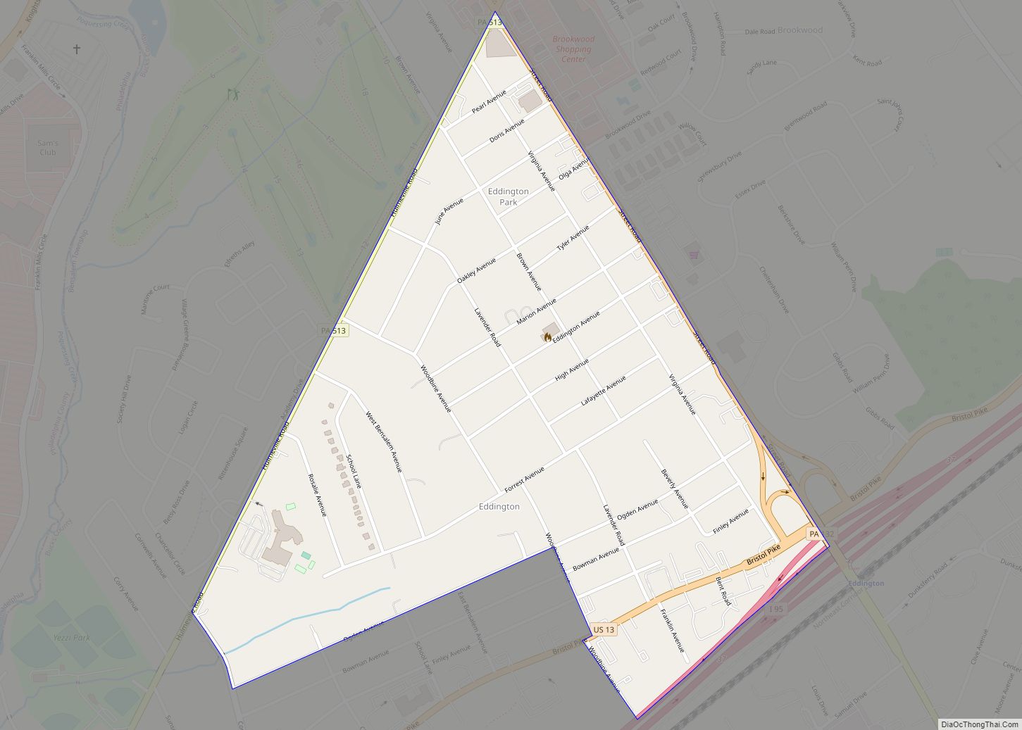
Dublin is a borough in Bucks County, Pennsylvania. The population was 2,158 at the 2010 census. Dublin is part of Pennridge School District.
| Name: | Dublin borough |
|---|---|
| LSAD Code: | 21 |
| LSAD Description: | borough (suffix) |
| State: | Pennsylvania |
| County: | Bucks County |
| Elevation: | 597 ft (182 m) |
| Total Area: | 0.58 sq mi (1.51 km²) |
| Land Area: | 0.58 sq mi (1.51 km²) |
| Water Area: | 0.00 sq mi (0.00 km²) |
| Total Population: | 2,177 |
| Population Density: | 3,734.13/sq mi (1,442.08/km²) |
| ZIP code: | 18917 |
| FIPS code: | 4220104 |
| Website: | www.dublinborough.org |
Online Interactive Map
Click on ![]() to view map in "full screen" mode.
to view map in "full screen" mode.
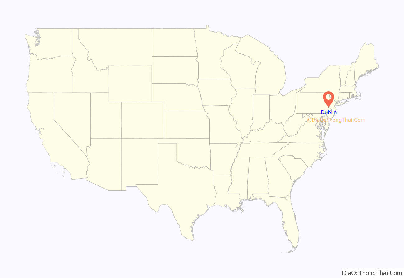
Dublin location map. Where is Dublin borough?
History
Prior to the arrival of europeans the area was occupied by the Lenape people. Early settlers were predominately Irish followed by Germans. Local lore holds that the second tavern built on the site of the first tavern was a double log cabin with a chimney built between them, and that the name was derived from “Double Inn”, but there is no documentation to support this. It is likely that the name was derived from the city in Ireland. A letter written by Reverend Uriah DuBois date Durham, April 21, 1798 is the first known mention of Dublin. In an agreement of sale for the tavern and 76 acres (31 ha) of land by Isaac Morris, of Hatfield, to Charles Brock, of Hilltown Township for $6400 dated December 12, 1817, Dublin was referred to as “the village of Dublin”.
In 1832, locals attempted to erect Dublin into a township. The petition signed by _____ Angelmoyer, Samuel Angeny, Isaac Bechtel, Enos Cassel, Isaac Cassel, Joseph Detweiler, Christian Eckert, Philip Fluck, Abraham Fritz, Enos Hunsberger, Samuel Kile, Dielman Kolb, Henry Kolb, Jacob Kolb, Michael Kulp, Joseph Moyer, Samuel Moyer, Daniel Richert, John Wats and Samuel Wright was presented to Judge John Fox, failed. A second attempt in 1841 included some residents of New Britain Township also failed. Dublin was finally erected into a borough in 1912.
The first post office of Dublin was opened on April 18, 1827, Newton Rowland, postmaster. Prior to 1827, mail was delivered from Doylestown and Hilltown. William Rowland of Dublin served in the Pennsylvania General Assembly from 1812-1815. For many years, J. D. Moyer & Co. was one of the largest and most successful country stores in the county.
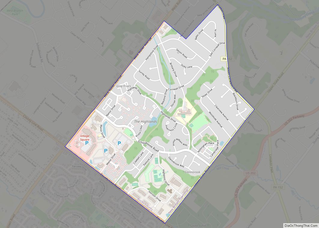
Dublin Road Map
Dublin city Satellite Map
Geography
Dublin is located at 40°22′24″N 75°12′9″W / 40.37333°N 75.20250°W / 40.37333; -75.20250 (40.373270, -75.202464). According to the U.S. Census Bureau, the borough has a total area of 0.5 square miles (1.3 km), all land.
See also
Map of Pennsylvania State and its subdivision:- Adams
- Allegheny
- Armstrong
- Beaver
- Bedford
- Berks
- Blair
- Bradford
- Bucks
- Butler
- Cambria
- Cameron
- Carbon
- Centre
- Chester
- Clarion
- Clearfield
- Clinton
- Columbia
- Crawford
- Cumberland
- Dauphin
- Delaware
- Elk
- Erie
- Fayette
- Forest
- Franklin
- Fulton
- Greene
- Huntingdon
- Indiana
- Jefferson
- Juniata
- Lackawanna
- Lancaster
- Lawrence
- Lebanon
- Lehigh
- Luzerne
- Lycoming
- Mc Kean
- Mercer
- Mifflin
- Monroe
- Montgomery
- Montour
- Northampton
- Northumberland
- Perry
- Philadelphia
- Pike
- Potter
- Schuylkill
- Snyder
- Somerset
- Sullivan
- Susquehanna
- Tioga
- Union
- Venango
- Warren
- Washington
- Wayne
- Westmoreland
- Wyoming
- York
- Alabama
- Alaska
- Arizona
- Arkansas
- California
- Colorado
- Connecticut
- Delaware
- District of Columbia
- Florida
- Georgia
- Hawaii
- Idaho
- Illinois
- Indiana
- Iowa
- Kansas
- Kentucky
- Louisiana
- Maine
- Maryland
- Massachusetts
- Michigan
- Minnesota
- Mississippi
- Missouri
- Montana
- Nebraska
- Nevada
- New Hampshire
- New Jersey
- New Mexico
- New York
- North Carolina
- North Dakota
- Ohio
- Oklahoma
- Oregon
- Pennsylvania
- Rhode Island
- South Carolina
- South Dakota
- Tennessee
- Texas
- Utah
- Vermont
- Virginia
- Washington
- West Virginia
- Wisconsin
- Wyoming
