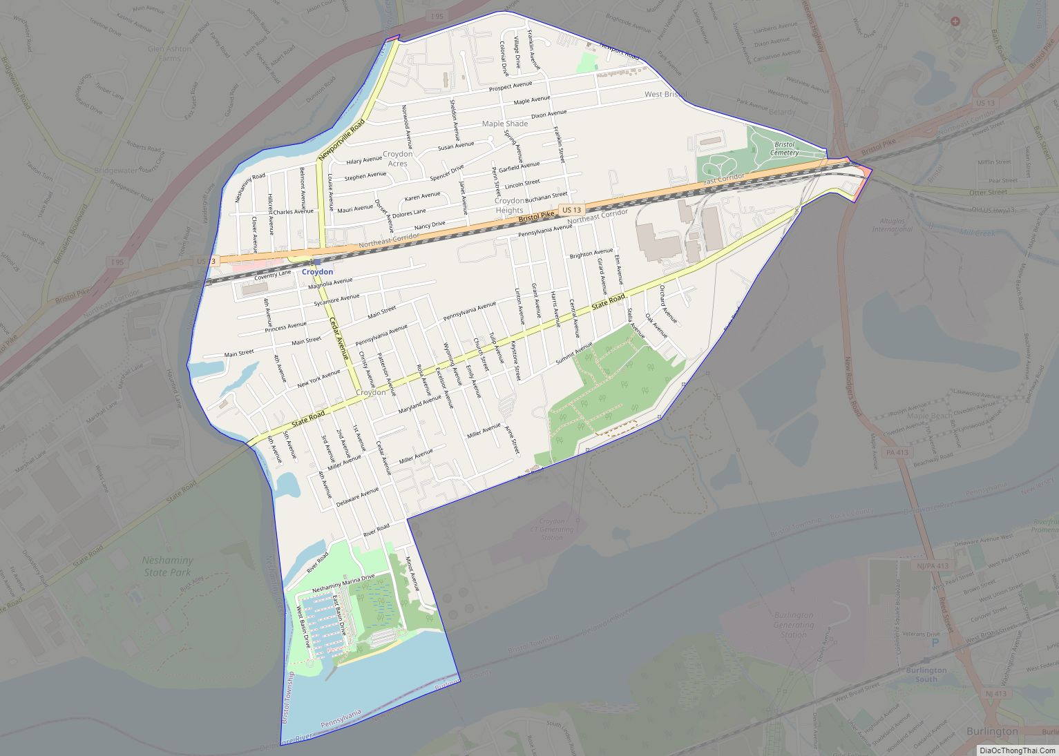
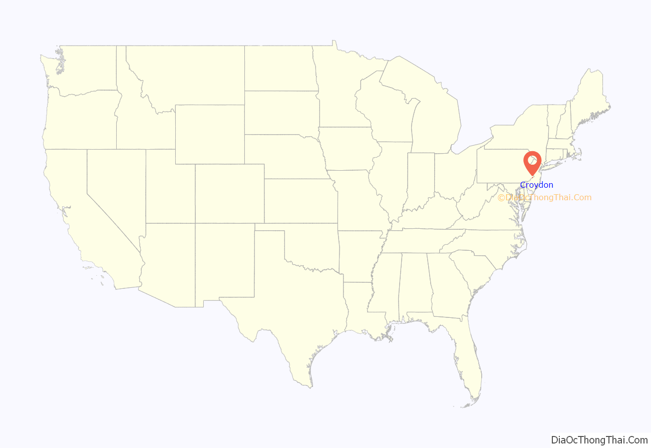
Croydon is a census-designated place located in Bristol Township, Bucks County, Pennsylvania, United States. As of the 2010 census, the CDP had a total population of 9,950.
Croydon is located 68.9 miles (110.9 km) southeast of Allentown and 18.5 miles (29.8 km) northeast of Philadelphia.
| Name: | Croydon CDP |
|---|---|
| LSAD Code: | 57 |
| LSAD Description: | CDP (suffix) |
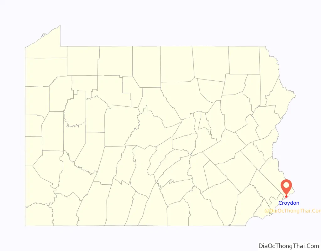
| State: | Pennsylvania |
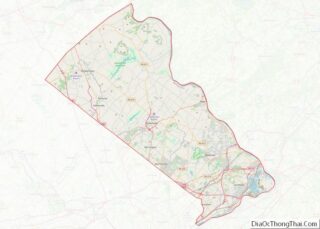
| County: | Bucks County |
| Elevation: | 20 ft (6 m) |
| Total Area: | 2.69 sq mi (6.95 km²) |
| Land Area: | 2.48 sq mi (6.42 km²) |
| Water Area: | 0.21 sq mi (0.54 km²) |
| Total Population: | 10,014 |
| Population Density: | 4,041.16/sq mi (1,560.13/km²) |
| ZIP code: | 19021 |
| FIPS code: | 4217448 |
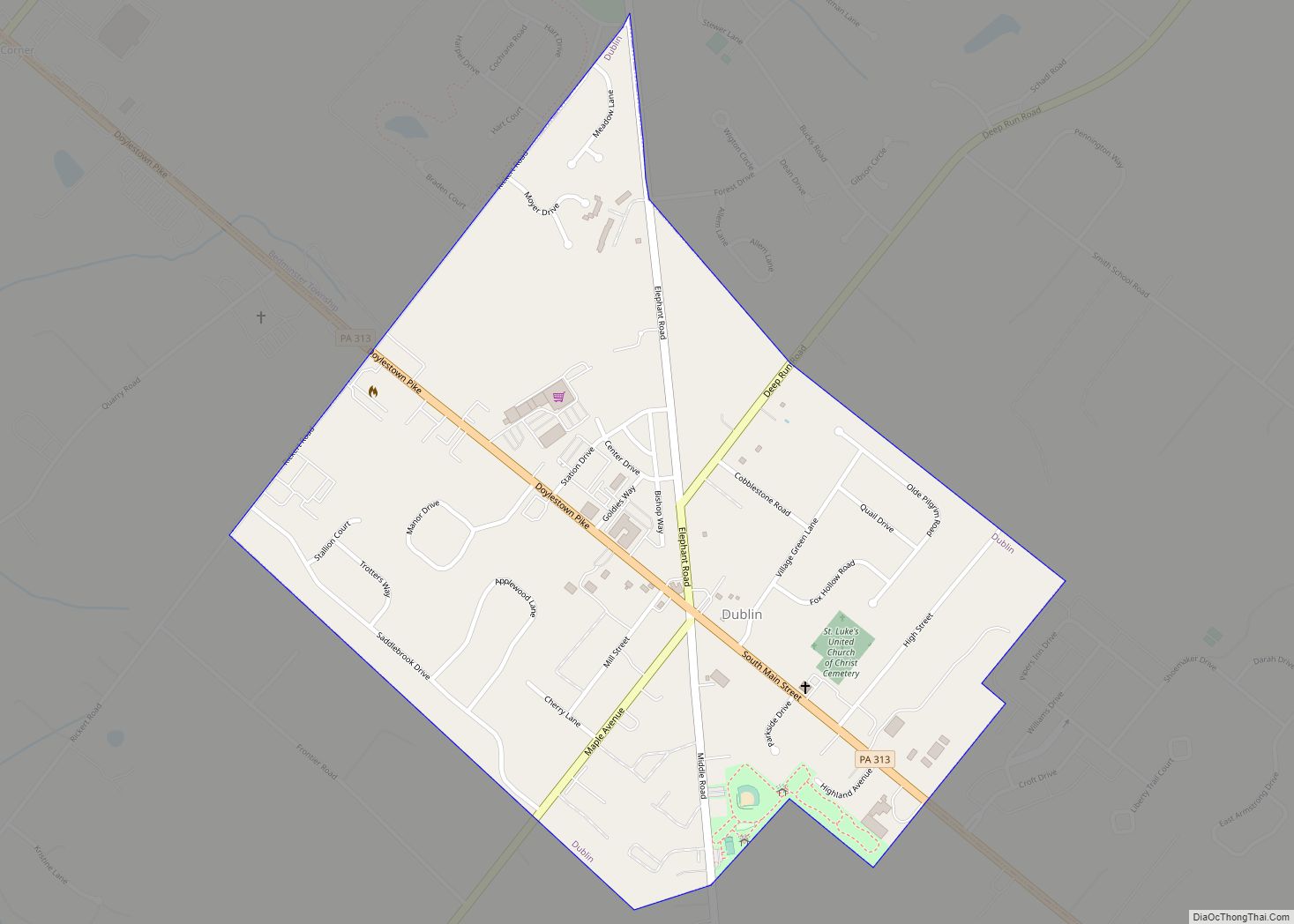
Online Interactive Map
Click on ![]() to view map in "full screen" mode.
to view map in "full screen" mode.
Croydon location map. Where is Croydon CDP?
History
The name Croydon comes from the town of Croydon in South-East England; nine miles south of the historic center of London, it was traditionally part of Surrey but is now the center of the London Borough of Croydon.
The White Hall of Bristol College was listed on the National Register of Historic Places in 1984.
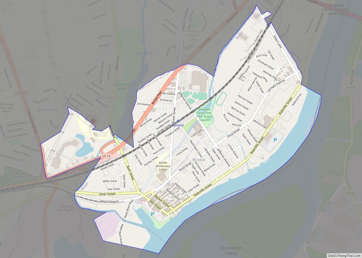
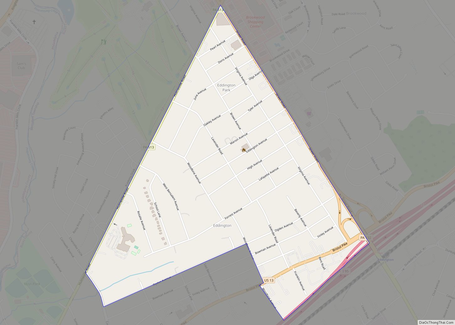
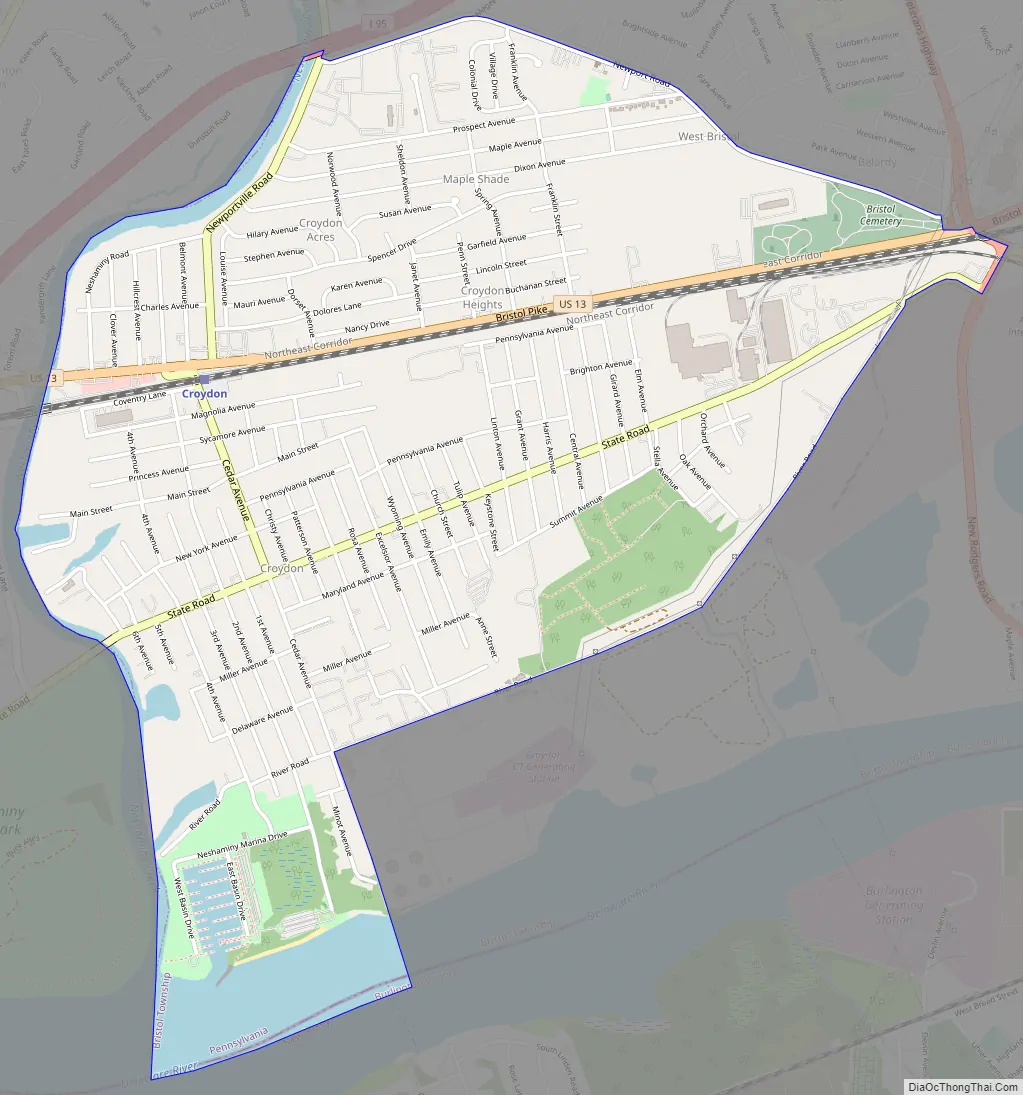
Croydon Road Map
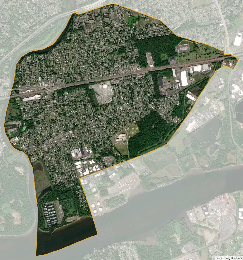
Croydon city Satellite Map
Geography
Croydon is located at 40°5’36” North, 74°53’57” West (40.093443, -74.899128).
According to the United States Census Bureau, the CDP has a total area of 6.4 km (2.5 sq mi), all land. Croydon is bordered to the south by Neshaminy Creek, which is tidal, and navigable by small vessels (approximately 8 ft (2.4 m) to 6 ft (1.8 m) draft at high tide). There are several private marinas on the Neshaminy, and a Commonwealth of Pennsylvania marina (part of Neshaminy State Park) at the mouth of the creek. The Neshaminy empties into the Delaware River, which borders Croydon to the east, and forms the boundary between Pennsylvania and New Jersey. The Delaware is tidal in Croydon, and is navigable by ocean-going vessels (40 foot marked / maintained channel) as far upriver as Trenton, New Jersey.
Croydon has a humid subtropical climate and average monthly temperatures range from 32.8° F in January to 76.6° F in July. The local hardiness zone is 7a.
See also
Map of Pennsylvania State and its subdivision:- Adams
- Allegheny
- Armstrong
- Beaver
- Bedford
- Berks
- Blair
- Bradford
- Bucks
- Butler
- Cambria
- Cameron
- Carbon
- Centre
- Chester
- Clarion
- Clearfield
- Clinton
- Columbia
- Crawford
- Cumberland
- Dauphin
- Delaware
- Elk
- Erie
- Fayette
- Forest
- Franklin
- Fulton
- Greene
- Huntingdon
- Indiana
- Jefferson
- Juniata
- Lackawanna
- Lancaster
- Lawrence
- Lebanon
- Lehigh
- Luzerne
- Lycoming
- Mc Kean
- Mercer
- Mifflin
- Monroe
- Montgomery
- Montour
- Northampton
- Northumberland
- Perry
- Philadelphia
- Pike
- Potter
- Schuylkill
- Snyder
- Somerset
- Sullivan
- Susquehanna
- Tioga
- Union
- Venango
- Warren
- Washington
- Wayne
- Westmoreland
- Wyoming
- York
- Alabama
- Alaska
- Arizona
- Arkansas
- California
- Colorado
- Connecticut
- Delaware
- District of Columbia
- Florida
- Georgia
- Hawaii
- Idaho
- Illinois
- Indiana
- Iowa
- Kansas
- Kentucky
- Louisiana
- Maine
- Maryland
- Massachusetts
- Michigan
- Minnesota
- Mississippi
- Missouri
- Montana
- Nebraska
- Nevada
- New Hampshire
- New Jersey
- New Mexico
- New York
- North Carolina
- North Dakota
- Ohio
- Oklahoma
- Oregon
- Pennsylvania
- Rhode Island
- South Carolina
- South Dakota
- Tennessee
- Texas
- Utah
- Vermont
- Virginia
- Washington
- West Virginia
- Wisconsin
- Wyoming