Doylestown is a borough and the county seat of Bucks County in Pennsylvania, United States. It is located 20 miles (32 km) northwest of Trenton, 25 miles (40 km) north of Center City, Philadelphia, 27 miles (43 km) southeast of Allentown, and 66 miles (106 km) southwest of New York City. It constitutes part of the Delaware Valley (i.e. the Philadelphia metro area).
As of the 2020 census, the borough population was 8,300.
| Name: | Doylestown borough |
|---|---|
| LSAD Code: | 21 |
| LSAD Description: | borough (suffix) |
| State: | Pennsylvania |
| County: | Bucks County |
| Founded: | 1745 |
| Elevation: | 456 ft (139 m) |
| Total Area: | 2.16 sq mi (5.59 km²) |
| Land Area: | 2.16 sq mi (5.59 km²) |
| Water Area: | 0.00 sq mi (0.00 km²) |
| Total Population: | 8,300 |
| Population Density: | 3,847.94/sq mi (1,485.56/km²) |
| FIPS code: | 4219784 |
| Website: | www.doylestownborough.net |
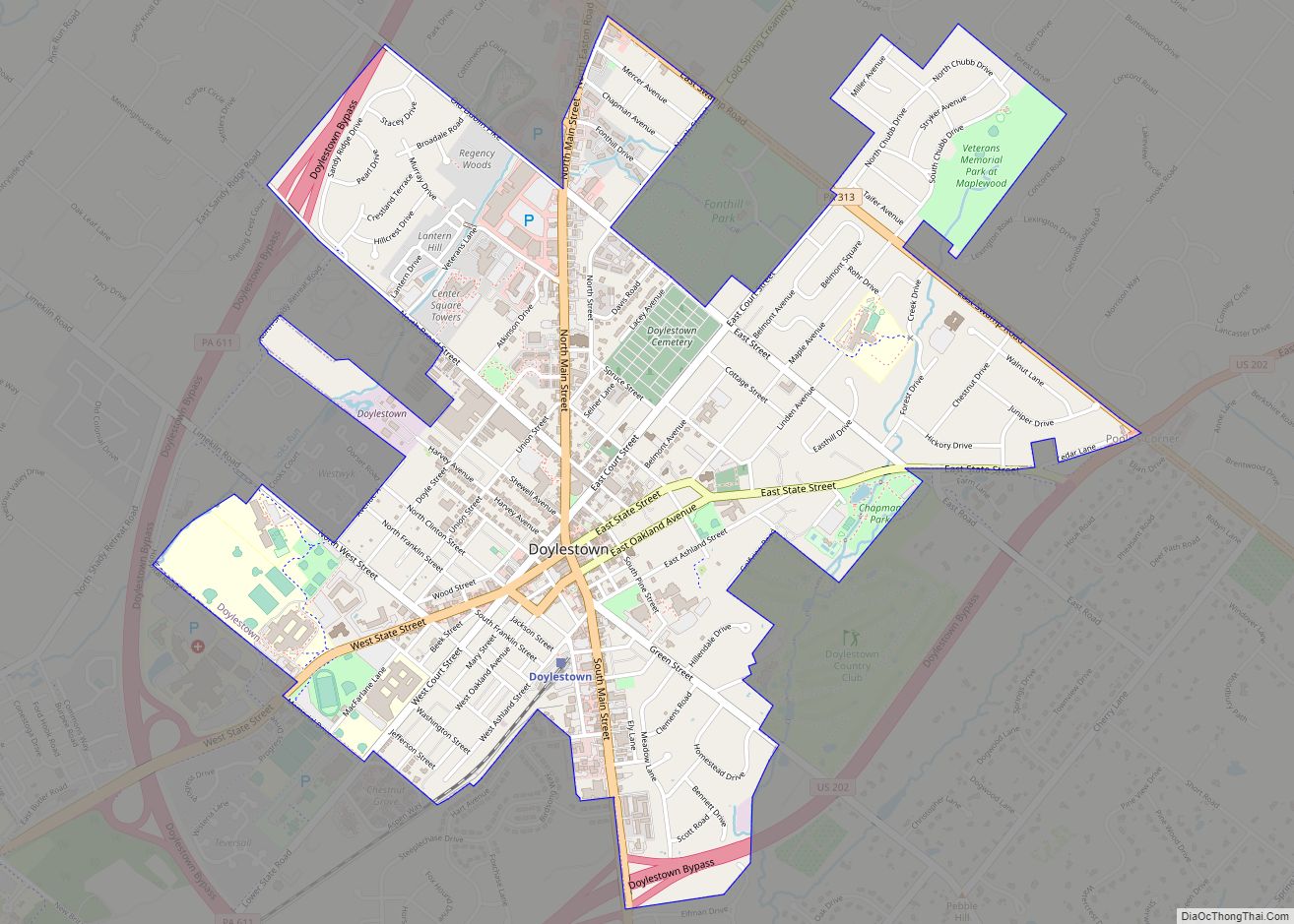
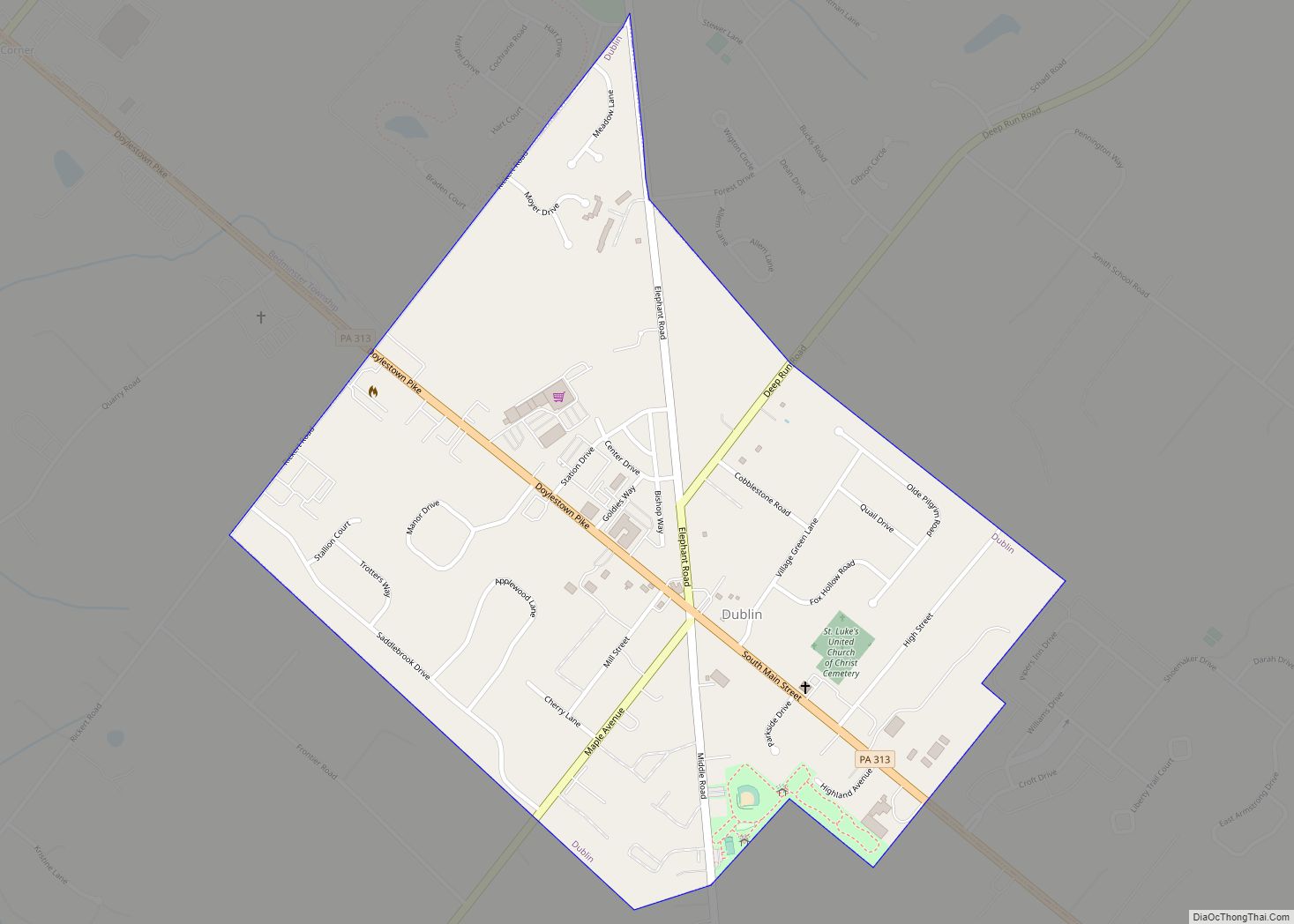
Online Interactive Map
Click on ![]() to view map in "full screen" mode.
to view map in "full screen" mode.
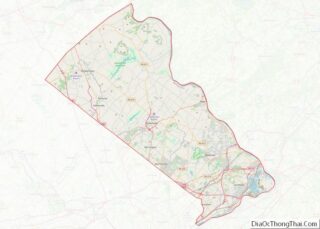
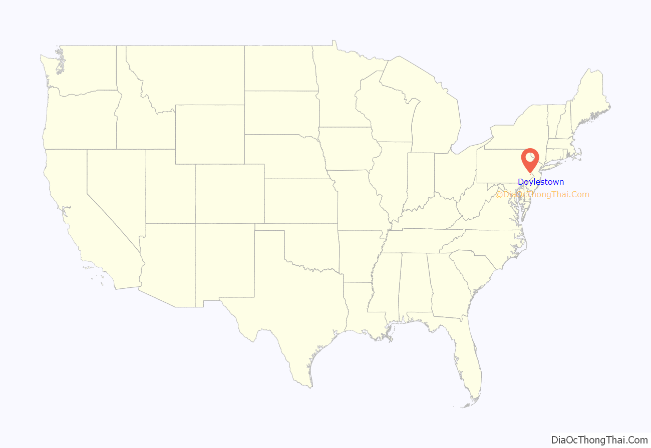
Doylestown location map. Where is Doylestown borough?
History
Like most of the region, the area of Doylestown was inhabited by the Lenape people until the arrival of the Europeans.
Doylestown’s origins date to March 1745 when Irishman William Doyle obtained a license to build a tavern on what is now the northwest corner of Dyers Road and Coryell’s Ferry Road (now Main and State Streets). Known for years as “William Doyle’s Tavern,” its strategic location, at the intersection of the road (now U.S. Route 202) linking Swede’s Ford (Norristown) and Coryell’s Ferry (New Hope) and the road (now PA Route 611) linking Philadelphia and Easton, allowed the hamlet to grow into a village. The first church was erected in 1815, followed by a succession of congregations throughout the 19th century.
A second inn, the Sign of the Ship was established in 1774, built diagonally across from the Doyle Tavern. Samuel Flack was innkeeper in 1778.
As the population of Central and Upper Bucks County grew throughout the 18th and into the 19th century, discontent developed with the county seat’s location in Newtown, where it had been since 1725. Eight petitions with a total of 184 signers were submitted to the General Assembly, some as early as 1784, requesting the move of the county seat to Doylestown. Among the signers were Andrew Armstrong, John Armstrong, John Davis, Andrew Denison, Jesse Fell, Joseph Fell, John Ingham (of Ingham Springs), Michael Frederick Kolb, Zebulon M. Pike (of Lumberton), Samuel Preston, Robert Shewell, Walter Shewell, and Fulkerd Sebring. The General Assembly approved the move by an Act on February 28, 1810, and the first Court session was opened on May 11, 1813. An outgrowth of Doylestown’s new courthouse was the development of “lawyers row”, a collection of Federal-style offices. One positive consequence of early 19th-century investment in the new county seat was organized fire protection, which began in 1825 with the Doylestown Fire Engine Company.
A post office was established on January 1, 1802. Charles Stewart, the first postmaster, carried letters to recipients in the bell-shaped crown of his high beaver hat as he walked about the village. When Stewart died on February 7, 1804, his son-in-law Enoch Harvey became the next postmaster. On October 9, 1804 Harvey advertised in the Pennsylvania Correspondent, published in Doylestown, of a list of letters remaining in the post office for Wm. R. Hanna, Esq., Newtown; Doct. Felix Robertson, Bucks County; Robert Wehir, Shamony, Bucks County; Robert A. Farmer, Esq., Birdsborough; Israel Childs, Buckingham.
A bill to erect Doylestown into a borough was introduced into Legislature in February 1830, but failed, as well as a second attempt in the session of 1832. “An Act to erect the Village of Doylestown, in the County of Bucks, into a Borough” was passed and signed into law by Governor Joseph Ritner on April 16, 1838.
An electric telegraph station was built in 1846, and the North Pennsylvania Railroad completed a branch to Doylestown in 1856. The first gas lights were introduced in 1854. Because of the town’s relatively high elevation and a lack of strong water power, substantial industrial development never occurred and Doylestown evolved to have a professional and residential character.
During the mid-19th century, several large tracts located east of the courthouse area were subdivided into neighborhoods. The next significant wave of development occurred after the Civil War, when the 30-acre (12 ha) Magill property to the southwest of the town’s core was subdivided for residential lots.
In 1869, Doylestown established a water works. The first telephone line arrived in 1878, the same year that a new courthouse was erected. 1897 saw the first of several trolley lines connecting Doylestown with Willow Grove, Newtown and Easton. A private sewer system and treatment plant were authorized in 1903. The borough took over and expanded sewer service to about three-quarters of the town in 1921.
In the early 20th century, Doylestown became best known to the outside world through the “Tools of the Nation-Maker” museum of the Bucks County Historical Society. Henry Chapman Mercer constructed the reinforced concrete building in 1916 to house his collection of mechanical tools and utensils. Upon his death in 1930, Mercer also left his similarly constructed home Fonthill and adjacent Moravian Pottery and Tile Works, to be operated as a museum. The home was left on the condition that his housekeeper be allowed to live there for the rest of her life. She lived there and gave tours until the mid-1970s.
In 1916, Doylestown Country Club was established and still operates a private golf course and caddy program.
By 1931, the advent of the automobile and improved highway service had put the last trolley line out of business as Doylestonians used the automobile as the primary means of travel within the region. The Great Depression took its toll, as many grand old houses constructed a century earlier fell into disrepair. During the 1930s, the borough also expanded its land area to the north by admission of the tract known as the Doylestown Annex.
In the decade following World War II, Doylestown’s business community boomed. During the 1940s, streets were paved for the first time in two decades and parking meters were introduced downtown in 1948. However, the postwar housing boom did not begin in earnest until the 1950s, when 550 new homes were built. The housing boom continued into the 1960s and 1970s, as more than 1,600 new homes were built during those decades and the borough’s population grew from 5,917 in 1960 to 8,717 in 1980.
As with many small towns across the country, the growth of the postwar decades also brought a new competitor to the downtown business district, the shopping mall. By the 1960s, the toll could be seen in Doylestown by the numerous vacant buildings and dilapidated storefronts in the center of town. The Bucks County Redevelopment Authority responded with a federal urban renewal scheme that called for the demolition of 27 historic buildings. The local business community objected to such wholesale clearance and responded with its own plan called Operation ’64, the Doylestown Plan for Self-Help Downtown Renewal. This private initiative was successful in saving Doylestown’s old buildings and historic character, while improving business at the same time. One historic landmark that could not be saved was the 80-year-old courthouse and clock tower, which was replaced by the present county complex in the early 1960s.
By the end of the 1980s, the downtown business district was again showing the toll of massive new competition from the latest wave of suburban shopping centers, as well as the recession that hit hardest in the northeastern states. In response, the borough council established a volunteer group of civic-minded representatives from business organizations, government, and the residential community to begin formulating plans for the downtown area in 1992. This effort resulted in streetscape improvements composed of cast iron street lamps and brick pavers, facade improvements and other beautification efforts, and the establishment of a Main Street Manager Program.
As the 1990s progressed, the downtown area rebuilt itself largely by turning to an out-of-town audience. Doylestown had long been respected as a bucolic tourist destination. The gentry of Philadelphia and New York, including figures of the Manhattan theater and literary scenes, maintained country estates in the area and often summered there. The Mercer Museum, Moravian Pottery and Tile Works, and the local National Shrine of Our Lady of Czestochowa brought a regular stream of short-term visitors through the area as well. With charitable support, the art deco County Theater was restored and reopened showing art-house fare, and a new main library and art museum were built around the ruins of the old stone jail, across the street from the Mercer Museum. An official “resort town” designation exempted the area from liquor license caps, and empty commercial space began to fill with a dense and vibrant nighttime scene of bars and restaurants.
This development goes hand in hand with the broader development of the region. As the Philadelphia metropolitan area expanded from southern into central Bucks County, the fields and farms of the communities around Doylestown quickly began to sprout housing developments. This development brought thousands of people to the area, but the neighborhoods created often lacked longstanding institutions or discernible centers. Doylestown, more centrally located than the Delaware River border town of New Hope, which had traditionally served this function, was able to position itself as the regional center of culture and nightlife.
Archival collection and community programming are two functions of the Doylestown Historical Society, established in 1995, whose mission is “to commemorate and preserve the history of Doylestown so that its people, places and events may long be remembered.”
The Doylestown Historic District, Pugh Dungan House, Fonthill, Fountain House, Oscar Hammerstein II Farm, James-Lorah House, Mercer Museum, Moravian Pottery and Tile Works, and Shaw Historic District are listed on the National Register of Historic Places.
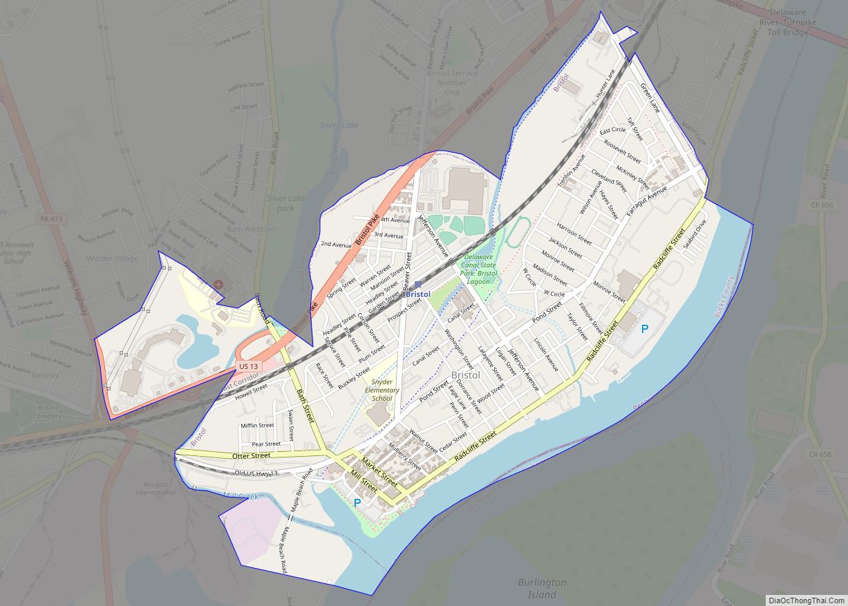
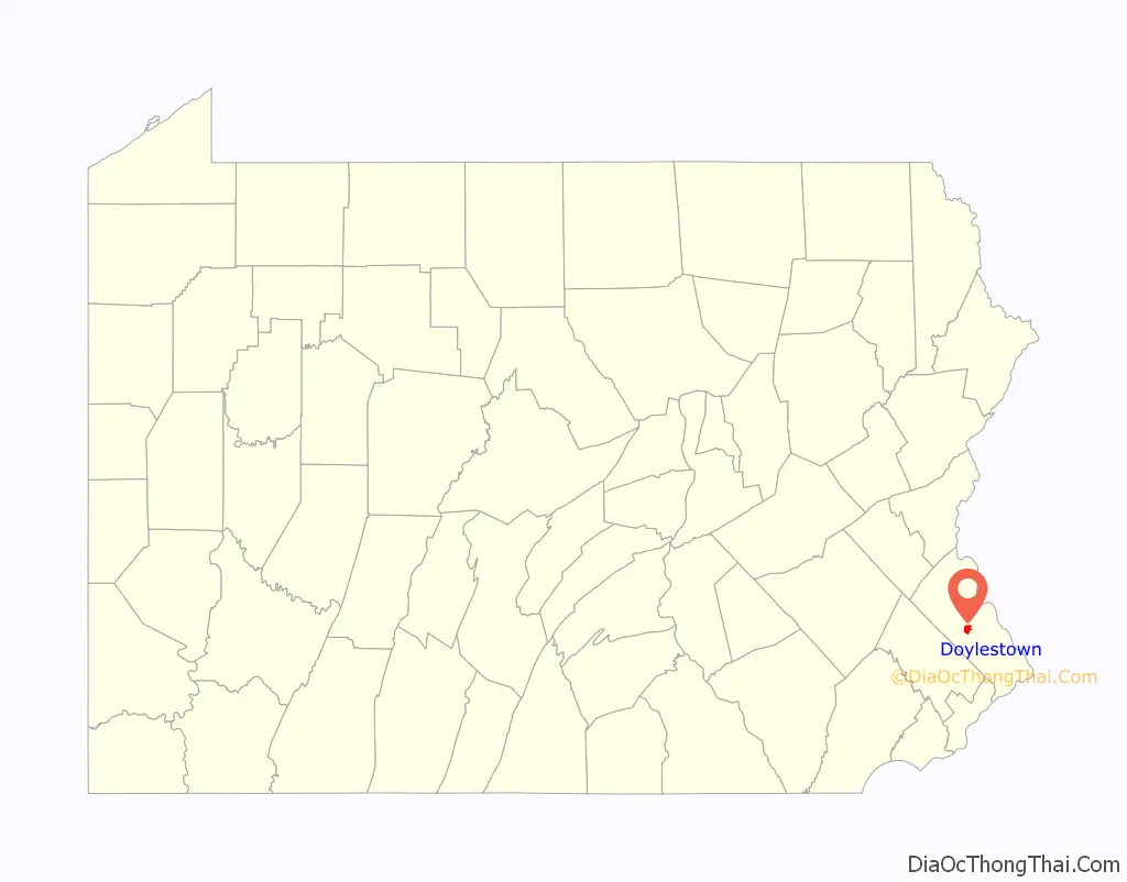
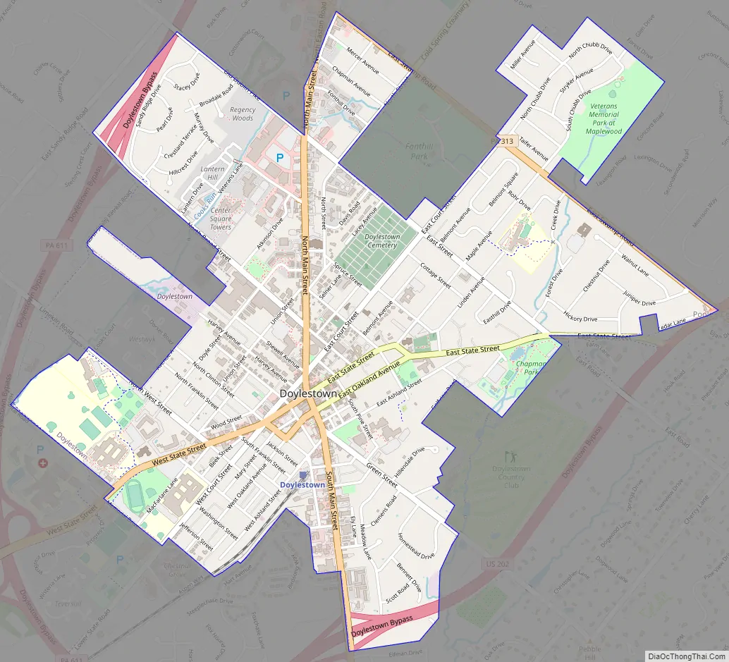
Doylestown Road Map
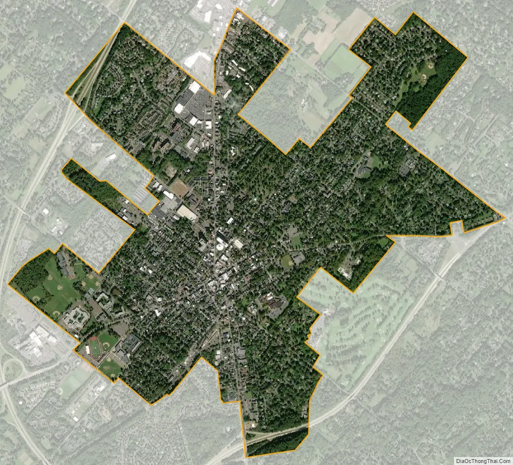
Doylestown city Satellite Map
Geography
According to the U.S. Census Bureau, the borough has a total area of 2.2 square miles (5.7 km), all land. Doylestown Borough is bordered by Doylestown Township, except to the northeast where it borders Buckingham Township.
Natural features of Doylestown Borough include Cooks Run and Neshaminy Creek.
Climate
According to the Köppen climate classification system, Doylestown has a hot-summer, humid continental climate (Dfa). Dfa climates are characterized by at least one month having an average mean temperature ≤ 32.0 °F (0.0 °C), at least four months with an average mean temperature ≥ 50.0 °F (10.0 °C), at least one month with an average mean temperature ≥ 71.6 °F (22.0 °C) and no significant precipitation difference between seasons. Although most summer days are slightly humid in Doylestown, episodes of heat and high humidity can occur with heat index values > 105 °F (41 °C). Since 1981, the highest air temperature was 102.8 °F (39.3 °C) on July 22, 2011, and the highest daily average mean dew point was 75.3 °F (24.1 °C) on December 8, 2016. The average wettest month is July which corresponds with the annual peak in thunderstorm activity. Since 1981, the wettest calendar day was 7.11 inches (181 mm) on September 16, 1999. During the winter months, the average annual extreme minimum air temperature is −1.3 °F (−18.5 °C). Since 1981, the coldest air temperature was −12.1 °F (−24.5 °C) on January 22, 1984. Episodes of extreme cold and wind can occur with wind chill values < −12 °F (−24 °C). The average annual snowfall (Nov-Apr) is between 30 inches (76 cm) and 36 inches (91 cm). Ice storms and large snowstorms depositing ≥ 12 inches (30 cm) of snow occur once every few years, particularly during nor’easters from December through February.
See also
Map of Pennsylvania State and its subdivision:- Adams
- Allegheny
- Armstrong
- Beaver
- Bedford
- Berks
- Blair
- Bradford
- Bucks
- Butler
- Cambria
- Cameron
- Carbon
- Centre
- Chester
- Clarion
- Clearfield
- Clinton
- Columbia
- Crawford
- Cumberland
- Dauphin
- Delaware
- Elk
- Erie
- Fayette
- Forest
- Franklin
- Fulton
- Greene
- Huntingdon
- Indiana
- Jefferson
- Juniata
- Lackawanna
- Lancaster
- Lawrence
- Lebanon
- Lehigh
- Luzerne
- Lycoming
- Mc Kean
- Mercer
- Mifflin
- Monroe
- Montgomery
- Montour
- Northampton
- Northumberland
- Perry
- Philadelphia
- Pike
- Potter
- Schuylkill
- Snyder
- Somerset
- Sullivan
- Susquehanna
- Tioga
- Union
- Venango
- Warren
- Washington
- Wayne
- Westmoreland
- Wyoming
- York
- Alabama
- Alaska
- Arizona
- Arkansas
- California
- Colorado
- Connecticut
- Delaware
- District of Columbia
- Florida
- Georgia
- Hawaii
- Idaho
- Illinois
- Indiana
- Iowa
- Kansas
- Kentucky
- Louisiana
- Maine
- Maryland
- Massachusetts
- Michigan
- Minnesota
- Mississippi
- Missouri
- Montana
- Nebraska
- Nevada
- New Hampshire
- New Jersey
- New Mexico
- New York
- North Carolina
- North Dakota
- Ohio
- Oklahoma
- Oregon
- Pennsylvania
- Rhode Island
- South Carolina
- South Dakota
- Tennessee
- Texas
- Utah
- Vermont
- Virginia
- Washington
- West Virginia
- Wisconsin
- Wyoming