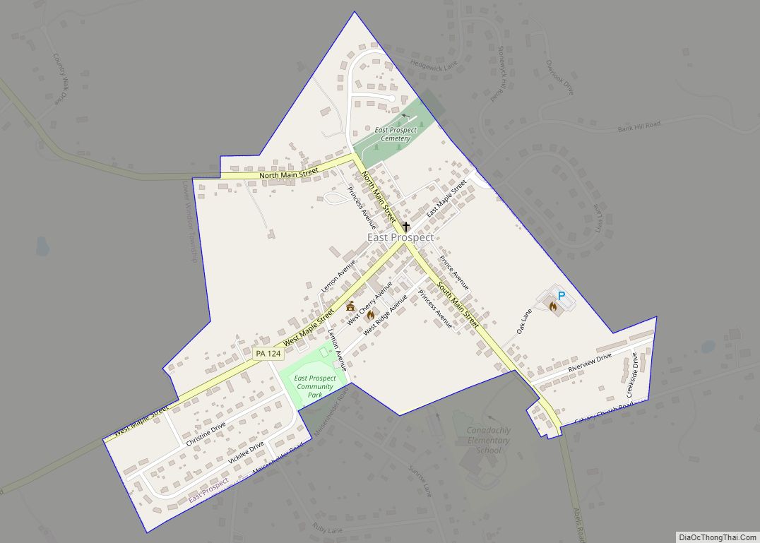
East Prospect is a borough in York County, Pennsylvania, United States. The population was 932 at the 2020 census.
| Name: | East Prospect borough |
|---|---|
| LSAD Code: | 21 |
| LSAD Description: | borough (suffix) |
| State: | Pennsylvania |
| County: | York County |
| Incorporated: | 1874 |
| Elevation: | 587 ft (179 m) |
| Total Area: | 0.32 sq mi (0.83 km²) |
| Land Area: | 0.32 sq mi (0.83 km²) |
| Water Area: | 0.00 sq mi (0.00 km²) |
| Total Population: | 934 |
| Population Density: | 2,918.75/sq mi (1,128.27/km²) |
| Area code: | 717 |
| FIPS code: | 4221728 |
| Website: | epboro.com |
Online Interactive Map
Click on ![]() to view map in "full screen" mode.
to view map in "full screen" mode.
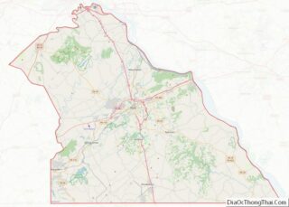
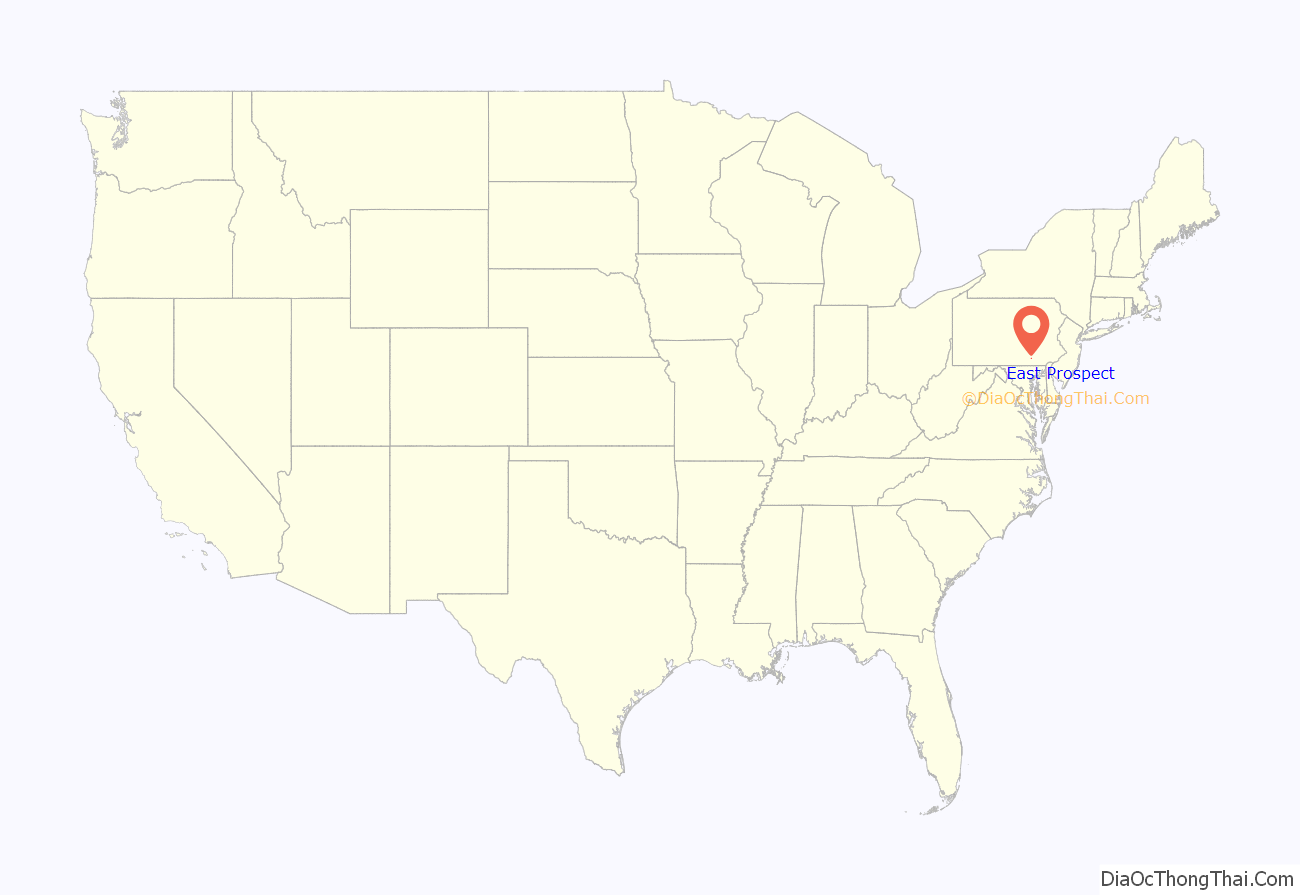
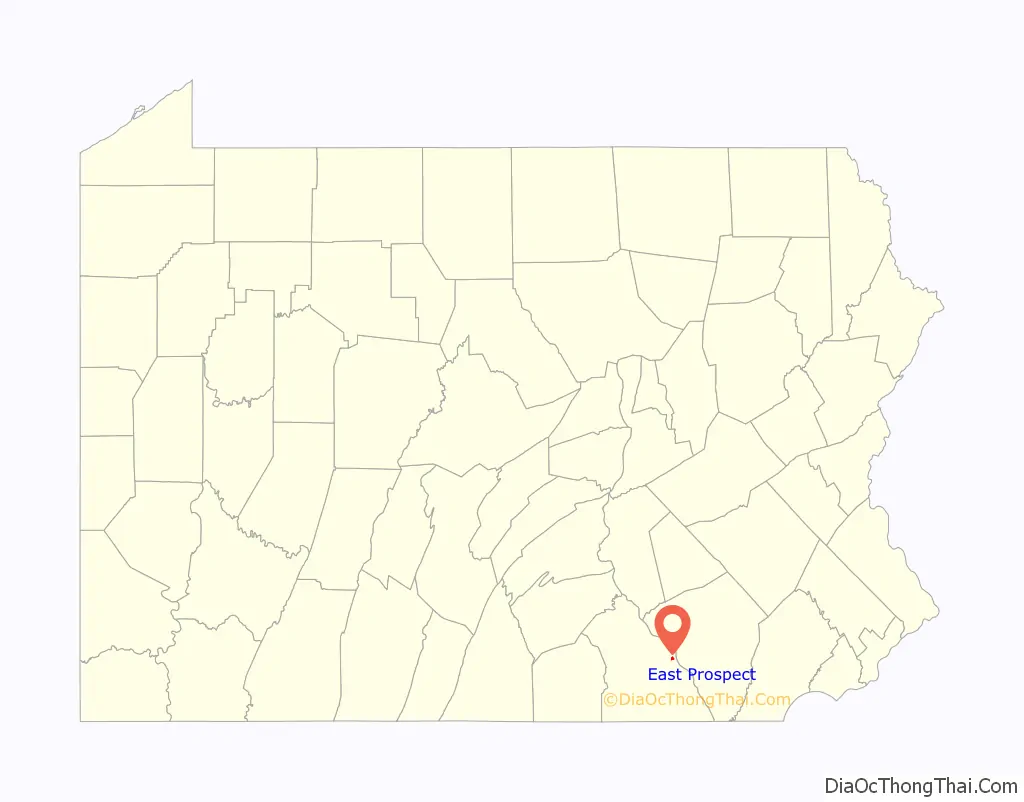
East Prospect location map. Where is East Prospect borough?
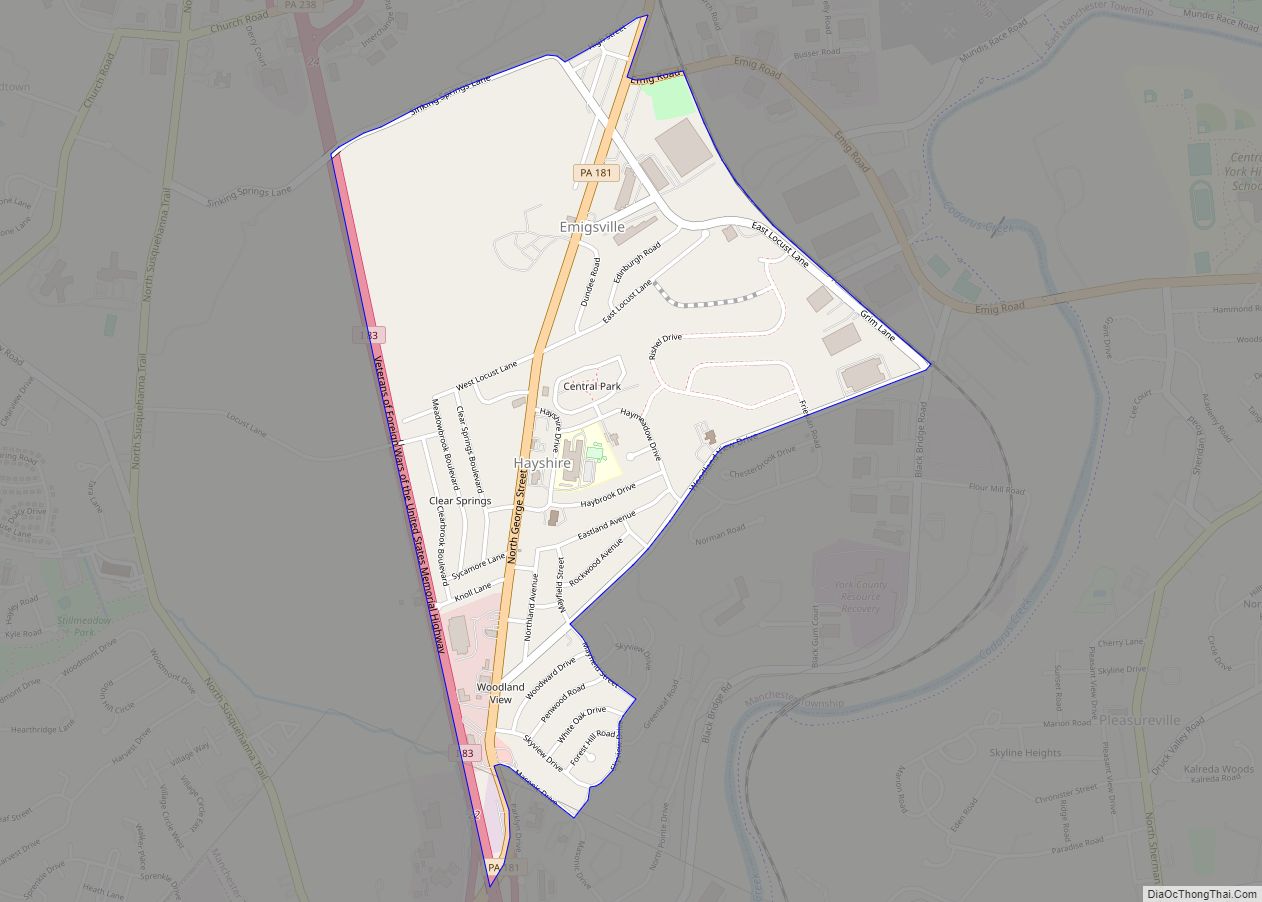
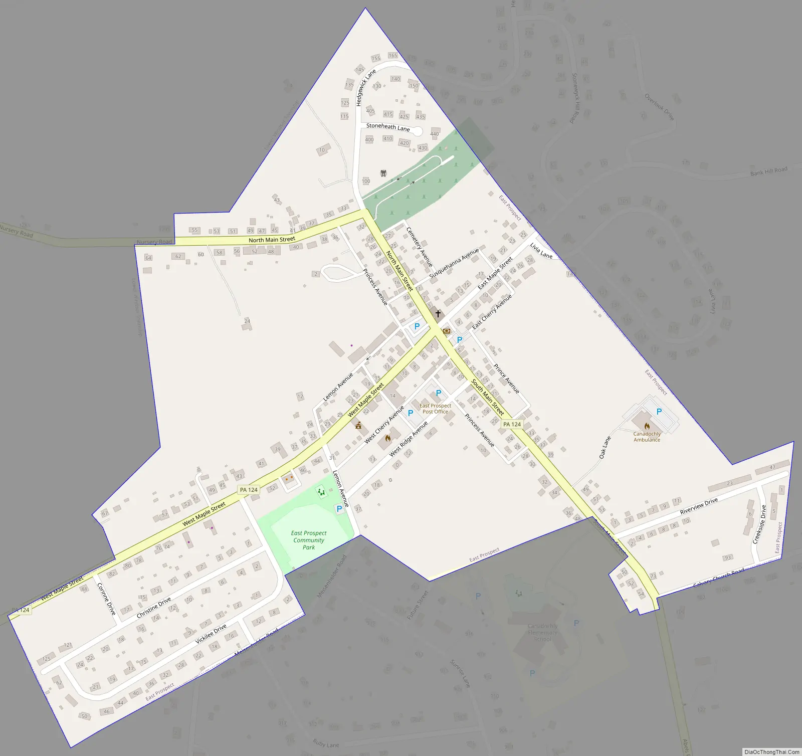
East Prospect Road Map
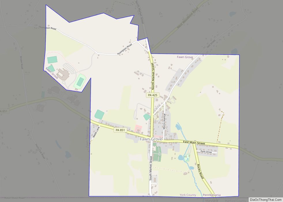
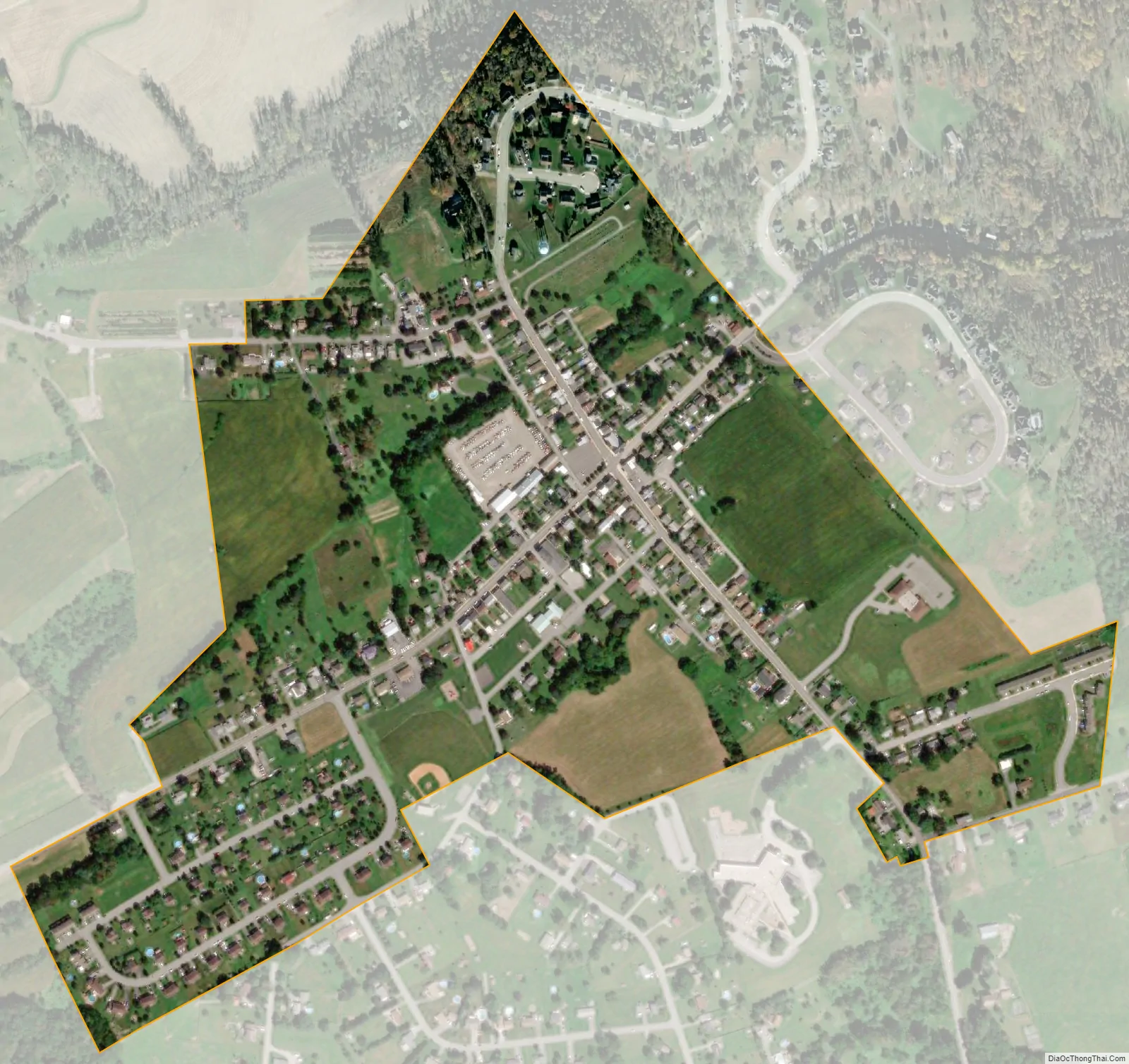
East Prospect city Satellite Map
Geography
East Prospect is located at 39°58′17″N 76°31′14″W / 39.97139°N 76.52056°W / 39.97139; -76.52056 (39.971506, -76.520601) and is situated on the west bank of the Susquehanna River opposite Washington Boro. The head end of the Amerindian-named Conejohela Valley (extends to the Chesapeake) and commercially developed dam-created Lake Clarke region are centered mid-river between the towns, and on a line, more or less from the two county capitals, York and Lancaster, which are also approximately equidistant. The borough is surrounded by Lower Windsor Township and is just west of the Susquehanna River.
According to the United States Census Bureau, the borough has a total area of 0.3 square miles (0.78 km), all land.
See also
Map of Pennsylvania State and its subdivision:- Adams
- Allegheny
- Armstrong
- Beaver
- Bedford
- Berks
- Blair
- Bradford
- Bucks
- Butler
- Cambria
- Cameron
- Carbon
- Centre
- Chester
- Clarion
- Clearfield
- Clinton
- Columbia
- Crawford
- Cumberland
- Dauphin
- Delaware
- Elk
- Erie
- Fayette
- Forest
- Franklin
- Fulton
- Greene
- Huntingdon
- Indiana
- Jefferson
- Juniata
- Lackawanna
- Lancaster
- Lawrence
- Lebanon
- Lehigh
- Luzerne
- Lycoming
- Mc Kean
- Mercer
- Mifflin
- Monroe
- Montgomery
- Montour
- Northampton
- Northumberland
- Perry
- Philadelphia
- Pike
- Potter
- Schuylkill
- Snyder
- Somerset
- Sullivan
- Susquehanna
- Tioga
- Union
- Venango
- Warren
- Washington
- Wayne
- Westmoreland
- Wyoming
- York
- Alabama
- Alaska
- Arizona
- Arkansas
- California
- Colorado
- Connecticut
- Delaware
- District of Columbia
- Florida
- Georgia
- Hawaii
- Idaho
- Illinois
- Indiana
- Iowa
- Kansas
- Kentucky
- Louisiana
- Maine
- Maryland
- Massachusetts
- Michigan
- Minnesota
- Mississippi
- Missouri
- Montana
- Nebraska
- Nevada
- New Hampshire
- New Jersey
- New Mexico
- New York
- North Carolina
- North Dakota
- Ohio
- Oklahoma
- Oregon
- Pennsylvania
- Rhode Island
- South Carolina
- South Dakota
- Tennessee
- Texas
- Utah
- Vermont
- Virginia
- Washington
- West Virginia
- Wisconsin
- Wyoming