Ehrenfeld is a borough in Cambria County, Pennsylvania, United States. It is part of the Johnstown, Pennsylvania Metropolitan Statistical Area. The population was 228 at the 2010 census.
| Name: | Ehrenfeld borough |
|---|---|
| LSAD Code: | 21 |
| LSAD Description: | borough (suffix) |
| State: | Pennsylvania |
| County: | Cambria County |
| Incorporated: | 1956 |
| Elevation: | 1,683 ft (513 m) |
| Total Area: | 0.45 sq mi (1.15 km²) |
| Land Area: | 0.43 sq mi (1.12 km²) |
| Water Area: | 0.01 sq mi (0.04 km²) |
| Total Population: | 203 |
| Population Density: | 471.00/sq mi (181.95/km²) |
| ZIP code: | 15956 |
| Area code: | 814 |
| FIPS code: | 4222712 |
| GNISfeature ID: | 1215019 |
Online Interactive Map
Click on ![]() to view map in "full screen" mode.
to view map in "full screen" mode.
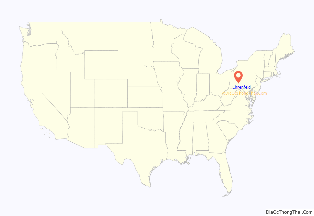
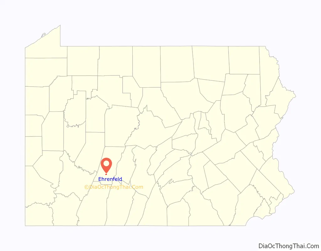
Ehrenfeld location map. Where is Ehrenfeld borough?
History
In 1901, General Electric Company built the first alternating current power plant at Ehrenfeld. The plant, designed to eliminate the difficulties in long-distance direct current transmission, was built for the Webster Coal and Coke Company.
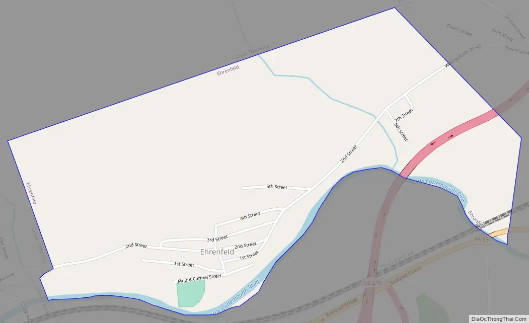
Ehrenfeld Road Map
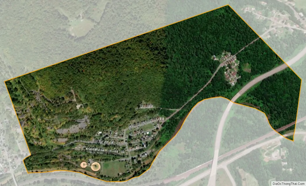
Ehrenfeld city Satellite Map
Geography
Ehrenfeld is located in south-central Cambria County at 40°22′20″N 78°46′35″W / 40.37222°N 78.77639°W / 40.37222; -78.77639 (40.372273, -78.776394), in the valley of the Little Conemaugh River. It is bordered to the east by the borough of Summerhill and to the southwest by the borough of South Fork. U.S. Route 219 passes through the eastern part of Ehrenfeld, with access from one exit (Pennsylvania Route 53). US 219 leads north 10 miles (16 km) to Ebensburg, the county seat, and southwest 33 miles (53 km) to Somerset. Johnstown, the largest city in Cambria County, is 13 miles (21 km) to the southwest via US 219 and Pennsylvania Route 56.
According to the United States Census Bureau, the borough of Ehrenfeld has a total area of 0.44 square miles (1.15 km), of which 0.43 square miles (1.12 km) is land and 0.01 square miles (0.03 km), or 2.98%, is water.
See also
Map of Pennsylvania State and its subdivision:- Adams
- Allegheny
- Armstrong
- Beaver
- Bedford
- Berks
- Blair
- Bradford
- Bucks
- Butler
- Cambria
- Cameron
- Carbon
- Centre
- Chester
- Clarion
- Clearfield
- Clinton
- Columbia
- Crawford
- Cumberland
- Dauphin
- Delaware
- Elk
- Erie
- Fayette
- Forest
- Franklin
- Fulton
- Greene
- Huntingdon
- Indiana
- Jefferson
- Juniata
- Lackawanna
- Lancaster
- Lawrence
- Lebanon
- Lehigh
- Luzerne
- Lycoming
- Mc Kean
- Mercer
- Mifflin
- Monroe
- Montgomery
- Montour
- Northampton
- Northumberland
- Perry
- Philadelphia
- Pike
- Potter
- Schuylkill
- Snyder
- Somerset
- Sullivan
- Susquehanna
- Tioga
- Union
- Venango
- Warren
- Washington
- Wayne
- Westmoreland
- Wyoming
- York
- Alabama
- Alaska
- Arizona
- Arkansas
- California
- Colorado
- Connecticut
- Delaware
- District of Columbia
- Florida
- Georgia
- Hawaii
- Idaho
- Illinois
- Indiana
- Iowa
- Kansas
- Kentucky
- Louisiana
- Maine
- Maryland
- Massachusetts
- Michigan
- Minnesota
- Mississippi
- Missouri
- Montana
- Nebraska
- Nevada
- New Hampshire
- New Jersey
- New Mexico
- New York
- North Carolina
- North Dakota
- Ohio
- Oklahoma
- Oregon
- Pennsylvania
- Rhode Island
- South Carolina
- South Dakota
- Tennessee
- Texas
- Utah
- Vermont
- Virginia
- Washington
- West Virginia
- Wisconsin
- Wyoming


