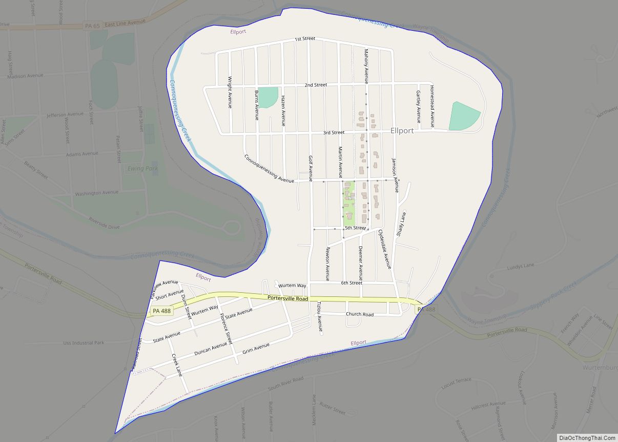
Ellport is a borough in Lawrence County, Pennsylvania, United States. The population was 1,081 at the 2020 census. It is part of the New Castle micropolitan area. The name is a portmanteau of Ellwood City and Portersville, the boroughs that lie to its west and east.
| Name: | Ellport borough |
|---|---|
| LSAD Code: | 21 |
| LSAD Description: | borough (suffix) |
| State: | Pennsylvania |
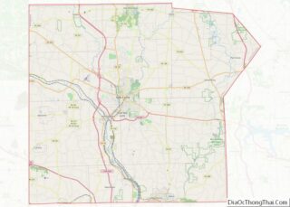
| County: | Lawrence County |
| Total Area: | 0.46 sq mi (1.20 km²) |
| Land Area: | 0.43 sq mi (1.11 km²) |
| Water Area: | 0.03 sq mi (0.09 km²) |
| Total Population: | 1,082 |
| Population Density: | 2,522.14/sq mi (974.28/km²) |
| Area code: | 724 |
| FIPS code: | 4223280 |
| Website: | ellportboro.com |
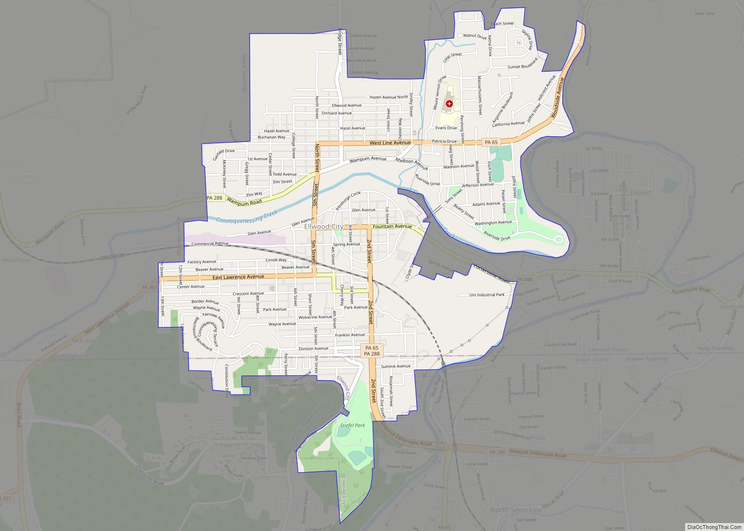
Online Interactive Map
Click on ![]() to view map in "full screen" mode.
to view map in "full screen" mode.
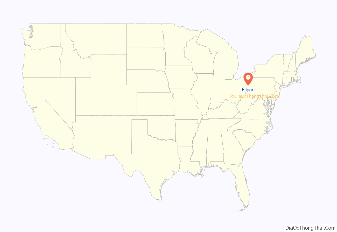
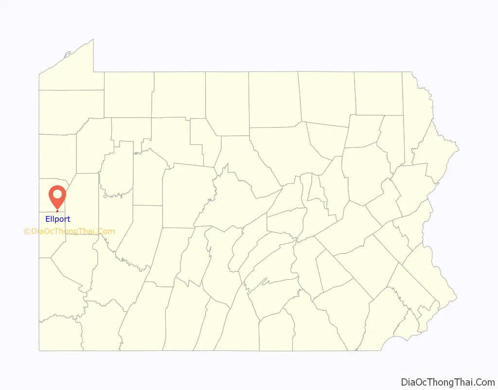
Ellport location map. Where is Ellport borough?
History
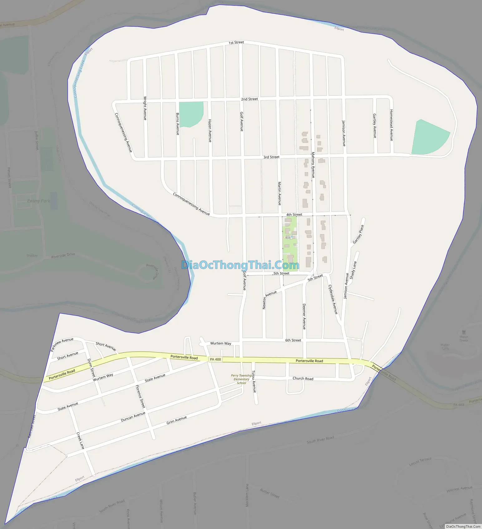
Through 1919, a little more than 1/3 of Ellport existed as the Ellwood City Country Club. The portion that was the Country Club is to the west side of Golf Avenue. The clubhouse was located on the property near 111 Fourth Street.
In 1920, a realty company from Pittsburgh bought the golf course and sold lots for about $600 each. In addition, the realty company began to purchase farms to the east of Golf Avenue from families such as the Deemers, the Mahonys and the Gartleys.
At this time, this area was still part of Wayne Township. In 1929, residents petitioned the courts for Ellport to become its own borough. This petition was signed by 183 residents, including 10 people who could not write their names and signed with an “X”.
The borough was founded by a court order on February 15, 1929, signed by President Judge Daniel M. Foley of Lawrence County.
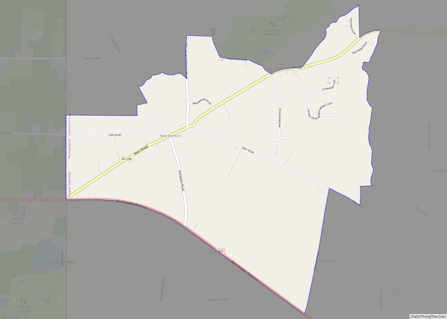
Ellport Road Map
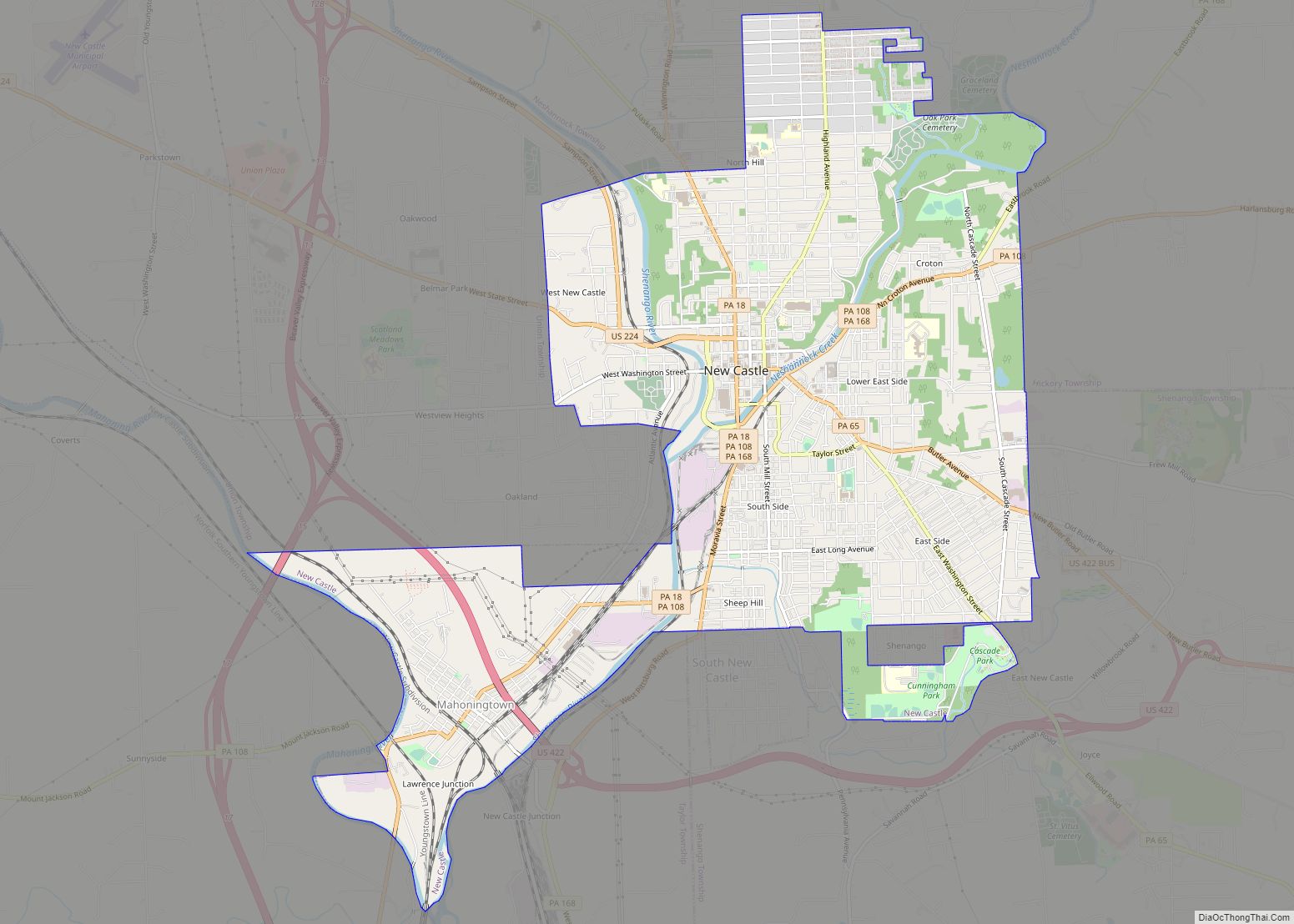
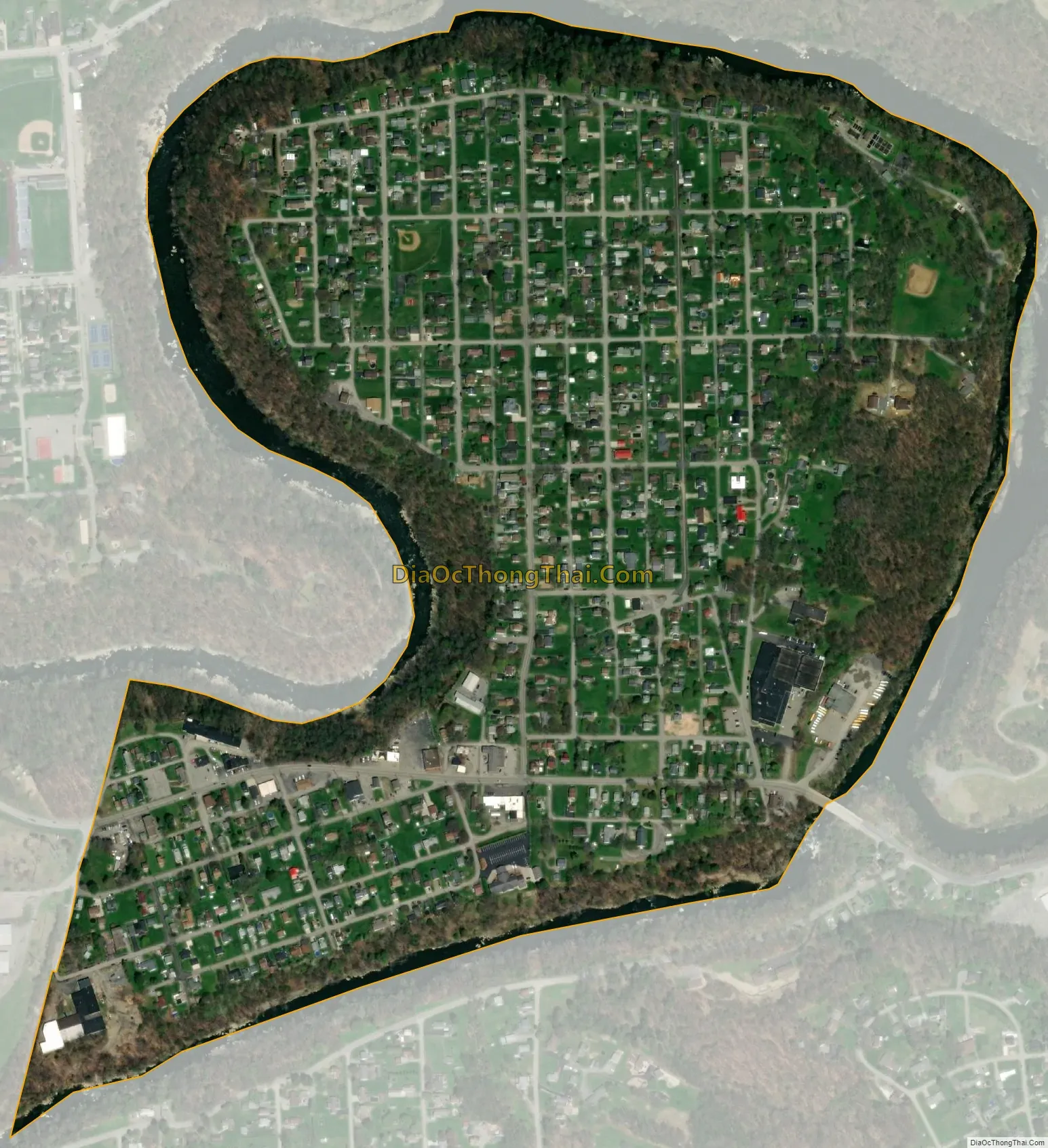
Ellport city Satellite Map
Geography
Ellport is located at 40°51′37″N 80°15′43″W / 40.86028°N 80.26194°W / 40.86028; -80.26194 (40.860396, -80.262051).
According to the United States Census Bureau, the borough has a total area of 0.5 square miles (1.3 km), of which 0.4 square miles (1.0 km) is land and 0.04 square miles (0.10 km), or 4.35%, is water.
See also
Map of Pennsylvania State and its subdivision:- Adams
- Allegheny
- Armstrong
- Beaver
- Bedford
- Berks
- Blair
- Bradford
- Bucks
- Butler
- Cambria
- Cameron
- Carbon
- Centre
- Chester
- Clarion
- Clearfield
- Clinton
- Columbia
- Crawford
- Cumberland
- Dauphin
- Delaware
- Elk
- Erie
- Fayette
- Forest
- Franklin
- Fulton
- Greene
- Huntingdon
- Indiana
- Jefferson
- Juniata
- Lackawanna
- Lancaster
- Lawrence
- Lebanon
- Lehigh
- Luzerne
- Lycoming
- Mc Kean
- Mercer
- Mifflin
- Monroe
- Montgomery
- Montour
- Northampton
- Northumberland
- Perry
- Philadelphia
- Pike
- Potter
- Schuylkill
- Snyder
- Somerset
- Sullivan
- Susquehanna
- Tioga
- Union
- Venango
- Warren
- Washington
- Wayne
- Westmoreland
- Wyoming
- York
- Alabama
- Alaska
- Arizona
- Arkansas
- California
- Colorado
- Connecticut
- Delaware
- District of Columbia
- Florida
- Georgia
- Hawaii
- Idaho
- Illinois
- Indiana
- Iowa
- Kansas
- Kentucky
- Louisiana
- Maine
- Maryland
- Massachusetts
- Michigan
- Minnesota
- Mississippi
- Missouri
- Montana
- Nebraska
- Nevada
- New Hampshire
- New Jersey
- New Mexico
- New York
- North Carolina
- North Dakota
- Ohio
- Oklahoma
- Oregon
- Pennsylvania
- Rhode Island
- South Carolina
- South Dakota
- Tennessee
- Texas
- Utah
- Vermont
- Virginia
- Washington
- West Virginia
- Wisconsin
- Wyoming