Fairless Hills is a census-designated place (CDP) in Bucks County, Pennsylvania, United States. The CDP is located within c. The population was 9,046 at the 2020 census. That is up from 8,466 at the 2010 census.
| Name: | Fairless Hills CDP |
|---|---|
| LSAD Code: | 57 |
| LSAD Description: | CDP (suffix) |
| State: | Pennsylvania |
| County: | Bucks County |
| Elevation: | 108 ft (33 m) |
| Total Area: | 1.96 sq mi (5.07 km²) |
| Land Area: | 1.94 sq mi (5.03 km²) |
| Water Area: | 0.01 sq mi (0.03 km²) |
| Total Population: | 9,041 |
| Population Density: | 4,650.72/sq mi (1,795.98/km²) |
| ZIP code: | 19030 |
| FIPS code: | 4224712 |
Online Interactive Map
Click on ![]() to view map in "full screen" mode.
to view map in "full screen" mode.
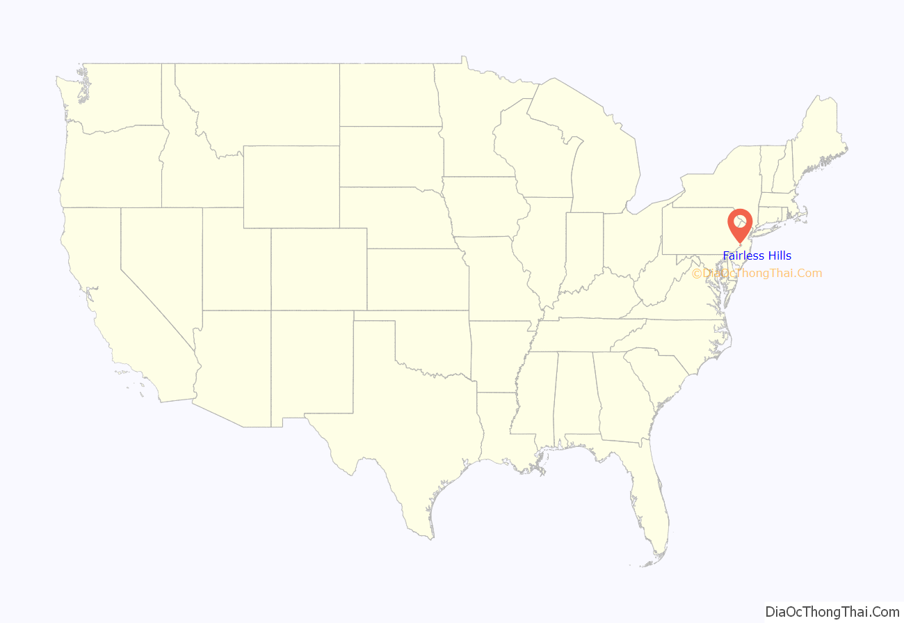
Fairless Hills location map. Where is Fairless Hills CDP?
History
Fairless Hills as it is known today began in 1951, when developer Danherst Corporation began erecting prefabricated homes built by Gunnison Magichomes, Inc. Gunnison was a wholly owned subsidiary of U.S. Steel. The development was financed by U.S. Steel with a loan of $50 million. It was named in honor of Benjamin Fairless, then president of U.S. Steel, which operated the “Fairless Works” plant which employed most of Fairless Hills’ homeowners at the time.
The Sotcher Farmhouse was listed on the National Register of Historic Places in 1977.
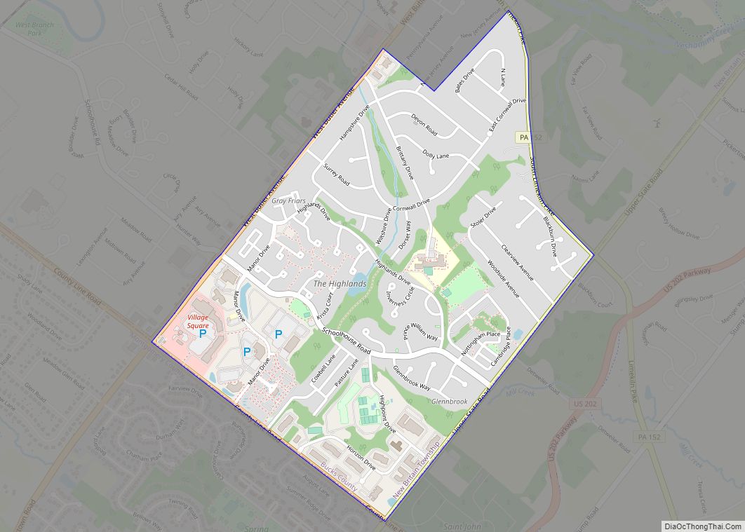
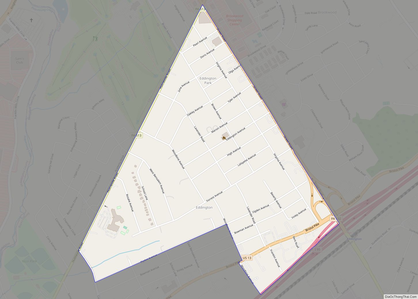
Fairless Hills Road Map
Fairless Hills city Satellite Map
Geography
Fairless Hills is located at 40°10′44″N 74°51′11″W / 40.17889°N 74.85306°W / 40.17889; -74.85306 (40.178909, -74.853044).
According to the United States Census Bureau, the CDP has a total area of 1.9 square miles (4.9 km), of which 0.52% is water. Its climate is humid subtropical (Cfa). Average monthly temperatures range from 32.3 °F in January to 76.8 °F in July. The local hardiness zone is 7a.
Some later developers of Fairless Hills designated several sections, or neighborhoods, such as Heddington, Drexelwood, and Fairbridge North.
See also
Map of Pennsylvania State and its subdivision:- Adams
- Allegheny
- Armstrong
- Beaver
- Bedford
- Berks
- Blair
- Bradford
- Bucks
- Butler
- Cambria
- Cameron
- Carbon
- Centre
- Chester
- Clarion
- Clearfield
- Clinton
- Columbia
- Crawford
- Cumberland
- Dauphin
- Delaware
- Elk
- Erie
- Fayette
- Forest
- Franklin
- Fulton
- Greene
- Huntingdon
- Indiana
- Jefferson
- Juniata
- Lackawanna
- Lancaster
- Lawrence
- Lebanon
- Lehigh
- Luzerne
- Lycoming
- Mc Kean
- Mercer
- Mifflin
- Monroe
- Montgomery
- Montour
- Northampton
- Northumberland
- Perry
- Philadelphia
- Pike
- Potter
- Schuylkill
- Snyder
- Somerset
- Sullivan
- Susquehanna
- Tioga
- Union
- Venango
- Warren
- Washington
- Wayne
- Westmoreland
- Wyoming
- York
- Alabama
- Alaska
- Arizona
- Arkansas
- California
- Colorado
- Connecticut
- Delaware
- District of Columbia
- Florida
- Georgia
- Hawaii
- Idaho
- Illinois
- Indiana
- Iowa
- Kansas
- Kentucky
- Louisiana
- Maine
- Maryland
- Massachusetts
- Michigan
- Minnesota
- Mississippi
- Missouri
- Montana
- Nebraska
- Nevada
- New Hampshire
- New Jersey
- New Mexico
- New York
- North Carolina
- North Dakota
- Ohio
- Oklahoma
- Oregon
- Pennsylvania
- Rhode Island
- South Carolina
- South Dakota
- Tennessee
- Texas
- Utah
- Vermont
- Virginia
- Washington
- West Virginia
- Wisconsin
- Wyoming
