Farrell is a city in western Mercer County, Pennsylvania, along the Shenango River. The population was 4,258 at the 2020 census. It is part of the Youngstown–Warren metropolitan area.
| Name: | Farrell city |
|---|---|
| LSAD Code: | 25 |
| LSAD Description: | city (suffix) |
| State: | Pennsylvania |
| County: | Mercer County |
| Total Area: | 2.27 sq mi (5.89 km²) |
| Land Area: | 2.26 sq mi (5.86 km²) |
| Water Area: | 0.01 sq mi (0.02 km²) |
| Total Population: | 4,258 |
| Population Density: | 1,880.74/sq mi (726.12/km²) |
| Area code: | 724 |
| FIPS code: | 4225360 |
| Website: | www.cityoffarrell.com |
Online Interactive Map
Click on ![]() to view map in "full screen" mode.
to view map in "full screen" mode.
Farrell location map. Where is Farrell city?
History
Once dubbed “The Magic City,” Farrell sprang up practically overnight when a steel mill was constructed in 1901 on a plain bordering the Shenango River, near Sharon, in what was then part of Hickory Township (now Hermitage).
The community name was at the beginning South Sharon. In 1912, the population reached 10,000. At that time, the residents of the new city elected to take the name of Farrell, after industrialist James A. Farrell.
The community was incorporated as the Borough of South Sharon in 1916; its population peaked at over 15,000 in 1920 and its status was elevated to a third-class city in 1932. In 1939, artist Virginia Wood Riggs was commissioned to paint the mural Myths of Vulcan and Juno in the towns post office. The mural was painted over in 1966.
The mill, which eventually became known as the Roemer Works of Sharon Steel Corporation, would serve as the community’s lifeblood until 1992, when it was liquidated after filing bankruptcy. Many of the assets were sold at auction to Britain-based Caparo Corporation and later to Swiss steelmaker Duferco, which operates the plant today. Farrell was designated a financially distressed municipality in 1987 by the state of Pennsylvania.
Despite years of population and industrial decline, Farrell has made progress in rebuilding itself due to new industrial investments on tax abated land and several new housing starts.
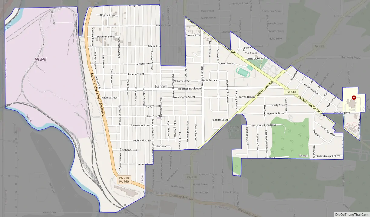
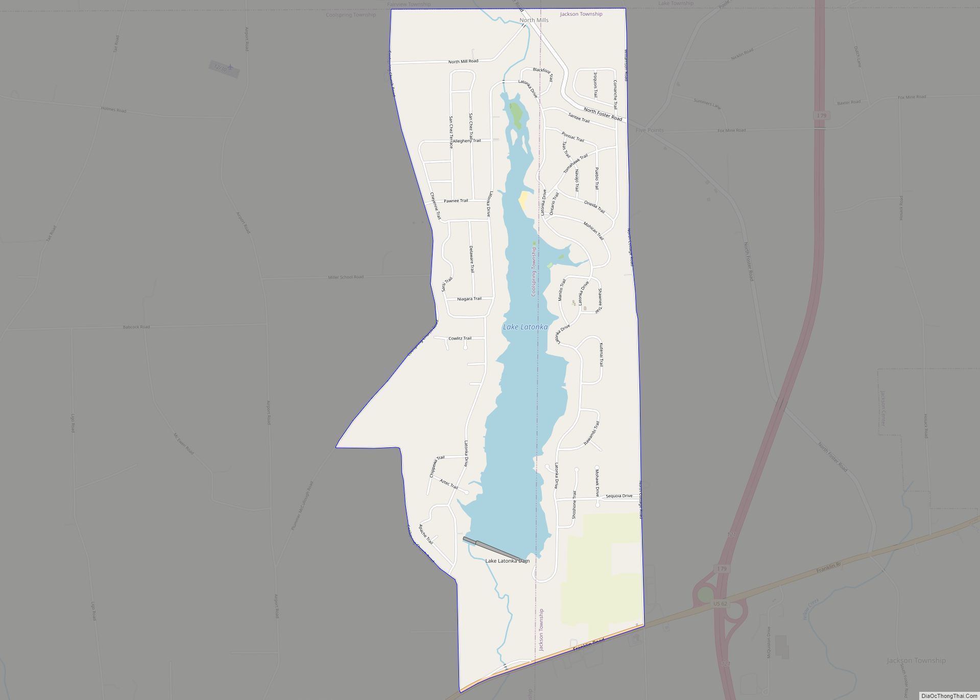
Farrell Road Map
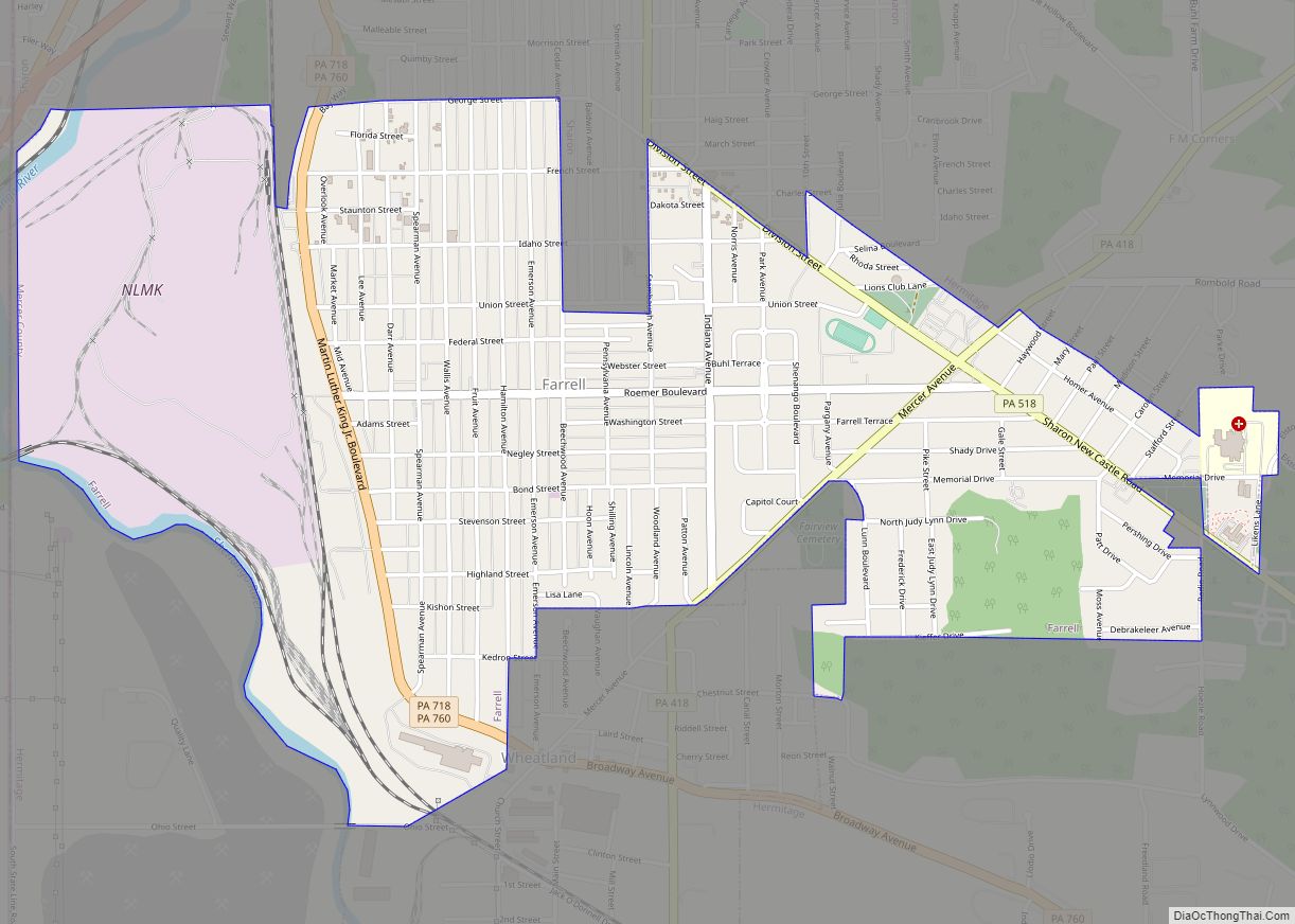
Farrell city Satellite Map
See also
Map of Pennsylvania State and its subdivision:- Adams
- Allegheny
- Armstrong
- Beaver
- Bedford
- Berks
- Blair
- Bradford
- Bucks
- Butler
- Cambria
- Cameron
- Carbon
- Centre
- Chester
- Clarion
- Clearfield
- Clinton
- Columbia
- Crawford
- Cumberland
- Dauphin
- Delaware
- Elk
- Erie
- Fayette
- Forest
- Franklin
- Fulton
- Greene
- Huntingdon
- Indiana
- Jefferson
- Juniata
- Lackawanna
- Lancaster
- Lawrence
- Lebanon
- Lehigh
- Luzerne
- Lycoming
- Mc Kean
- Mercer
- Mifflin
- Monroe
- Montgomery
- Montour
- Northampton
- Northumberland
- Perry
- Philadelphia
- Pike
- Potter
- Schuylkill
- Snyder
- Somerset
- Sullivan
- Susquehanna
- Tioga
- Union
- Venango
- Warren
- Washington
- Wayne
- Westmoreland
- Wyoming
- York
- Alabama
- Alaska
- Arizona
- Arkansas
- California
- Colorado
- Connecticut
- Delaware
- District of Columbia
- Florida
- Georgia
- Hawaii
- Idaho
- Illinois
- Indiana
- Iowa
- Kansas
- Kentucky
- Louisiana
- Maine
- Maryland
- Massachusetts
- Michigan
- Minnesota
- Mississippi
- Missouri
- Montana
- Nebraska
- Nevada
- New Hampshire
- New Jersey
- New Mexico
- New York
- North Carolina
- North Dakota
- Ohio
- Oklahoma
- Oregon
- Pennsylvania
- Rhode Island
- South Carolina
- South Dakota
- Tennessee
- Texas
- Utah
- Vermont
- Virginia
- Washington
- West Virginia
- Wisconsin
- Wyoming


