Foxburg is a borough in Clarion County, Pennsylvania, United States. It is located along the east bank of the Allegheny River, about 2 miles (3 km) north of the mouth of the Clarion River. As of the 2020 census it had a population of 181.
| Name: | Foxburg borough |
|---|---|
| LSAD Code: | 21 |
| LSAD Description: | borough (suffix) |
| State: | Pennsylvania |
| County: | Clarion County |
| Incorporated: | 1930 |
| Elevation: | 920 ft (280 m) |
| Total Area: | 0.50 sq mi (1.30 km²) |
| Land Area: | 0.37 sq mi (0.95 km²) |
| Water Area: | 0.13 sq mi (0.34 km²) |
| Total Population: | 181 |
| Population Density: | 491.85/sq mi (190.08/km²) |
| ZIP code: | 16036 |
| FIPS code: | 4227112 |
| Website: | www.foxburgboro.com |
Online Interactive Map
Click on ![]() to view map in "full screen" mode.
to view map in "full screen" mode.
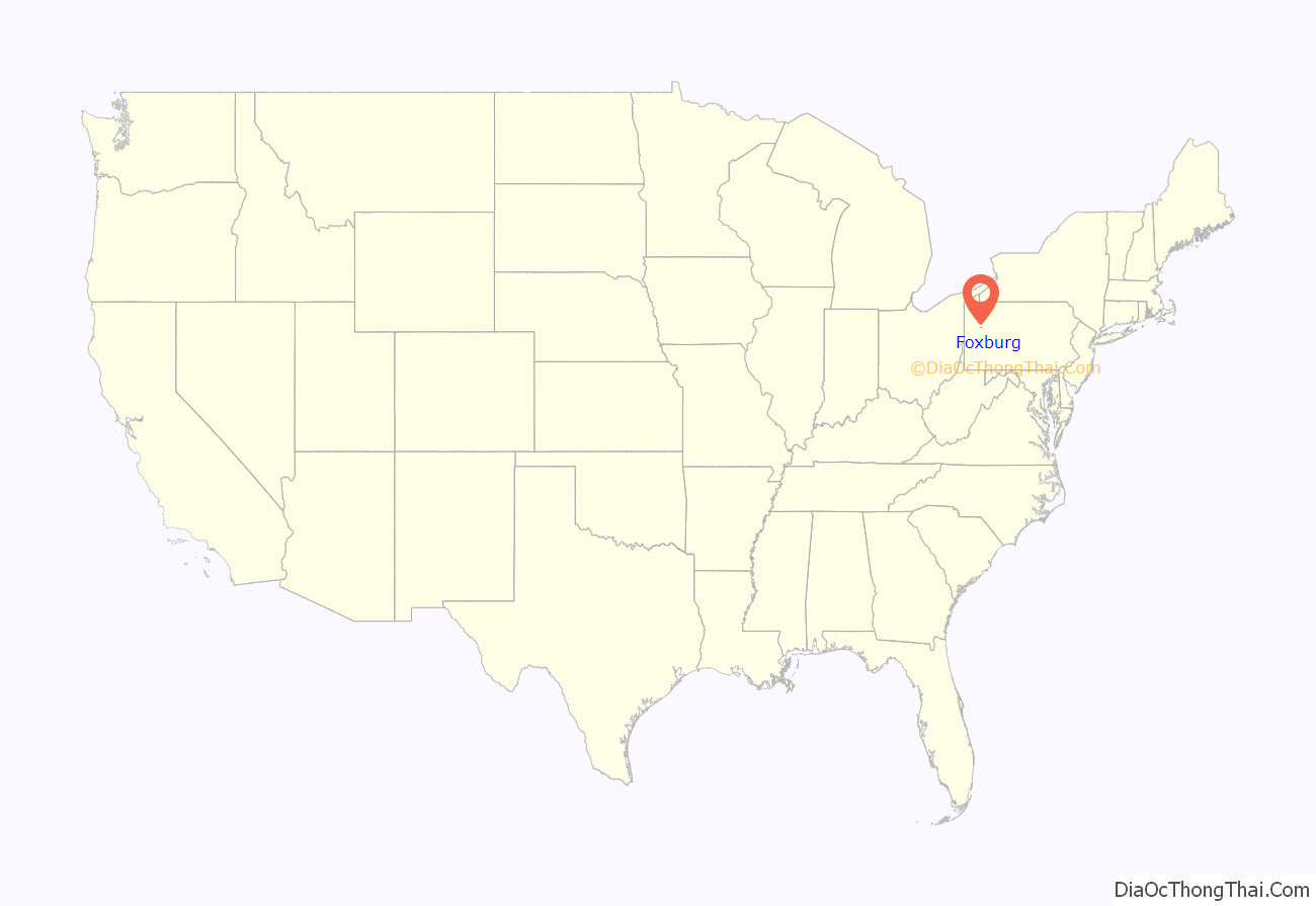
Foxburg location map. Where is Foxburg borough?
History
The town takes its name from the Fox family of Philadelphia, former owners of the land upon which the town was built. Samuel Mickle Fox (1763–1808), along with his brother George and brothers-in-law Joseph Parker Norris and George Roberts, purchased a number of tracts of land in western Pennsylvania from the Commonwealth during the 1790s. Six of these tracts, numbered #5725–5730, comprising 6,600 acres (2,700 ha), were contiguous and located along the Allegheny north of its confluence with Toby’s Creek (today’s Clarion River). The present town of Foxburg is located on what was designated tract #5729.
Samuel’s son Joseph purchased these tracts from his father’s estate in 1816 and established a residence here ten years later. This was south of the town near the mouth of the Clarion. It became known to generations as “the Fox Mansion” or simply “the Mansion”. Succeeding generations would make it a seasonal residence for the next 140 years.
The town of Foxburg was founded amidst the oil developments in western Pennsylvania in 1870. At its height during the early 1870s it had a population of over 1,000. It remained a village until its incorporation as a borough on February 6, 1930. The borough was once served by two railroads. One was the Allegheny Division of the Pennsylvania Railroad, and the other was the Baltimore and Ohio Railroad. The B&O actually ran over the old Foxburg Bridge from 1921 to 1964. Today, both railroads are gone, as is the bridge, which was demolished on July 24, 2008.
The town is home to the nine-hole Foxburg Country Club, founded in 1887. It has been recognized as the oldest continuously operated course in the United States.
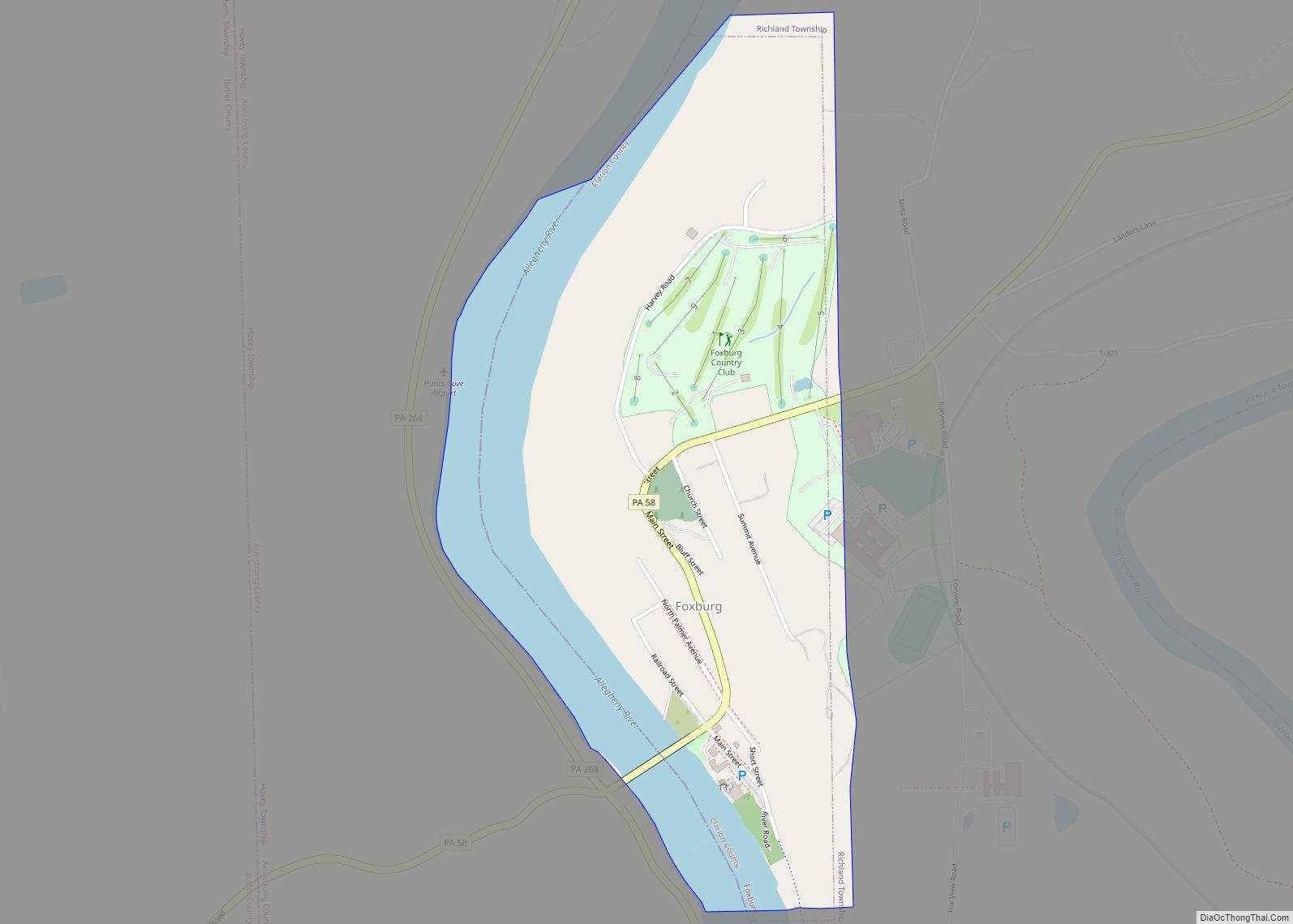
Foxburg Road Map
Foxburg city Satellite Map
Geography
Foxburg is located in western Clarion County at 41°8′35″N 79°40′48″W / 41.14306°N 79.68000°W / 41.14306; -79.68000 (41.142937, -79.679926), along the east bank of the Allegheny River, which forms the boundary with Armstrong County. Pennsylvania Route 58 passes through the borough, crossing the Allegheny on the new Foxburg Bridge, which opened in 2009. PA 58 leads northeast and uphill 2 miles (3 km) to St. Petersburg and west 6 miles (10 km) to Eau Claire. From the west end of the bridge, Pennsylvania Route 268 leads south 3 miles (5 km) to Parker and north 3 miles (5 km) to Emlenton.
According to the United States Census Bureau, Foxburg has a total area of 0.50 square miles (1.3 km), of which 0.39 square miles (1.0 km) is land and 0.12 square miles (0.3 km), or 26.45%, is water.
See also
Map of Pennsylvania State and its subdivision:- Adams
- Allegheny
- Armstrong
- Beaver
- Bedford
- Berks
- Blair
- Bradford
- Bucks
- Butler
- Cambria
- Cameron
- Carbon
- Centre
- Chester
- Clarion
- Clearfield
- Clinton
- Columbia
- Crawford
- Cumberland
- Dauphin
- Delaware
- Elk
- Erie
- Fayette
- Forest
- Franklin
- Fulton
- Greene
- Huntingdon
- Indiana
- Jefferson
- Juniata
- Lackawanna
- Lancaster
- Lawrence
- Lebanon
- Lehigh
- Luzerne
- Lycoming
- Mc Kean
- Mercer
- Mifflin
- Monroe
- Montgomery
- Montour
- Northampton
- Northumberland
- Perry
- Philadelphia
- Pike
- Potter
- Schuylkill
- Snyder
- Somerset
- Sullivan
- Susquehanna
- Tioga
- Union
- Venango
- Warren
- Washington
- Wayne
- Westmoreland
- Wyoming
- York
- Alabama
- Alaska
- Arizona
- Arkansas
- California
- Colorado
- Connecticut
- Delaware
- District of Columbia
- Florida
- Georgia
- Hawaii
- Idaho
- Illinois
- Indiana
- Iowa
- Kansas
- Kentucky
- Louisiana
- Maine
- Maryland
- Massachusetts
- Michigan
- Minnesota
- Mississippi
- Missouri
- Montana
- Nebraska
- Nevada
- New Hampshire
- New Jersey
- New Mexico
- New York
- North Carolina
- North Dakota
- Ohio
- Oklahoma
- Oregon
- Pennsylvania
- Rhode Island
- South Carolina
- South Dakota
- Tennessee
- Texas
- Utah
- Vermont
- Virginia
- Washington
- West Virginia
- Wisconsin
- Wyoming
