Franklin is a city and the county seat of Venango County, Pennsylvania. The population was 6,097 in the 2020 census. Franklin is part of the Oil City, PA Micropolitan Statistical Area.
Franklin is known for its three-day autumn festival in October, Applefest, which attracts hundreds of thousands of visitors.
| Name: | Franklin borough |
|---|---|
| LSAD Code: | 21 |
| LSAD Description: | borough (suffix) |
| State: | Pennsylvania |
| County: | Cambria County |
| Total Area: | 4.80 sq mi (12.44 km²) |
| Land Area: | 4.68 sq mi (12.11 km²) |
| Water Area: | 0.13 sq mi (0.33 km²) 1.70% |
| Total Population: | 6,077 |
| Population Density: | 1,299.34/sq mi (501.67/km²) |
| ZIP code: | 16323 |
| FIPS code: | 4227360 |
Online Interactive Map
Click on ![]() to view map in "full screen" mode.
to view map in "full screen" mode.
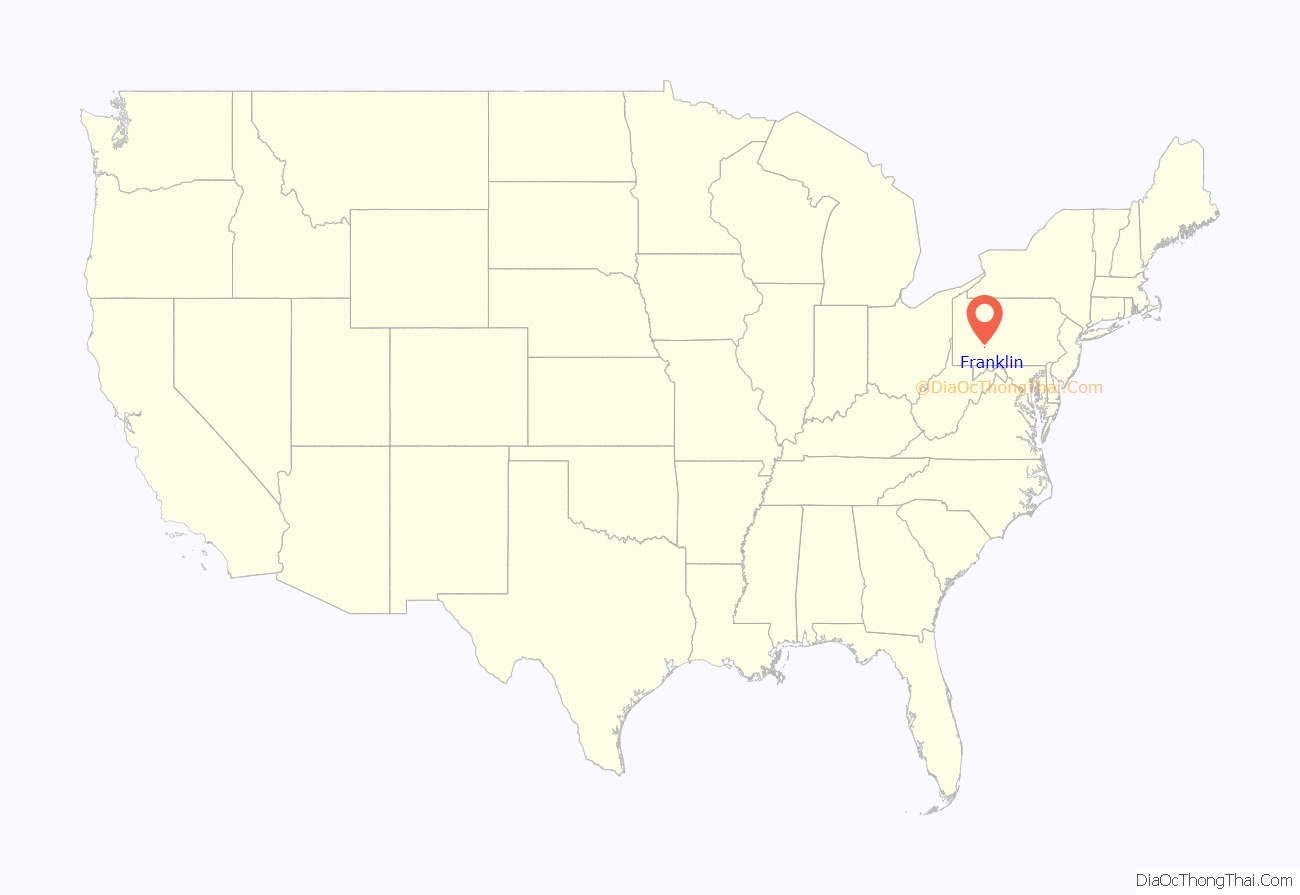
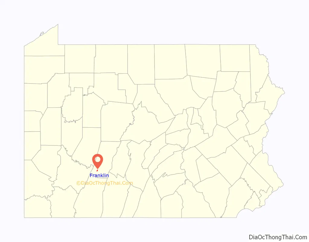
Franklin location map. Where is Franklin borough?
History
Franklin is located at the confluence of French Creek and the Allegheny River, an important site used for centuries by Native Americans. They had long before developed what became known as the Venango Path, passing from the head of French Creek north to Presque Isle Bay on Lake Erie. Via French Creek and the Allegheny River, the portage effectively linked the waterways of the Ohio River and the Great Lakes.
In 1740, Scottish fur trader John Fraser built a trading post here at Venango, the Lenape village. The French also had designs on this region.
They wanted to link their colonies of New France (Quebec) north of the Great Lakes, in Illinois Country (accessible via the Ohio River}, and La Louisiane, on the lower Mississippi River. As tensions increased between France and Great Britain prior to the onset of the French and Indian War (as the North American front of the Seven Years’ War was called), the French constructed four forts to control their continued access to the Venango Path and these important waterways. From north to south they were Fort Presque Isle, Fort Le Boeuf (at the south end of the portage and head of French Creek), Fort Machault, and Fort Duquesne, at the Forks of the Ohio.
In December 1753, George Washington, then a 21-year-old major in the Virginia militia, was sent to Fort Le Boeuf to warn the French that they were trespassing on British land and should leave. Although providing respite to Washington and his party, the fort commander gave him a letter suggesting that the Governor of Virginia should instead deliver his message to the French commander in Quebec, New France.
The French maintained this and their other three forts, including at Fort Machault until July 1759, when they surrendered Fort Niagara to the British. At that time, the commander of Fort Presque Isle sent orders to the commanders of Fort Le Boeuf and Fort Machault to abandon their positions and return north. Before leaving, the French troops burned both of these forts to the ground to prevent their use by the British.
In 1760, the British erected Fort Venango here, replacing Fort Marchault. In 1763, Native Americans allied with the French killed many British. The British colonists had repeatedly attacked even neutral tribes, such as the Lenape, who then mostly allied with the French. After the war, the British Americans constructed Fort Franklin here, named after Benjamin Franklin.
In 1787 Andrew Ellicott, who surveyed Washington, D.C., was hired to lay out the town of Franklin, which had developed around the fort. It became a trading center for a largely rural, agricultural region. Once oil was discovered in the late 19th century in nearby Titusville, Franklin became a booming oil town. After other fields were discovered in Texas and Oklahoma, and oil companies moved west, Franklin developed an industry of machinery companies.
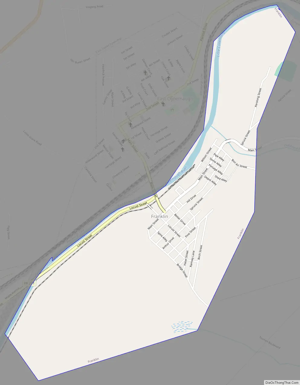
Franklin Road Map
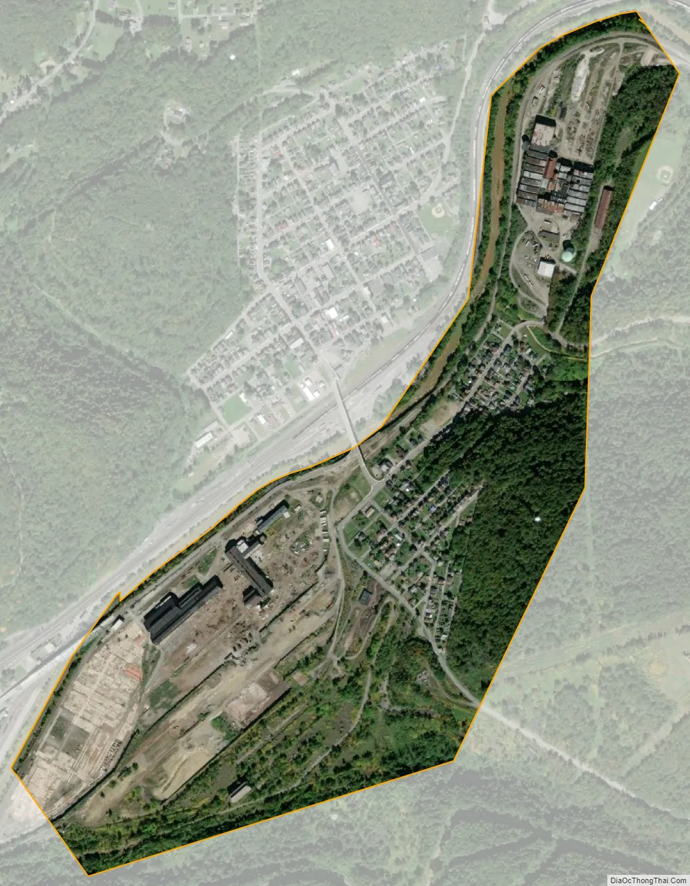
Franklin city Satellite Map
Geography
Franklin is located at 41°23′52″N 79°49′53″W / 41.39778°N 79.83139°W / 41.39778; -79.83139 (41.3978, -79.8314).
According to the U.S. Census Bureau, the city has a total area of 4.7 square miles (12 km), of which 4.6 square miles (12 km) is land and 0.1 square miles (0.26 km) (1.70%) is water.
Climate
See also
Map of Pennsylvania State and its subdivision:- Adams
- Allegheny
- Armstrong
- Beaver
- Bedford
- Berks
- Blair
- Bradford
- Bucks
- Butler
- Cambria
- Cameron
- Carbon
- Centre
- Chester
- Clarion
- Clearfield
- Clinton
- Columbia
- Crawford
- Cumberland
- Dauphin
- Delaware
- Elk
- Erie
- Fayette
- Forest
- Franklin
- Fulton
- Greene
- Huntingdon
- Indiana
- Jefferson
- Juniata
- Lackawanna
- Lancaster
- Lawrence
- Lebanon
- Lehigh
- Luzerne
- Lycoming
- Mc Kean
- Mercer
- Mifflin
- Monroe
- Montgomery
- Montour
- Northampton
- Northumberland
- Perry
- Philadelphia
- Pike
- Potter
- Schuylkill
- Snyder
- Somerset
- Sullivan
- Susquehanna
- Tioga
- Union
- Venango
- Warren
- Washington
- Wayne
- Westmoreland
- Wyoming
- York
- Alabama
- Alaska
- Arizona
- Arkansas
- California
- Colorado
- Connecticut
- Delaware
- District of Columbia
- Florida
- Georgia
- Hawaii
- Idaho
- Illinois
- Indiana
- Iowa
- Kansas
- Kentucky
- Louisiana
- Maine
- Maryland
- Massachusetts
- Michigan
- Minnesota
- Mississippi
- Missouri
- Montana
- Nebraska
- Nevada
- New Hampshire
- New Jersey
- New Mexico
- New York
- North Carolina
- North Dakota
- Ohio
- Oklahoma
- Oregon
- Pennsylvania
- Rhode Island
- South Carolina
- South Dakota
- Tennessee
- Texas
- Utah
- Vermont
- Virginia
- Washington
- West Virginia
- Wisconsin
- Wyoming


