Freeport is a borough in Armstrong County, Pennsylvania, United States. It is situated along the Allegheny River in the southwestern corner of the county. The population was 1,736 at the 2020 census.
| Name: | Freeport borough |
|---|---|
| LSAD Code: | 21 |
| LSAD Description: | borough (suffix) |
| State: | Pennsylvania |
| County: | Armstrong County |
| Incorporated: | 1833 |
| Elevation: | 790 ft (240 m) |
| Total Area: | 1.30 sq mi (3.36 km²) |
| Land Area: | 1.27 sq mi (3.29 km²) |
| Water Area: | 0.03 sq mi (0.07 km²) |
| Total Population: | 1,736 |
| Population Density: | 1,366.93/sq mi (527.98/km²) |
| Area code: | 724, 878 |
| FIPS code: | 4227784 |
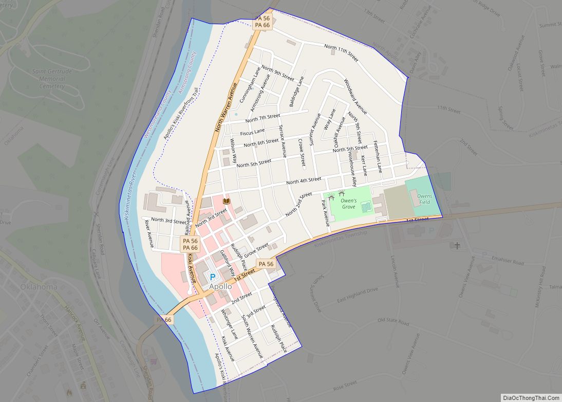
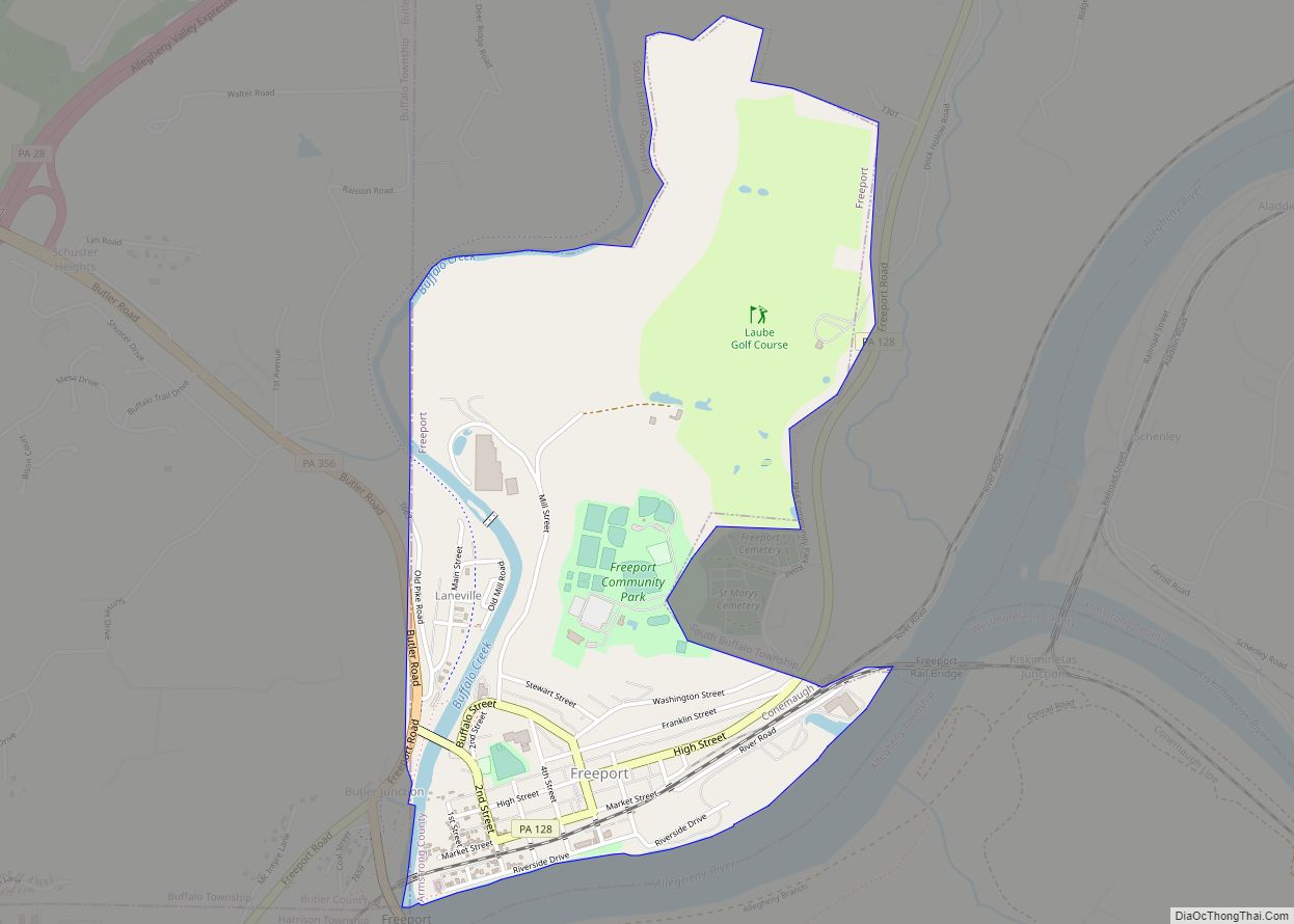
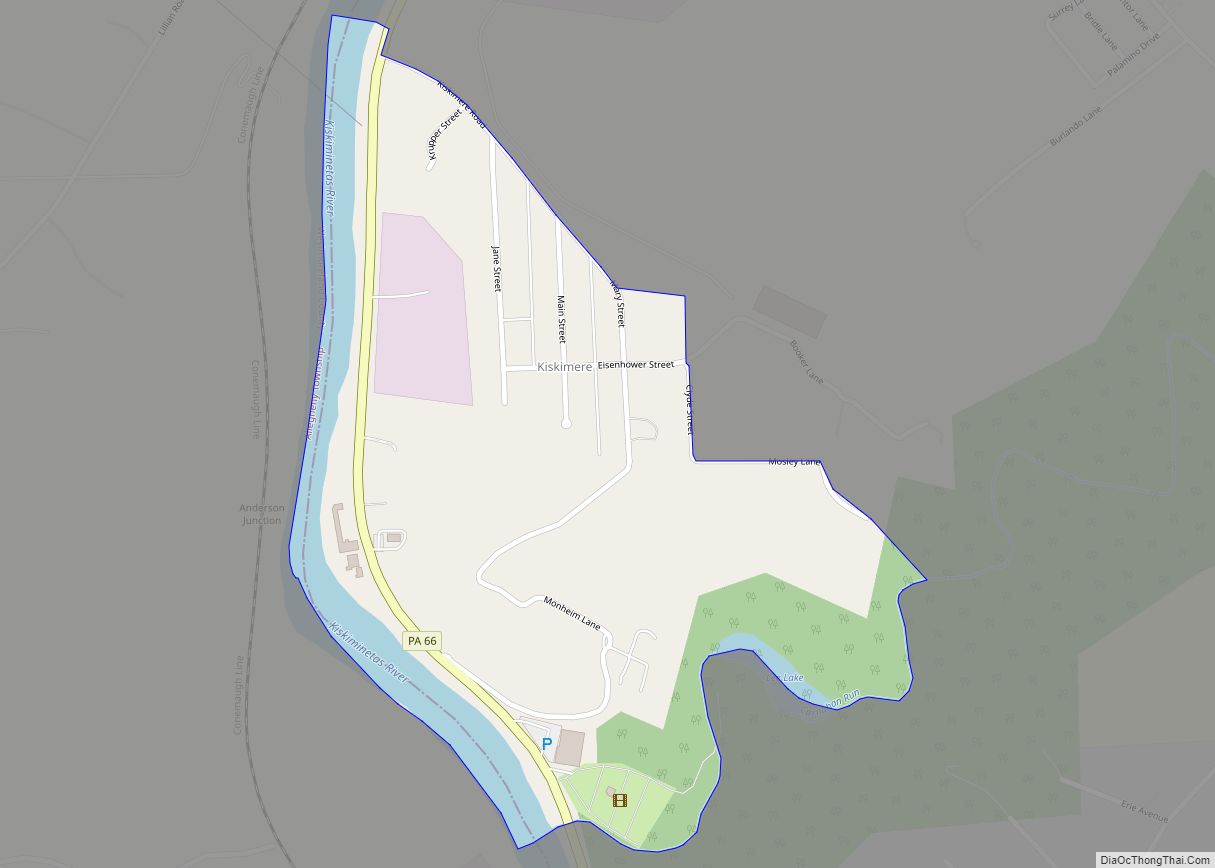
Online Interactive Map
Click on ![]() to view map in "full screen" mode.
to view map in "full screen" mode.
Freeport location map. Where is Freeport borough?


History
The first settlement was made at Freeport in the 1760s. Freeport received its name from David Todd, who declared it a free and open port. The borough was incorporated in 1833. Freeport was a port on the former Pennsylvania Canal.
Twenty-seven lots on the lands became Freeport borough, and were conveyed by William and David Todd for $24 each in 1797. This land was originally part of Westmoreland County but by the time the town was laid out, it had been made part of Allegheny County.
This land was originally called Todd’s Town after the founding Todd family, and it would go by this name until its incorporation in 1833. It was a proclamation by David Todd that gave the town the name of Freeport. Todd said: “all the ground between the houses on Water Street and the river shall be free to all the lot-owners, and that boats, rafts, and other river craft landing here should be free of wharfage. Ever since the laying out of the town, it is a free port for all the river craft; so, this town christened by the proprietors has ever since been called Freeport.”
Freeport’s position on the Allegheny river gave it an ideal spot for industry and trade going to Pittsburgh. Therefore, it had several industrial businesses throughout the 19th century including the Lucesco Oil Refinery and the Freeport Brick Company. Remains of these businesses can still be seen on the river and are sometimes mistaken for the remains of the old Pennsylvania canal.
Freeport P.O. appears in the 1876 Atlas of Armstrong County, Pennsylvania. Its early history is detailed in Robert Walter Smith’s 1883 History of Armstrong County. A more recent account of Freeport’s history up to 2018 was published by Steven Gardner.
Freeport Road Map

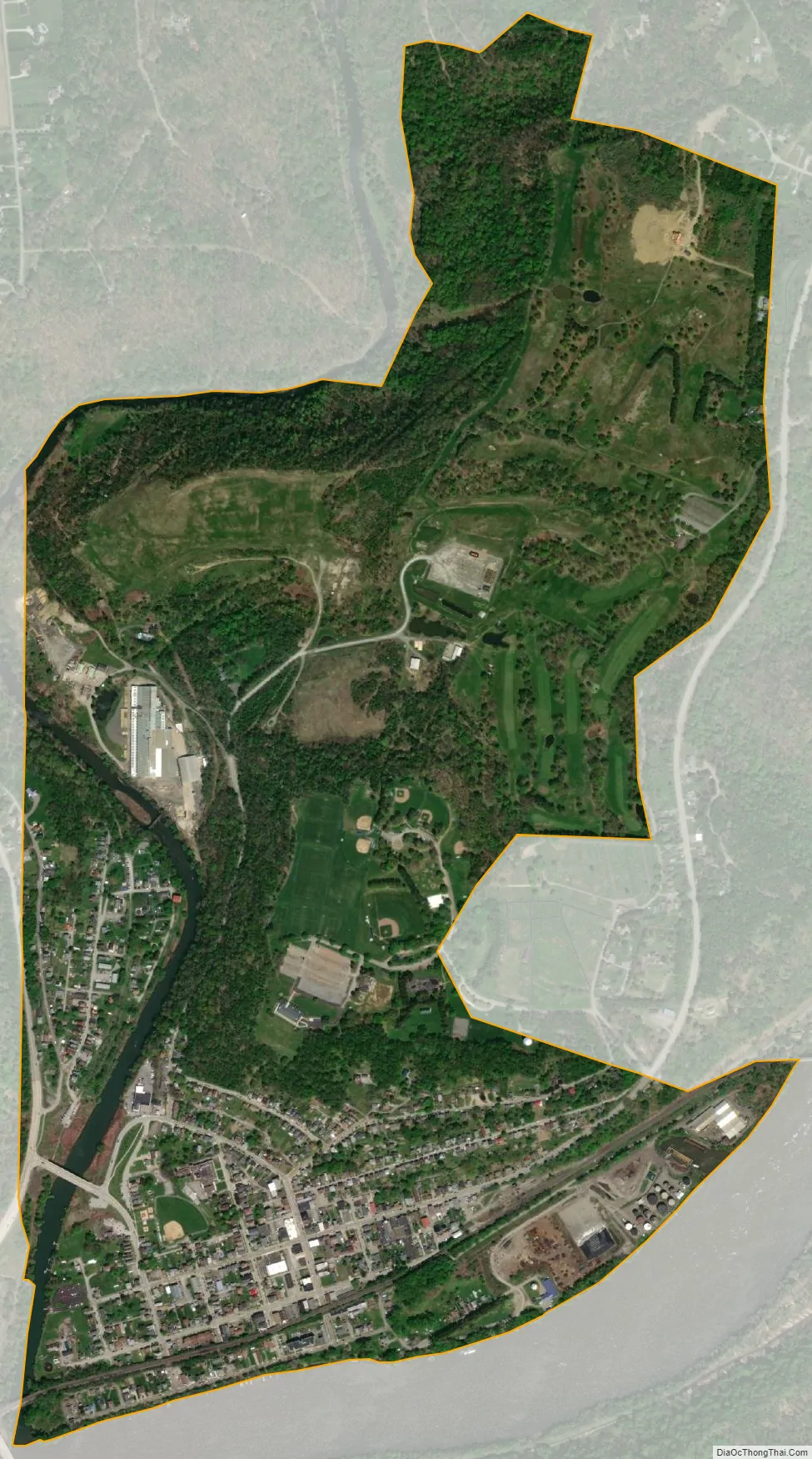
Freeport city Satellite Map
Geography
Freeport is located at 40°40′28″N 79°41′11″W / 40.67444°N 79.68639°W / 40.67444; -79.68639 (40.674337, -79.686320). According to the U.S. Census Bureau, the borough has a total area of 1.3 square miles (3.4 km), of which 1.3 square miles (3.3 km) is land and 0.039 square miles (0.1 km), or 2.20%, is water.
Streams
The Kiskiminetas River joins the Allegheny River near Freeport; specifically on its eastern bank between Schenley and Kiskiminetas Junction, less than one mile northeast of Freeport.
Buffalo Creek enters the Allegheny River on its western bank at Freeport.
See also
Map of Pennsylvania State and its subdivision:- Adams
- Allegheny
- Armstrong
- Beaver
- Bedford
- Berks
- Blair
- Bradford
- Bucks
- Butler
- Cambria
- Cameron
- Carbon
- Centre
- Chester
- Clarion
- Clearfield
- Clinton
- Columbia
- Crawford
- Cumberland
- Dauphin
- Delaware
- Elk
- Erie
- Fayette
- Forest
- Franklin
- Fulton
- Greene
- Huntingdon
- Indiana
- Jefferson
- Juniata
- Lackawanna
- Lancaster
- Lawrence
- Lebanon
- Lehigh
- Luzerne
- Lycoming
- Mc Kean
- Mercer
- Mifflin
- Monroe
- Montgomery
- Montour
- Northampton
- Northumberland
- Perry
- Philadelphia
- Pike
- Potter
- Schuylkill
- Snyder
- Somerset
- Sullivan
- Susquehanna
- Tioga
- Union
- Venango
- Warren
- Washington
- Wayne
- Westmoreland
- Wyoming
- York
- Alabama
- Alaska
- Arizona
- Arkansas
- California
- Colorado
- Connecticut
- Delaware
- District of Columbia
- Florida
- Georgia
- Hawaii
- Idaho
- Illinois
- Indiana
- Iowa
- Kansas
- Kentucky
- Louisiana
- Maine
- Maryland
- Massachusetts
- Michigan
- Minnesota
- Mississippi
- Missouri
- Montana
- Nebraska
- Nevada
- New Hampshire
- New Jersey
- New Mexico
- New York
- North Carolina
- North Dakota
- Ohio
- Oklahoma
- Oregon
- Pennsylvania
- Rhode Island
- South Carolina
- South Dakota
- Tennessee
- Texas
- Utah
- Vermont
- Virginia
- Washington
- West Virginia
- Wisconsin
- Wyoming