Gallitzin is a borough in Cambria County, Pennsylvania, United States. It is bordered by Gallitzin Township and Tunnelhill, all of which sit astride the Eastern continental divide. Tunnel Hill and Gallitzin both are pierced by railroad tunnels shortening the necessary ascent for rails crossing the Allegheny Front onto the Allegheny Plateau which encompasses the towns’ terrains. Topping the gaps of the Allegheny, the area is one of only five major breaks in the Appalachians allowing east–west transportation corridors before the advent of 20th century technologies.
| Name: | Gallitzin borough |
|---|---|
| LSAD Code: | 21 |
| LSAD Description: | borough (suffix) |
| State: | Pennsylvania |
| County: | Cambria County |
| Incorporated: | 1873 |
| Elevation: | 2,225 ft (678 m) |
| Total Area: | 0.74 sq mi (1.91 km²) |
| Land Area: | 0.74 sq mi (1.91 km²) |
| Water Area: | 0.00 sq mi (0.00 km²) |
| Total Population: | 1,536 |
| Population Density: | 2,078.48/sq mi (802.86/km²) |
| ZIP code: | 16641 |
| Area code: | 814 |
| FIPS code: | 4228328 |
| GNISfeature ID: | 1215022 |
Online Interactive Map
Click on ![]() to view map in "full screen" mode.
to view map in "full screen" mode.
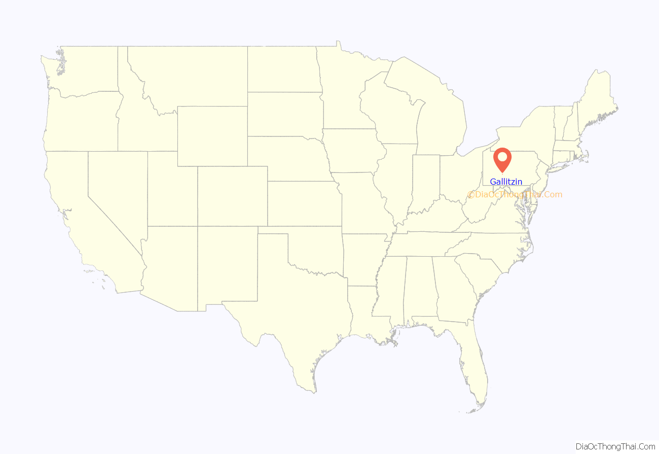
Gallitzin location map. Where is Gallitzin borough?
History
Dutch traders and trappers friendly to the Susquehannock may have visited the region about 1620, as the town sits atop a mountain pass through which the ancient Amerindian trails (later renamed the Kittanning Path) transited. The plateau atop the escarpment was the domain of the Iroquoian confederations of the Erie people and the Susquehannock peoples, both sharing the byways and hunting lands of the Allegheny Mountains until about the mid-1650s. The Susquehannock and Erie people are known to have traded through the area, one of the few avenues the Erie, who dominated the hunting lands west of the Alleghenies, had to obtain by firearms; though, by all accounts, all the tribes in contact with the numerous Erie were reluctant to trade them firearms. Further, Susquehannocks are quoted to have expected 800 Erie warriors in 1662 to join in their war with the Iroquois. By 1675, both the Susquehannocks and Erie tribes would both fall to rampant multiple-years of epidemic diseases, in combination with the vicious multi-decade internecine territorial bloodletting known as the Beaver Wars, which left the Alleghenies a remote hunting ground of the Five Nations of the Iroquois Confederation.
By the early 1700s, the Delaware people still living along the eastern seaboard were increasingly treated as bad or worse than slaves, and displaced clear across the breadth of Pennsylvania to beyond the Allegheny Front, where they settled along the rivers of Western Pennsylvania. One of their larger settlements, and closest to the gaps of the Allegheny, was the Amerindian town of Kittanning along the middle reaches of the Allegheny River. These towns would generally ally themselves with the French during the French and Indian War, causing settlers in central Pennsylvania to mount a guard and patrol on the gaps. By the late 1700s, the remnant Seneca and Cayuga that became known as the Ohio Iroquois or Mingo would have ranged the area, especially because they were known to make their towns along defensible hill tops and kept to the uplands. With iron and coal discovered west of the gaps, white settlers began traveling west through the area around the time the American Revolution came to a close. By 1824, the visionary Main Line of Public Works legislation had been debated and signed and the construction of the Allegheny Portage Railroad soon began aiming to connect Pittsburgh and the Ohio Country to Philadelphia by canals. In 1838, this plan was altered to incorporate the rapidly-developing and ever more capable railroad technology. In 1845, the Pennsylvania legislature required the new Pennsylvania Railroad to cross the mountains, and the surveyed route would create Gallitzin, which began life as ‘Summit Tunnel’.
A Railroad town standing 12 miles (19 km) west of Altoona, it was first incorporated in 1872, and named for Prince Gallitzin, who founded the Catholic town of Loretto in Cambria County. Coal mining, the Pennsylvania Railroad yard in the town center and the production of coke were important industries. The town still sports an important rail yard with a turning wye for helper engine turnaround and holds two rail tunnels leading east and downward from the yard trackage to the famous PRR Horseshoe Curve, whose upper approaches are within the town.
Gallitzin is listed by the US Census Bureau as part of the Johnstown Metropolitan Statistical Area, although local sources consider it part of the Altoona area, due to being located closer to Altoona than to Johnstown. In 1900, 2,759 people lived in Gallitzin, and by 1910, that number had risen to 3,504 people. As of the 2010 United States Census, the borough population was 1,668.
Gallitzin is known for its historic railroad tunnels (Gallitzin Tunnels), which are a minor tourist draw. The scenic Horseshoe Curve and the Allegheny Portage Railroad historic site are also nearby situated in different gaps of the Allegheny.
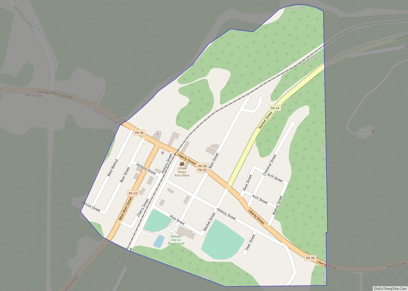
Gallitzin Road Map
Gallitzin city Satellite Map
Geography
Gallitzin is located in eastern Cambria County at 40°28′55″N 78°33′8″W / 40.48194°N 78.55222°W / 40.48194; -78.55222 (40.481816, -78.552336), along the eastern edge of the Allegheny Plateau, a highland area of hills and small streams formed differently from the Ridge-and-valley Appalachians to the east and south of the plateau’s edge, the Allegheny Ridge in Pennsylvania. Sitting astride the eastern Continental divide along the edge of the Allegheny Front escarpment, the immediate area is lower than other portions of the Appalachian plateau, so contains several small streams and freshets forming the gaps of the Allegheny Escarpment to the east, where the ground falls away rapidly, forming steep terrain landforms. According to the U.S. Census Bureau, the borough has a total area of 0.73 square miles (1.9 km), all land.
Gallitzin has the tenth-highest elevation of towns in Pennsylvania, at 2,167 feet (661 m).
See also
Map of Pennsylvania State and its subdivision:- Adams
- Allegheny
- Armstrong
- Beaver
- Bedford
- Berks
- Blair
- Bradford
- Bucks
- Butler
- Cambria
- Cameron
- Carbon
- Centre
- Chester
- Clarion
- Clearfield
- Clinton
- Columbia
- Crawford
- Cumberland
- Dauphin
- Delaware
- Elk
- Erie
- Fayette
- Forest
- Franklin
- Fulton
- Greene
- Huntingdon
- Indiana
- Jefferson
- Juniata
- Lackawanna
- Lancaster
- Lawrence
- Lebanon
- Lehigh
- Luzerne
- Lycoming
- Mc Kean
- Mercer
- Mifflin
- Monroe
- Montgomery
- Montour
- Northampton
- Northumberland
- Perry
- Philadelphia
- Pike
- Potter
- Schuylkill
- Snyder
- Somerset
- Sullivan
- Susquehanna
- Tioga
- Union
- Venango
- Warren
- Washington
- Wayne
- Westmoreland
- Wyoming
- York
- Alabama
- Alaska
- Arizona
- Arkansas
- California
- Colorado
- Connecticut
- Delaware
- District of Columbia
- Florida
- Georgia
- Hawaii
- Idaho
- Illinois
- Indiana
- Iowa
- Kansas
- Kentucky
- Louisiana
- Maine
- Maryland
- Massachusetts
- Michigan
- Minnesota
- Mississippi
- Missouri
- Montana
- Nebraska
- Nevada
- New Hampshire
- New Jersey
- New Mexico
- New York
- North Carolina
- North Dakota
- Ohio
- Oklahoma
- Oregon
- Pennsylvania
- Rhode Island
- South Carolina
- South Dakota
- Tennessee
- Texas
- Utah
- Vermont
- Virginia
- Washington
- West Virginia
- Wisconsin
- Wyoming
