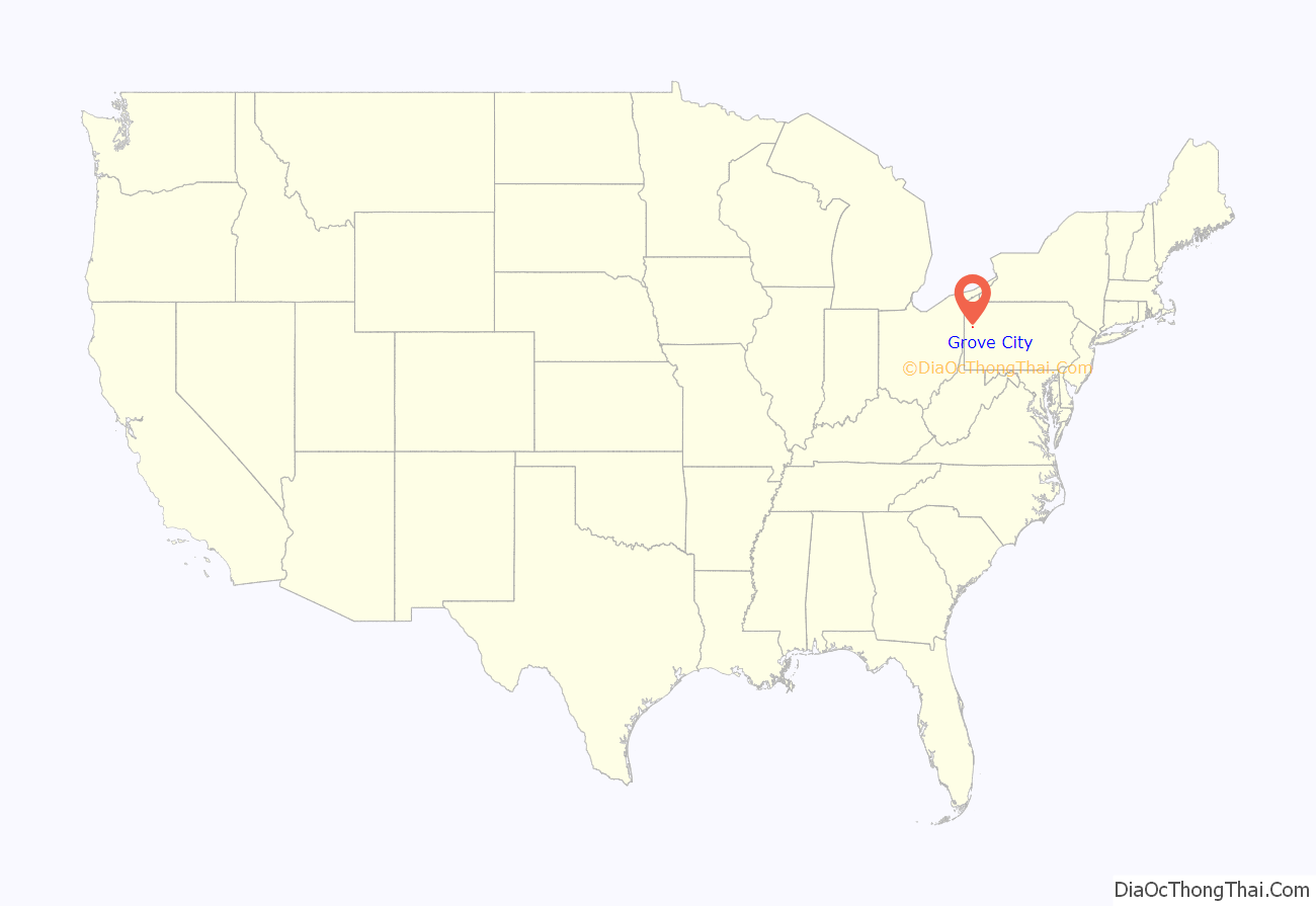
Grove City is a borough in southeastern Mercer County, Pennsylvania, United States, located approximately 60 miles (97 km) north of Pittsburgh and 75 miles (121 km) south of Erie. At the 2020 census, the population was 7,894. It is part of the Youngstown–Warren metropolitan area. It is the home of Grove City College, a private liberal arts college, as well as George Junior Republic. The nearby Grove City Premium Outlets take their name from Grove City.
Historically an industrial center, Grove City has manufactured locomotive engines, carriages, gas engines, foundry products, and motor trucks.
| Name: | Grove City borough |
|---|---|
| LSAD Code: | 21 |
| LSAD Description: | borough (suffix) |
| State: | Pennsylvania |
| County: | Mercer County |
| Total Area: | 2.70 sq mi (7.00 km²) |
| Land Area: | 2.70 sq mi (6.98 km²) |
| Water Area: | 0.01 sq mi (0.01 km²) |
| Total Population: | 7,871 |
| Population Density: | 2,919.51/sq mi (1,127.22/km²) |
| Area code: | 724 |
| FIPS code: | 4231656 |
| Website: | http://grovecityonline.com/ |
Online Interactive Map
Click on ![]() to view map in "full screen" mode.
to view map in "full screen" mode.
Grove City location map. Where is Grove City borough?
History
In 1798, Valentine Cunningham and his family from Huntingdon County, Pennsylvania settled along Wolf Creek, building a gristmill with fellow American Revolutionary War veteran and settler Robert Glenn on the creek in 1799 and naming the area Pine Grove. About a mile north, another community was drafted surrounding a gristmill, named Slabtown. In the early years of the 19th century, Cunningham built a sawmill and schoolhouse in Pine Grove, while Robert Moore built up the area around Slabtown with a sawmill and small businesses. By 1837, Cunningham’s sons J.G. and Charles returned to Pine Grove to continue its expansion, formally laying it out around this time.
By the 1850s, a Wolf Creek post office had been formed to serve both communities as they became increasingly merged. Pine Grove Academy, the precursor to Grove City College, was established in 1858. Around the same time, large coal deposits were discovered in the area, kickstarting a mining industry. The Pittsburgh, Shenango and Lake Erie Railroad was extended to Pine Grove in 1872, and Pine Grove Normal Academy was chartered to grant degrees in 1876. On January 1, 1883, the borough of Grove City was incorporated, changing its name as Pine Grove, Schuylkill County was already established. George Junior Republic was established in 1909.
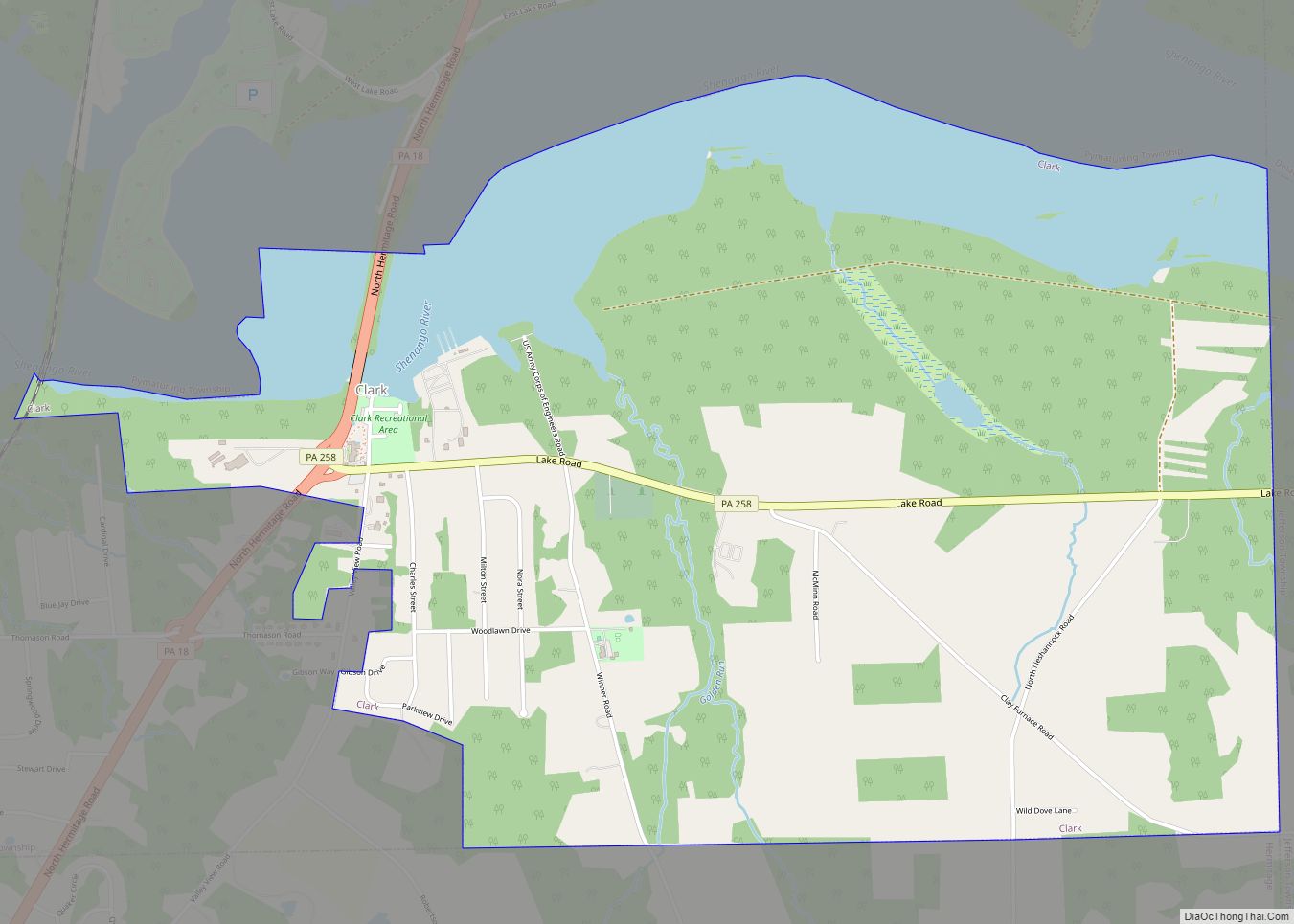
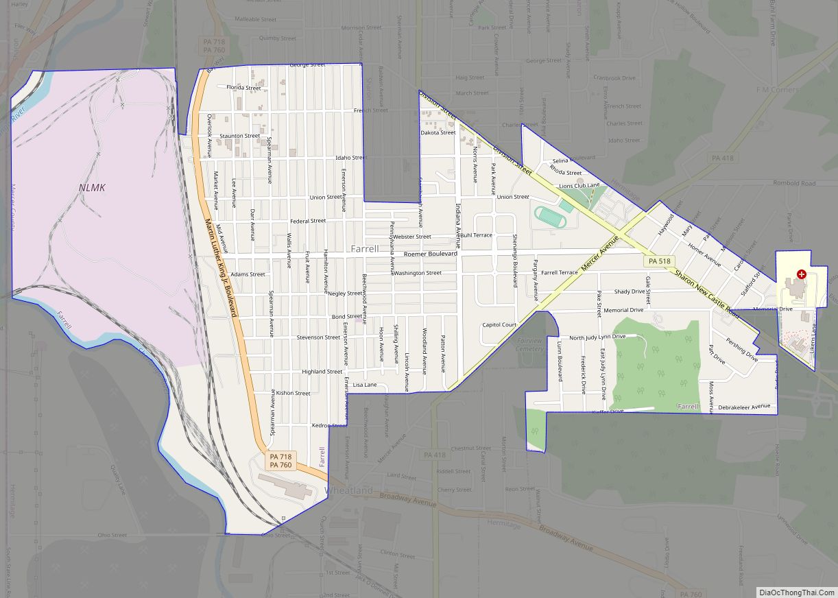
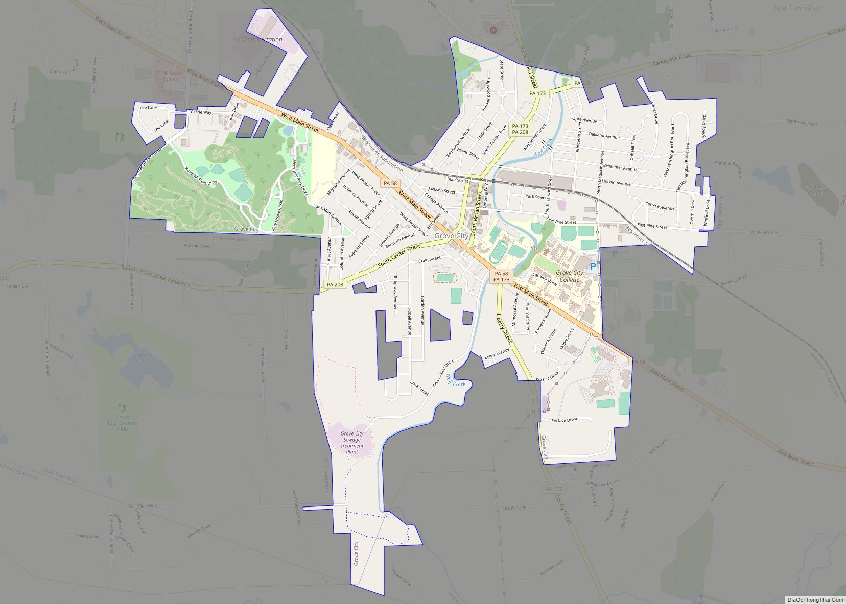
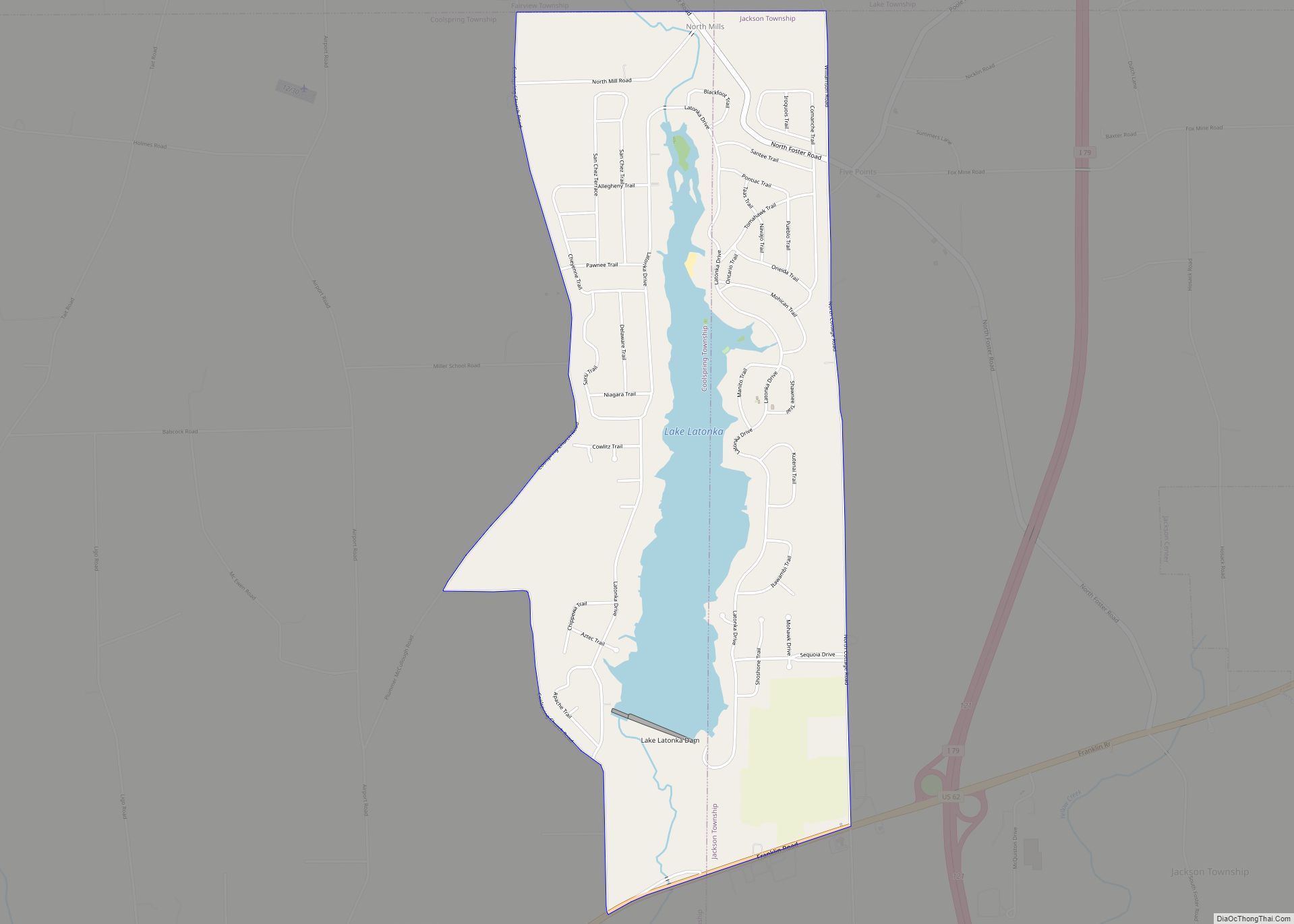
Grove City Road Map
Grove City city Satellite Map
See also
Map of Pennsylvania State and its subdivision:- Adams
- Allegheny
- Armstrong
- Beaver
- Bedford
- Berks
- Blair
- Bradford
- Bucks
- Butler
- Cambria
- Cameron
- Carbon
- Centre
- Chester
- Clarion
- Clearfield
- Clinton
- Columbia
- Crawford
- Cumberland
- Dauphin
- Delaware
- Elk
- Erie
- Fayette
- Forest
- Franklin
- Fulton
- Greene
- Huntingdon
- Indiana
- Jefferson
- Juniata
- Lackawanna
- Lancaster
- Lawrence
- Lebanon
- Lehigh
- Luzerne
- Lycoming
- Mc Kean
- Mercer
- Mifflin
- Monroe
- Montgomery
- Montour
- Northampton
- Northumberland
- Perry
- Philadelphia
- Pike
- Potter
- Schuylkill
- Snyder
- Somerset
- Sullivan
- Susquehanna
- Tioga
- Union
- Venango
- Warren
- Washington
- Wayne
- Westmoreland
- Wyoming
- York
- Alabama
- Alaska
- Arizona
- Arkansas
- California
- Colorado
- Connecticut
- Delaware
- District of Columbia
- Florida
- Georgia
- Hawaii
- Idaho
- Illinois
- Indiana
- Iowa
- Kansas
- Kentucky
- Louisiana
- Maine
- Maryland
- Massachusetts
- Michigan
- Minnesota
- Mississippi
- Missouri
- Montana
- Nebraska
- Nevada
- New Hampshire
- New Jersey
- New Mexico
- New York
- North Carolina
- North Dakota
- Ohio
- Oklahoma
- Oregon
- Pennsylvania
- Rhode Island
- South Carolina
- South Dakota
- Tennessee
- Texas
- Utah
- Vermont
- Virginia
- Washington
- West Virginia
- Wisconsin
- Wyoming
