Halifax is a borough in Dauphin County, Pennsylvania, United States. Halifax was incorporated as a borough on May 29, 1785. It is situated at the confluence of Armstrong Creek and the Susquehanna River. The population was 795 at the 2020 census. It is part of the Harrisburg–Carlisle Metropolitan Statistical Area.
Fort Halifax was located along the Susquehanna River near the present borough. It was a temporary stronghold for the Pennsylvania colonial militia from 1756 to 1757, during the French and Indian War. Prior to settlement by Europeans the area was inhabited by North American Indians, presumably Susquehannocks, evidenced by frequent unearthing of tools and arrowheads by local residents and farmers.
Just outside the borough of Halifax lies the Clemson Island Prehistoric District, on Clemson Island which falls under the jurisdiction of Halifax Township.
| Name: | Halifax borough |
|---|---|
| LSAD Code: | 21 |
| LSAD Description: | borough (suffix) |
| State: | Pennsylvania |
| County: | Dauphin County |
| Incorporated: | 1785 |
| Elevation: | 433 ft (132 m) |
| Total Area: | 0.34 sq mi (0.87 km²) |
| Land Area: | 0.34 sq mi (0.87 km²) |
| Water Area: | 0.00 sq mi (0.00 km²) |
| Total Population: | 796 |
| Population Density: | 2,369.05/sq mi (915.87/km²) |
| ZIP code: | 17032 |
| Area code: | 717 and 223 |
| FIPS code: | 4232032 |
| Website: | halifaxborough.com |
Online Interactive Map
Click on ![]() to view map in "full screen" mode.
to view map in "full screen" mode.
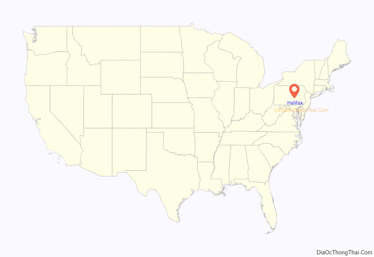
Halifax location map. Where is Halifax borough?
History
The Legislative Route 1 Sycamore Allee is located along both sides of the road south of Halifax and on the east side of the road north of Halifax; it was listed on the National Register of Historic Places in 2007.
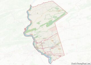
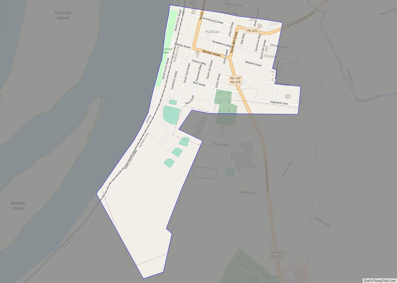
Halifax Road Map
Halifax city Satellite Map
Geography
Halifax is located in western Dauphin County at 40°28′3″N 76°55′52″W / 40.46750°N 76.93111°W / 40.46750; -76.93111 (40.467623, -76.931156), on the east bank of the Susquehanna River. Pennsylvania Route 147 passes through the borough, leading north along the Susquehanna 6 miles (10 km) to Millersburg and southwest 7 miles (11 km) to U.S. Route 22 near Duncannon. Pennsylvania Route 225 leads northeast from Halifax 9 miles (14 km) to Elizabethville. It follows PA 147 south out of Halifax, then splits off to head south over Peters Mountain to Dauphin, 9 miles (14 km) south of Halifax.
According to the United States Census Bureau, Halifax has a total area of 0.34 square miles (0.87 km), all land.
See also
Map of Pennsylvania State and its subdivision:- Adams
- Allegheny
- Armstrong
- Beaver
- Bedford
- Berks
- Blair
- Bradford
- Bucks
- Butler
- Cambria
- Cameron
- Carbon
- Centre
- Chester
- Clarion
- Clearfield
- Clinton
- Columbia
- Crawford
- Cumberland
- Dauphin
- Delaware
- Elk
- Erie
- Fayette
- Forest
- Franklin
- Fulton
- Greene
- Huntingdon
- Indiana
- Jefferson
- Juniata
- Lackawanna
- Lancaster
- Lawrence
- Lebanon
- Lehigh
- Luzerne
- Lycoming
- Mc Kean
- Mercer
- Mifflin
- Monroe
- Montgomery
- Montour
- Northampton
- Northumberland
- Perry
- Philadelphia
- Pike
- Potter
- Schuylkill
- Snyder
- Somerset
- Sullivan
- Susquehanna
- Tioga
- Union
- Venango
- Warren
- Washington
- Wayne
- Westmoreland
- Wyoming
- York
- Alabama
- Alaska
- Arizona
- Arkansas
- California
- Colorado
- Connecticut
- Delaware
- District of Columbia
- Florida
- Georgia
- Hawaii
- Idaho
- Illinois
- Indiana
- Iowa
- Kansas
- Kentucky
- Louisiana
- Maine
- Maryland
- Massachusetts
- Michigan
- Minnesota
- Mississippi
- Missouri
- Montana
- Nebraska
- Nevada
- New Hampshire
- New Jersey
- New Mexico
- New York
- North Carolina
- North Dakota
- Ohio
- Oklahoma
- Oregon
- Pennsylvania
- Rhode Island
- South Carolina
- South Dakota
- Tennessee
- Texas
- Utah
- Vermont
- Virginia
- Washington
- West Virginia
- Wisconsin
- Wyoming
