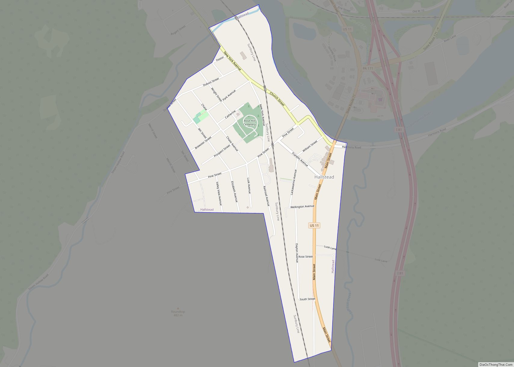
Hallstead is a borough in Susquehanna County, Pennsylvania. The population was 1,179 at the 2020 census.
| Name: | Hallstead borough |
|---|---|
| LSAD Code: | 21 |
| LSAD Description: | borough (suffix) |
| State: | Pennsylvania |
| County: | Susquehanna County |
| Incorporated: | 1874 |
| Total Area: | 0.42 sq mi (1.08 km²) |
| Land Area: | 0.42 sq mi (1.08 km²) |
| Water Area: | 0.00 sq mi (0.00 km²) |
| Total Population: | 1,174 |
| Population Density: | 2,808.61/sq mi (1,085.42/km²) |
| Area code: | 570 |
| FIPS code: | 4232080 |
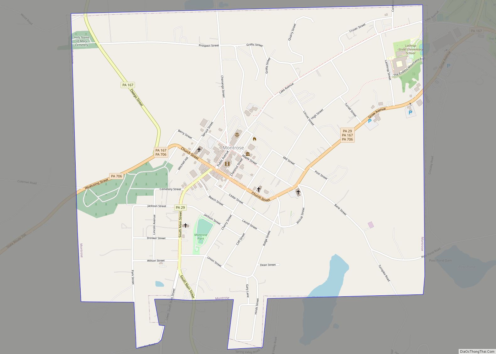
Online Interactive Map
Click on ![]() to view map in "full screen" mode.
to view map in "full screen" mode.
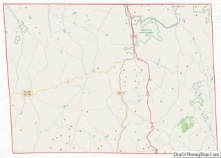
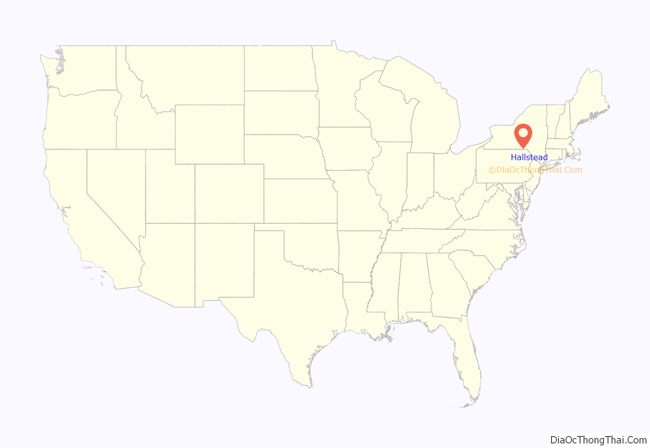
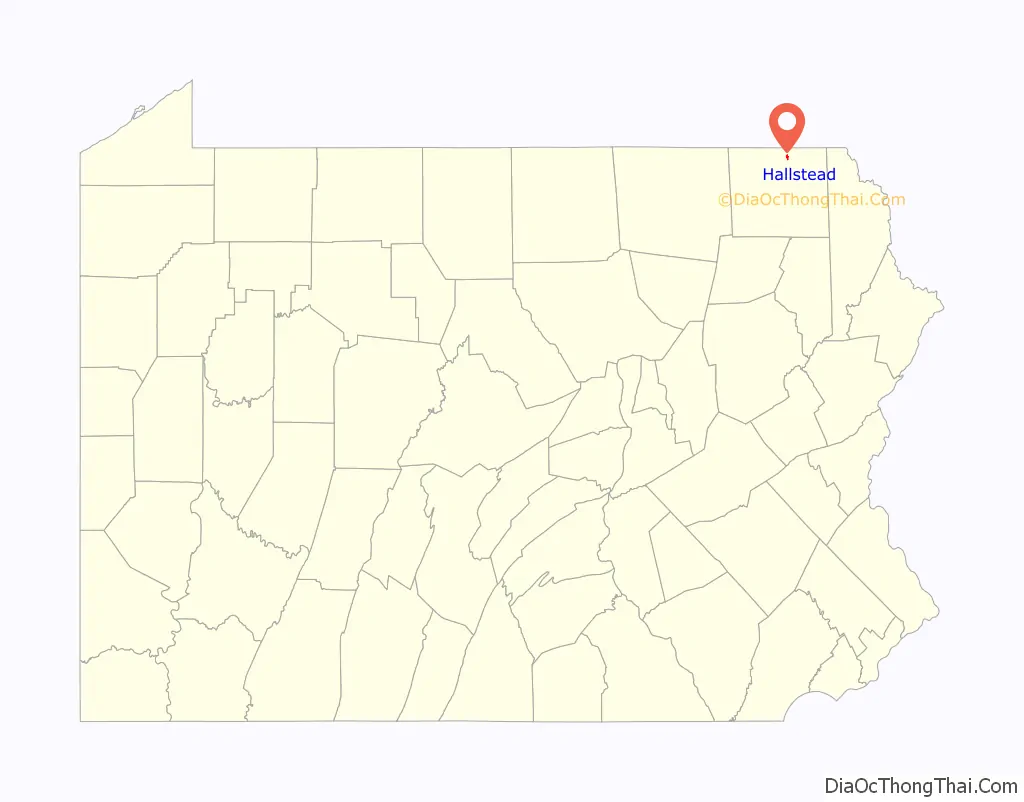
Hallstead location map. Where is Hallstead borough?
History
Hallstead was settled in 1787. What is now Hallstead was incorporated as Great Bend Village on November 28, 1874. In 1887, it was renamed to Hallstead Borough in honor of William F. Hallstead, president of the Delaware, Lackawanna and Western Railroad.
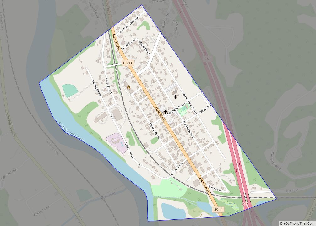
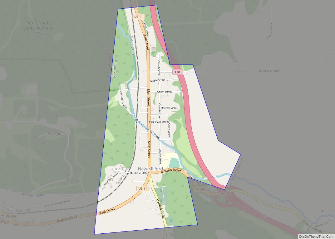
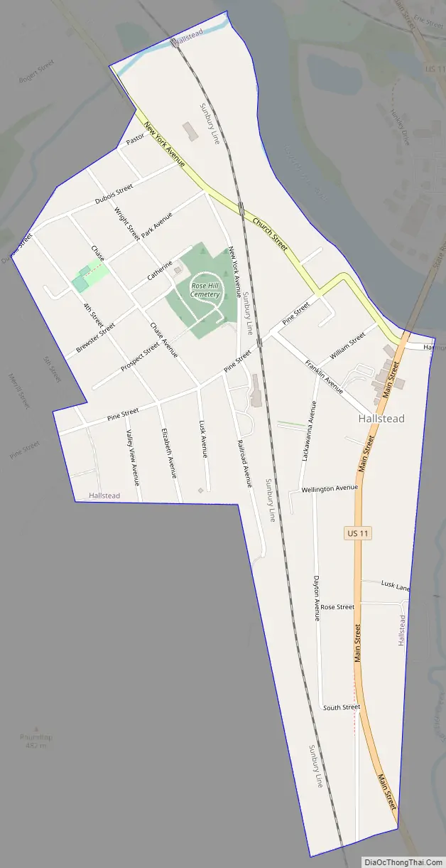
Hallstead Road Map
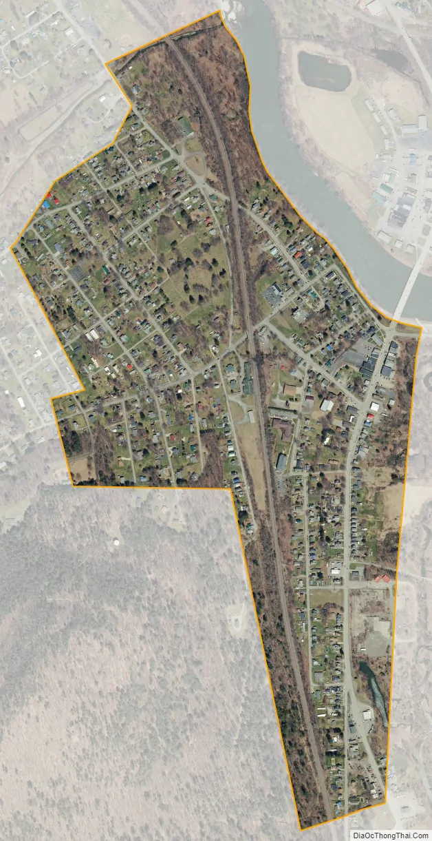
Hallstead city Satellite Map
Geography
Hallstead is located at 41°57′45″N 75°44′55″W / 41.96250°N 75.74861°W / 41.96250; -75.74861 (41.962425, -75.748598).
According to the United States Census Bureau, the borough has a total area of 0.4 square miles (1.0 km), all land.
The boroughs of Hallstead and nearby Great Bend are bisected by both Interstate 81 and the Susquehanna River.
See also
Map of Pennsylvania State and its subdivision:- Adams
- Allegheny
- Armstrong
- Beaver
- Bedford
- Berks
- Blair
- Bradford
- Bucks
- Butler
- Cambria
- Cameron
- Carbon
- Centre
- Chester
- Clarion
- Clearfield
- Clinton
- Columbia
- Crawford
- Cumberland
- Dauphin
- Delaware
- Elk
- Erie
- Fayette
- Forest
- Franklin
- Fulton
- Greene
- Huntingdon
- Indiana
- Jefferson
- Juniata
- Lackawanna
- Lancaster
- Lawrence
- Lebanon
- Lehigh
- Luzerne
- Lycoming
- Mc Kean
- Mercer
- Mifflin
- Monroe
- Montgomery
- Montour
- Northampton
- Northumberland
- Perry
- Philadelphia
- Pike
- Potter
- Schuylkill
- Snyder
- Somerset
- Sullivan
- Susquehanna
- Tioga
- Union
- Venango
- Warren
- Washington
- Wayne
- Westmoreland
- Wyoming
- York
- Alabama
- Alaska
- Arizona
- Arkansas
- California
- Colorado
- Connecticut
- Delaware
- District of Columbia
- Florida
- Georgia
- Hawaii
- Idaho
- Illinois
- Indiana
- Iowa
- Kansas
- Kentucky
- Louisiana
- Maine
- Maryland
- Massachusetts
- Michigan
- Minnesota
- Mississippi
- Missouri
- Montana
- Nebraska
- Nevada
- New Hampshire
- New Jersey
- New Mexico
- New York
- North Carolina
- North Dakota
- Ohio
- Oklahoma
- Oregon
- Pennsylvania
- Rhode Island
- South Carolina
- South Dakota
- Tennessee
- Texas
- Utah
- Vermont
- Virginia
- Washington
- West Virginia
- Wisconsin
- Wyoming