Hampton is an unincorporated community and census-designated place in Adams County, Pennsylvania, United States. The population was 1,432 at the 2020 census.
| Name: | Hampton CDP |
|---|---|
| LSAD Code: | 57 |
| LSAD Description: | CDP (suffix) |
| State: | Pennsylvania |
| County: | Adams County |
| Total Area: | 1.80 sq mi (4.66 km²) |
| Land Area: | 1.77 sq mi (4.58 km²) |
| Water Area: | 0.03 sq mi (0.08 km²) |
| Total Population: | 1,432 |
| Population Density: | 809.95/sq mi (312.81/km²) |
| FIPS code: | 4232320 |
| GNISfeature ID: | 1176443 |
Online Interactive Map
Click on ![]() to view map in "full screen" mode.
to view map in "full screen" mode.
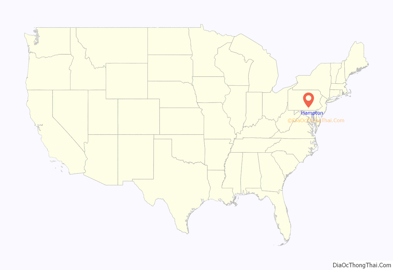
Hampton location map. Where is Hampton CDP?
History
The village of Hampton was originally surveyed in 1814 by Daniel Deardorff on the request of Dr. John B. Arnold. The first property in Hampton was owned by David Albert and completed in 1814, though it would take years before other properties were established in the Hampton area. The town had a post office for many years, as well as a hotel called “The Washington House.”
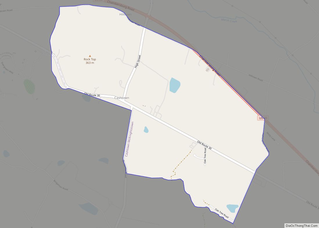
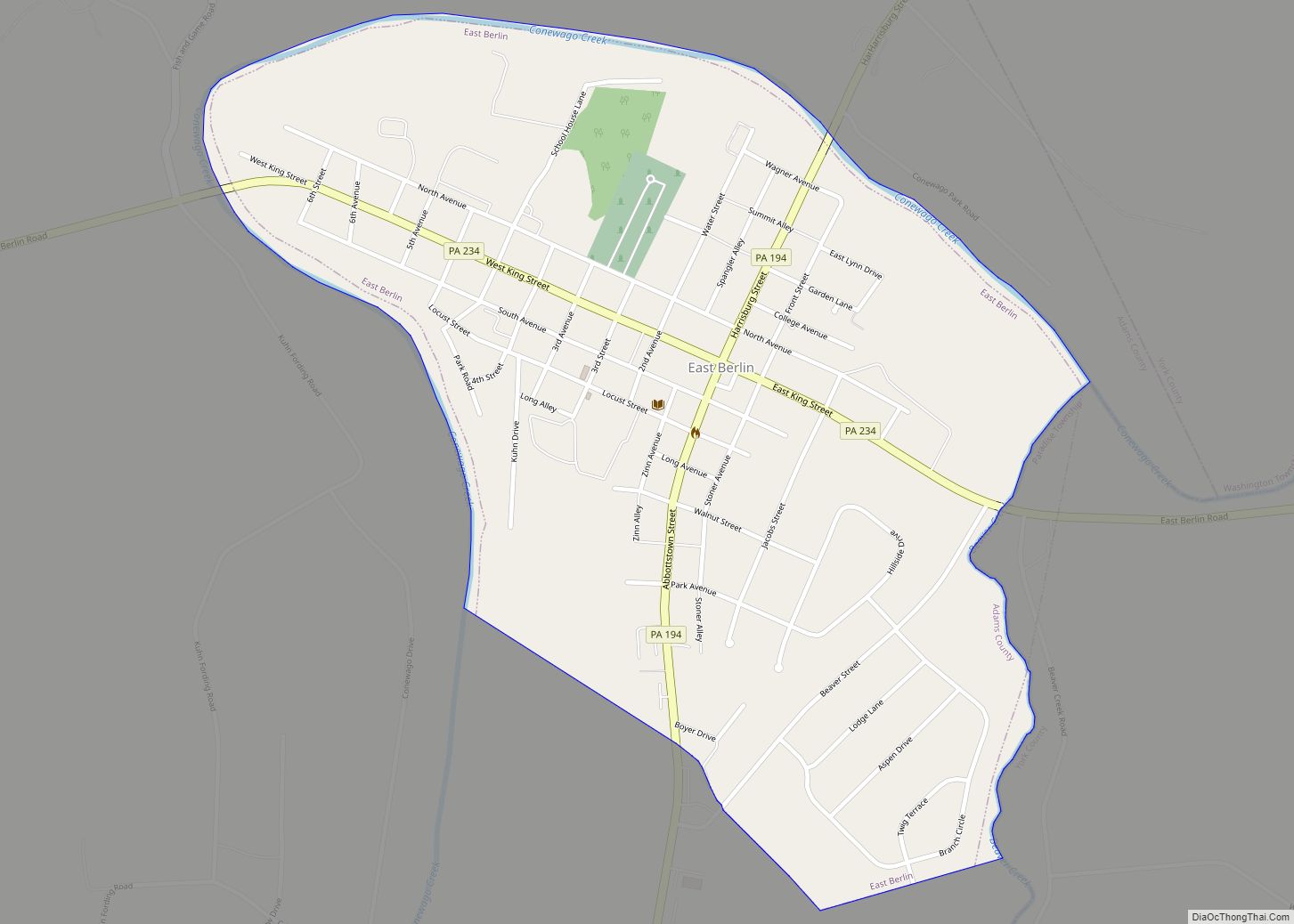
Hampton Road Map
Hampton city Satellite Map
Geography
Hampton is located in Reading Township at 39°55′42″N 77°3′25″W / 39.92833°N 77.05694°W / 39.92833; -77.05694 (39.928268, -77.057051). It is situated at the intersection of Pennsylvania Route 94 (Carlisle Pike) and Pennsylvania Route 394 (Huntersville Hampton Road). Via Route 94, it is 21 miles (34 km) north to Carlisle and 10 miles (16 km) south to Hanover.
According to the United States Census Bureau, the community has an area of 0.6 square miles (1.6 km), all land.
See also
Map of Pennsylvania State and its subdivision:- Adams
- Allegheny
- Armstrong
- Beaver
- Bedford
- Berks
- Blair
- Bradford
- Bucks
- Butler
- Cambria
- Cameron
- Carbon
- Centre
- Chester
- Clarion
- Clearfield
- Clinton
- Columbia
- Crawford
- Cumberland
- Dauphin
- Delaware
- Elk
- Erie
- Fayette
- Forest
- Franklin
- Fulton
- Greene
- Huntingdon
- Indiana
- Jefferson
- Juniata
- Lackawanna
- Lancaster
- Lawrence
- Lebanon
- Lehigh
- Luzerne
- Lycoming
- Mc Kean
- Mercer
- Mifflin
- Monroe
- Montgomery
- Montour
- Northampton
- Northumberland
- Perry
- Philadelphia
- Pike
- Potter
- Schuylkill
- Snyder
- Somerset
- Sullivan
- Susquehanna
- Tioga
- Union
- Venango
- Warren
- Washington
- Wayne
- Westmoreland
- Wyoming
- York
- Alabama
- Alaska
- Arizona
- Arkansas
- California
- Colorado
- Connecticut
- Delaware
- District of Columbia
- Florida
- Georgia
- Hawaii
- Idaho
- Illinois
- Indiana
- Iowa
- Kansas
- Kentucky
- Louisiana
- Maine
- Maryland
- Massachusetts
- Michigan
- Minnesota
- Mississippi
- Missouri
- Montana
- Nebraska
- Nevada
- New Hampshire
- New Jersey
- New Mexico
- New York
- North Carolina
- North Dakota
- Ohio
- Oklahoma
- Oregon
- Pennsylvania
- Rhode Island
- South Carolina
- South Dakota
- Tennessee
- Texas
- Utah
- Vermont
- Virginia
- Washington
- West Virginia
- Wisconsin
- Wyoming
