Hebron is a census-designated place in South Lebanon Township, Lebanon County, Pennsylvania, United States. As of the 2010 census the population was 1,305. The Lebanon County Prison is located within the CDP.
| Name: | Hebron CDP |
|---|---|
| LSAD Code: | 57 |
| LSAD Description: | CDP (suffix) |
| State: | Pennsylvania |
| County: | Lebanon County |
| Elevation: | 509 ft (155 m) |
| Total Area: | 0.16 sq mi (0.42 km²) |
| Land Area: | 0.16 sq mi (0.42 km²) |
| Water Area: | 0.00 sq mi (0.00 km²) |
| Total Population: | 939 |
| Population Density: | 5,868.75/sq mi (2,262.12/km²) |
| ZIP code: | 17042 |
| Area code: | 717 |
| FIPS code: | 4233504 |
| GNISfeature ID: | 1176739 |
Online Interactive Map
Click on ![]() to view map in "full screen" mode.
to view map in "full screen" mode.
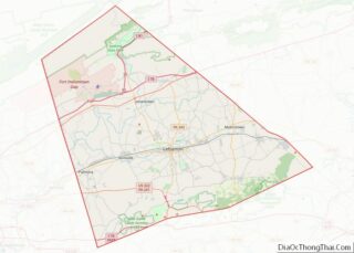
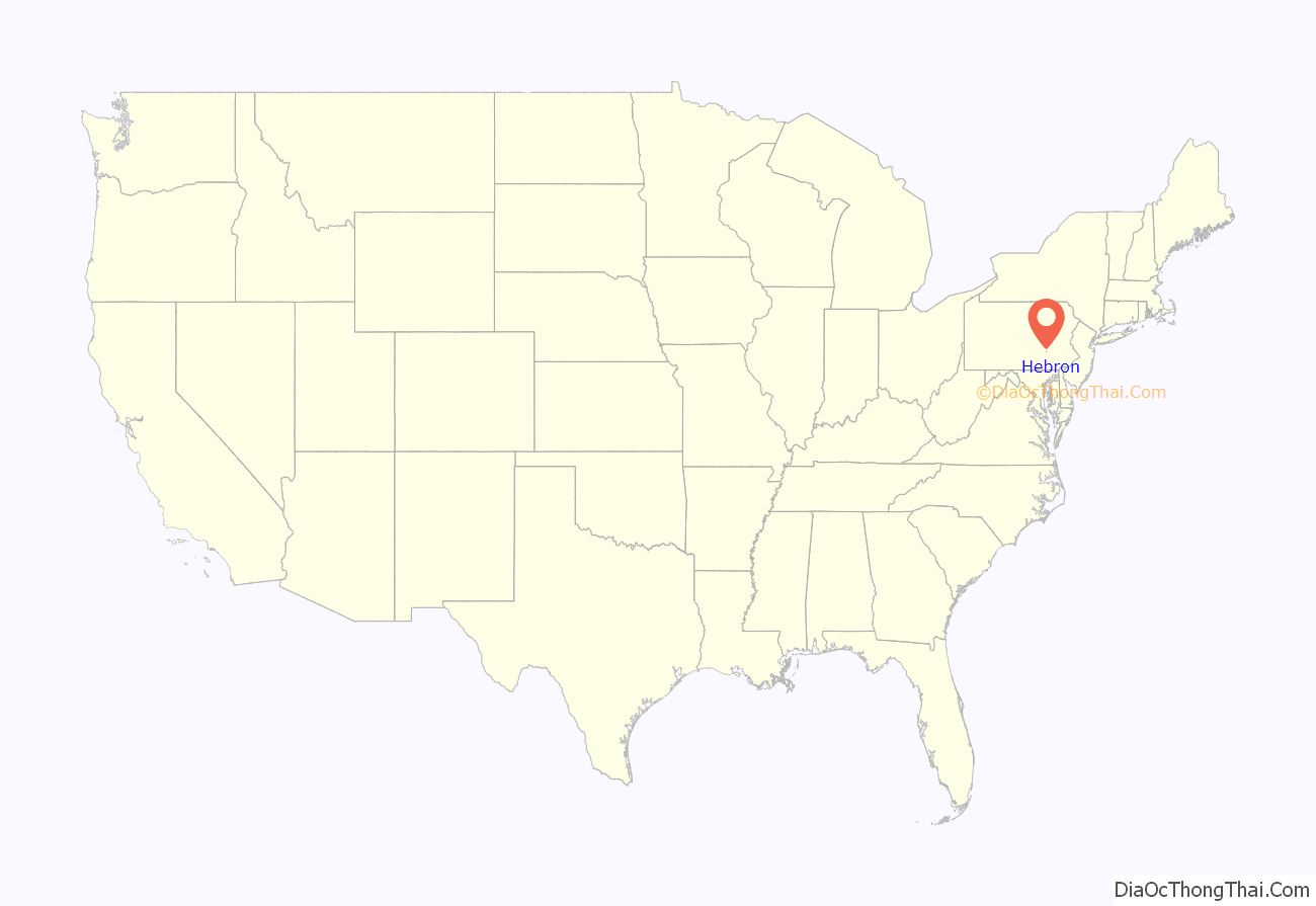
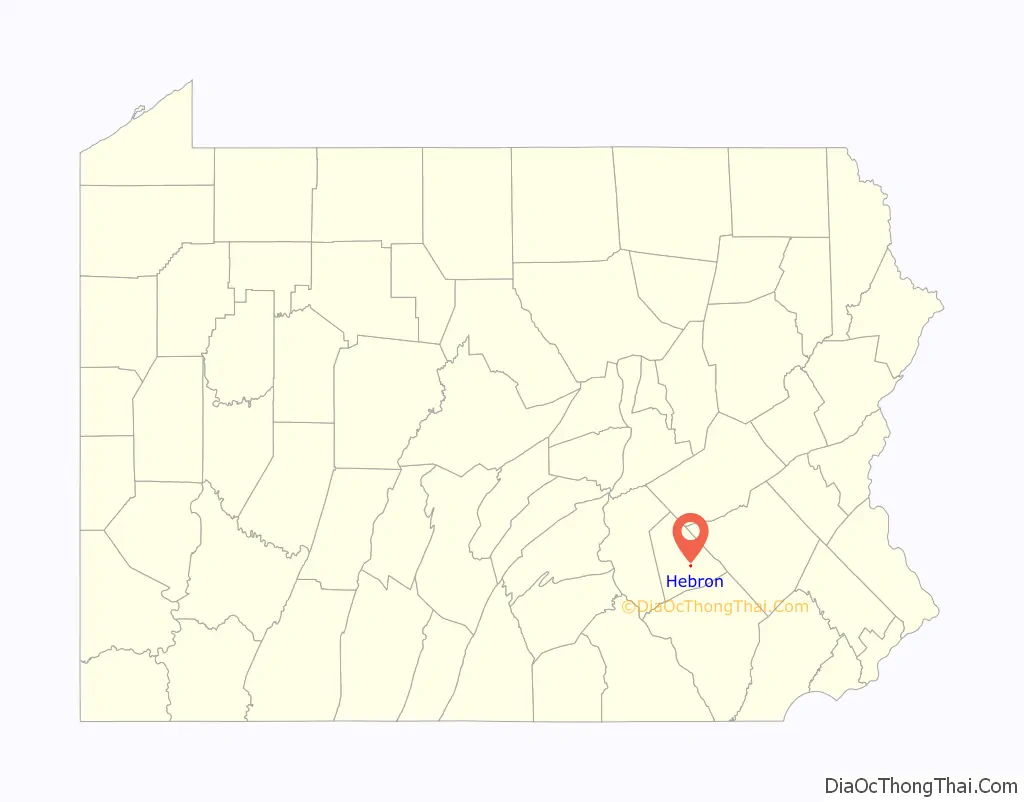
Hebron location map. Where is Hebron CDP?
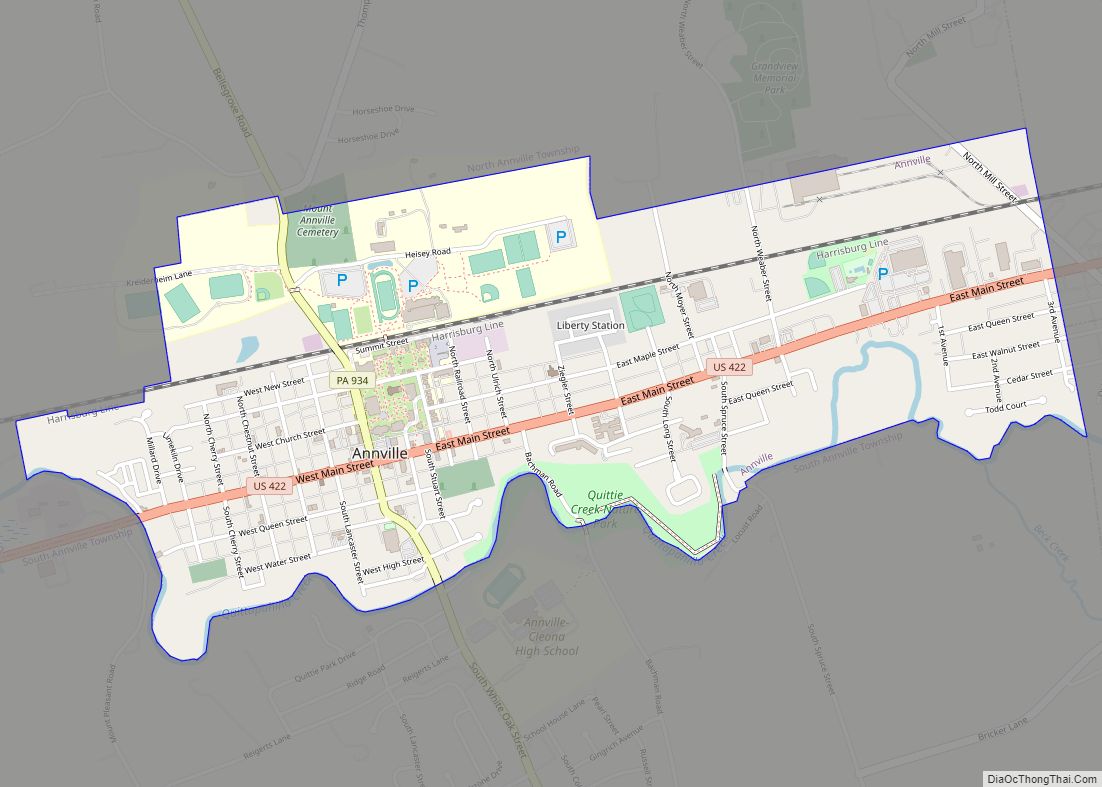
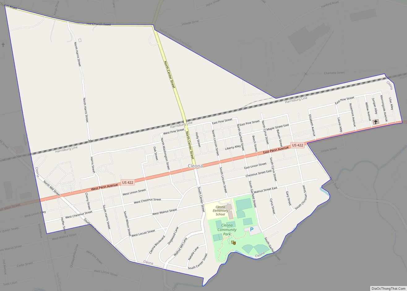
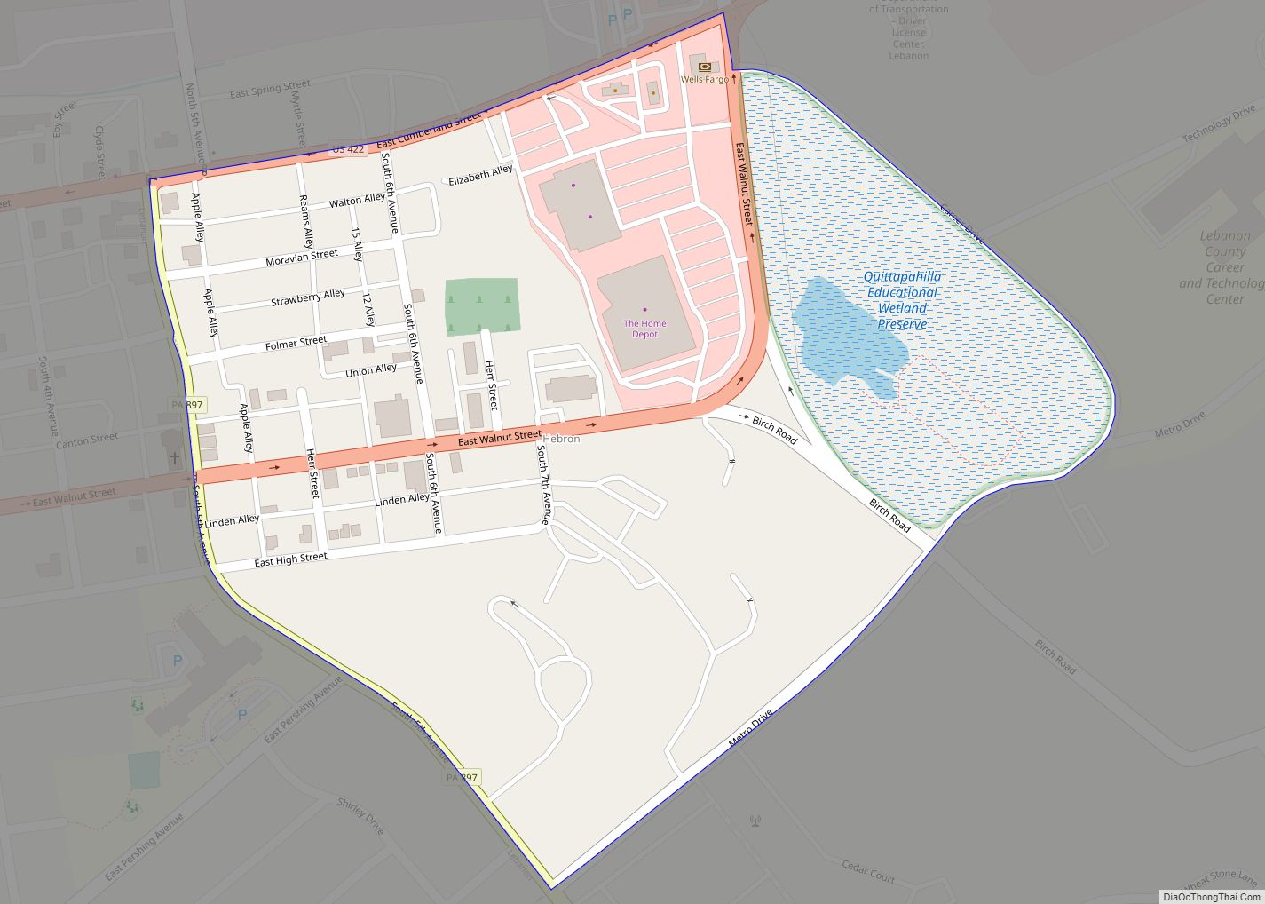
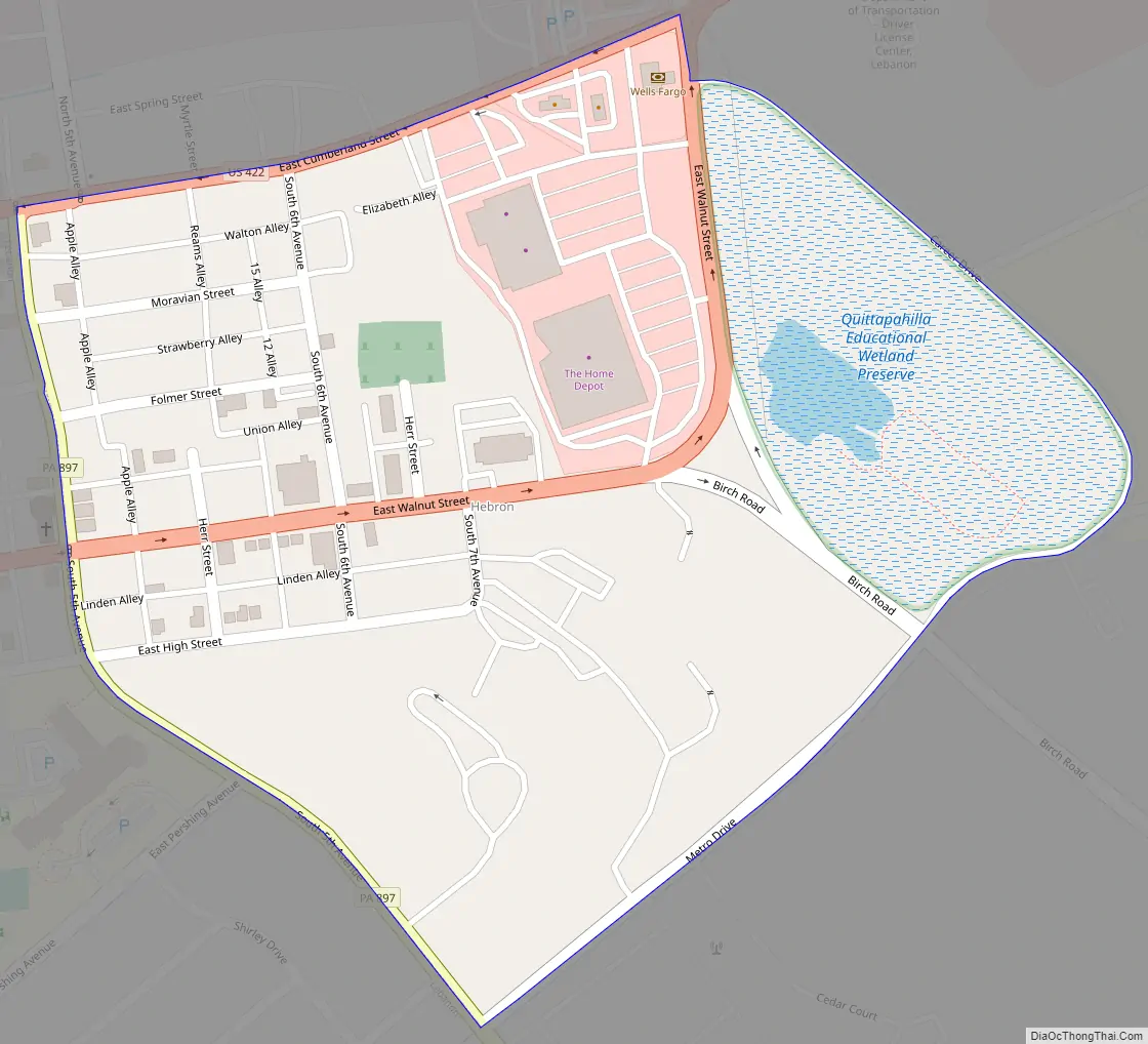
Hebron Road Map
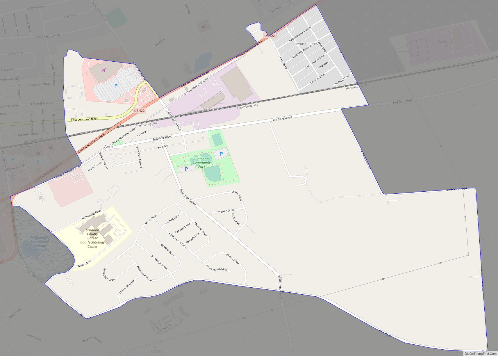
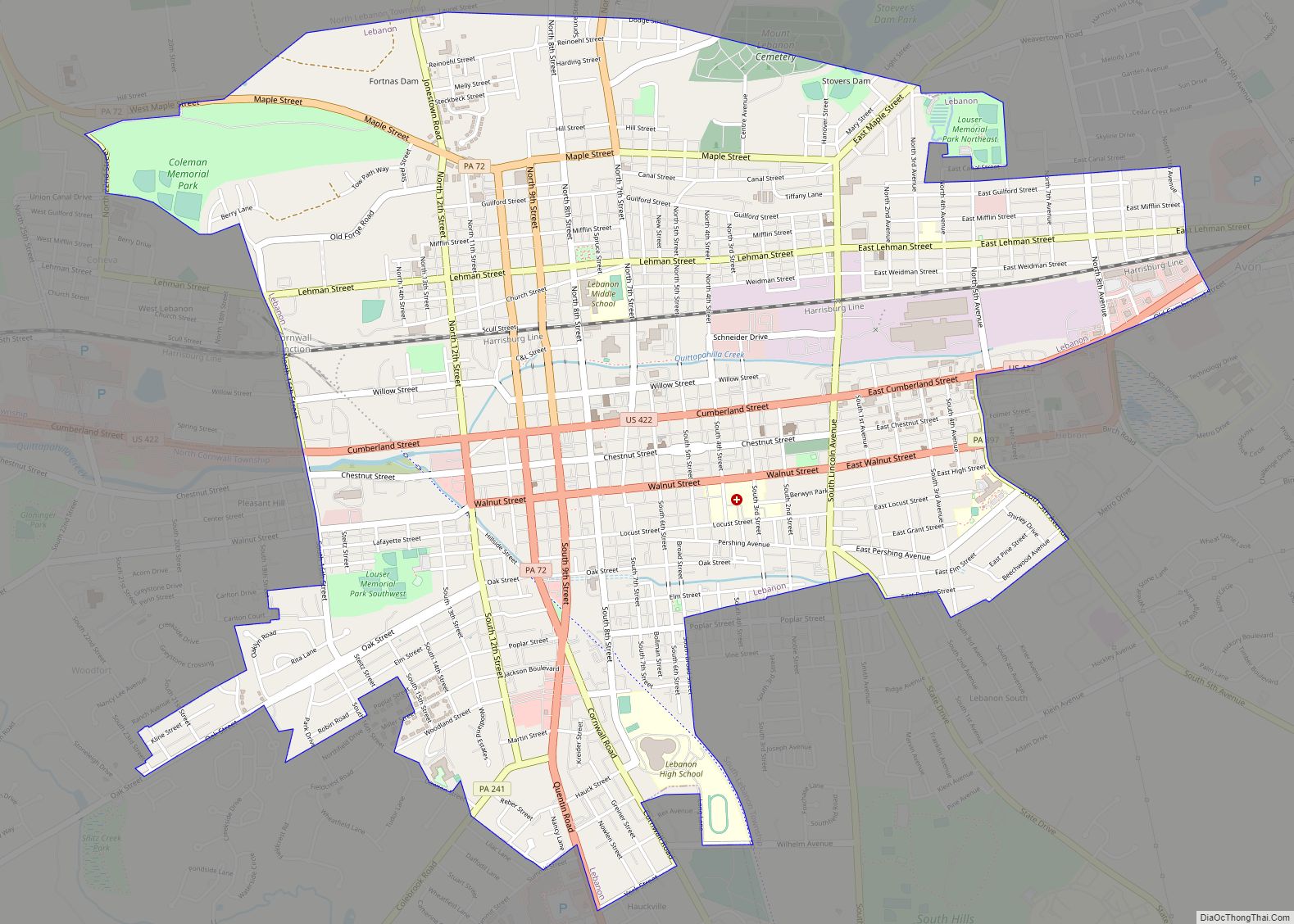
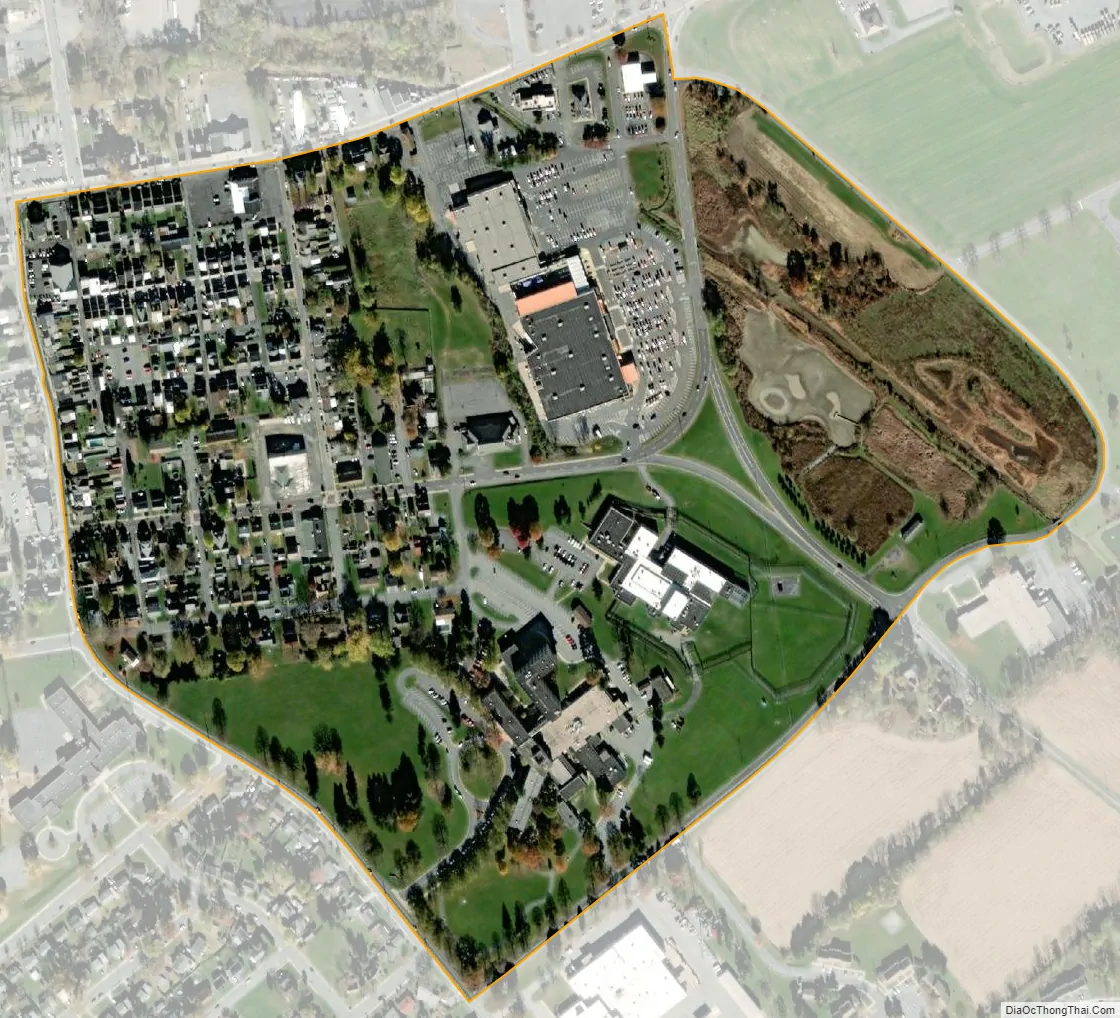
Hebron city Satellite Map
Geography
Hebron is in central Lebanon County, along the northern edge of South Lebanon Township. It is bordered to the north and west by the city of Lebanon, the county seat, and to the east by unincorporated Avon.
According to the U.S. Census Bureau, the Hebron CDP has an area of 0.20 square miles (0.52 km), all land. The area drains north to Quittapahilla Creek, the main stream through Lebanon, flowing west to Swatara Creek, part of the Susquehanna River watershed.
See also
Map of Pennsylvania State and its subdivision:- Adams
- Allegheny
- Armstrong
- Beaver
- Bedford
- Berks
- Blair
- Bradford
- Bucks
- Butler
- Cambria
- Cameron
- Carbon
- Centre
- Chester
- Clarion
- Clearfield
- Clinton
- Columbia
- Crawford
- Cumberland
- Dauphin
- Delaware
- Elk
- Erie
- Fayette
- Forest
- Franklin
- Fulton
- Greene
- Huntingdon
- Indiana
- Jefferson
- Juniata
- Lackawanna
- Lancaster
- Lawrence
- Lebanon
- Lehigh
- Luzerne
- Lycoming
- Mc Kean
- Mercer
- Mifflin
- Monroe
- Montgomery
- Montour
- Northampton
- Northumberland
- Perry
- Philadelphia
- Pike
- Potter
- Schuylkill
- Snyder
- Somerset
- Sullivan
- Susquehanna
- Tioga
- Union
- Venango
- Warren
- Washington
- Wayne
- Westmoreland
- Wyoming
- York
- Alabama
- Alaska
- Arizona
- Arkansas
- California
- Colorado
- Connecticut
- Delaware
- District of Columbia
- Florida
- Georgia
- Hawaii
- Idaho
- Illinois
- Indiana
- Iowa
- Kansas
- Kentucky
- Louisiana
- Maine
- Maryland
- Massachusetts
- Michigan
- Minnesota
- Mississippi
- Missouri
- Montana
- Nebraska
- Nevada
- New Hampshire
- New Jersey
- New Mexico
- New York
- North Carolina
- North Dakota
- Ohio
- Oklahoma
- Oregon
- Pennsylvania
- Rhode Island
- South Carolina
- South Dakota
- Tennessee
- Texas
- Utah
- Vermont
- Virginia
- Washington
- West Virginia
- Wisconsin
- Wyoming